
Heading Out to More Open Part of Bog River Flow
[nycpseries postID=”8769″]
With the first par being the Hitchins Pond and the second part being officially Lows Lake in the Bog River Flow.
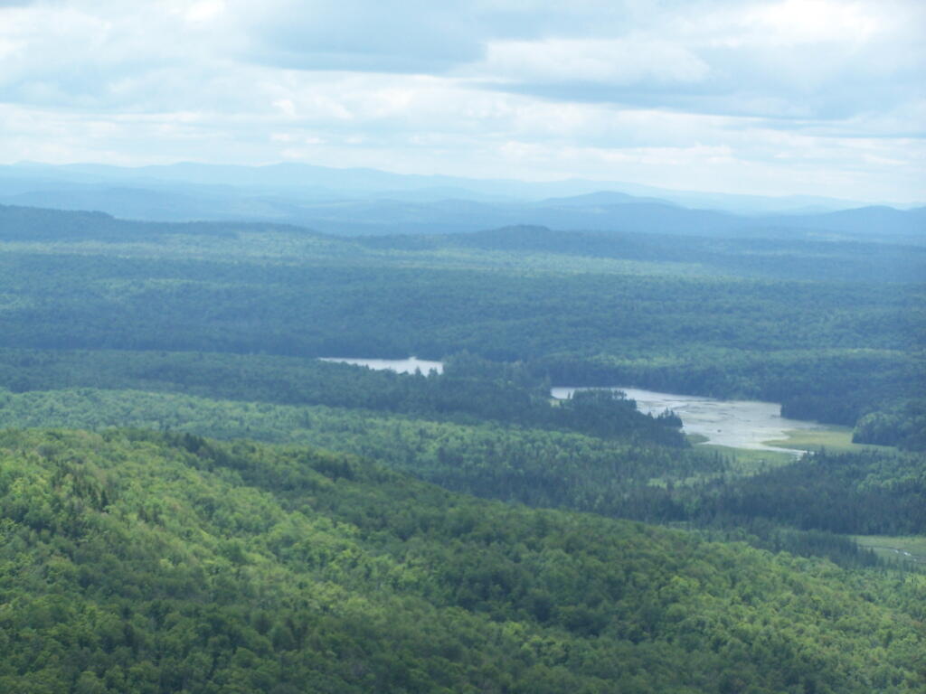
Taken on Friday July 1, 2011 at Mount Arab.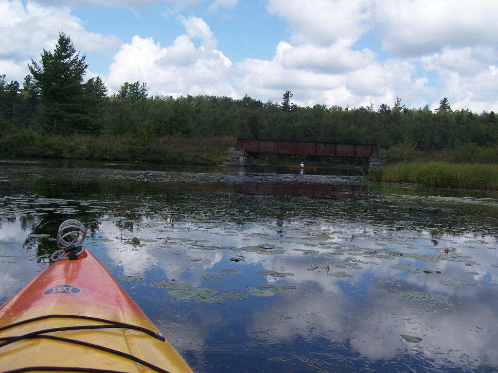
About two miles into Bog River Flow, you cross under a relatively low railroad bridge. It's actually about 5 or 6 feet above the flow, and doesn't feel at all cramped in a canoe or kayak.
Taken on Friday August 13, 2010 at Hitchens Pond.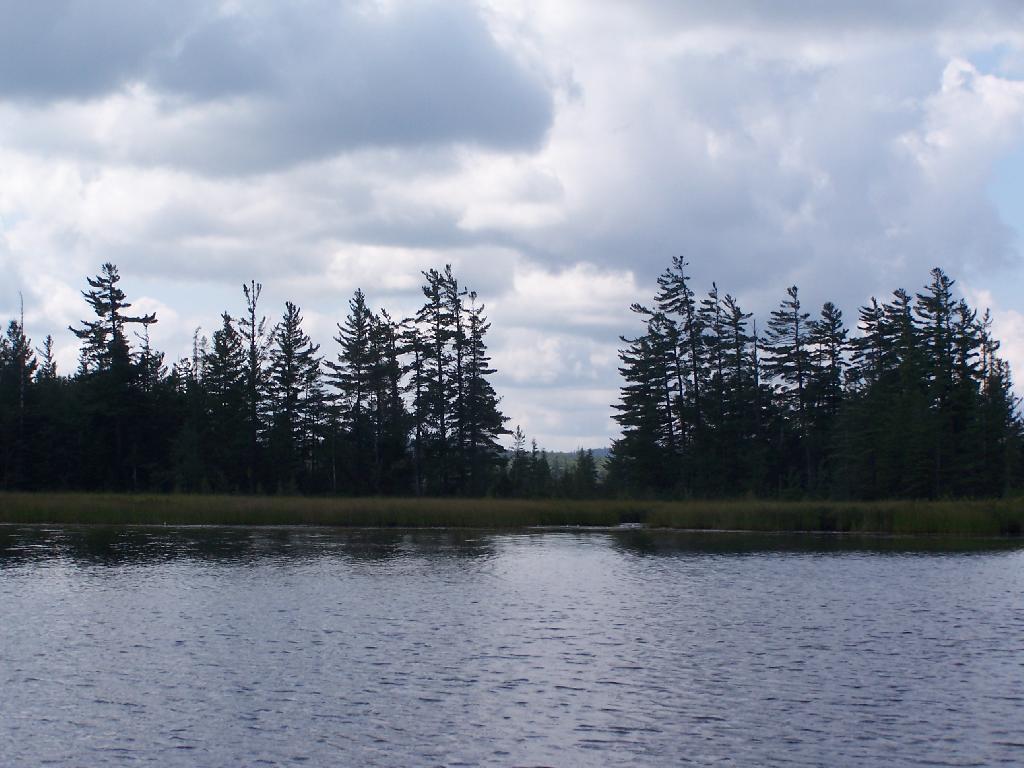
This picture can't even reflect the beauty of this portion of Bog River Flow.
Taken on Friday August 13, 2010 at Hitchens Pond.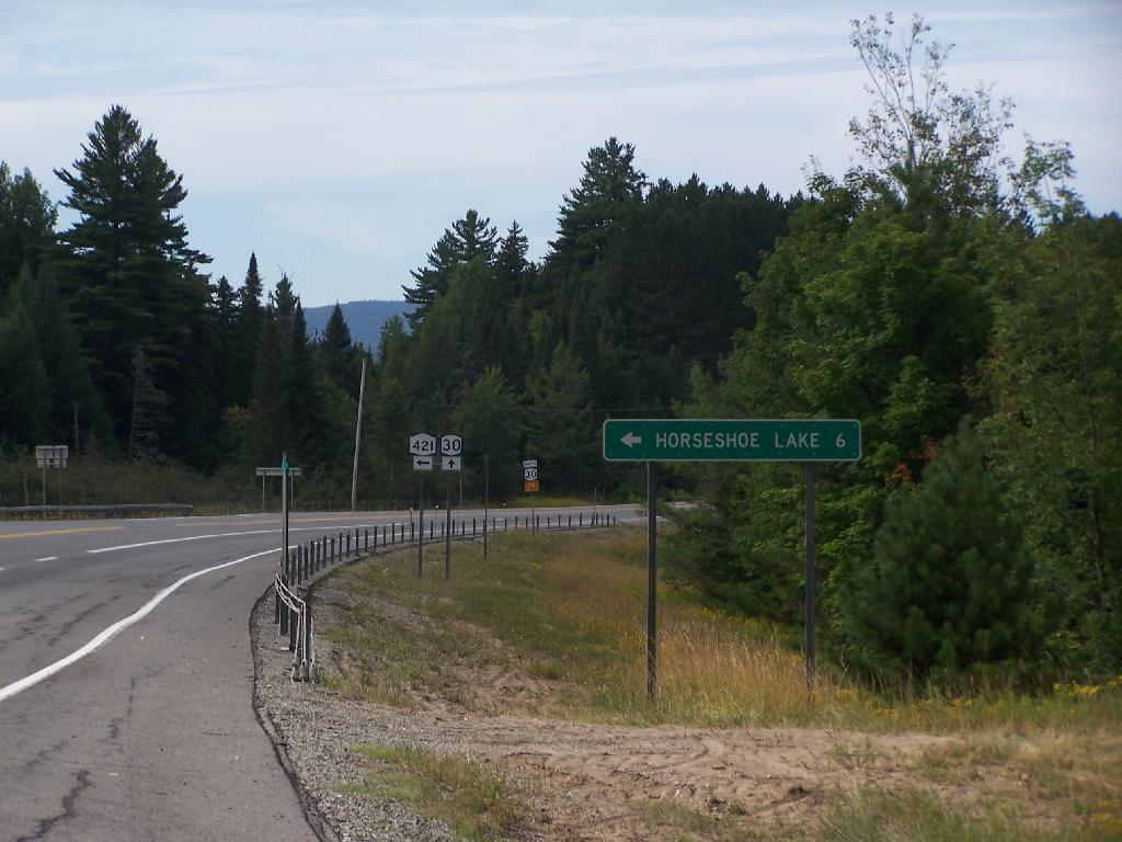
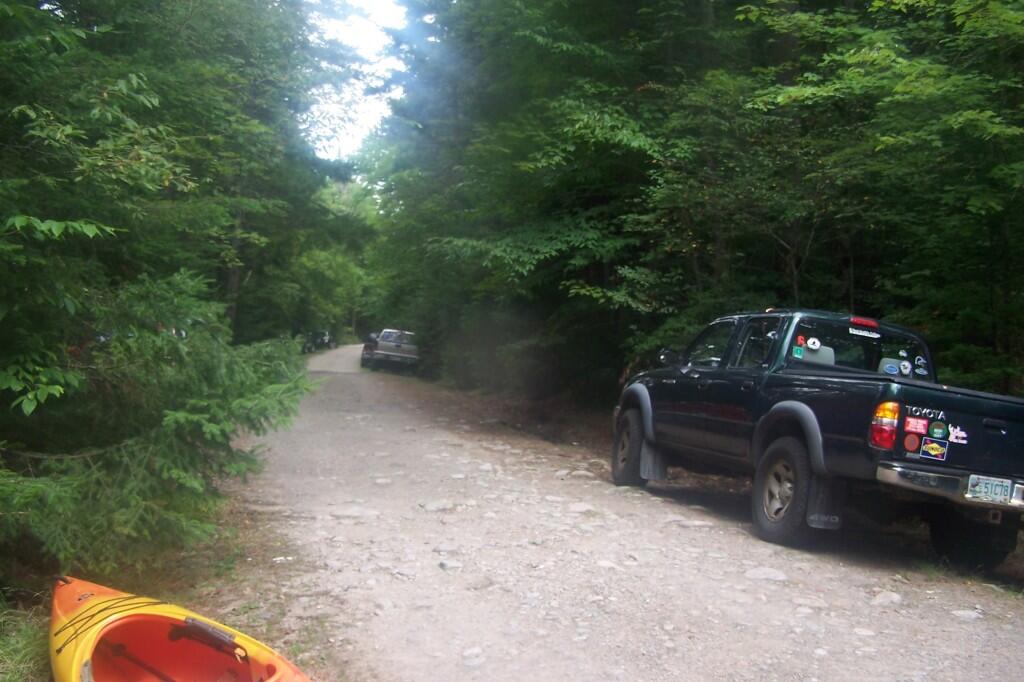
This is the turn off for NY 421, one of the strangest state highways in the state. It is a dead ended highway, that leads to gravel roads around Horseshoe Lake and Bog River Flow. It is very twisty and narrow, and portions have not been resurfaced in over 50 years.
Taken on Thursday August 12, 2010 at Horseshoe Lake.