Along Firetower Road Trail

The view from my office of the plaza isn't all that great, it turns out many of the fireworks were actually below the horizon of the Agency buildings.
Taken on Monday December 4, 2023 at Alfred E. Smith Building.
Farm country in hills north of Parsons, near an area known as Lead Mine, WV.
This area is famous as it was where several photos of the Vagabonds -- Thomas Edison, John Burroughs, Henry Ford, and Harvey Firestone -- were taken in 1918 of them camping in hills. About two decades later this area was home to a large CCC Camp that worked on reforestation projects in the area.
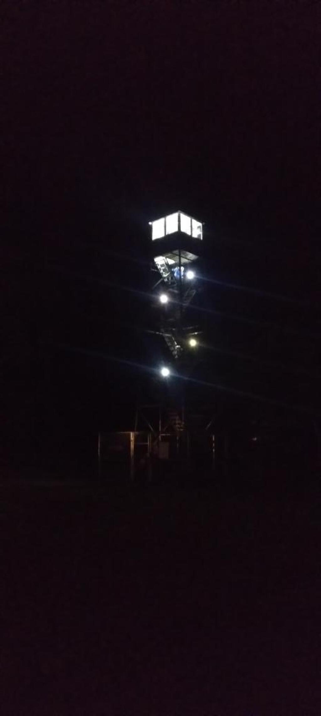
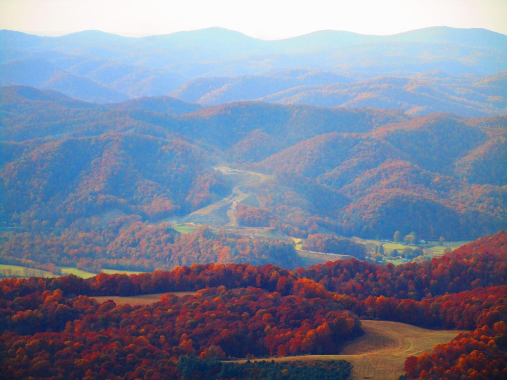
As seen from the Olson Fire Tower.
Taken on Thursday October 26, 2023 at Monongahela National Forest.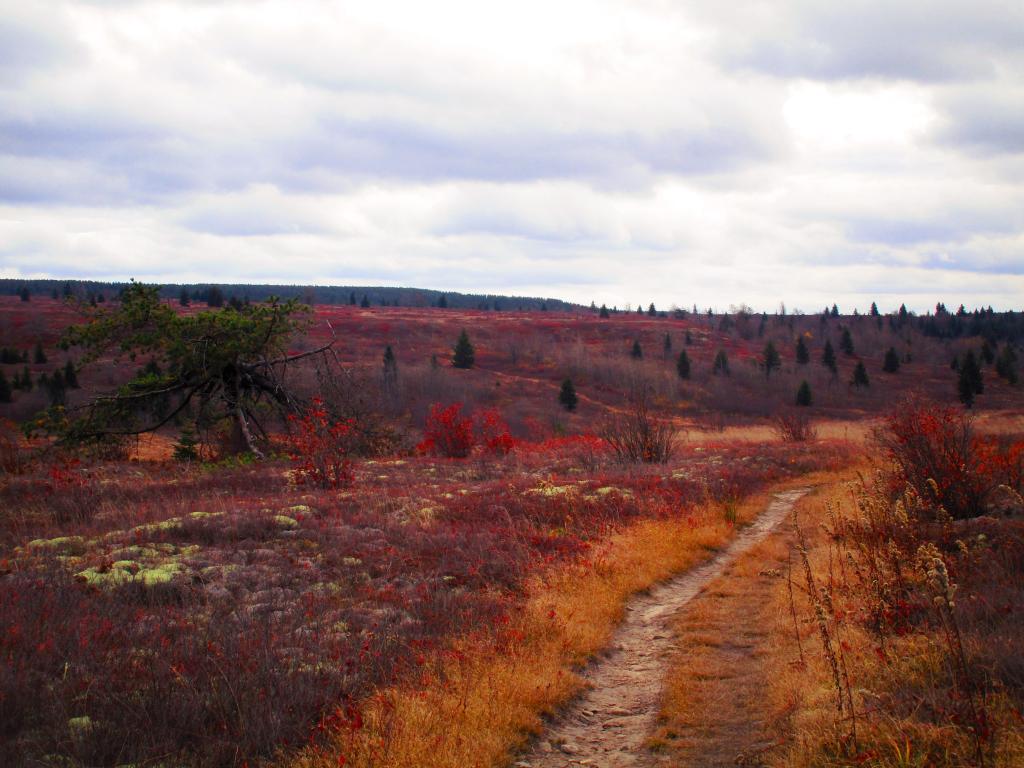
The heath barrens of Dolly Sods. Once an old-growth forest, after it was logged at the turn of century, it became ravaged by decades of fires and became over time permanently huckleberry plains or heath barrens.
The cold and wind, along with loss of organic matter made it impossible for full forests to regrow, giving it the characteristic landscape of Northern Canada or Alaska tundra.
Taken on Friday October 27, 2023 at Dolly Sods Wilderness.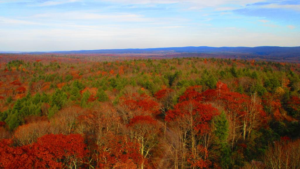
You might think the this area looks remarkably flat, but looks can be deceiving from the Olson Firetower which is on Backbone Mountain at 3,650 feet.
The range in the distance is the Allegheny Front (the Eastern Continental Divide), indeed it tops out at above 4,200 feet elevation with Petersburgh on the east side beyond it only about 1,000-1,500 feet elevation. The west side of Allegheny Front isn't as big of a drop, but the Canaan Valley is still only 3,200-3,500 feet elevation.
In the middle you can see the smoke stacks of the Mount Storm Coal Power Plant, the largest in the northeastern West Virginia which is a major electricity source for the Greater Washington DC area.
Taken on Thursday October 26, 2023 at Monongahela National Forest.
As seen from the Olson Firetower, they are blasting Corridor H through the mountains from Kearns to Parsons.
The new superhighway, when fully built out from I-66 in Stratsburg, VA will take hours off the drive to I-78 in Weston WV, unlocking both the wilderness areas and natural areas of the northern part of state to thousands from Washington DC and Pittsburgh Penna, but it's not without controversy.
For one, it's expensive to blast through mountains and build many bridges hundreds of feet above the valleys below, and only comes at the troughs of federal largess. And it's not even built up to full interstate standards, with many at-grade intersections due to enormous cost of the highway, one of most expensive per mile currently under active construction nationwide.
Second, several sections are very controversial, such as whether to build the road north or south of Thomas. The southerly route is much shorter, but it would cross the North Fork of Blackwater Canyon, significant wetlands and the Coketon Historic-area, once an African American village -- and risks spilling millions of gallons of acid mine discharge into the river. But the northerly route is miles longer, steeper and much more expensive to build. Likewise, VA DOT has opposed the extension through Virginia, despite being on WV Maps. State DOTs ultimately have final say if interstate highways are constructed, if they don't request funding, people will continue to have to get off onto a narrow, steep, twisty road at the state line.
Plus, the existing portions of the expressway are bringing record numbers each year of tourists to northern WV, on narrow, twisty local roads with limited parking, and parks and wilderness areas not prepared to deal with that kind of traffic especially during peak summer and autumn seasons.
Taken on Thursday October 26, 2023 at Monongahela National Forest.