Burlington Flats
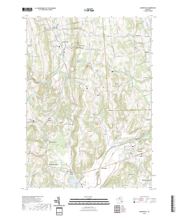
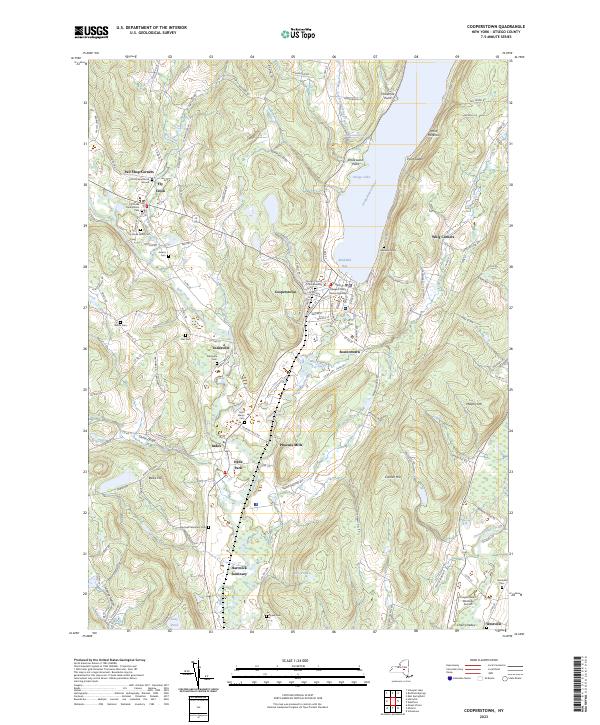
Burlington Flats is a hamlet in the Town of Burlington in Otsego County, New York, United States. It's a few miles west of Cooperstown, in a deep agricultural valley not that far from Basswood State Forest.
Burlington Flats is a hamlet in the Town of Burlington in Otsego County, New York, United States. It's a few miles west of Cooperstown, in a deep agricultural valley not that far from Basswood State Forest.
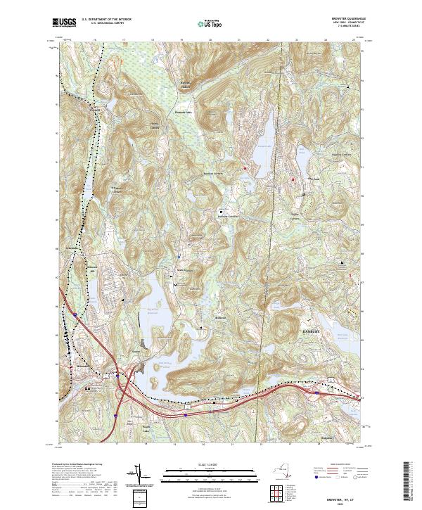
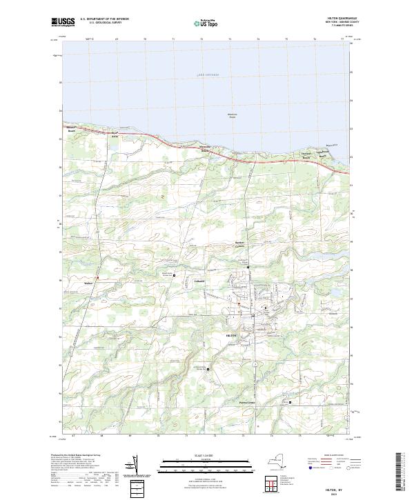
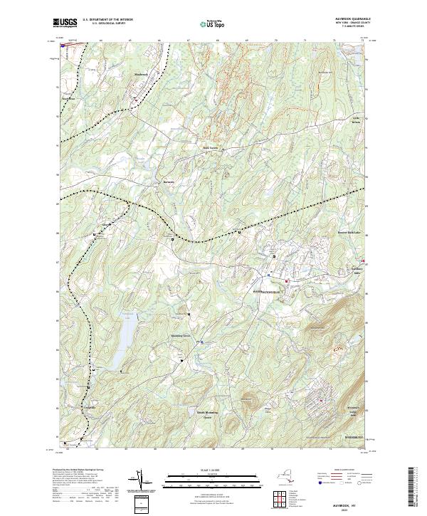
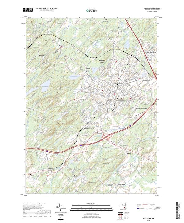
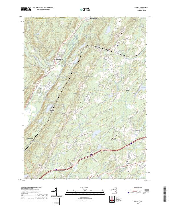
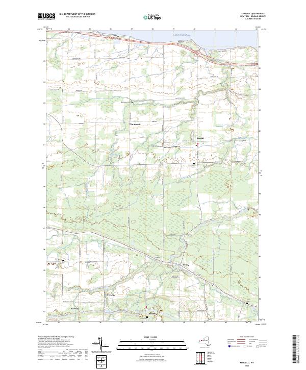
Counties: Albany to Delaware / Dutchess to Livingston / Madison to Otsego / Putnam to Suffolk / Sullivan to Yates
Browse Topographic Maps: Full State / Historical USGS Topographic Maps
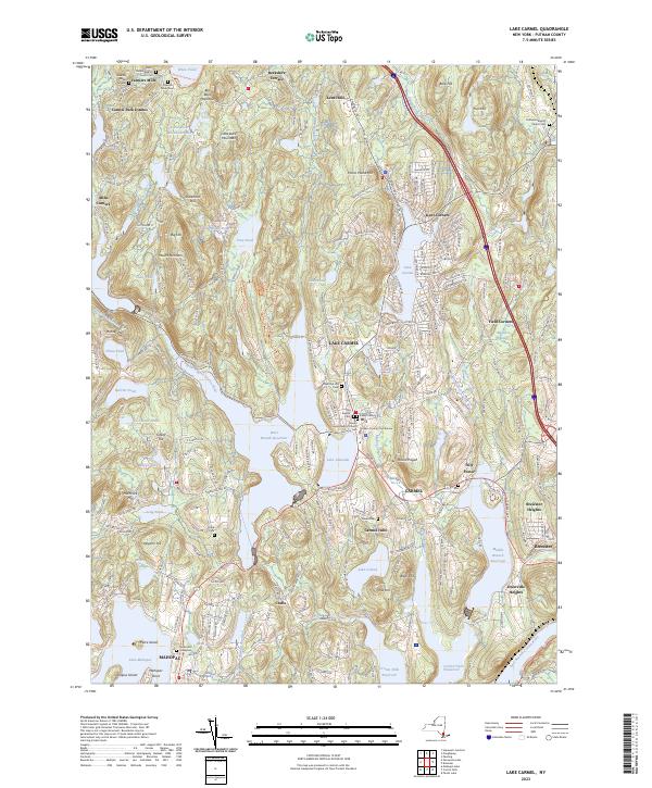
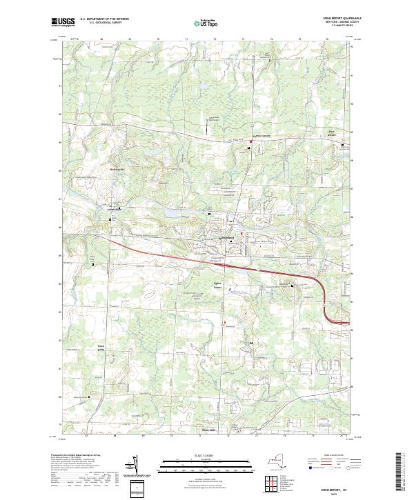
Counties: Albany to Delaware / Dutchess to Livingston / Madison to Otsego / Putnam to Suffolk / Sullivan to Yates
Browse Topographic Maps: Full State / Historical USGS Topographic Maps
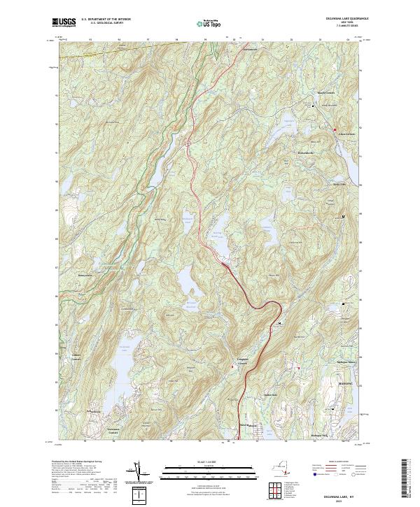
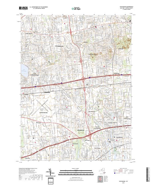
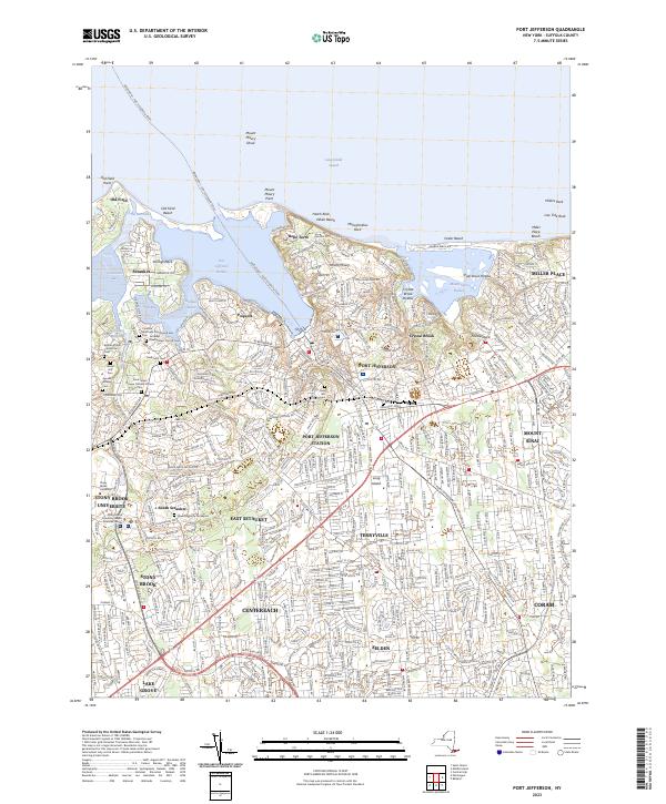
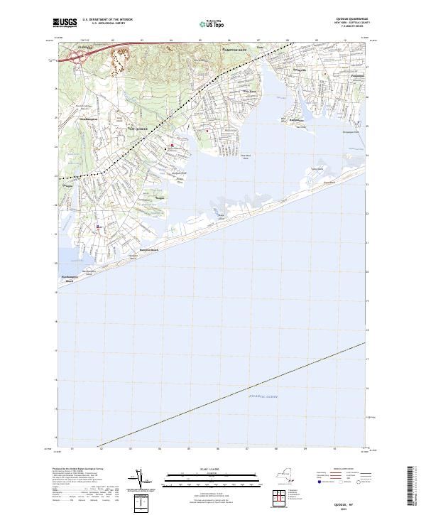
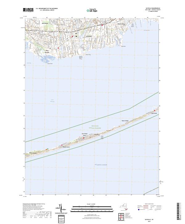
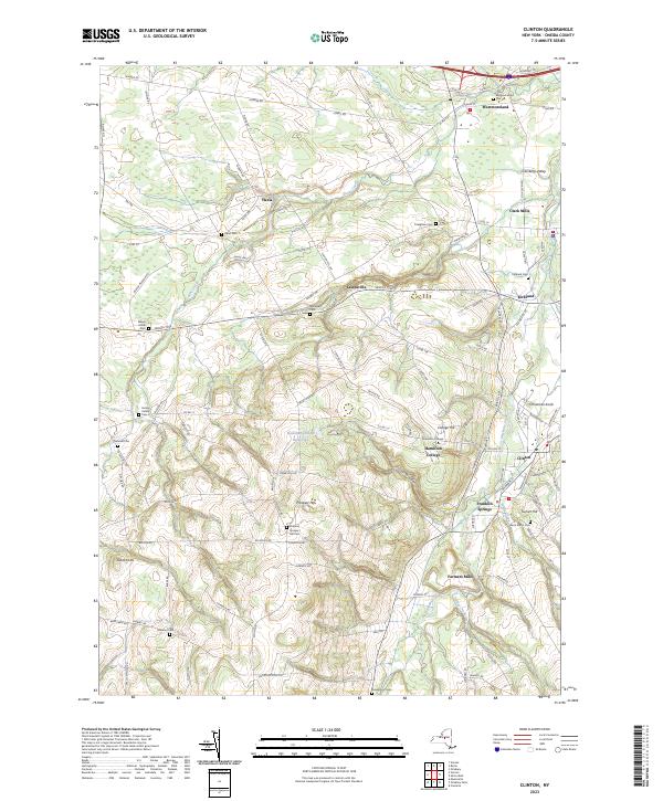
Counties: Albany to Delaware / Dutchess to Livingston / Madison to Otsego / Putnam to Suffolk / Sullivan to Yates
Browse Topographic Maps: Full State / Historical USGS Topographic Maps
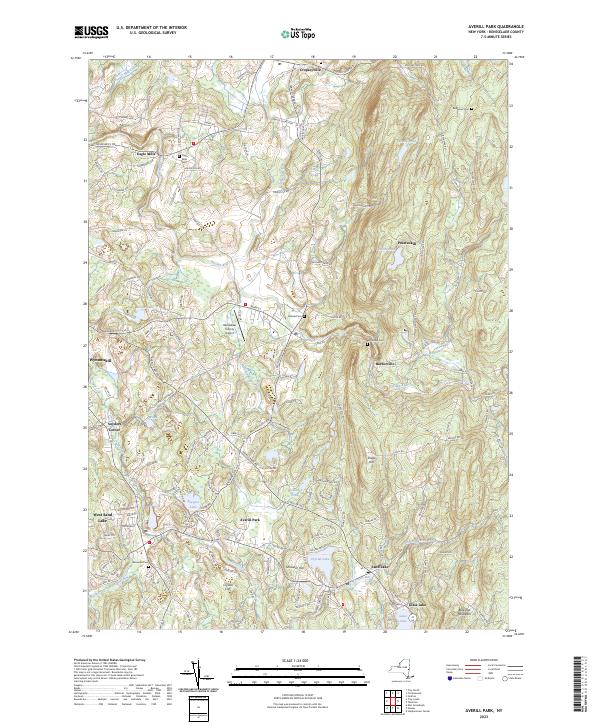
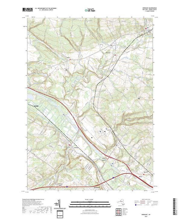
Counties: Albany to Delaware / Dutchess to Livingston / Madison to Otsego / Putnam to Suffolk / Sullivan to Yates
Browse Topographic Maps: Full State / Historical USGS Topographic Maps
| PDF (50-60 MB Download) | Historical USGS Topo Maps | State Lands (Links to DEC Website) | Towns (Percent of Town’s Area) |
|---|---|---|---|
Current Amsterdam GeoPDF Map |
1954 Map No. 136622, 1954 Map No. 136623, 1954 Map No. 136624, 1954 Map No. 137071 | NA | Amsterdam city (100%), Amsterdam (56%), Duanesburg (0%), Florida (47%), Perth (28%), Princetown (0%) |
Current Canajoharie GeoPDF Map |
1944 Map No. 123405, 1944 Map No. 123406 | NA | Canajoharie (28%), Ephratah (9%), Minden (1%), Palatine (84%), Root (3%), St. Johnsville (9%) |
Current Carlisle GeoPDF Map |
1943 Map No. 122809, 1943 Map No. 122810 | Rural Grove State Forest, Yatesville Falls State Forest | Carlisle (36%), Charleston (28%), Glen (5%), Root (56%) |
Current Duanesburg GeoPDF Map |
1954 Map No. 137906, 1954 Map No. 137907, 1954 Map No. 137909 | Featherstonhaugh State Forest | Duanesburg (59%), Esperance (0%), Florida (24%) |
Current East Springfield GeoPDF Map |
1943 Map No. 138023, 1943 Map No. 138024 | NA | Cherry Valley (34%), Middlefield (19%), Minden (1%), Otsego (0%), Roseboom (4%), Springfield (57%), Stark (3%) |
Current Esperance GeoPDF Map |
1943 Map No. 138118, 1943 Map No. 138120 | Lost Valley State Forest, Charleston State Forest | Carlisle (9%), Charleston (72%), Duanesburg (3%), Esperance (54%), Florida (7%), Glen (11%) |
Current Fort Plain GeoPDF Map |
1944 Map No. 138157, 1944 Map No. 138280 | NA | Canajoharie (9%), Danube (4%), Manheim (0%), Minden (87%), Palatine (2%), St. Johnsville (25%) |
Current Oppenheim GeoPDF Map |
1945 Map No. 128927, 1945 Map No. 128928 | Fulton FP Detached Parcel, Lassellsville State Forest, Ferris Lake Wild Forest | Danube (0%), Manheim (3%), Oppenheim (75%), Salisbury (0%), St. Johnsville (62%), Stratford (1%) |
Current Pattersonville GeoPDF Map |
1954 Map No. 135974, 1954 Map No. 135975 | NA | Amsterdam (30%), Charlton (37%), Duanesburg (0%), Florida (5%), Galway (13%), Glenville (40%), Perth (6%), Princetown (7%), Rotterdam (5%) |
Current Randall GeoPDF Map |
1944 Map No. 136007, 1944 Map No. 136008, 1944 Map No. 136009 | Yatesville Falls State Forest | Ephratah (1%), Glen (28%), Johnstown city (27%), Johnstown (7%), Mohawk (62%), Palatine (14%), Root (18%) |
Current Sharon Springs GeoPDF Map |
1943 Map No. 136148, 1943 Map No. 136149, 1943 Map No. 136150 | NA | Canajoharie (39%), Carlisle (8%), Root (23%), Seward (0%), Sharon (61%) |
Current Sprout Brook GeoPDF Map |
1943 Map No. 136932, 1943 Map No. 139853, 1943 Map No. 139854 | Cherry Valley State Forest, Honey Hill State Forest | Canajoharie (24%), Cherry Valley (66%), Minden (9%), Roseboom (9%), Sharon (26%) |
Current Tribes Hill GeoPDF Map |
1944 Map No. 139361, 1944 Map No. 139363 | NA | Amsterdam (13%), Florida (17%), Glen (56%), Johnstown city (8%), Johnstown (6%), Mohawk (38%), Perth (8%) |
Current Van Hornesville GeoPDF Map |
1943 Map No. 139474, 1943 Map No. 139475 | Otsquago State Forest, Ohisa State Forest, Van Hornesville Fish Hatchery | Danube (69%), Little Falls (7%), Minden (2%), Springfield (6%), Stark (90%), Warren (0%) |
| PDF (50-60 MB Download) | Historical USGS Topo Maps | State Lands (Links to DEC Website) | Towns (Percent of Town’s Area) |
|---|---|---|---|
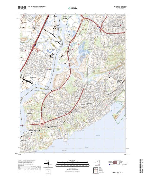
Current Brooklyn GeoPDF Map |
1947 Map No. 123124, 1956 Map No. 123127, 1956 Map No. 123128, 1967 Map No. 123129, 1967 Map No. 123130, 1967 Map No. 123131, 1967 Map No. 123132, 1995 Map No. 137132 | NA | Brooklyn borough (47%), Manhattan borough (18%), Queens borough (10%) |
Current Central Park GeoPDF Map |
1947 Map No. 122894, 1956 Map No. 122895, 1956 Map No. 122896, 1966 Map No. 122897, 1966 Map No. 122898, 1966 Map No. 122899, 1966 Map No. 122900, 1995 Map No. 137165 | Bronx River Trail | Bronx borough (31%), Manhattan borough (68%), Queens borough (7%) |
Current Jersey City GeoPDF Map |
NA | NA | Brooklyn borough (7%), Manhattan borough (12%), Staten Island borough (7%) |
| PDF (50-60 MB Download) | Historical USGS Topo Maps | State Lands (Links to DEC Website) | Towns (Percent of Town’s Area) |
|---|---|---|---|
Current Akron GeoPDF Map |
1949 Map No. 136539, 1951 Map No. 136540, 1951 Map No. 710097 | Onondaga Escarpment Unique Area, John White WMA, Tonawanda WMA | Alabama (46%), Newstead (17%), Pembroke (24%), Royalton (6%), Tonawanda Reservation (100%), Tonawanda Reservation (100%), Tonawanda Reservation (100%) |
Current Barker GeoPDF Map |
1949 Map No. 123175, 1965 Map No. 123176 | Hartland Swamp WMA | Hartland (45%), Somerset (73%) |
Current Cambria GeoPDF Map |
1949 Map No. 123146, 1965 Map No. 123148 | NA | Cambria (92%), Lockport (3%), Newfane (1%), Pendleton (8%), Wheatfield (5%), Wilson (25%) |
Current Clarence Center GeoPDF Map |
1950 Map No. 137625, 1950 Map No. 137626, 1965 Map No. 137627 | Great Baehre Swamp WMA | Amherst (28%), Clarence (41%), Lockport (21%), Pendleton (29%) |
Current Fort Niagara GeoPDF Map |
NA | NA | Porter (13%) |
Current Gasport GeoPDF Map |
1950 Map No. 129475, 1965 Map No. 129476 | NA | Hartland (27%), Lockport (4%), Royalton (55%) |
Current Lewiston GeoPDF Map |
1950 Map No. 130254, 1965 Map No. 130255 | NA | Lewiston (37%), Niagara Falls city (3%), Niagara (10%), Porter (17%) |
Current Lockport GeoPDF Map |
1950 Map No. 130317, 1965 Map No. 130318 | NA | Hartland (2%), Lockport city (100%), Lockport (69%), Newfane (24%), Pendleton (5%) |
Current Lyndonville GeoPDF Map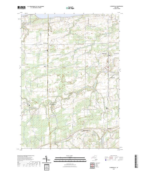 |
1951 Map No. 130384, 1951 Map No. 130385 | NA | Hartland (13%), Ridgeway (34%), Somerset (22%), Yates (59%) |
Current Medina GeoPDF Map |
1949 Map No. 130524, 1951 Map No. 130527 | Tonawanda WMA | Alabama (4%), Hartland (9%), Ridgeway (20%), Royalton (16%), Shelby (58%) |
Current Newfane GeoPDF Map |
1950 Map No. 130845, 1965 Map No. 130846 | NA | Hartland (4%), Newfane (73%), Somerset (5%) |
Current Niagara Falls GeoPDF Map |
1949 Map No. 128711, 1965 Map No. 128712 | NA | Grand Island (9%), Niagara Falls city (67%), Niagara (10%) |
Current Ransomville GeoPDF Map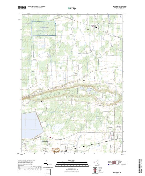 |
1950 Map No. 136015, 1965 Map No. 136016 | NA | Cambria (8%), Lewiston (63%), Niagara (15%), Porter (31%), Tuscarora Nation Reservation (100%), Wheatfield (6%), Wilson (5%) |
Current Sixmile Creek GeoPDF Map |
1949 Map No. 136173, 1965 Map No. 136174, 1973 Map No. 136175 | NA | Porter (38%), Wilson (10%) |
Current Tonawanda East GeoPDF Map |
1950 Map No. 139339, 1950 Map No. 139340, 1965 Map No. 139341, 1980 Map No. 139342 | NA | Amherst (31%), North Tonawanda city (64%), Pendleton (57%), Tonawanda city (41%), Tonawanda (13%), Wheatfield (39%) |
Current Tonawanda West GeoPDF Map |
1948 Map No. 139343, 1948 Map No. 139344, 1950 Map No. 139345, 1965 Map No. 139347 | Spicer Creek WMA | Grand Island (66%), Niagara Falls city (30%), Niagara (65%), North Tonawanda city (36%), Tonawanda city (57%), Tonawanda (3%), Wheatfield (51%) |
Current Wilson GeoPDF Map |
1949 Map No. 140342, 1965 Map No. 140343 | NA | Newfane (3%), Wilson (60%) |
Current Wolcottsville GeoPDF Map |
1950 Map No. 140363, 1965 Map No. 140364 | Tonawanda WMA, Tonawanda Creek Fishing Access | Clarence (25%), Lockport (2%), Newstead (47%), Royalton (23%) |
Counties: Albany to Delaware / Dutchess to Livingston / Madison to Otsego / Putnam to Suffolk / Sullivan to Yates
Browse Topographic Maps: Full State / Historical USGS Topographic Maps
Most of the largest cities and towns in each county is well known, and in many cases it is the county seat. Starred towns in Italic are county seats.
| County – Largest Municipality | Population |
| Albany County – Albany city* | 97,279 |
| Allegany County – Wellsville town | 6,974 |
| Broome County – Union town | 53,251 |
| Cattaraugus County – Olean city | 13,597 |
| Cayuga County – Auburn city* | 26,454 |
| Chautauqua County – Jamestown city | 29,315 |
| Chenango County – Norwich city* | 6644 |
| Chemung County – Elmira city* | 27,204 |
| Clinton County – Plattsburgh city* | 19,438 |
| Columbia County – Kinderhook town | 8,215 |
| Cortland County – Cortland city* | 18,713 |
| Delaware County – Sidney town | 5,367 |
| Dutchess County – Poughkeepsie town | 44,035 |
| Erie County – Buffalo city* | 256,304 |
| Essex County – North Elba town | 8,094 |
| Franklin County – Malone town* | 14,139 |
| Fulton County – Gloversville city | 14,832 |
| Genesee County – Batavia city* | 14,491 |
| Greene County – Catskill town* | 11,364 |
| Hamilton County – Indian Lake town | 1,245 |
| Herkimer County – German Flatts town | 12,547 |
| Jefferson County – Watertown city | 25,290 |
| Lewis County – Lowville town* | 4,840 |
| Livingston County – Geneseo town* | 10,691 |
| Madison County – Sullivan town | 15,149 |
| Monroe County – Rochester city* | 206,284 |
| Montgomery County – Amsterdam city | 17,864 |
| Nassau County – Hempstead town | 768,103 |
| Niagara County – Niagara Falls city* | 48,144 |
| Oneida County – Utica city* | 60,100 |
| Onondaga County – Syracuse city* | 142,749 |
| Ontario County – Victor town | 15,069 |
| Orange County – Warwick town | 31,185 |
| Orleans County – Albion town* | 8,138 |
| Oswego County – Oswego city* | 17,337 |
| Otsego County – Oneonta city | 13,918 |
| Putnam County – Carmel town* | 34,245 |
| Rensselaer County – Troy city* | 49,374 |
| Rockland County – Ramapo town | 136,848 |
| Saratoga County – Clifton Park town | 36,566 |
| Schenectady County – Schenectady city* | 65,575 |
| Schoharie County – Cobleskill town | 6,239 |
| Schuyler County – Hector town | 4,933 |
| Seneca County – Seneca Falls town | 8,680 |
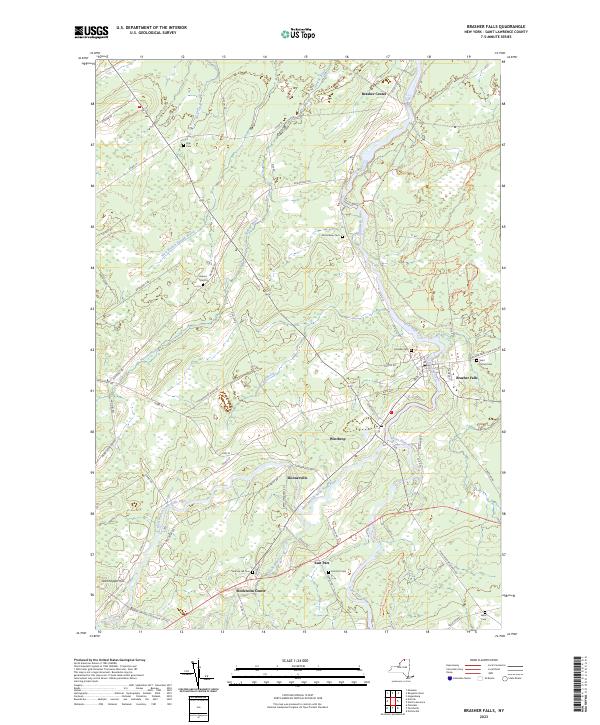
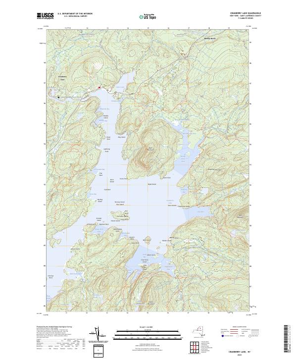
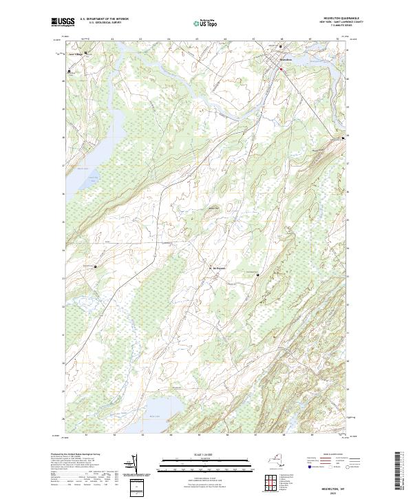
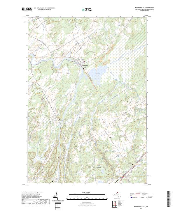
| St. Lawrence County – Potsdam town | 15,322 |
| Steuben County – Bath town | 11,938 |
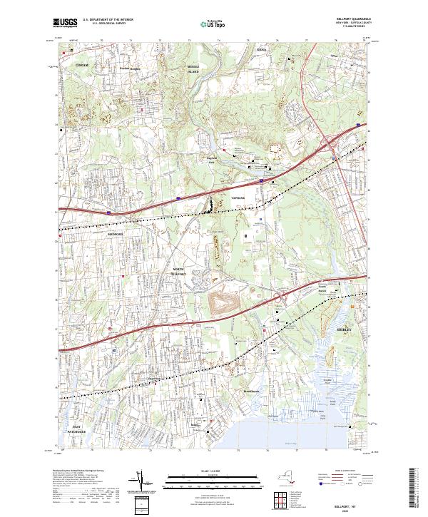
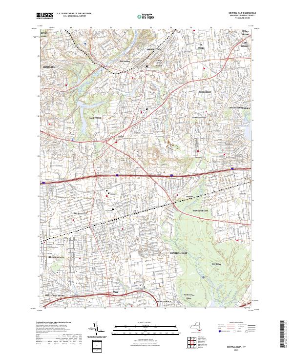
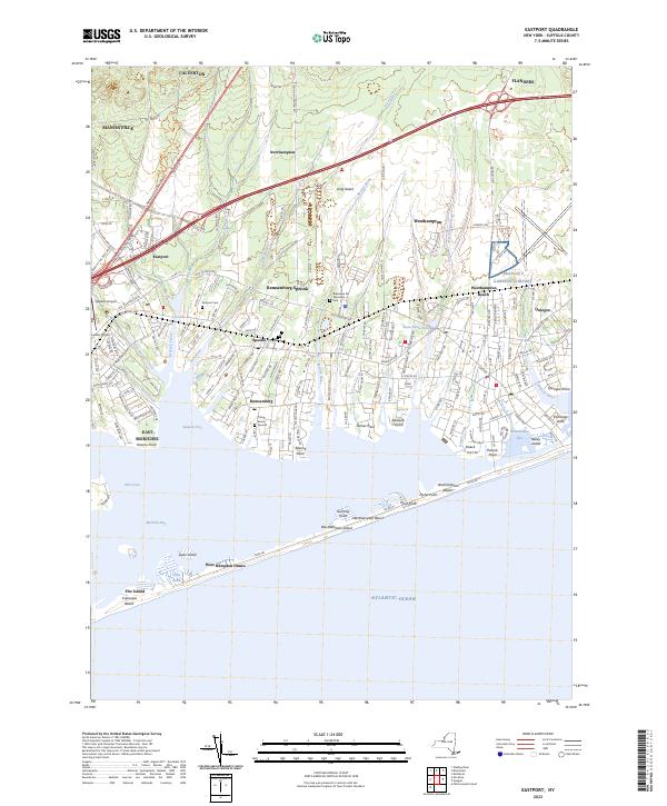
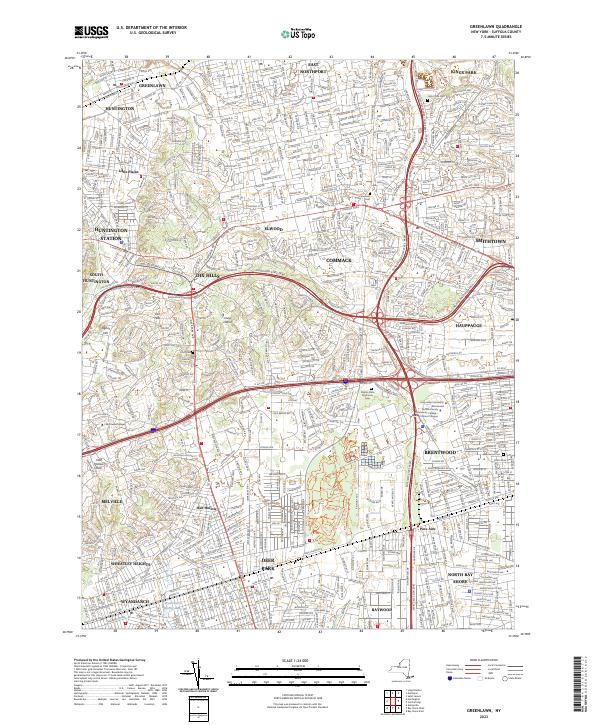
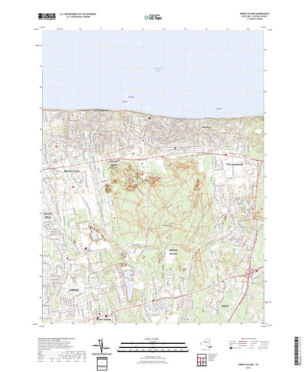
| Suffolk County – Brookhaven town | 482,436 |
| Sullivan County – Thompson town | 15,019 |
| Tioga County – Owego town* | 18,843 |
| Tompkins County – Ithaca city* | 30,999 |
| Ulster County – Kingston city* | 22,950 |
| Warren County – Queensbury town* | 27,471 |
| Washington County – Kingsbury town | 12,346 |
| Wayne County – Arcadia town | 13,564 |
| Westchester County – Yonkers city | 199,663 |
| Wyoming County – Attica town | 7,021 |
| Yates County – Milo town | 6,811 |