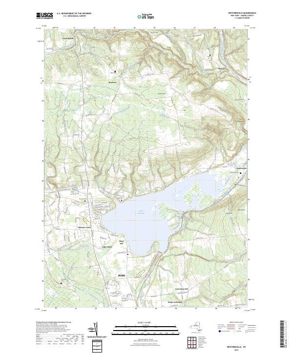
Counties: Albany to Delaware / Dutchess to Livingston / Madison to Otsego / Putnam to Suffolk / Sullivan to Yates
Browse Topographic Maps: Full State / Historical USGS Topographic Maps
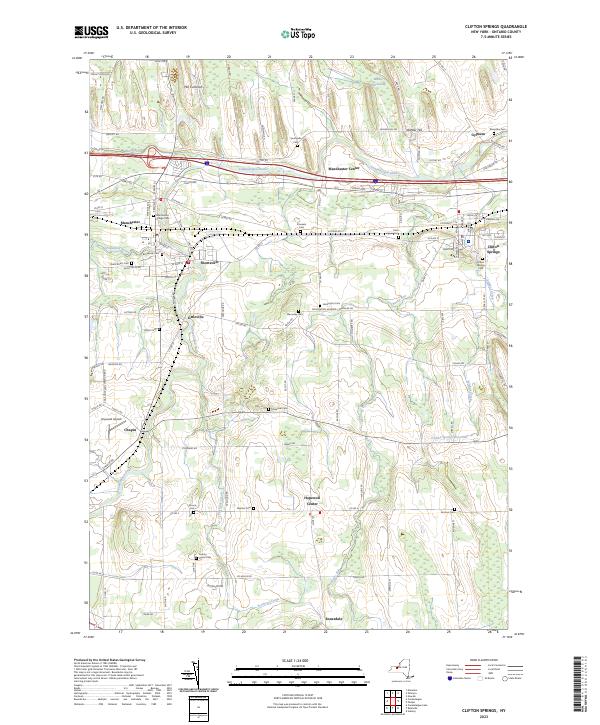
Counties: Albany to Delaware / Dutchess to Livingston / Madison to Otsego / Putnam to Suffolk / Sullivan to Yates
Browse Topographic Maps: Full State / Historical USGS Topographic Maps
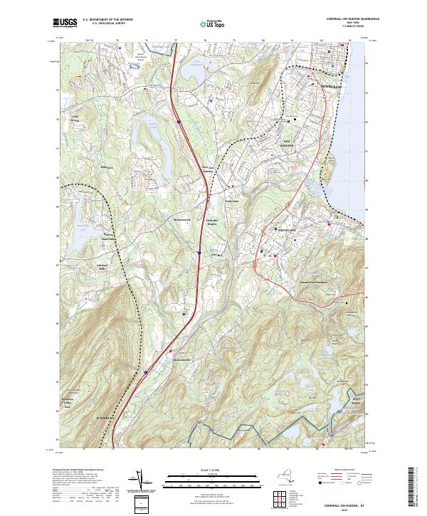
Counties: Albany to Delaware / Dutchess to Livingston / Madison to Otsego / Putnam to Suffolk / Sullivan to Yates
Browse Topographic Maps: Full State / Historical USGS Topographic Maps
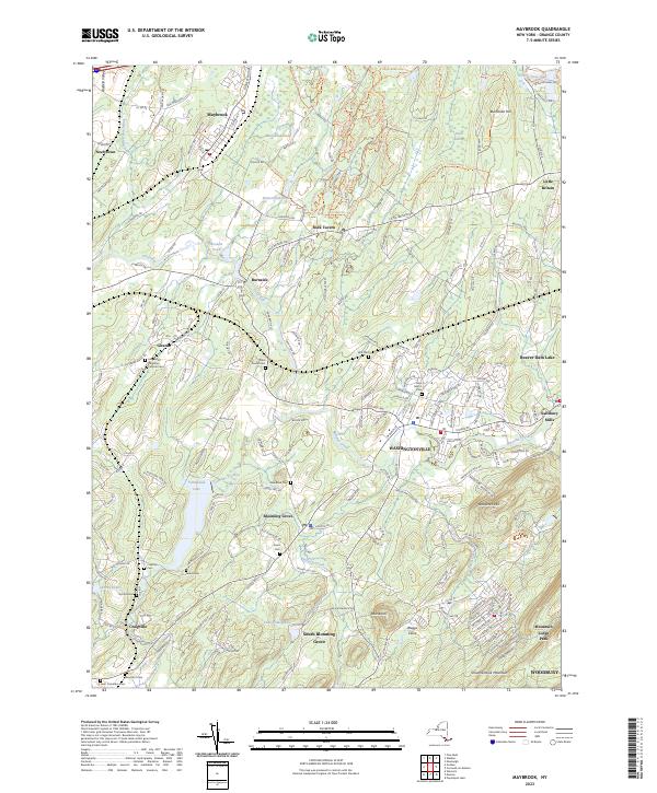
Counties: Albany to Delaware / Dutchess to Livingston / Madison to Otsego / Putnam to Suffolk / Sullivan to Yates
Browse Topographic Maps: Full State / Historical USGS Topographic Maps
| PDF (50-60 MB Download) | Historical USGS Topo Maps | State Lands (Links to DEC Website) | Towns (Percent of Town’s Area) |
|---|---|---|---|
Current Amsterdam GeoPDF Map |
1954 Map No. 136622, 1954 Map No. 136623, 1954 Map No. 136624, 1954 Map No. 137071 | NA | Amsterdam city (100%), Amsterdam (56%), Duanesburg (0%), Florida (47%), Perth (28%), Princetown (0%) |
Current Canajoharie GeoPDF Map |
1944 Map No. 123405, 1944 Map No. 123406 | NA | Canajoharie (28%), Ephratah (9%), Minden (1%), Palatine (84%), Root (3%), St. Johnsville (9%) |
Current Carlisle GeoPDF Map |
1943 Map No. 122809, 1943 Map No. 122810 | Rural Grove State Forest, Yatesville Falls State Forest | Carlisle (36%), Charleston (28%), Glen (5%), Root (56%) |
Current Duanesburg GeoPDF Map |
1954 Map No. 137906, 1954 Map No. 137907, 1954 Map No. 137909 | Featherstonhaugh State Forest | Duanesburg (59%), Esperance (0%), Florida (24%) |
Current East Springfield GeoPDF Map |
1943 Map No. 138023, 1943 Map No. 138024 | NA | Cherry Valley (34%), Middlefield (19%), Minden (1%), Otsego (0%), Roseboom (4%), Springfield (57%), Stark (3%) |
Current Esperance GeoPDF Map |
1943 Map No. 138118, 1943 Map No. 138120 | Lost Valley State Forest, Charleston State Forest | Carlisle (9%), Charleston (72%), Duanesburg (3%), Esperance (54%), Florida (7%), Glen (11%) |
Current Fort Plain GeoPDF Map |
1944 Map No. 138157, 1944 Map No. 138280 | NA | Canajoharie (9%), Danube (4%), Manheim (0%), Minden (87%), Palatine (2%), St. Johnsville (25%) |
Current Oppenheim GeoPDF Map |
1945 Map No. 128927, 1945 Map No. 128928 | Fulton FP Detached Parcel, Lassellsville State Forest, Ferris Lake Wild Forest | Danube (0%), Manheim (3%), Oppenheim (75%), Salisbury (0%), St. Johnsville (62%), Stratford (1%) |
Current Pattersonville GeoPDF Map |
1954 Map No. 135974, 1954 Map No. 135975 | NA | Amsterdam (30%), Charlton (37%), Duanesburg (0%), Florida (5%), Galway (13%), Glenville (40%), Perth (6%), Princetown (7%), Rotterdam (5%) |
Current Randall GeoPDF Map |
1944 Map No. 136007, 1944 Map No. 136008, 1944 Map No. 136009 | Yatesville Falls State Forest | Ephratah (1%), Glen (28%), Johnstown city (27%), Johnstown (7%), Mohawk (62%), Palatine (14%), Root (18%) |
Current Sharon Springs GeoPDF Map |
1943 Map No. 136148, 1943 Map No. 136149, 1943 Map No. 136150 | NA | Canajoharie (39%), Carlisle (8%), Root (23%), Seward (0%), Sharon (61%) |
Current Sprout Brook GeoPDF Map |
1943 Map No. 136932, 1943 Map No. 139853, 1943 Map No. 139854 | Cherry Valley State Forest, Honey Hill State Forest | Canajoharie (24%), Cherry Valley (66%), Minden (9%), Roseboom (9%), Sharon (26%) |
Current Tribes Hill GeoPDF Map |
1944 Map No. 139361, 1944 Map No. 139363 | NA | Amsterdam (13%), Florida (17%), Glen (56%), Johnstown city (8%), Johnstown (6%), Mohawk (38%), Perth (8%) |
Current Van Hornesville GeoPDF Map |
1943 Map No. 139474, 1943 Map No. 139475 | Otsquago State Forest, Ohisa State Forest, Van Hornesville Fish Hatchery | Danube (69%), Little Falls (7%), Minden (2%), Springfield (6%), Stark (90%), Warren (0%) |
| PDF (50-60 MB Download) | Historical USGS Topo Maps | State Lands (Links to DEC Website) | Towns (Percent of Town’s Area) |
|---|---|---|---|
Current Brooklyn GeoPDF Map |
1947 Map No. 123124, 1956 Map No. 123127, 1956 Map No. 123128, 1967 Map No. 123129, 1967 Map No. 123130, 1967 Map No. 123131, 1967 Map No. 123132, 1995 Map No. 137132 | NA | Brooklyn borough (47%), Manhattan borough (18%), Queens borough (10%) |
Current Central Park GeoPDF Map |
1947 Map No. 122894, 1956 Map No. 122895, 1956 Map No. 122896, 1966 Map No. 122897, 1966 Map No. 122898, 1966 Map No. 122899, 1966 Map No. 122900, 1995 Map No. 137165 | Bronx River Trail | Bronx borough (31%), Manhattan borough (68%), Queens borough (7%) |
Current Jersey City GeoPDF Map |
NA | NA | Brooklyn borough (7%), Manhattan borough (12%), Staten Island borough (7%) |
| PDF (50-60 MB Download) | Historical USGS Topo Maps | State Lands (Links to DEC Website) | Towns (Percent of Town’s Area) |
|---|---|---|---|
Current Akron GeoPDF Map |
1949 Map No. 136539, 1951 Map No. 136540, 1951 Map No. 710097 | Onondaga Escarpment Unique Area, John White WMA, Tonawanda WMA | Alabama (46%), Newstead (17%), Pembroke (24%), Royalton (6%), Tonawanda Reservation (100%), Tonawanda Reservation (100%), Tonawanda Reservation (100%) |
Current Barker GeoPDF Map |
1949 Map No. 123175, 1965 Map No. 123176 | Hartland Swamp WMA | Hartland (45%), Somerset (73%) |
Current Cambria GeoPDF Map |
1949 Map No. 123146, 1965 Map No. 123148 | NA | Cambria (92%), Lockport (3%), Newfane (1%), Pendleton (8%), Wheatfield (5%), Wilson (25%) |
Current Clarence Center GeoPDF Map |
1950 Map No. 137625, 1950 Map No. 137626, 1965 Map No. 137627 | Great Baehre Swamp WMA | Amherst (28%), Clarence (41%), Lockport (21%), Pendleton (29%) |
Current Fort Niagara GeoPDF Map |
NA | NA | Porter (13%) |
Current Gasport GeoPDF Map |
1950 Map No. 129475, 1965 Map No. 129476 | NA | Hartland (27%), Lockport (4%), Royalton (55%) |
Current Lewiston GeoPDF Map |
1950 Map No. 130254, 1965 Map No. 130255 | NA | Lewiston (37%), Niagara Falls city (3%), Niagara (10%), Porter (17%) |
Current Lockport GeoPDF Map |
1950 Map No. 130317, 1965 Map No. 130318 | NA | Hartland (2%), Lockport city (100%), Lockport (69%), Newfane (24%), Pendleton (5%) |
Current Lyndonville GeoPDF Map |
1951 Map No. 130384, 1951 Map No. 130385 | NA | Hartland (13%), Ridgeway (34%), Somerset (22%), Yates (59%) |
Current Medina GeoPDF Map |
1949 Map No. 130524, 1951 Map No. 130527 | Tonawanda WMA | Alabama (4%), Hartland (9%), Ridgeway (20%), Royalton (16%), Shelby (58%) |
Current Newfane GeoPDF Map |
1950 Map No. 130845, 1965 Map No. 130846 | NA | Hartland (4%), Newfane (73%), Somerset (5%) |
Current Niagara Falls GeoPDF Map |
1949 Map No. 128711, 1965 Map No. 128712 | NA | Grand Island (9%), Niagara Falls city (67%), Niagara (10%) |
Current Ransomville GeoPDF Map |
1950 Map No. 136015, 1965 Map No. 136016 | NA | Cambria (8%), Lewiston (63%), Niagara (15%), Porter (31%), Tuscarora Nation Reservation (100%), Wheatfield (6%), Wilson (5%) |
Current Sixmile Creek GeoPDF Map |
1949 Map No. 136173, 1965 Map No. 136174, 1973 Map No. 136175 | NA | Porter (38%), Wilson (10%) |
Current Tonawanda East GeoPDF Map |
1950 Map No. 139339, 1950 Map No. 139340, 1965 Map No. 139341, 1980 Map No. 139342 | NA | Amherst (31%), North Tonawanda city (64%), Pendleton (57%), Tonawanda city (41%), Tonawanda (13%), Wheatfield (39%) |
Current Tonawanda West GeoPDF Map |
1948 Map No. 139343, 1948 Map No. 139344, 1950 Map No. 139345, 1965 Map No. 139347 | Spicer Creek WMA | Grand Island (66%), Niagara Falls city (30%), Niagara (65%), North Tonawanda city (36%), Tonawanda city (57%), Tonawanda (3%), Wheatfield (51%) |
Current Wilson GeoPDF Map |
1949 Map No. 140342, 1965 Map No. 140343 | NA | Newfane (3%), Wilson (60%) |
Current Wolcottsville GeoPDF Map |
1950 Map No. 140363, 1965 Map No. 140364 | Tonawanda WMA, Tonawanda Creek Fishing Access | Clarence (25%), Lockport (2%), Newstead (47%), Royalton (23%) |
Good morning! Cloudy and 36 degrees at the Moscow Hill Camping Area. 🌥 There is a south-southwest breeze at 9 mph. 🍃. Temperatures will drop below freezing at around 5 pm. ☃️
The past few days I’ve decided to take a break from social media and the blog 📜 so I can spend more time in the woods hiking and thinking, 👂 listening to podcasts and drinking 🍻 beer and being away from it all. Two nights is never enough, especially since I got used to remote work from camp. I could have taken tomorrow off but rain is coming.
I was on the fence about where to this long weekend ⛺ but settled on Brookfield as there was more trails I wanted to explore and the forecast while cloudy for Sunday and today looked less wet. I had been at Rennselearville State Forest three weekends ago and wanted to mix things up especially so I didn’t burn up too much firewood. Plus I like the rural landscape 🚜 heading out to Brookfield. Longer drive though but a pleasant one.
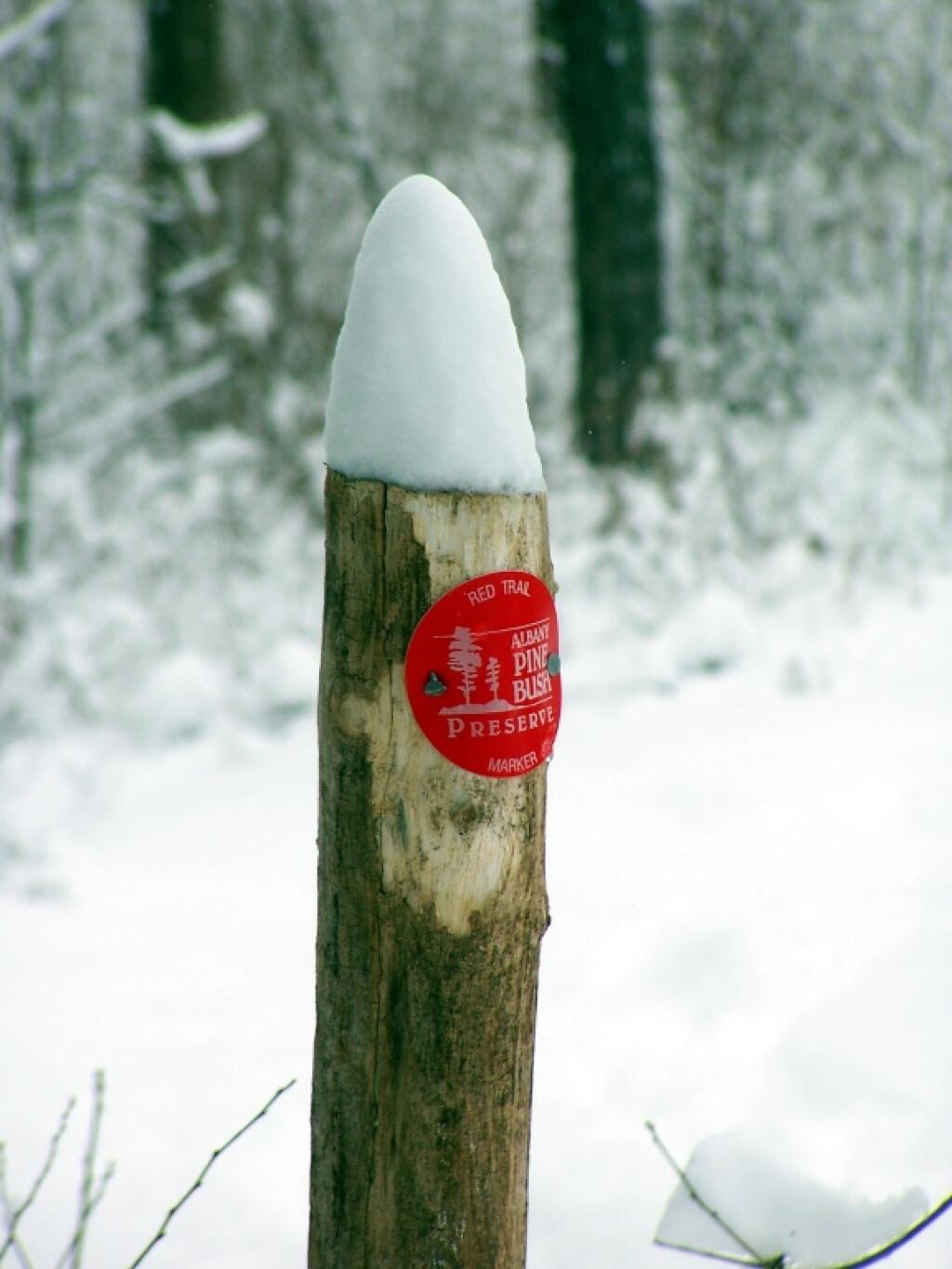
Saturday I walked around Glimmerglass State Park 🏞 and it was cold by the lake but in the woods with the wind 🍃 blocked by the mountains it wasn’t so bad. I didn’t stick around very long as such. Deep blue skies and a pretty sunset 🌇. Got to Moscow Hill Horse Camp 🐴 and set up camp then hiked over to Elmer’s Place and then bushwhacked over Grassy Hill trying to find a good view which didn’t exist but I did flush out a ton of grouse. 🕊
By the time I got back to camp it was 6:10 and nearly pitch black but I had previously gathered firewood, set up the lights and propane, 🏮 had everything ready to go so it was a pleasant night. Had a big fire 🔥 though it was smokey at times due to all the wet wood, wet stuff in the burnables as I’ve been eating healthier. Heard a local fire station whistle go of 🚒🧑🚒 and thought I might have some unplanned visitors but no it was some other call. This place isn’t as remote as some places I camp. ⛺ Forgot to buy lighter fluid but once I got the somewhat damp and frozen wood going it burned well but was sparky until the wind died out. Saturday was a star filled night ✨ and very mild which was nice.
Sunday was cloudy and breezy at times 🌬️ especially up on the hills. I hiked the bulk of the day, visiting most of the outer truck trails at Charles Baker State Forest 🌲🌳🌲 as I didn’t want to hike muddy horse trails. Checked out the Elmer Spring Campsite which is remote but accessible by vehicle and is really nice and private. ⛺ Hiked the Ledges Trail which was kind of interesting as was Truck Trail 7 which is cut into a ledge on the side of the mountain ⛰️. Icy in spots especially on the road but cold enough even the horse 🐴 trails weren’t too icy.
For today, Washington’s Birthday will have showers likely, mainly before 11am. Cloudy 🌦, with a high of 40 degrees at 11am. Three degrees above normal, which is similar to a typical day around February 28th. Not bad for the high country in in. Just wearing the vest. Southwest wind 9 to 13 mph becoming northwest in the afternoon. Chance of precipitation is 60%. New precipitation amounts of less than a tenth of an inch possible. A year ago, we had partly cloudy skies in the morning, remaining cloudy in the afternoon. The high last year was 28 degrees. The record high of 66 was set in 1930. 11.2 inches of snow fell back in 1977.❄
While it hasn’t been sunny ☁️ the mid weather has been nice. Not having to deal with frozen water 💦, frozen food like milk 🥛 or eggs 🥚 is good for a change. The batteries are healthy and happy 😊 in my truck 🔋, I haven’t had to start the truck all weekend long. Used the propane heater ♨ a lot less than I have in recent trips, no icy propane lines to deal with. But it’s been cold enough that things have remained generally frozen in the ground, keeping the trails from being too muddy.
Solar noon 🌞 is at 12:16 pm with sun having an altitude of 36.2° from the due south horizon (-34.4° vs. 6/21). A six foot person will cast a 8.2 foot shadow today compared to 2.2 feet on the first day of summer. The golden hour 🏅 starts at 5:01 pm with the sun in the west-southwest (249°). 📸 The sunset is in the west-southwest (256°) with the sun dropping below the horizon at 5:40 pm after setting for 3 minutes with dusk around 6:07 pm, which is one minute and 17 seconds later than yesterday. 🌇 At dusk you’ll see the Waxing Crescent 🌒 Moon in the west-southwest (253°) at an altitude of 2° from the horizon, 228,419 miles away. 🚀 The best time to look at the stars is after 6:41 pm. At sunset, look for mostly cloudy skies ☁ and temperatures around 34 degrees. There will be a west-northwest breeze at 10 mph. Today will have 10 hours and 50 minutes of daytime, an increase of 2 minutes and 47 seconds over yesterday.
Today I decided to hike back and explore a few more ponds 🐸 in the northern part of the state forest. Then midday head back home. I figure enjoy and explore as much of the land while I’m here. Then I’ll have to head home. I thought about taking Tuesday off but it looks like rain ☔ and maybe snow here.
Tonight will have a slight chance of snow showers after 4am. Mostly cloudy 🌧, with a low of 23 degrees at 2am. Four degrees above normal, which is similar to a typical night around March 5th. Maximum wind chill around 17 at 4am; Northwest wind 5 to 8 mph becoming calm. Chance of precipitation is 20%. In 2022, we had mostly clear skies in the evening, which became mostly clear by the early hours of the morning. It got down to 13 degrees. The record low of -10 occurred back in 2015.
Planning to go out and see the folks 👪 when I get home, that is after showering 🚿 and unpacking. Then I want to run to the car wash 🚙 and then Walmart for fruit and vegetables for the upcoming week. 🍏
Brookfield looks cold and snowy for next weekend. 🌨 But I got my fun in. Saturday, a chance of snow. Mostly cloudy, with a high near 25. Chance of precipitation is 40%. Sunday, a chance of snow. Mostly cloudy, with a high near 34. Breezy. Chance of precipitation is 30%. Typical average high for the weekend is 39 degrees.
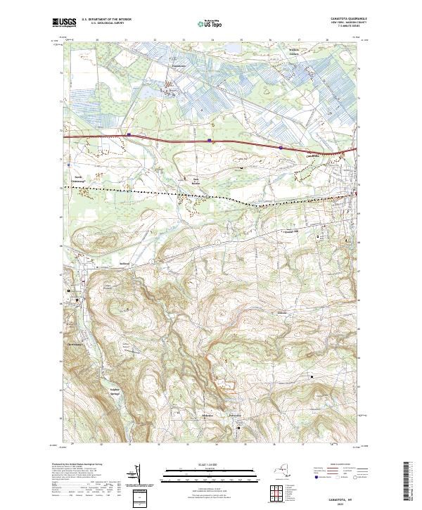
I don’t necessarily plan on being back to Brookfield anytime soon though I might do my April trip to Cazenovia rather than the Adirondacks East Branch Sacandaga River for a change. 🗻 Easter is late this year and depending on how mild the spring is things could be greening up by then. Probably few black flies up north 🐜 but I’ve been itching to do the Gorge Rail Trail is Cazenovia – Canestota for some time again. March maybe a camping trip ⛺ to Rennselearville State Forest again or Burnt Rossman. Depends on how much snow. It will be after the time change at this point.
Looking ahead, there are 7 weeks until 8 PM Dusk 🌆 when the sun will be setting at 7:39 pm with dusk at 8:06 pm (Daylight Savings Time) in Brookfield. Earlier back in Albany. On that day in 2022, we had partly cloudy, warm and temperatures between 74 and 49 degrees. Typically, the high temperature is 57 degrees. Thinking spring thoughts 💭 on this cloudy but mild morning. We hit a record high of 86 back in 1922.
The pioneers poured in from New England in droves after 1800 to settle this new land in upstate New York then known as the "Western Country," and one of the primary paths they followed was the Cherry Valley Turnpike.
This road, which is more than 200 years old, is today's Route 20 from Albany to Cazenovia, and Route 92 from there to Manlius. Here it connected with the south branch of the Seneca Turnpike.
Building such a lengthy road more than 70 miles long through the wilderness was a tremendous undertaking, requiring large sums of capital and manpower. Eventually, the promoters were able to secure both, but not without considerable effort and more than $100,000 in capital. The initial goal was to construct a highway from the old Revolutionary War frontier settlement of Cherry Valley, westward.
The Third Great Western Turnpike Company was chartered by the State of New York Legislature in 1803, and was organized on Nov. 16th of that year. The name was derived from the fact that the First Great Western Turnpike was from Albany to Duanesburg and the Second Great Western was from there to Cherry Valley. Eventually, this system of roads was nicknamed the Cherry Valley Turnpike.
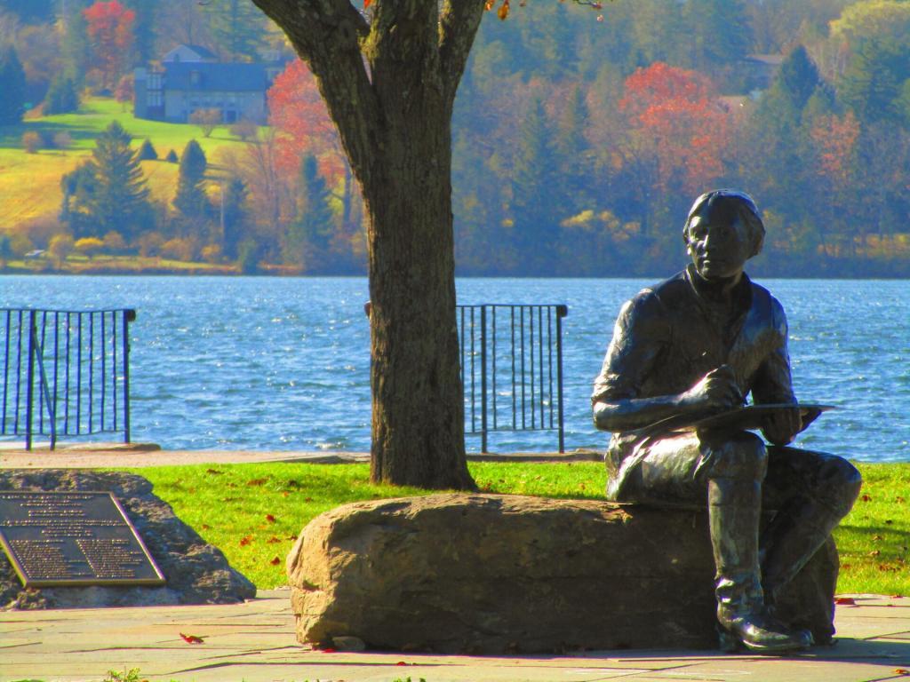
Down at Lakeside Park and Cazenovia Lake.
Taken on Friday November 6, 2020 at Cazenovia Lake.The sun is starting to rise and it’s kind of cool, I should have worn more layers for the walk today.
Mostly sunny 🌞 with fog around and 42 degrees in Delmar, NY. Calm wind.
Tomorrow at this time I should be on my way north ⛺ so I can get set up and down to remote work for the long weekend. Autumn is a bit late this year, I think the foliage will still be good.
First though tonight I need to return cans ♻ and get groceries for camp. My propane tank still is fairly full, it’s going to be a a fairly cool holiday weekend but should be good for hiking. I’m thinking about driving up Indian Lake and doing some hiking in the Essex Chain Lakes area. Probably though stay away from the crowds at the waterfalls. 👪
Finally got to the laundromat 👖 so I have clean jeans to wear for work. And clothes for camp. Big Red is runner well now, should be a good trip. With my work load I’m not sure how many more trips I will be able to do before November and the Cazenovia trip I’ve been planning.