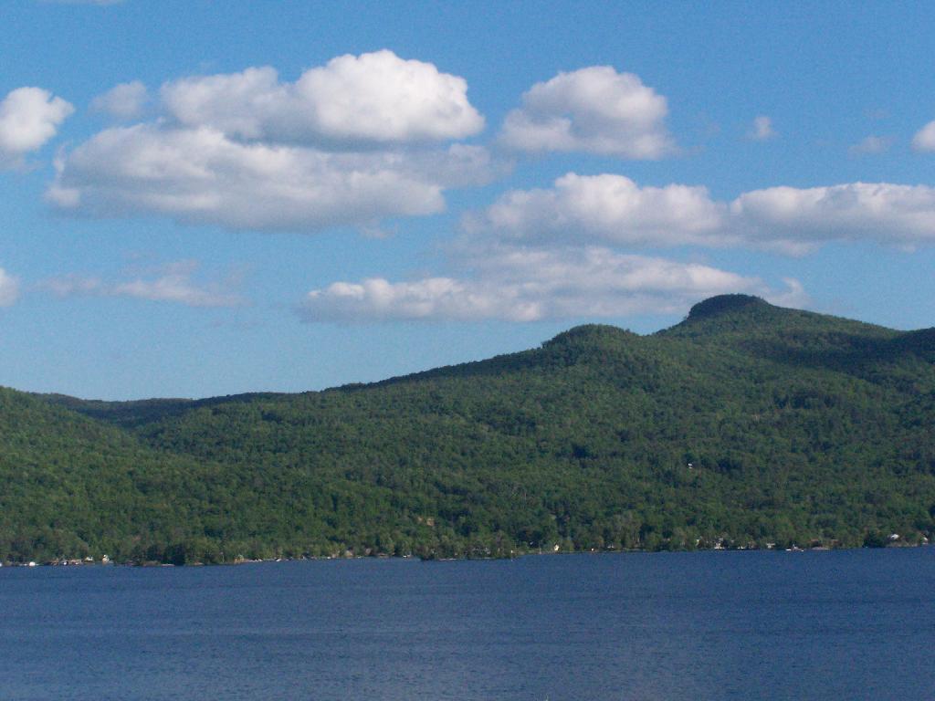
Spruce and Hogback Mountains
Taken off Route 9N as entering Sabbath Day Point near Deer Jump.
Saturday May 30, 2009 — Tongue Mountains — Five Mile Mountain And Deer Leep 🗺 — Tip Of Tongue Mountain 🗺— PDF with All Maps 📚
Taken off Route 9N as entering Sabbath Day Point near Deer Jump.
Saturday May 30, 2009 — Tongue Mountains — Five Mile Mountain And Deer Leep 🗺 — Tip Of Tongue Mountain 🗺— PDF with All Maps 📚


At Alder Pond.
Saturday May 15, 2010 — Balsam Lake Mountain Wild Forest — Alder Lake - Millbrook Range 🗺 — Alder Lake Campsites 🗺 — Balsam Lake Mountain Trail 🗺 — Kelly Hollow Trail 🗺 — Mongaup Hardenburg Trail 🗺— PDF with All Maps 📚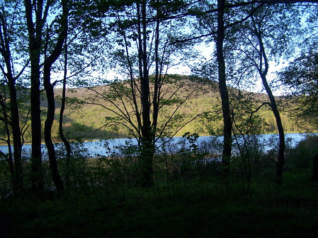


Lit all up for another black fly season. Unfortunately the wind picked up, knocked over my lantern and shattered that so it will be darker tonight as checking my truck I don't have an extra. As much as I don't like the bugs the tent is pretty when it's lit on up.
Thursday May 13, 2021 — Perkins Clearing and Speculator Tree Farm Conservation Easement Lands — Jessup River Road - Perkins Clearing - Campsites and Mason Lake Access 🗺 — Kunjamunk Cave 🗺 — Old Route 8B - Austin Falls - Robbs Creek - Camping 🗺— PDF with All Maps 📚
