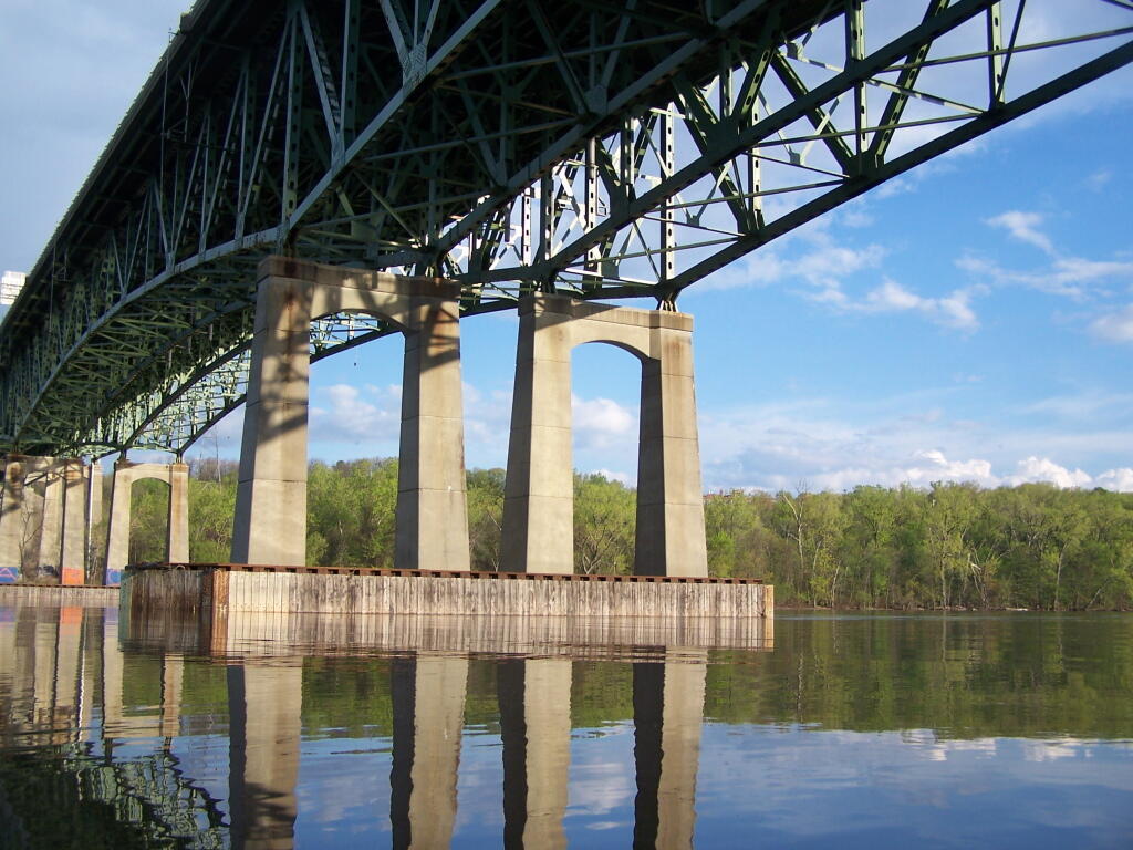
Heading Under Beautiful Patroon Island Bridge
The under-truss bridge is remarkably beautiful structure, largely under appreciated by the general public.
Saturday May 7, 2011 — Kayak the Hudson
The under-truss bridge is remarkably beautiful structure, largely under appreciated by the general public.
Saturday May 7, 2011 — Kayak the Hudson


Somewhere deep in that valley between South Hunter and Plateau Mountain.
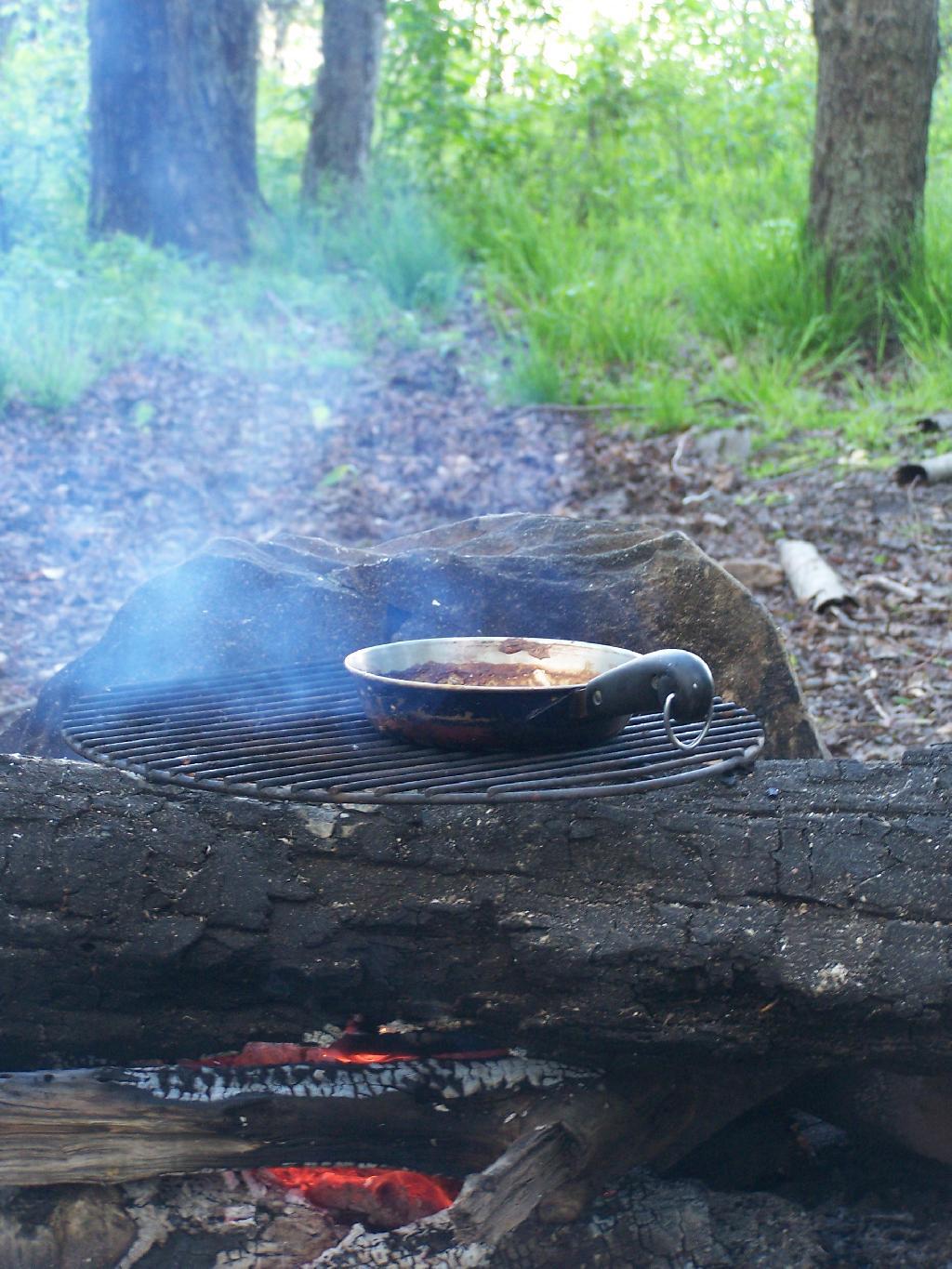
Saturday May 8, 2010 — Blackhead Mountain — Blackhead Loop (Big Hollow Road) 🗺 — Blackhead Mountain Trail 🗺— PDF with All Maps 📚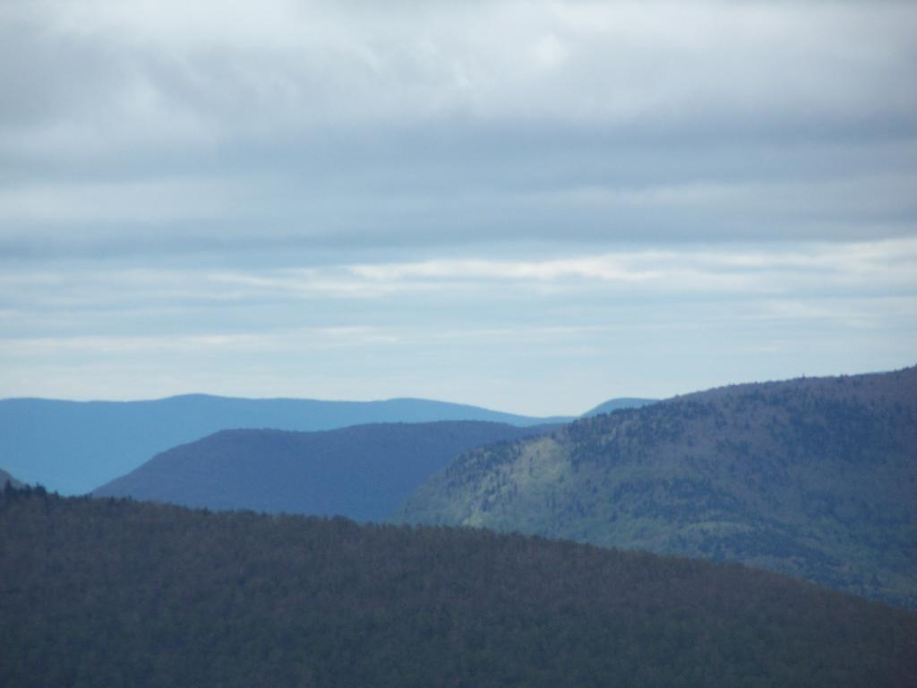


Not too bad of an afternoon the on the Hudson. Fairly sunny, and flat water. Much of the Hudson River between Albany and Troy is undeveloped, because when suburbia was creeping in during the 1950s and 1960s, the the Hudson River was not somewhere you would want to live near, much less kayak along.
Saturday May 7, 2011 — Kayak the Hudson
