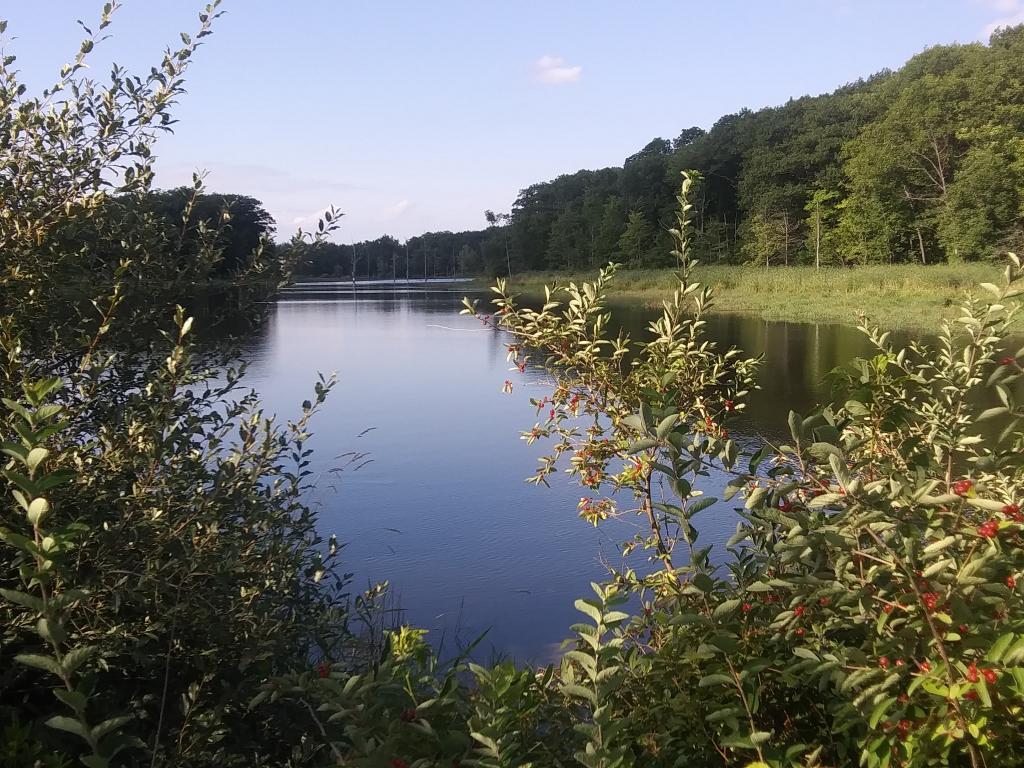
South Towards Montour Falls
A clear evening, looking south into the Catharine Valley from Rock Cabin Road, towards the grassier portion of the swamp that was once drained for muck farming and is probably still partially tiled.
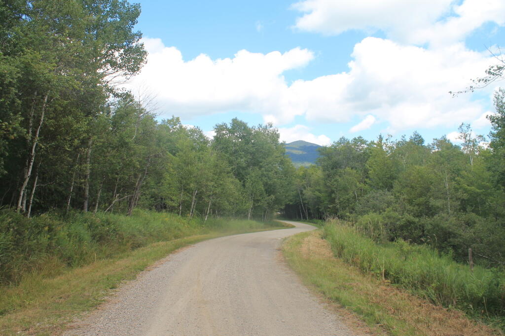
Friday July 30, 2021 — Notes — Alma Pond 🗺 — Dobbins Memorial State Forest 🗺 — Donahue Woods State Forest 🗺 — Little John Wildlife Management Area 🗺 — Otter Lake 🗺 — South Hill State Forest (Oneida 23) 🗺 — Summer Hill State Forest 🗺 — West Parishville State Forest 🗺— PDF with All Maps 📚