Some Sections Had Downed Trees
Towards the top of ridge on Woodstock Road, several of the trees were damaged by the heavy icing from Monday's storm.
Wednesday January 1, 2020 — Berne
Towards the top of ridge on Woodstock Road, several of the trees were damaged by the heavy icing from Monday's storm.
Wednesday January 1, 2020 — Berne

The hills gently flow into Glimmerglass, fading into the fog above.
Sunday December 29, 2019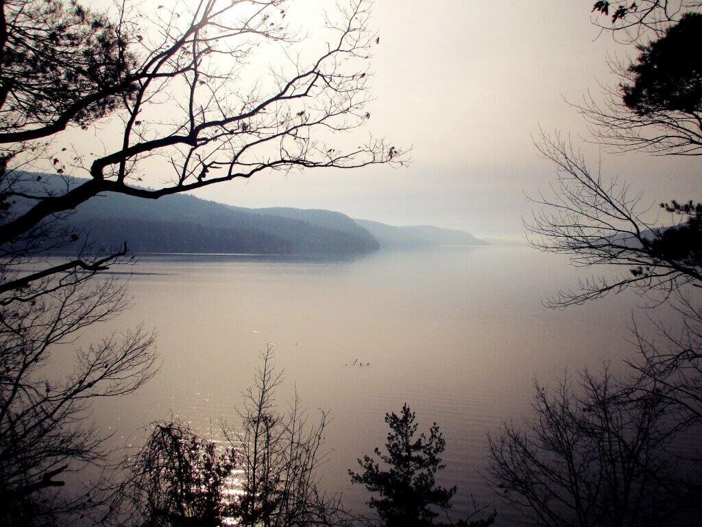

So much of Madison County just looked muddy.
Sunday December 29, 2019 — Brookfield, New York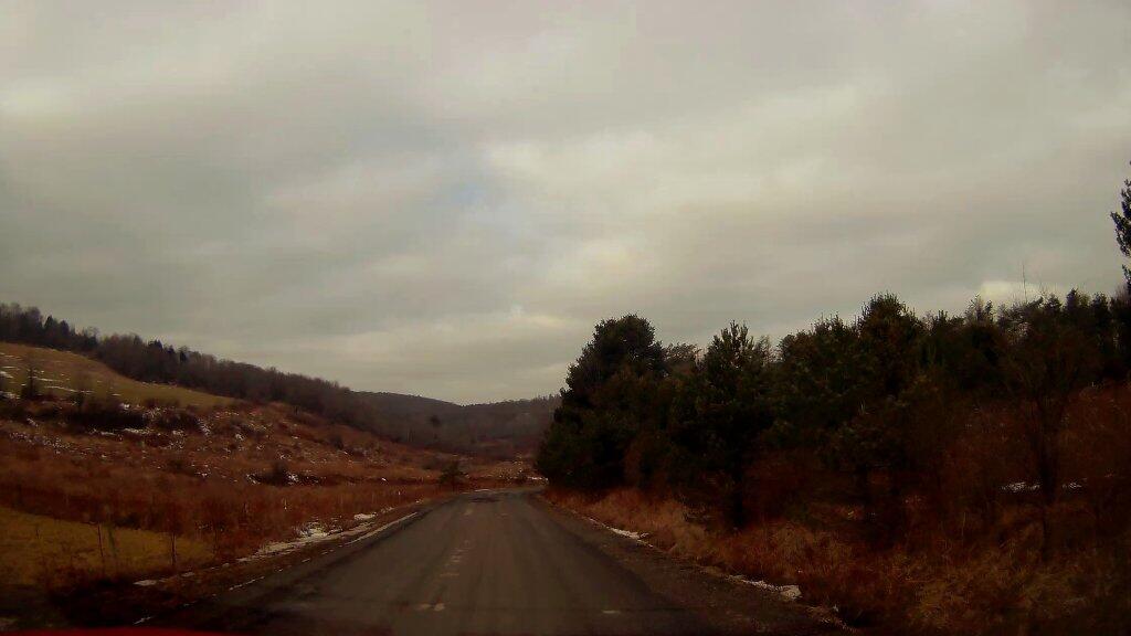

Semi-truck on NY 8 outside Unadilla Forks.
Sunday December 29, 2019 — Brookfield, New York

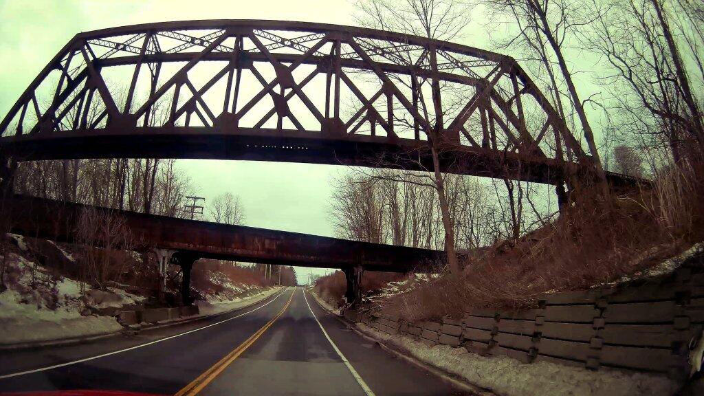
I've always been a bit fascinated by the railroad crossing over the railroad crossing located here over US 20. I am sure it won't last forever.
Monday December 30, 2019 — Notes — Alma Pond 🗺 — Dobbins Memorial State Forest 🗺 — Donahue Woods State Forest 🗺 — Little John Wildlife Management Area 🗺 — Otter Lake 🗺 — South Hill State Forest (Oneida 23) 🗺 — Summer Hill State Forest 🗺 — West Parishville State Forest 🗺— PDF with All Maps 📚