Game Farm Property in Berne
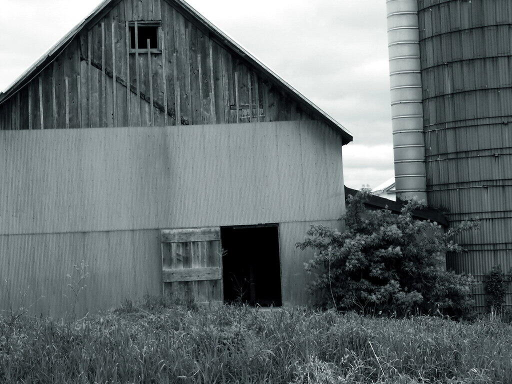
A quick drive up to the Town of Berne's newest town park, the Game Farm Property, which for a few years in the early 2000s was a Buddist Camp. There are no trails up there AFAIK, just a large community hall and buildings from when it was a hunting club and game farm.