Piseco-Powley Road Mile Points
About Piseco-Powley Road Mile Points ....
This interactive map shows the location of each mile point heading north up Piseco-Powley Road from Stratford in the Adirondacks. It's handy if you trying to locate a trail head or just want to know about how far roughly north things are along the road.
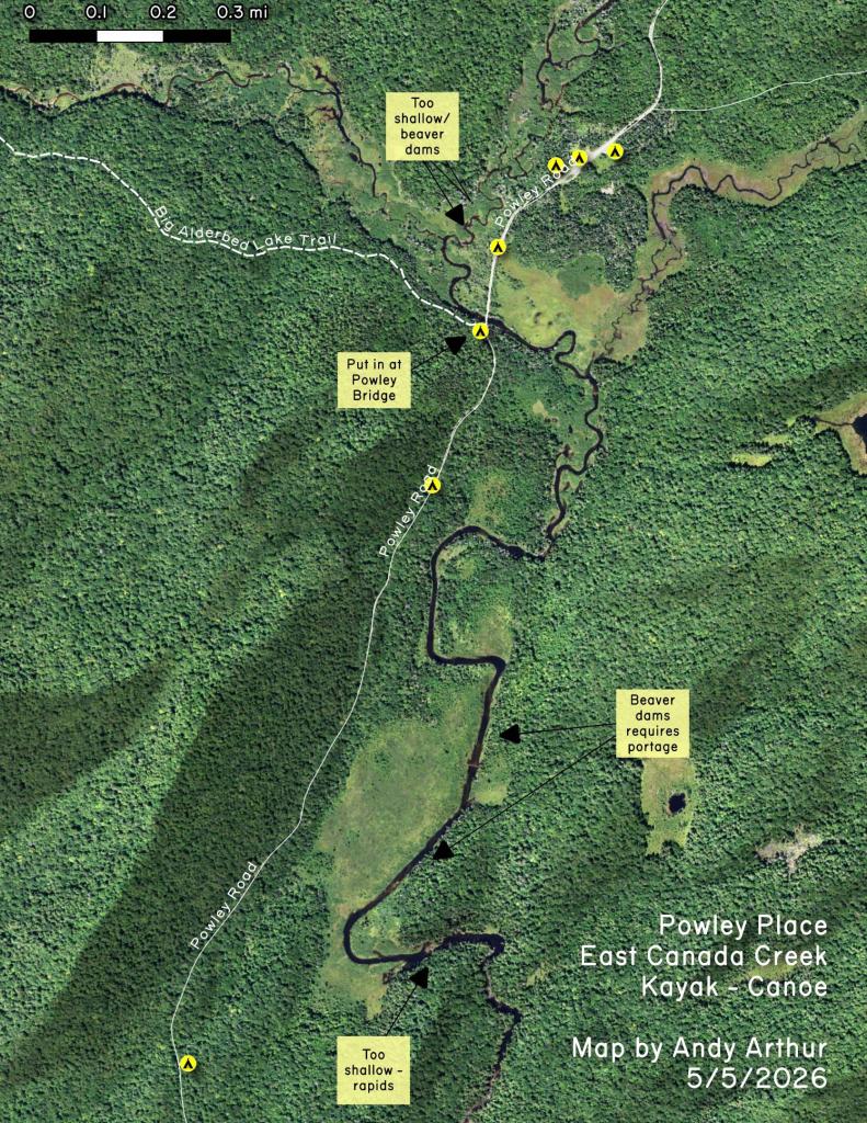
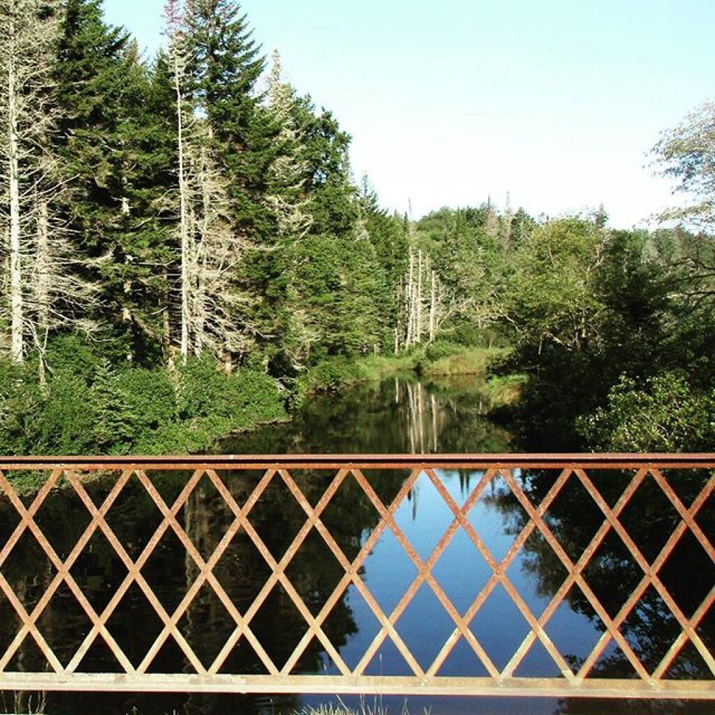
For example, I had no idea that the Lower Powley Bridge is 6 miles north of Stratford -- it always seems like a bit of a trip up that rough road, but it's good to keep in context. Powley Place is 11 miles north, and ultimately the road ends at NY 8 at 18.6 miles further north.

Helpful Hint: While I suggest you look on blog for a downloadable PDF Map, you should be able to print or save this map by clicking the print button on the map above.
Data Sources
Piseco-Powley Mile Points [Expires October 28 2023] - You can download the KMZ File used in creation of this map.
3DEP Elevation Hillshade. LIDAR and legacy USGS DRG Topo Derived hillshades used as a background. DEM - WMS Service: https://elevation.nationalmap.gov/arcgis/services/3DEPElevation/ImageServer/WMSServer, Layer: 3DEPElevation:Hillshade Gray
Full List of WMS and ArcMap Services - CSV Spreadsheet with all web map services currently used on the blog.
More about Piseco-Powley Road...
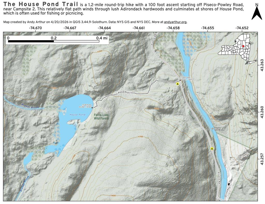
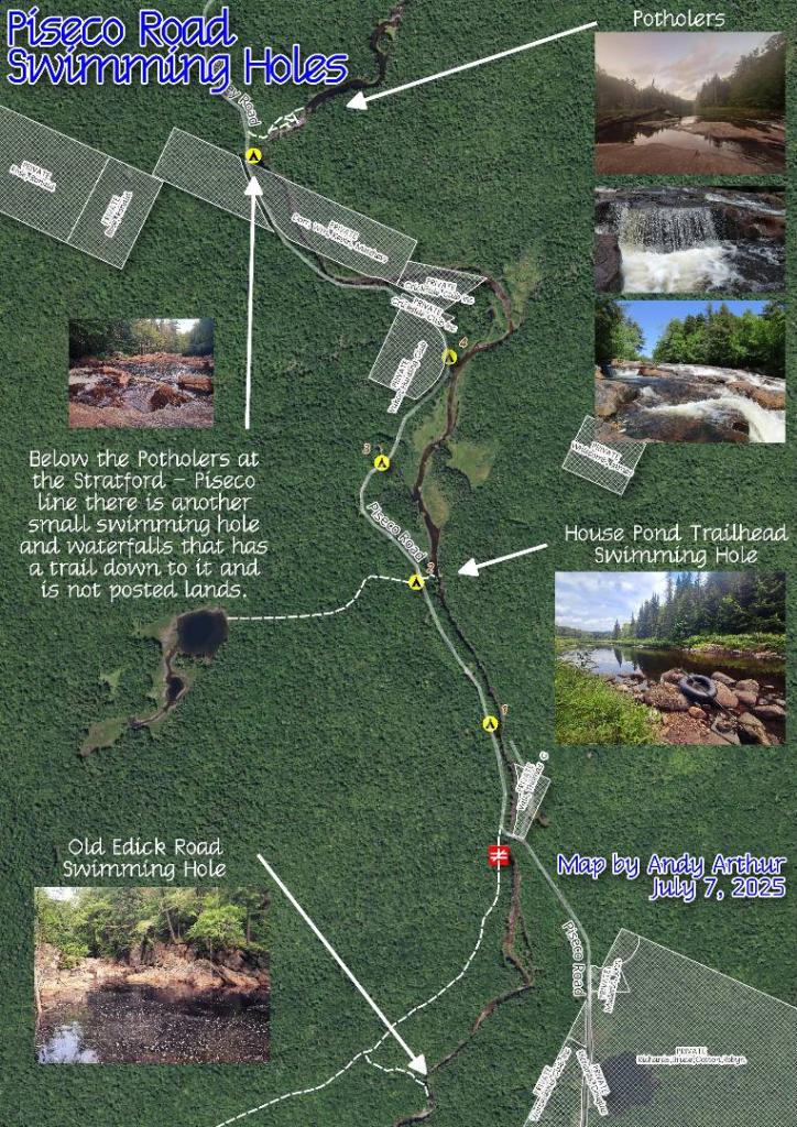
The 17-mile Piseco-Powley Road is a remote dirt route cutting through the Adirondack's Ferris Lake Wild Forest. It features 22 primitive roadside campsites, including four spots at Powley Place where the road crosses the West Branch of the East Canada Creek.
Download the PDF Map Pack with All Maps from Piseco-Powley Road.