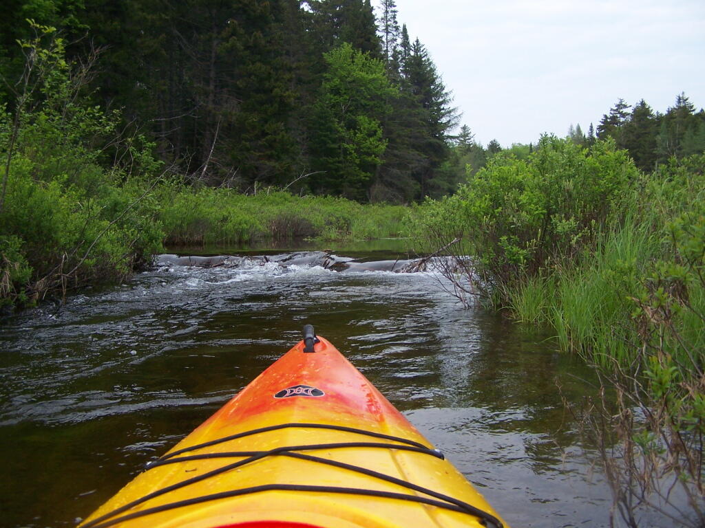
Big Beaver Dam Ahead  🖼️

Download a JPEG Image of the Big Beaver Dam Ahead.

Big Beaver Dam Ahead ...

Crashing down over them was fun with the high water, but going over them without getting out the kayak -- especially the taller ones -- where a bit of a challenge.

Taken on Sunday May 29, 2011 at Piseco-Powley Road.

Map: Severence Hill Trail

More about Piseco-Powley Road...

The 17-mile Piseco-Powley Road is a remote dirt route cutting through the Adirondack's Ferris Lake Wild Forest. It features 22 primitive roadside campsites, including four spots at Powley Place where the road crosses the West Branch of the East Canada Creek.

Map: Big Alderbed Lake Trail
Map: Clockmill Corners to NY 10
Map: Goldmine Stream Falls
Map: House Pond Trail
Map: Lower Powley Bridge to Sugarbush Mountain
Map: Meco Lake Trail (Piseco-Powley Road)
Map: Overview Map Piseco-Powley Road
Map: Powley Place - East Canada Creek - Kayak Canoe
Map: Sand Lake
Map: Sand Lake Trail
Map: Sugarbush Mountain to Clockmill Corners
SVGZ Graphic: high-temp-ny [Expires June 19 2026]
Terrain Map: Edick Road Swimming Hole
Terrain Map: Juneteenth 2022 Weekend
Terrain Map: Powley Road
Thematic Map: Piseco Road Swimming Holes
Photo: Drinking Coffee, Enjoying the Sunlight
Photo: Sunday morning fun
Photo: Flowing Water
Photo: Wild Flowers
Photo: Sugarbush Mountain
Photo: West Branch of the East Canada Creek
Photo: East Canada Creek on a Rainy Evening
Photo: Camp
Photo: A nice place to swim near camp
Photo: Goldmine Stream Falls

Leave a Reply

Your email address will not be published. Required fields are marked *