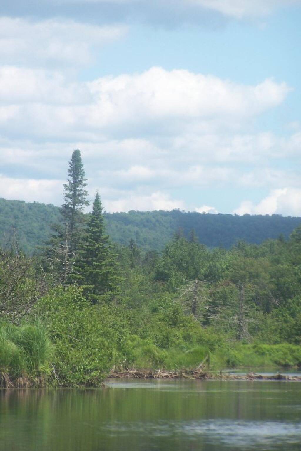
Tree Along the River 🖼️
Download a JPEG Image of the Tree Along the River.
Tree Along the River ...
Taken on Sunday June 24, 2012 at Piseco-Powley Road.

More about Piseco-Powley Road...
The 17-mile Piseco-Powley Road is a remote dirt route cutting through the Adirondack's Ferris Lake Wild Forest. It features 22 primitive roadside campsites, including four spots at Powley Place where the road crosses the West Branch of the East Canada Creek.
Download the PDF Map Pack with All Maps from Piseco-Powley Road.


")


![Photo: Powley Place [Expires July 22 2026]](/data/photo_24893_small.jpg "Photo: Powley Place [Expires July 22 2026]")


