SIGR2021
A lecture on the GIS and mapping ecosystem of R


Driving through the Wyoming sagebrush west of Cheyenne, the clouds of dust rising from the road give way to giant plumes of steam shooting into the warming sky.
This is the Jim Bridger power plant, one of the largest coal-fired power sources in the nation and an enormous emitter of carbon dioxide pollution. At the plant's edge there's a reservoir, lined with rocks and clumps of drying grass. The plant sucks up about 16 million barrels of water each day, using it to power more than million homes across six western states, all the way to Oregon.
But there's a problem that looms for the coal plant operator and the customers that rely on it for electricity. This water is piped here from the Green River, a tributary of the rapidly shrinking Colorado River. Now, amidst a decades-long drought and a shortage of water downstream across the Southwest, future conservation in the basin could mean industrial users like Jim Bridger see their water shut off, says Wyoming State Engineer Brandon Gebhart.
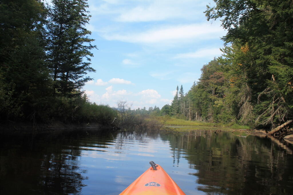
It does look like a nice late summer weekend. Maybe I will end up going out to Schoharie after all, but I’m too busy and it’s too long of a trip to head out to Piseco-Powley for the weekend, especially with gas prices still over $4 a gallon. Big Red has a drinking problem, plus beer and even hot dogs and hamburgers are more expensive then in past. And that boat has sailed on the weekend. Next weekend, assuming the weather is nice I plan to camp and remote work in the Speculator-area for the long-weekend.
Maybe though we will get a decent amount of rain out of today’s storm. I haven’t looked at the QPF data for today, but it would be telling if I looked around the state. I certainly don’t want to be heading north in the pouring rain, or setting up camp in the dark in the rain, especially if it’s only really one full day before turning around and heading back to Albany.
| Today. Feels like … August 14th. |
|
Isolated showers between 7am and 9am, then scattered showers and thunderstorms after 9am. Partly sunny. Calm wind becoming south 5 to 9 mph in the morning. Chance of precipitation is 50%. New rainfall amounts between a quarter and half of an inch possible.
|
82 degrees | 68 max dew point | 7:41 sunset |
| Tonight. Feels like … July 31st. |
|
Isolated showers and thunderstorms before 11pm. Partly cloudy. Light and variable wind. Chance of precipitation is 20%.
|
62 degrees | 67 max dew point | 6:13 sunrise |
| Saturday. Feels like … August 22nd. |
|
Mostly sunny. North wind around 6 mph.
|
81 degrees | 63 max dew point | 7:39 sunset |
| Saturday Night. Feels like … August 26th. |
|
Mostly clear. Light north wind.
|
59 degrees | 6:14 sunrise |
|
| Sunday. Hot ! |
|
Mostly sunny. Calm wind becoming south 5 to 9 mph in the morning.
|
85 degrees | 62 max dew point | 7:38 sunset |
| Sunday Night. Muggy ! |
|
Partly cloudy.
|
65 degrees | 65 max dew point | 6:15 sunrise |
| Monday. Muggy ! |
|
Partly sunny.
|
89 degrees | 70 max dew point | 7:36 sunset |
| Monday Night. Muggy ! |
|
Mostly cloudy.
|
68 degrees | 68 max dew point | 6:17 sunrise |
| Tuesday. Muggy ! |
|
A chance of showers and thunderstorms after 2pm. Partly sunny. Chance of precipitation is 50%.
|
89 degrees | 71 max dew point | 7:34 sunset |
| Tuesday Night. Muggy ! |
|
A chance of showers and thunderstorms. Mostly cloudy. Chance of precipitation is 50%.
|
68 degrees | 70 max dew point | 6:18 sunrise |
| Wednesday. Muggy ! |
|
A chance of showers and thunderstorms. Mostly sunny. Chance of precipitation is 40%.
|
85 degrees | 69 max dew point | 7:33 sunset |
| Wednesday Night. Feels like … September 3rd. |
|
A chance of thunderstorms. Partly cloudy. Chance of precipitation is 30%.
|
57 degrees | 6:19 sunrise |
|
| Thursday. Feels like … September 5th. |
|
Sunny.
|
78 degrees | 55 max dew point | 7:31 sunset |