
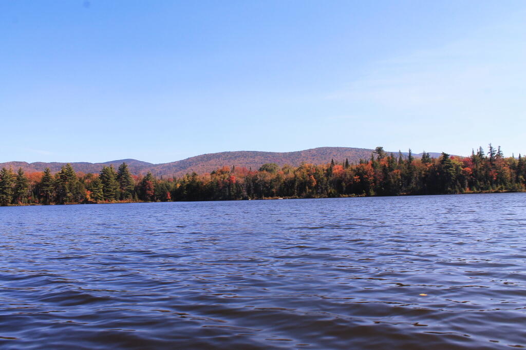
Across Wakely Pond
Autumn always comes early to the high country around Moose River Plains.
Tuesday September 24, 2013 — Wakely Pond — Wakely Pond 🗺
Autumn always comes early to the high country around Moose River Plains.
Tuesday September 24, 2013 — Wakely Pond — Wakely Pond 🗺

")


