
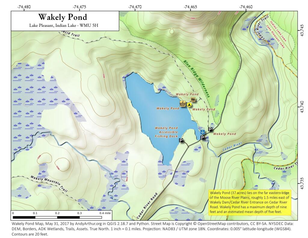


Shrouded in Fog
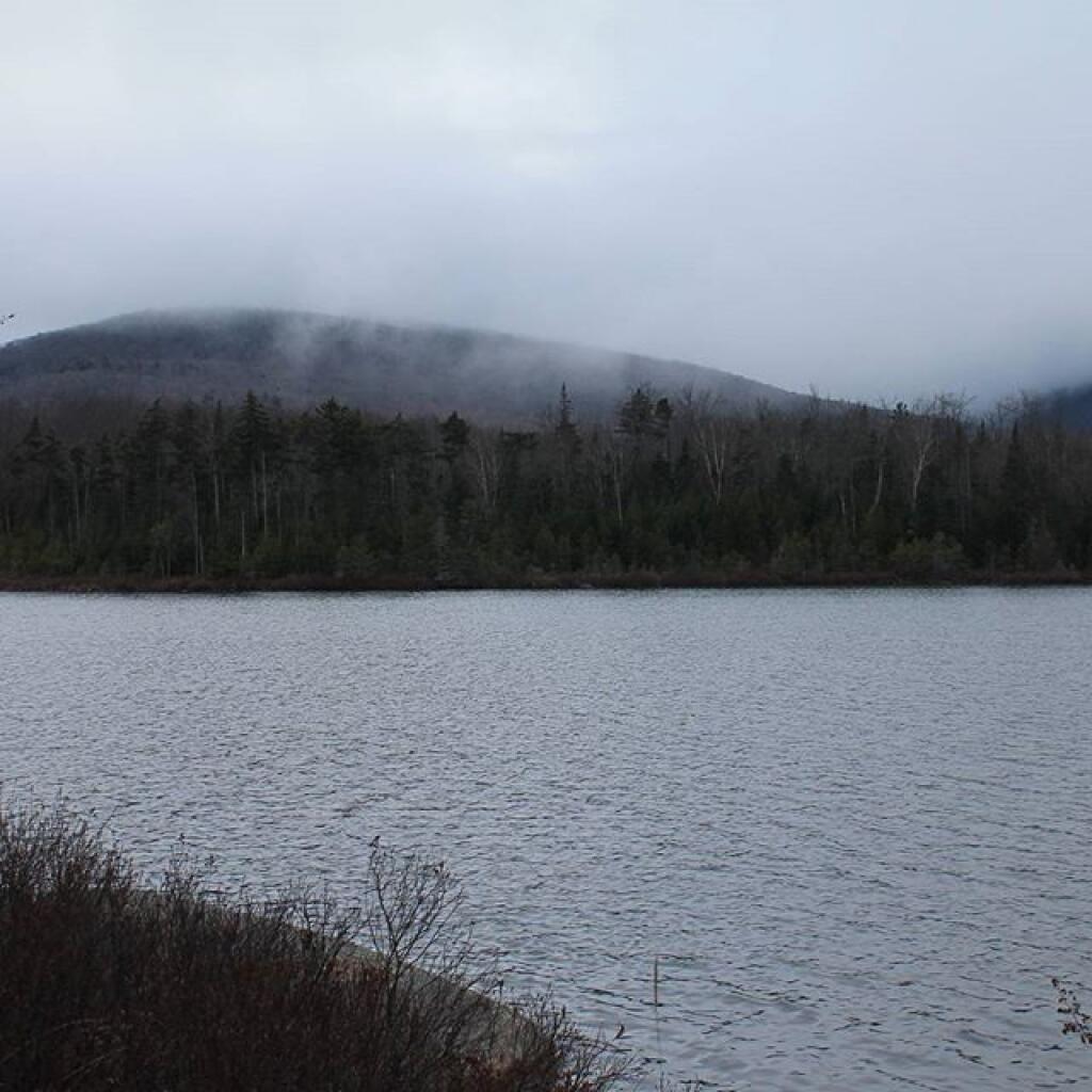

Fog Hangs Low Over Wakley Pond
Kind of a dreary day but I wanted to see what Moose River Plains looked like during the winter, that is before the roads were closed due to snow and ice.
Saturday November 28, 2015 — Wakely Pond — Wakely Pond 🗺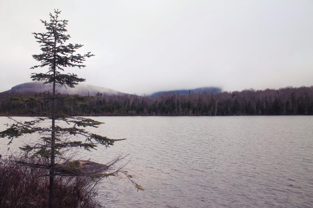

Photo.2013.09.20 13.54.33

