Zoar Valley
A brilliantly colorful false-color image of the Zoar Valley.

Burnt Hill
Display Full Screen - Control + Mouse to Pan, SHIFT and +/- to zoom, arrow keys pan around MapLibre GL map.

Burnt Hill
Display Full Screen - Control + Mouse to Pan, SHIFT and +/- to zoom, arrow keys pan around MapLibre GL map.

Potomac Road
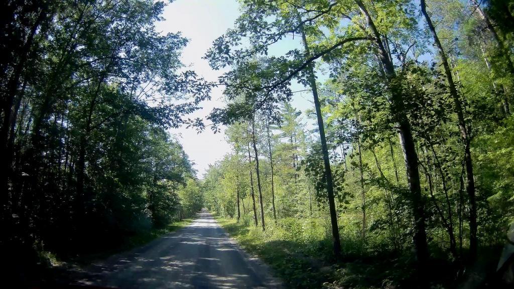
Driving through the National Forest.
Friday August 14, 2020 — Finger Lakes National Forest — Caywood Point on Seneca Lake 🗺 — Central Finger Lakes National Forest 🗺 — Chicken Coop Road 🗺 — Gorge Trail 🗺 — Northern Finger Lakes National Forest 🗺 — Ravine Trail 🗺 — South Slope Trail and Finger Lakes Trail 🗺 — Southern Finger Lakes National Forest 🗺 — Teeter Pond 🗺— PDF with All Maps 📚