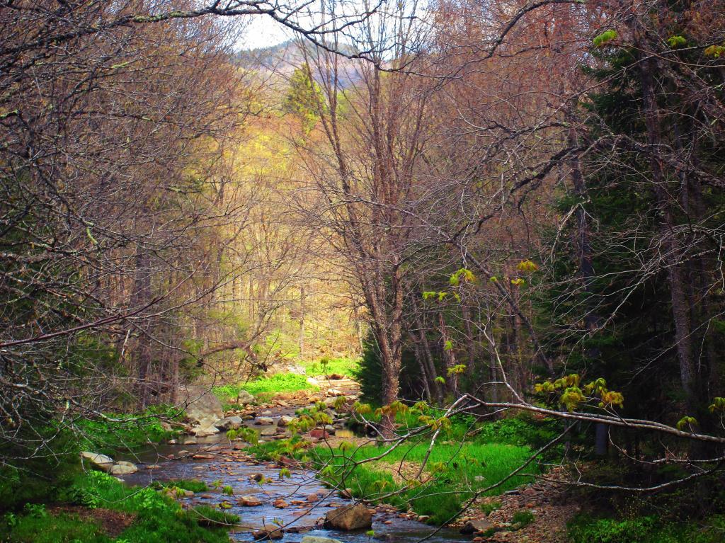
Sacandaga River below Austin Falls
After the torrent of the falls, it becomes quiet.
Saturday May 15, 2021 — Jessup River Wild Forest — Dunning Pond Trail 🗺
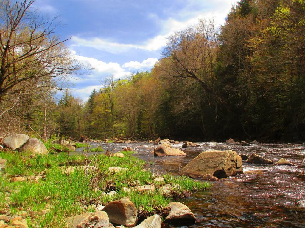
After the torrent of the falls, it becomes quiet.
Saturday May 15, 2021 — Jessup River Wild Forest — Dunning Pond Trail 🗺

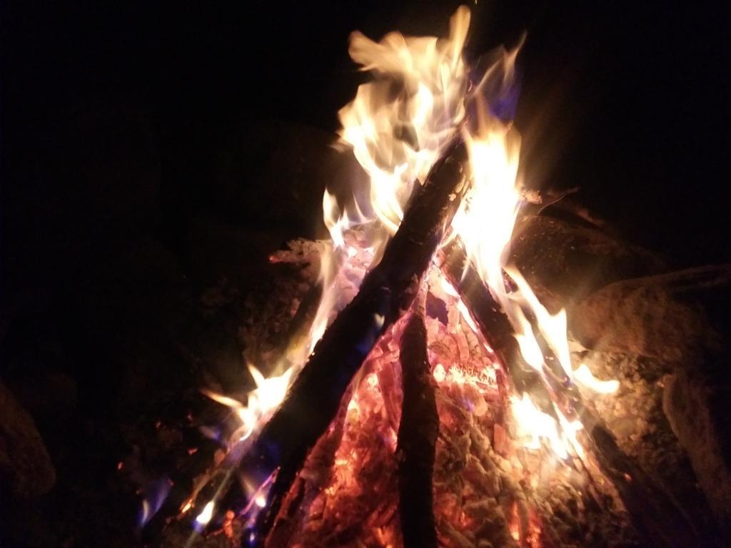

Lit all up for another black fly season. Unfortunately the wind picked up, knocked over my lantern and shattered that so it will be darker tonight as checking my truck I don't have an extra. As much as I don't like the bugs the tent is pretty when it's lit on up.
Thursday May 13, 2021 — Perkins Clearing and Speculator Tree Farm Conservation Easement Lands — Jessup River Road - Perkins Clearing - Campsites and Mason Lake Access 🗺 — Kunjamunk Cave 🗺 — Old Route 8B - Austin Falls - Robbs Creek - Camping 🗺— PDF with All Maps 📚

On Saturday, I walked around the Speculator Tree Farm, hiking 13 miles on dirt roads. While nothing that remarkable, these roads were quiet and there was much wildlife to see in these managed timberlands.
Saturday May 15, 2021 — Perkins Clearing and Speculator Tree Farm Conservation Easement Lands — Jessup River Road - Perkins Clearing - Campsites and Mason Lake Access 🗺 — Kunjamunk Cave 🗺 — Old Route 8B - Austin Falls - Robbs Creek - Camping 🗺— PDF with All Maps 📚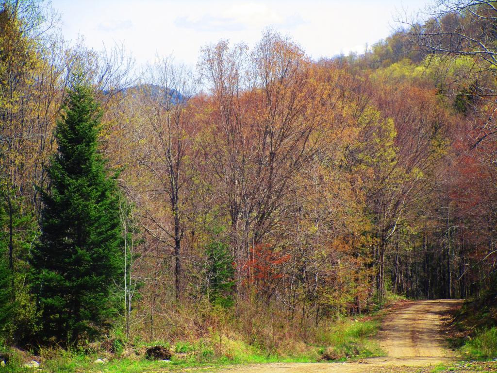

The grass is getting green, but the trees are still leafing out.
Saturday May 15, 2021 — Perkins Clearing and Speculator Tree Farm Conservation Easement Lands — Jessup River Road - Perkins Clearing - Campsites and Mason Lake Access 🗺 — Kunjamunk Cave 🗺 — Old Route 8B - Austin Falls - Robbs Creek - Camping 🗺— PDF with All Maps 📚