Quiet Above Austin Falls
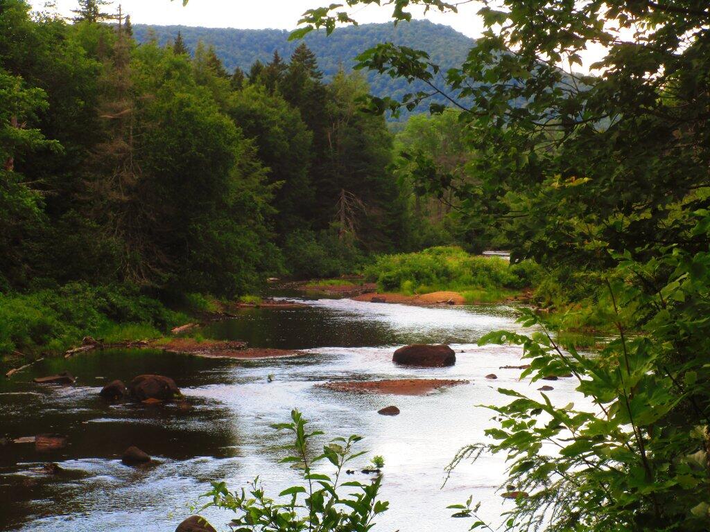
One of the clearings along Old Route 8B where you can see the Sacandaga River, with I believe Rift Hill in the background. The river is wide and quiet down by where it meets up with Robb Creek.
Thursday July 23, 2020 — Jessup River Wild Forest — Dunning Pond Trail 🗺