Ferris Lake Wild Forest ๐Ÿ“

Encompassing a vast expanse of 147,454 acres, the Ferris Lake Wild Forest is characterized by the presence of ancient spruce stands. These can be observed along the Powley-Piseco Road, the northern banks of Alderbed Stream, the vicinity of Blind Manโ€™s Vly, and the slopes of both Big and Little Alderbed Mountains. Adding to its allure, the region boasts an array of ponds, lakes, and streams, attracting outdoor enthusiasts and sportsmen year-round.

The Wild Forest accommodates 14.6 miles of hiking trails, along with an extensive 117-mile network of snowmobile trails (many of which are multi-use), catering to various recreational preferences. With 97 primitive campsites, a boat launch, and a boat dock, the area is well-equipped for adventurers. Furthermore, the public can access 10.95 miles of roads, granting motorized entry to this expansive and captivating property.

https://www.dec.ny.gov/lands/114279.html

๐Ÿ—บ๏ธ Maps ๐Ÿ–ผ๏ธ Photos ๐Ÿ“ฝ๏ธ Videos

NY 10 from Arietta to Piseco is the most odd road.

NY 10 from Arietta to Piseco is the most odd road. ๐Ÿš—

It’s a modern road with well banked curves, smooth surfaces, fairly wide lanes, decent sight distance and tight curves.

It is built to modern engineering standards, bar the curves.

It was built around 1980 from an earlier dirt road, so it uses all the knowledge and standards gained through construction of the interstate highways. Some sections are comfortable to drive at ordinary highway speeds. But other places have incredibly sharp curves, despite the banking.

The reason comes down to a lot of the road runs through forest preserve. Any change to the routing required removal from the extremely limited highway safety land bank in the Adirondack Forest Preserve or a constitutional amendment. So the NYS DOT, at least through the forest preserve continued the original routing as much as possible through the forest preserve while only making relatively minor changes outside of the preserve.
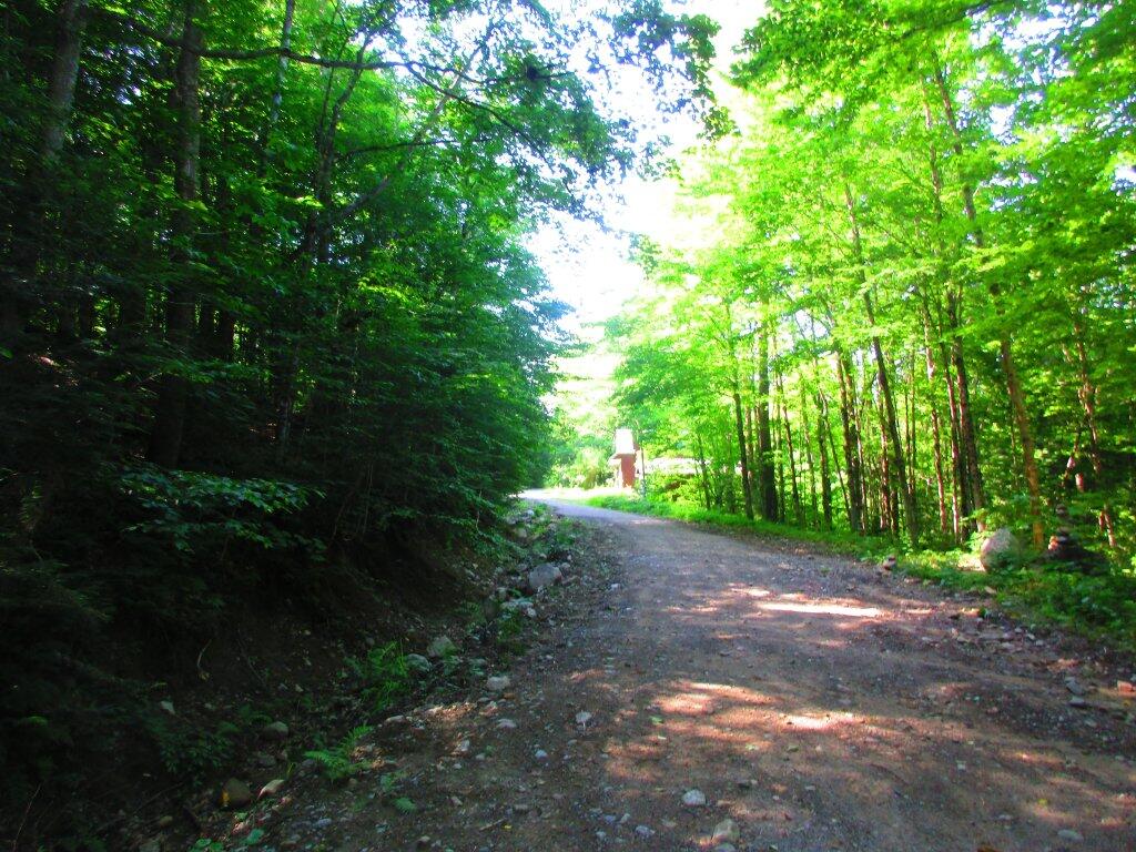
It looks like the Stratford section of Piseco Powley Road can and will be rebuilt.

It looks like the Stratford section of Piseco Powley Road can and will be rebuilt. ๐Ÿ˜

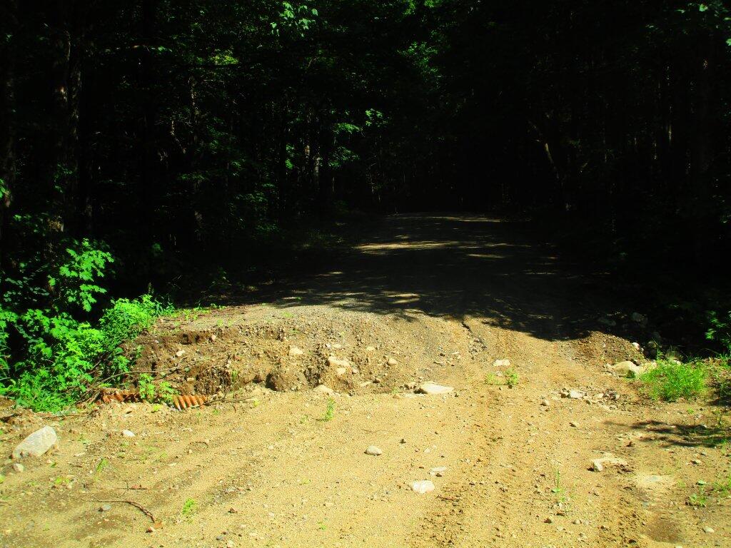
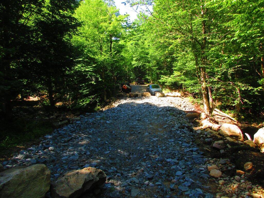
I hiked along the closed section and the reason it hasn’t been rebuilt in Stratford is the lower bridge over the East Canada Creek had one of the retaining walls destroyed during the extreme rainfall last autumn, and until the retaining wall can be repoured and the rock and dirt refilled they can’t reopen the bridge or bring the bulldozer, the excavator and grader in to rebuild the remaining sections.

Most of the damage to the Fulton County section is wash outs and a few culverts are damaged. Most of the problems are ordinary, although some will require fill. The damage to the section where the road runs close to East Canada Creek may require the most fill as the creek ran through the road but its possible some can be leveled using the remaining materials.

But none of that can happen until the bridge ultimately reopens – I can’t see Stratford taking their heavy equipment on a thirty mile detour to fix a dirt road that only has campsites and hunting cabins. But with those taxpaying properties on the road and with many recreationalists shopping in Stratford for ice and supplies, and the need for access by emergency responders, I feel like the town will get the bridge repaired and then get the heavy equipment fix the relatively minor other problems to the road. Plus I can’t imagine that Arietta would have spent so much money rebuilding their 10 mile section of the road without plans for Stratford to rebuild the remaining 3 miles of road. The road is currently open and passable with snow for snow machines and in the summer with ATVs.

I took several pictures of the closed section of the road’s damage during my hike.