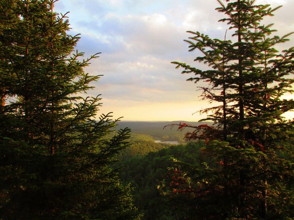
South
Looking out towards Spectacle Lake and the flatlands of southern Ferris Lake Wild Forest.
Sunday July 26, 2020 — Good Luck Lake — Good Luck Lake 🗺

Looking out towards Spectacle Lake and the flatlands of southern Ferris Lake Wild Forest.
Sunday July 26, 2020 — Good Luck Lake — Good Luck Lake 🗺

Good Luck Cliffs are sheer granite cliffs, high above the relatively flat lands of the Southern Adirondacks below.
Sunday July 26, 2020 — Good Luck Lake — Good Luck Lake 🗺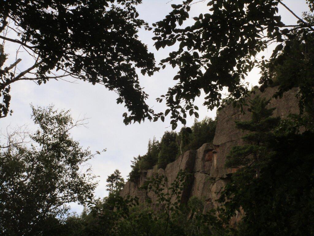
Despite the heat, there was a good breeze most of the time when I was camping up north.
Sunday July 26, 2020 — Piseco-Powley Road — Big Alderbed Lake Trail 🗺 — Clockmill Corners to NY 10 🗺 — Edick Road Swimming Hole 🗺 — Goldmine Stream Falls 🗺 — House Pond Trail 🗺 — Lower Powley Bridge to Sugarbush Mountain 🗺 — Meco Lake Trail (Piseco-Powley Road) 🗺 — Overview Map Piseco-Powley Road 🗺 — Piseco Road Swimming Holes 🗺 — Powley Place - East Canada Creek - Kayak Canoe 🗺 — Sand Lake 🗺 — Sand Lake Trail 🗺 — Sugarbush Mountain to Clockmill Corners 🗺— PDF with All Maps 📚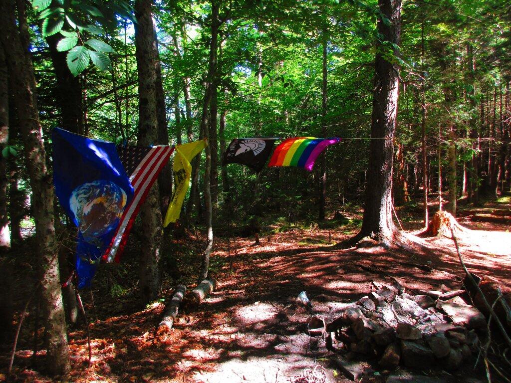

Coming back to the Potholers, I noted that Arietta has brought in an excavataotor and is hardening the crossing over Brayhouse Brook. They've added additional ourse rock, and have lined the edges of the culvert with heavy boulders. They've also done additional repairs to their section of the road just to south of the Potholers. I've been told that Stratford is working on repairing their bridge and will be re-grading their section of road in the coming weeks, to prepare the road for full opening by the start of hunting season on September 1st.
Saturday July 25, 2020 — Piseco-Powley Road — Big Alderbed Lake Trail 🗺 — Clockmill Corners to NY 10 🗺 — Edick Road Swimming Hole 🗺 — Goldmine Stream Falls 🗺 — House Pond Trail 🗺 — Lower Powley Bridge to Sugarbush Mountain 🗺 — Meco Lake Trail (Piseco-Powley Road) 🗺 — Overview Map Piseco-Powley Road 🗺 — Piseco Road Swimming Holes 🗺 — Powley Place - East Canada Creek - Kayak Canoe 🗺 — Sand Lake 🗺 — Sand Lake Trail 🗺 — Sugarbush Mountain to Clockmill Corners 🗺— PDF with All Maps 📚

It’s a modern road with well banked curves, smooth surfaces, fairly wide lanes, decent sight distance and tight curves.
It is built to modern engineering standards, bar the curves.
It was built around 1980 from an earlier dirt road, so it uses all the knowledge and standards gained through construction of the interstate highways. Some sections are comfortable to drive at ordinary highway speeds. But other places have incredibly sharp curves, despite the banking.
The reason comes down to a lot of the road runs through forest preserve. Any change to the routing required removal from the extremely limited highway safety land bank in the Adirondack Forest Preserve or a constitutional amendment. So the NYS DOT, at least through the forest preserve continued the original routing as much as possible through the forest preserve while only making relatively minor changes outside of the preserve.