It looks like the Stratford section of Piseco Powley Road can and will be rebuilt.
It looks like the Stratford section of Piseco Powley Road can and will be rebuilt. 😍
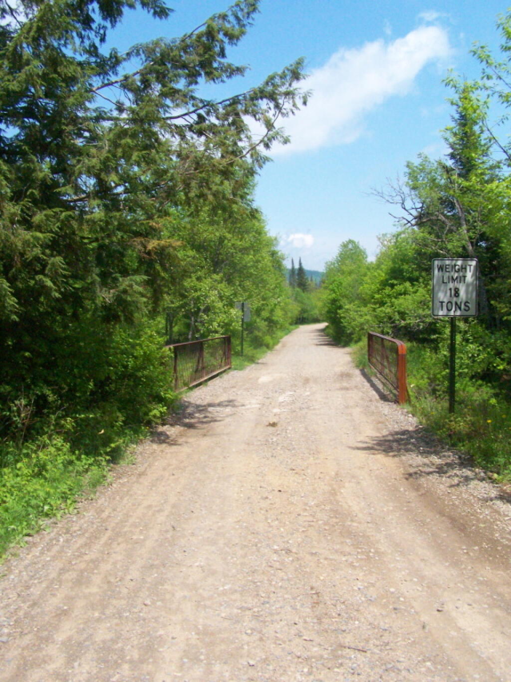
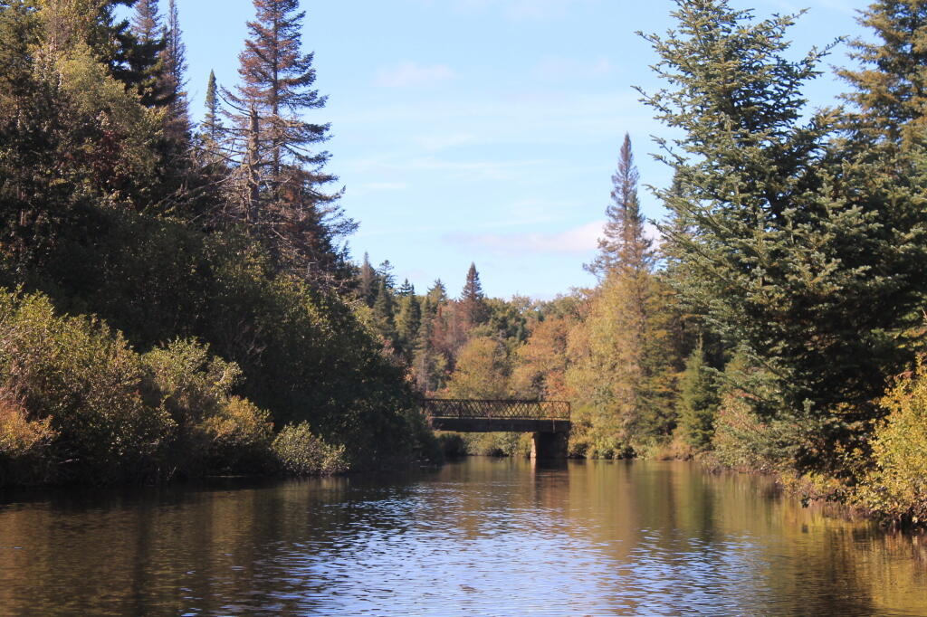
I hiked along the closed section and the reason it hasn’t been rebuilt in Stratford is the lower bridge over the East Canada Creek had one of the retaining walls destroyed during the extreme rainfall last autumn, and until the retaining wall can be repoured and the rock and dirt refilled they can’t reopen the bridge or bring the bulldozer, the excavator and grader in to rebuild the remaining sections.
Most of the damage to the Fulton County section is wash outs and a few culverts are damaged. Most of the problems are ordinary, although some will require fill. The damage to the section where the road runs close to East Canada Creek may require the most fill as the creek ran through the road but its possible some can be leveled using the remaining materials.
But none of that can happen until the bridge ultimately reopens – I can’t see Stratford taking their heavy equipment on a thirty mile detour to fix a dirt road that only has campsites and hunting cabins. But with those taxpaying properties on the road and with many recreationalists shopping in Stratford for ice and supplies, and the need for access by emergency responders, I feel like the town will get the bridge repaired and then get the heavy equipment fix the relatively minor other problems to the road. Plus I can’t imagine that Arietta would have spent so much money rebuilding their 10 mile section of the road without plans for Stratford to rebuild the remaining 3 miles of road. The road is currently open and passable with snow for snow machines and in the summer with ATVs.
I took several pictures of the closed section of the road’s damage during my hike.