Essex County πŸ“

Essex County is a county located in the U.S. state of New York. As of the 2010 census, the population was 39,370. Its county seat is Elizabethtown. Along with Hamilton County, Essex is entirely within the Adirondack Park.

Essex County is in the northeastern part of New York State, just west of Vermont along the eastern boundary of the State. The eastern boundary of Essex County is Lake Champlain, which serves as the New York – Vermont border at an elevation of just under 100 feet (30.5 m). The highest natural point in New York, Mount Marcy at 5,344 feet (1,629 m), is in the Town of Keene. The Ausable River forms a partial northern boundary for the county.

http://en.wikipedia.org/wiki/Essex_County,_NY

Download the PDF Map Pack
πŸ—ΊοΈ Maps πŸ–ΌοΈ Photos

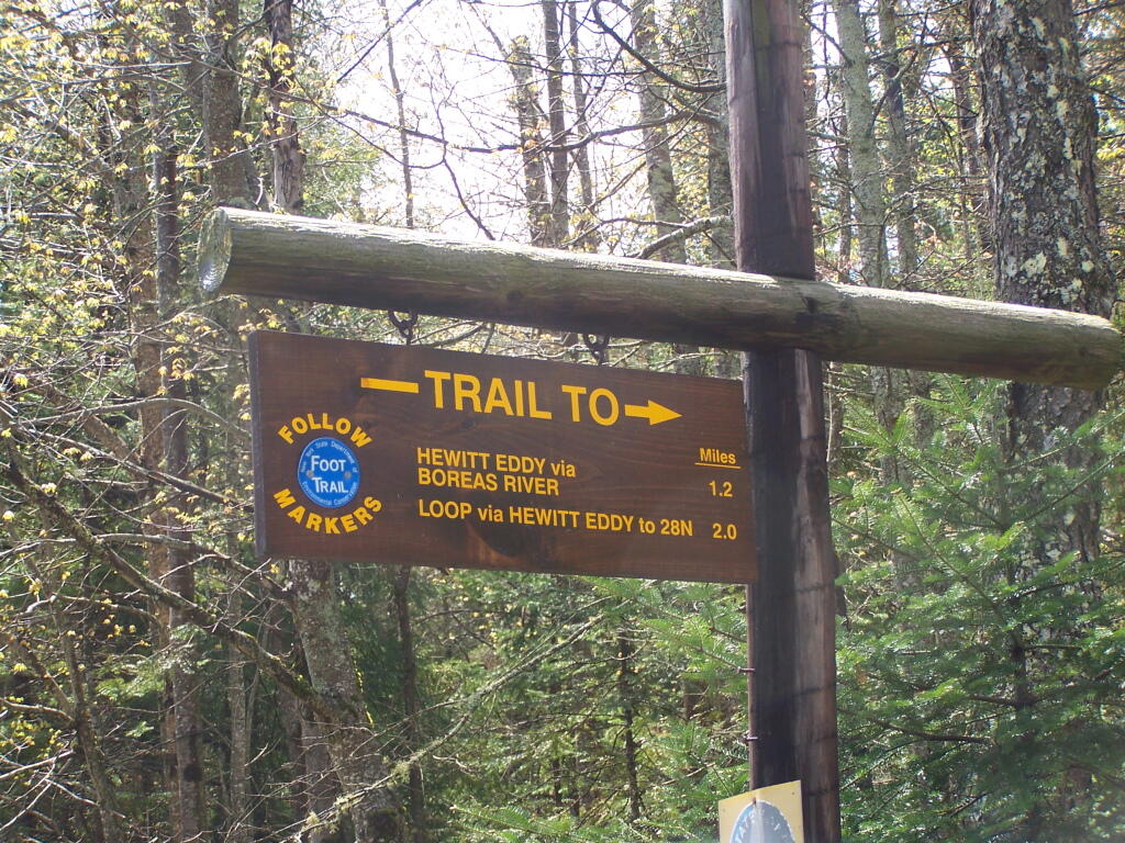
Hewitt Eddy / Boreas Trail

This is another trail to explore in the future, although I bet you this past weekend it would have been pretty, with all the water coming down the Boreas River.

Saturday May 21, 2011 — Vanderwhacker Mountain Wild ForestBig Pond Trail 🗺Boreas Railroad - Moose Club Way To Northwoods Club Road 🗺Boreas River 🗺Bullet Pond And Horseshoe Pond 🗺Roosevelt Truck Trail 🗺Stony Pond 🗺Vanderwhacker Firetower Trail 🗺Vanderwhacker Road Campsites 🗺Wolf Pond Trail 🗺Wolf Pond Trail Ortho 🗺PDF with All Maps 📚
Map: Stone Dam Lake
Map: Windham High Peak

My Truck Parked at Alder Pond

I stopped at the loop right before where the truck trail crosses Alder Pond. This increased my hike by about 1.5 miles, but I didn't want to ditch my truck in the lake.

Sunday April 11, 2010 — Pharaoh Lake WildernessBerrymill Pond Trail From North 🗺Crane Pond 🗺Crane Pond Road 🗺Glidden Marsh To Pharaoh Lake Trail 🗺Goose Pond 🗺Goose Pond Trail 🗺Gull And Spectacle Pond 🗺Lost Pond Trail 🗺Pharaoh Lake Trail 🗺Treadway Mountain from Putnam Pond Campground 🗺PDF with All Maps 📚
Terrain Map: Light Pollution New York March 2024
Map: Shindagin Hollow State Forest Ortho
Map: Severence Hill Trail