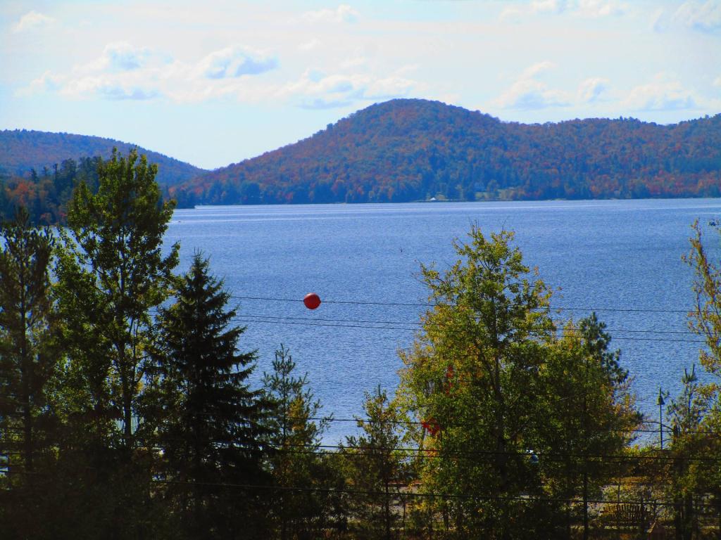
Windham High Peak
Download a High Resolution JPEG Image of the Windham High Peak or an Adobe Acrobat Printable PDF of the Windham High Peak.


Bookmark my free Interactive GPS Map for your phone:
https://andyarthur.org/ny
... shows your location as a blue dot in relationship to campsites, trails, state land. This online map requires cell service, won't work in remote country, so also bring a paper map.
Free Download of New & Historical USGS 1:24k Topograpic Maps
Interactive maps with backcountry and roadside camping: New York, Pennsylvania, West Virginia & Vermont. List of NYS DEC Lean-Tos and Firetowers.
Google Spreadsheet with Roadside, Primitive and Pay Campsites
More about Windham High Peak...
Windham High Peak is a mountain located in Greene County, New York. The mountain is part of the Catskill Mountains.
Windham High Peak stands within the watershed of the Hudson River, which drains into New York Bay. The south and northwest sides of Windham drain into Batavia Kill, and thence into Schoharie Creek, the Mohawk River, and the Hudson River. The northeast side of Windham drains into Bowery Creek, thence into Catskill Creek, and the Hudson River.
Windham High Peak is within New York's Catskill Park. The Long Path, a 350-mile (560 km) long-distance hiking trail from New York City to Albany, is contiguous with the Escarpment Trail.
http://en.wikipedia.org/wiki/Windham_High_Peak


