Essex County πŸ“

Essex County is a county located in the U.S. state of New York. As of the 2010 census, the population was 39,370. Its county seat is Elizabethtown. Along with Hamilton County, Essex is entirely within the Adirondack Park.

Essex County is in the northeastern part of New York State, just west of Vermont along the eastern boundary of the State. The eastern boundary of Essex County is Lake Champlain, which serves as the New York – Vermont border at an elevation of just under 100 feet (30.5 m). The highest natural point in New York, Mount Marcy at 5,344 feet (1,629 m), is in the Town of Keene. The Ausable River forms a partial northern boundary for the county.

http://en.wikipedia.org/wiki/Essex_County,_NY

Download the PDF Map Pack
πŸ—ΊοΈ Maps πŸ–ΌοΈ Photos

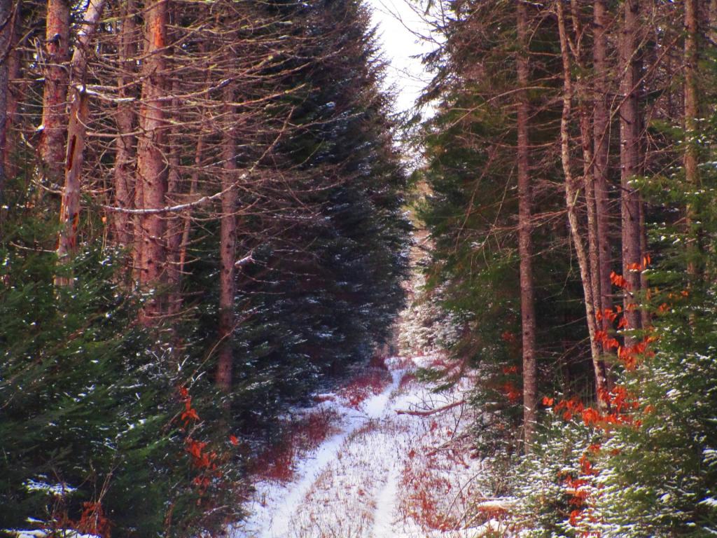
Between the Tall White Pines of Roosevelt Truck Trail

Really pretty nice mountain bike riding, just enough snow but not too much, and the tire tracks this time of year make a smooth path to ride on. Ditches have either ramps across them or culverts.

Friday November 28, 2025 — Vanderwhacker Mountain Wild ForestBig Pond Trail 🗺Boreas Railroad - Moose Club Way To Northwoods Club Road 🗺Boreas River 🗺Bullet Pond And Horseshoe Pond 🗺Roosevelt Truck Trail 🗺Stony Pond 🗺Vanderwhacker Firetower Trail 🗺Vanderwhacker Road Campsites 🗺Wolf Pond Trail 🗺Wolf Pond Trail Ortho 🗺PDF with All Maps 📚
Map: Casey Road Campsite

Riding along the Roosevelt Truck Trail

The trail was mostly free of obstacles though there were a few down trees from place to place you had to either go under or haul your mountain bike over.

Friday November 28, 2025 — Vanderwhacker Mountain Wild ForestBig Pond Trail 🗺Boreas Railroad - Moose Club Way To Northwoods Club Road 🗺Boreas River 🗺Bullet Pond And Horseshoe Pond 🗺Roosevelt Truck Trail 🗺Stony Pond 🗺Vanderwhacker Firetower Trail 🗺Vanderwhacker Road Campsites 🗺Wolf Pond Trail 🗺Wolf Pond Trail Ortho 🗺PDF with All Maps 📚
Map: Prospect Mountain Road Campsites
Map: Mountain House Trail and North Mountain
Map: Severence Hill Trail