Essex County πŸ“

Essex County is a county located in the U.S. state of New York. As of the 2010 census, the population was 39,370. Its county seat is Elizabethtown. Along with Hamilton County, Essex is entirely within the Adirondack Park.

Essex County is in the northeastern part of New York State, just west of Vermont along the eastern boundary of the State. The eastern boundary of Essex County is Lake Champlain, which serves as the New York – Vermont border at an elevation of just under 100 feet (30.5 m). The highest natural point in New York, Mount Marcy at 5,344 feet (1,629 m), is in the Town of Keene. The Ausable River forms a partial northern boundary for the county.

http://en.wikipedia.org/wiki/Essex_County,_NY

πŸ—ΊοΈ Maps πŸ–ΌοΈ Photos

Old Conservation Department Marker

I always like seeing these old Conservation Department markers. I am not sure how many of them are actually 55 years old at this point, and how many were "new" old stock, that had been sitting in a warehouse for years before they were installed. Painted aluminum might be fairly indestructible compared to the plastic markers of recent decades, but I can't imagine the original markers from late 1960s would still look this good after all those years. The DEC replaced the Conservation Department on April 1, 1970.

Saturday November 29, 2025 — Hewitt Eddy TrailHewitt Eddy (Boreas Loop) Trail 🗺
Map: Severence Hill Trail
SVGZ Graphic: Control of State Government - By Percentage of US Population

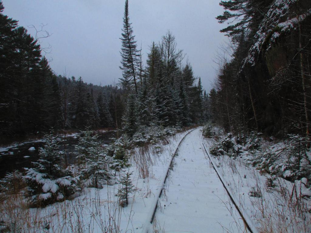
Walking Along the Tahawas Railroad Tracks

I had to think what an asset that they would be if they took up the tracks and turned it into a bike way, similar to the Adirondack Rail Trail. While in theory thei owner wants the ability to mine Tahawas again, it seems they are essentially abandoned and overgrown, though it looks like they were trimmed back a few years back. The Boreas River runs right along this section of track, and would have some great views if it was bicycable in summer and in winter open to snowmobiles without the danger of the trackage. 

Sunday November 30, 2025 — Vanderwhacker Mountain Wild ForestBig Pond Trail 🗺Boreas Railroad - Moose Club Way To Northwoods Club Road 🗺Boreas River 🗺Bullet Pond And Horseshoe Pond 🗺Roosevelt Truck Trail 🗺Stony Pond 🗺Vanderwhacker Firetower Trail 🗺Vanderwhacker Road Campsites 🗺Wolf Pond Trail 🗺Wolf Pond Trail Ortho 🗺PDF with All Maps 📚
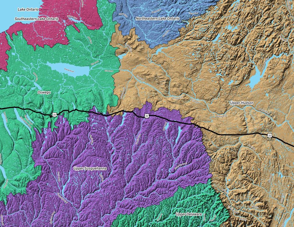
Terrain Map: Catskill Creek Watershed

Roosevelt Truck Trail Campsite 1

There are two accessible campsites along the Roosevelt Truc Trail, each with a fire ring, a picnic table and an accessible (large) outhouse.

Friday November 28, 2025 — Vanderwhacker Mountain Wild ForestBig Pond Trail 🗺Boreas Railroad - Moose Club Way To Northwoods Club Road 🗺Boreas River 🗺Bullet Pond And Horseshoe Pond 🗺Roosevelt Truck Trail 🗺Stony Pond 🗺Vanderwhacker Firetower Trail 🗺Vanderwhacker Road Campsites 🗺Wolf Pond Trail 🗺Wolf Pond Trail Ortho 🗺PDF with All Maps 📚
Map: Debar Pond

Washing My Truck Before the Snowstorm

No wait at the car wash last night! I actually think my truck stayed mostly free of salt driving it home from the car wash. It at least was much less encrusted then it was before I parked it for it's long sit probably between now and Sunday when it is the next time I'm likely to fire it up again.

Monday December 1, 2025 — Vanderwhacker Mountain Wild ForestBig Pond Trail 🗺Boreas Railroad - Moose Club Way To Northwoods Club Road 🗺Boreas River 🗺Bullet Pond And Horseshoe Pond 🗺Roosevelt Truck Trail 🗺Stony Pond 🗺Vanderwhacker Firetower Trail 🗺Vanderwhacker Road Campsites 🗺Wolf Pond Trail 🗺Wolf Pond Trail Ortho 🗺PDF with All Maps 📚
Map: Hanging Bog Wildlife Management Area - Orthophoto