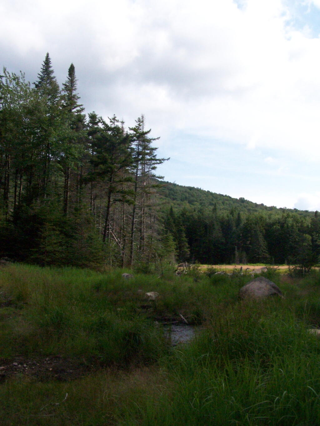
Sagmore Road


")
In the late afternoon.
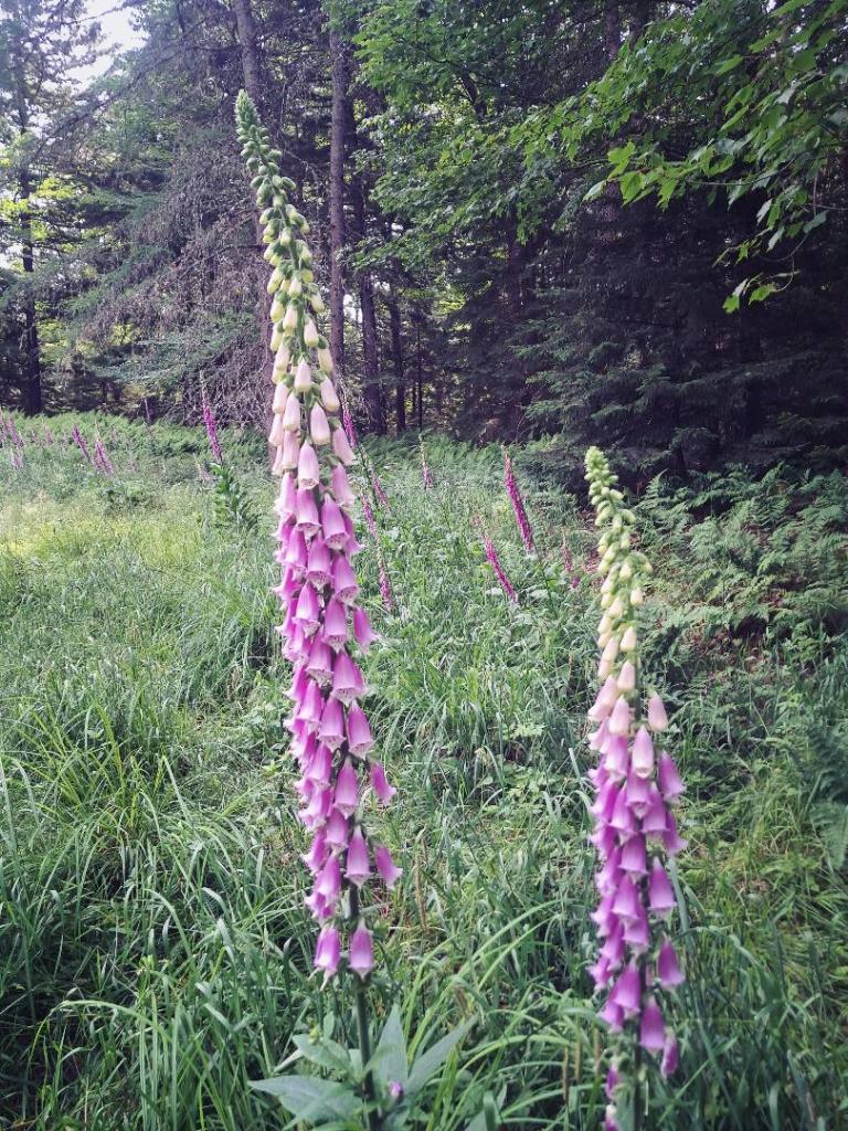
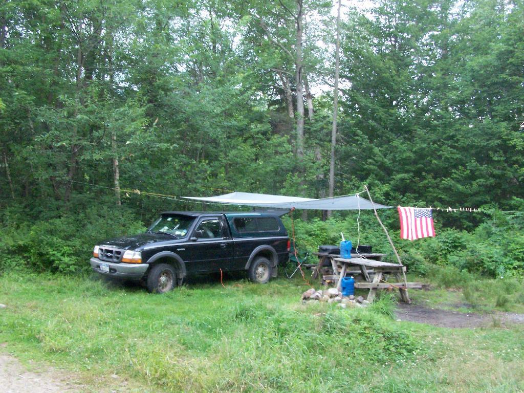
Thursday July 22, 2010 — Moose River Plains — Bear Pond Trail 🗺 — Beaver Lake 🗺 — Ice House Pond 🗺 — Moose River Plains Camping Area 1-30 🗺 — Moose River Plains Camping Area 123-131 🗺 — Moose River Plains Camping Area 30-40 🗺 — Moose River Plains Camping Area 41-61 🗺 — Moose River Plains Camping Area 64-74 🗺 — Moose River Plains Camping Area 71-123 🗺 — Moose River Plains Camping Area 80-110 🗺 — Moose River Plains Camping Area 80-111 🗺 — Moose River Plains Recreation Area 🗺 — Natural Rock Dam Trail 🗺— PDF with All Maps 📚