![Untitled [Expires August 12 2025]](https://andyarthur.org//data/photo_007068_large.jpg)

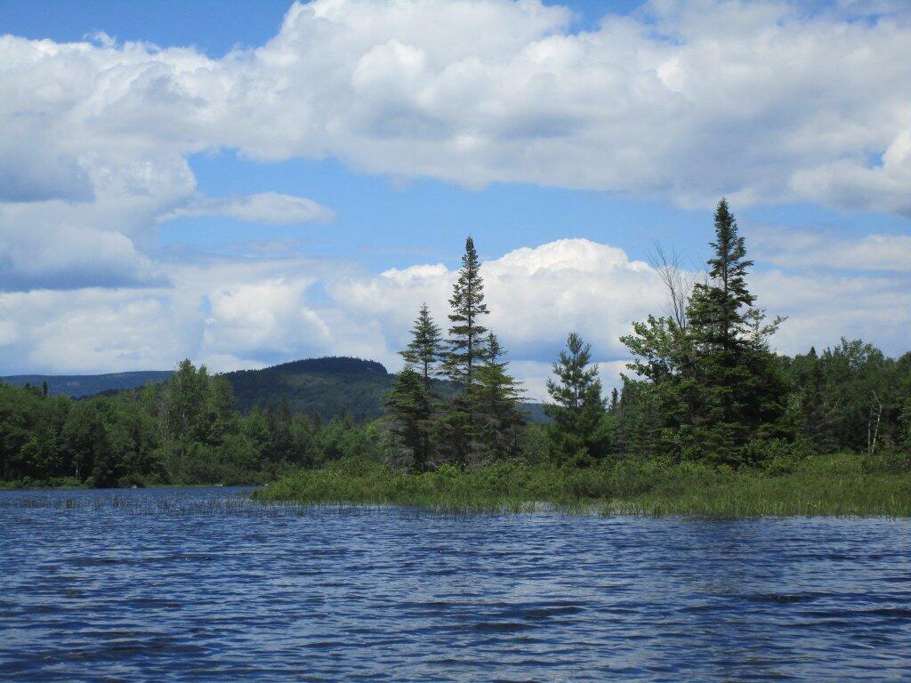
Fishing on cedar River Flow
A nice Independence Day out on the water.

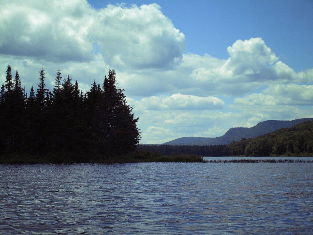
Island With Sturges Hill In The Distance

Cedar River Flow 3D Interactive
This interactive map allows you to explore Cedar River Flow in 3D. Use your mouse to pan, to zoom use your mouse scroll button, and hold down the control button to spin around.
Beautiful Day