Jessup River Wild Forest 📍
🖼️ Photos
Old Route 8B on a Rainy Late April Day
Always a nice ride but bumpy too.
Sunday April 27, 2025 — Perkins Clearing and Speculator Tree Farm Conservation Easement Lands — Jessup River Road - Perkins Clearing - Campsites and Mason Lake Access 🗺 — Kunjamunk Cave 🗺 — Old Route 8B - Austin Falls - Robbs Creek - Camping 🗺— PDF with All Maps 📚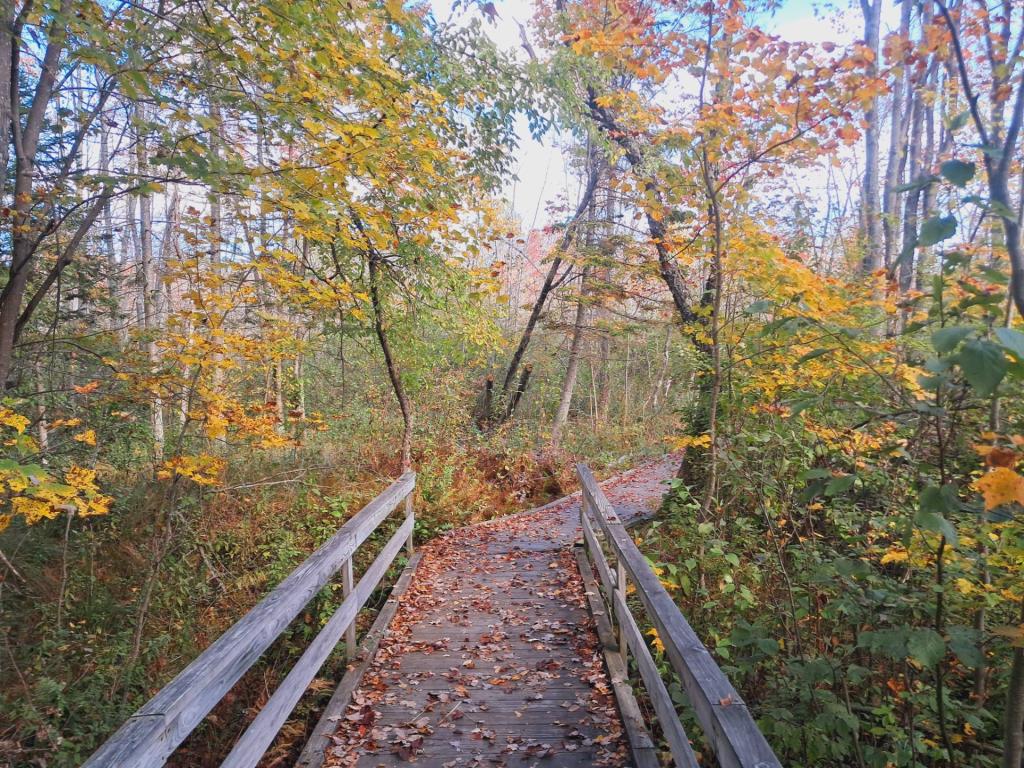

Evening Along the Sacandaga River
Walking along the Sacandaga River on a clear but cool night along Old Route 8B. Did not see a single car or person in over two hours of walking, returning to camp after the moon had risen, providing light for nighttime walking.
Monday April 26, 2021 — Perkins Clearing and Speculator Tree Farm Conservation Easement Lands — Jessup River Road - Perkins Clearing - Campsites and Mason Lake Access 🗺 — Kunjamunk Cave 🗺 — Old Route 8B - Austin Falls - Robbs Creek - Camping 🗺— PDF with All Maps 📚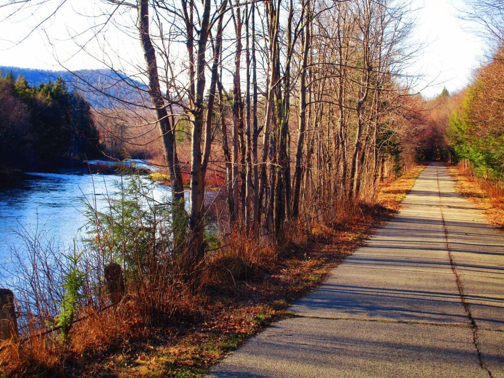

![Untitled [Expires July 21 2025]](https://andyarthur.org//data/photo_017247_large.jpg)
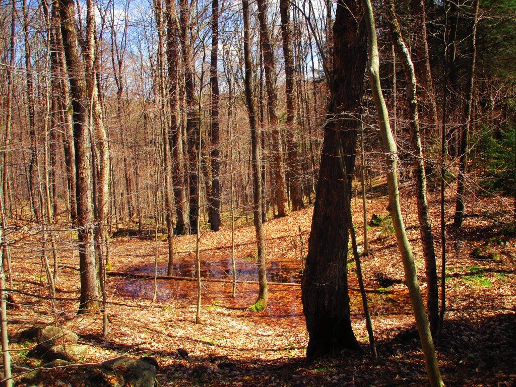
Vernal Pool
Walking along the old Dunning Pond Snowmobile trail I stumbled upon this vernal pool full of tad poles.
Sunday May 3, 2020 — Jessup River Wild Forest — Dunning Pond Trail 🗺