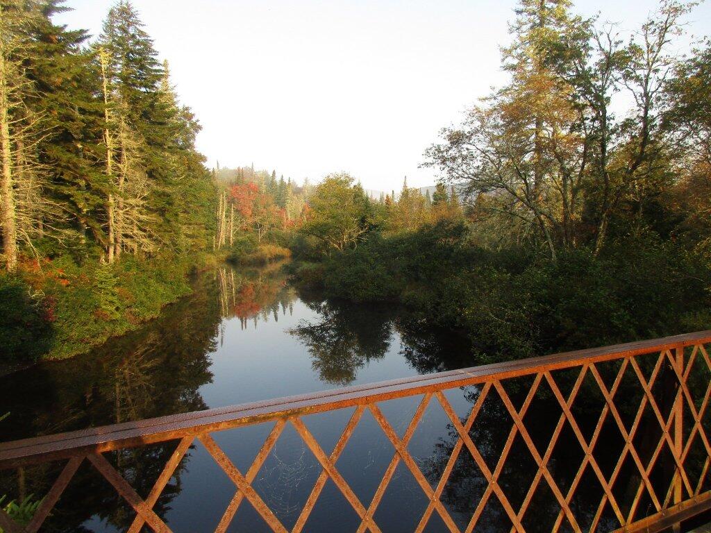
Foggy Morning On Powley Bridge


This organized series of maps shows Piseco-Powley Road from Piseco/NY 10 to Stratford/Powley Road from Northeast (top) to Southwest (bottom). After completion of these maps, I noticed a typo, “Clockmiller Corners” should read “Clockmill Corners”. Edick Road, the dashed portion is an old woods road open to hiking and mountain biking in the summer, and is maintained for snowmobiles in the winter.

![Untitled [Expires October 29 2025]](https://andyarthur.org//data/photo_020096_large.jpg)
![Untitled [Expires September 9 2025]](https://andyarthur.org//data/photo_019743_large.jpg)
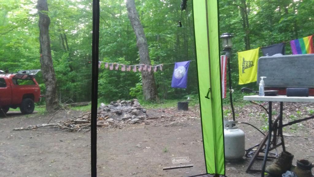
The final campfire of the summer camping, relaxing and enjoying the stars.
Saturday September 21, 2019 — Piseco-Powley Road — Big Alderbed Lake Trail 🗺 — Clockmill Corners to NY 10 🗺 — Edick Road Swimming Hole 🗺 — Goldmine Stream Falls 🗺 — House Pond Trail 🗺 — Lower Powley Bridge to Sugarbush Mountain 🗺 — Meco Lake Trail (Piseco-Powley Road) 🗺 — Overview Map Piseco-Powley Road 🗺 — Piseco Road Swimming Holes 🗺 — Powley Place - East Canada Creek - Kayak Canoe 🗺 — Sand Lake 🗺 — Sand Lake Trail 🗺 — Sugarbush Mountain to Clockmill Corners 🗺— PDF with All Maps 📚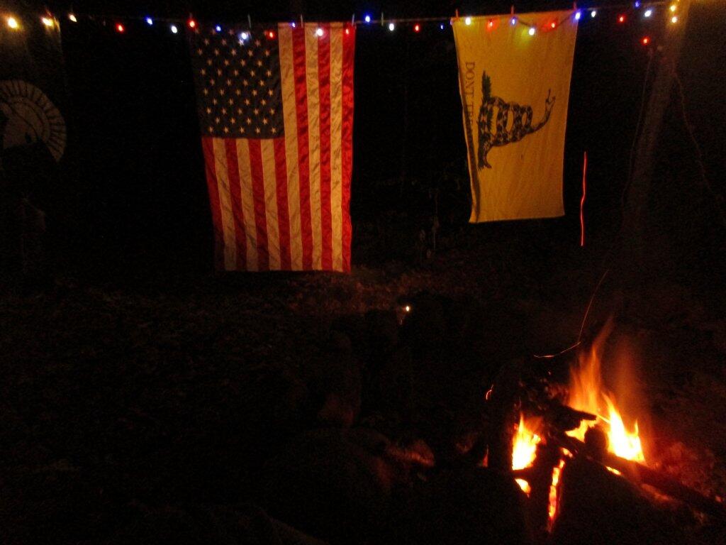

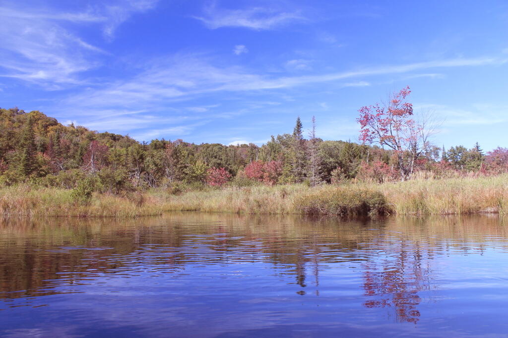

This is the backwaters and channels of the winding East Canada Creek. There is a strong resemblance to a similar area of Moose River Plains near the Summer Stream.
Monday September 6, 2010 — Piseco-Powley Road — Big Alderbed Lake Trail 🗺 — Clockmill Corners to NY 10 🗺 — Edick Road Swimming Hole 🗺 — Goldmine Stream Falls 🗺 — House Pond Trail 🗺 — Lower Powley Bridge to Sugarbush Mountain 🗺 — Meco Lake Trail (Piseco-Powley Road) 🗺 — Overview Map Piseco-Powley Road 🗺 — Piseco Road Swimming Holes 🗺 — Powley Place - East Canada Creek - Kayak Canoe 🗺 — Sand Lake 🗺 — Sand Lake Trail 🗺 — Sugarbush Mountain to Clockmill Corners 🗺— PDF with All Maps 📚