Red
Evening camping along the East Branch at Campsite 5 after the dusting of snow had melted away. It was sunny but at cold afternoon.
Saturday April 18, 2020 — East Branch Sacandaga River
Evening camping along the East Branch at Campsite 5 after the dusting of snow had melted away. It was sunny but at cold afternoon.
Saturday April 18, 2020 — East Branch Sacandaga River
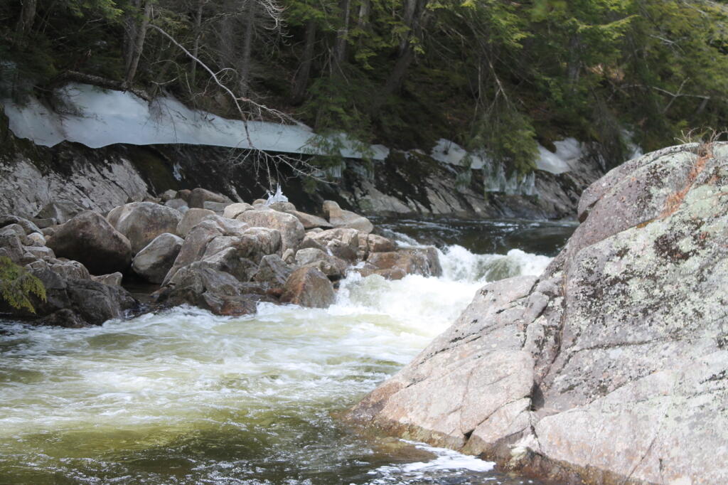
It was covered with a icy film, and you can kind of see the ice on all of the trees. Not exactly what I was expecting for late April camping in the Adirondacks.
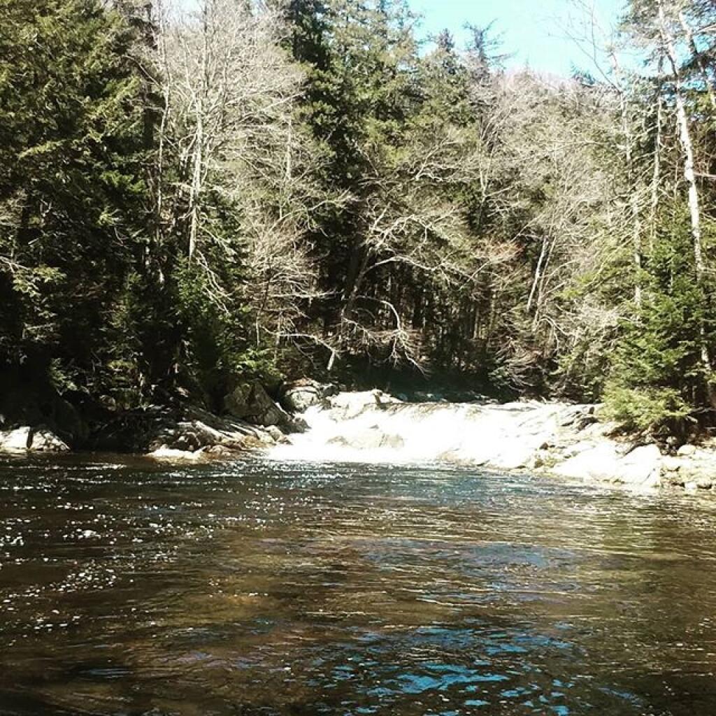
Friday April 22, 2011 — East Branch Sacandaga River


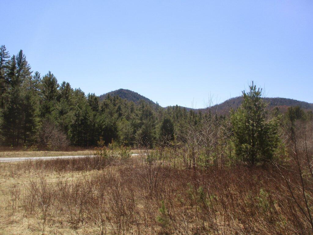
The upper part of Teachout Road was severely washed out after last year's late October storm and is still only being rebuilt now.
Sunday April 19, 2020 — East Branch Sacandaga River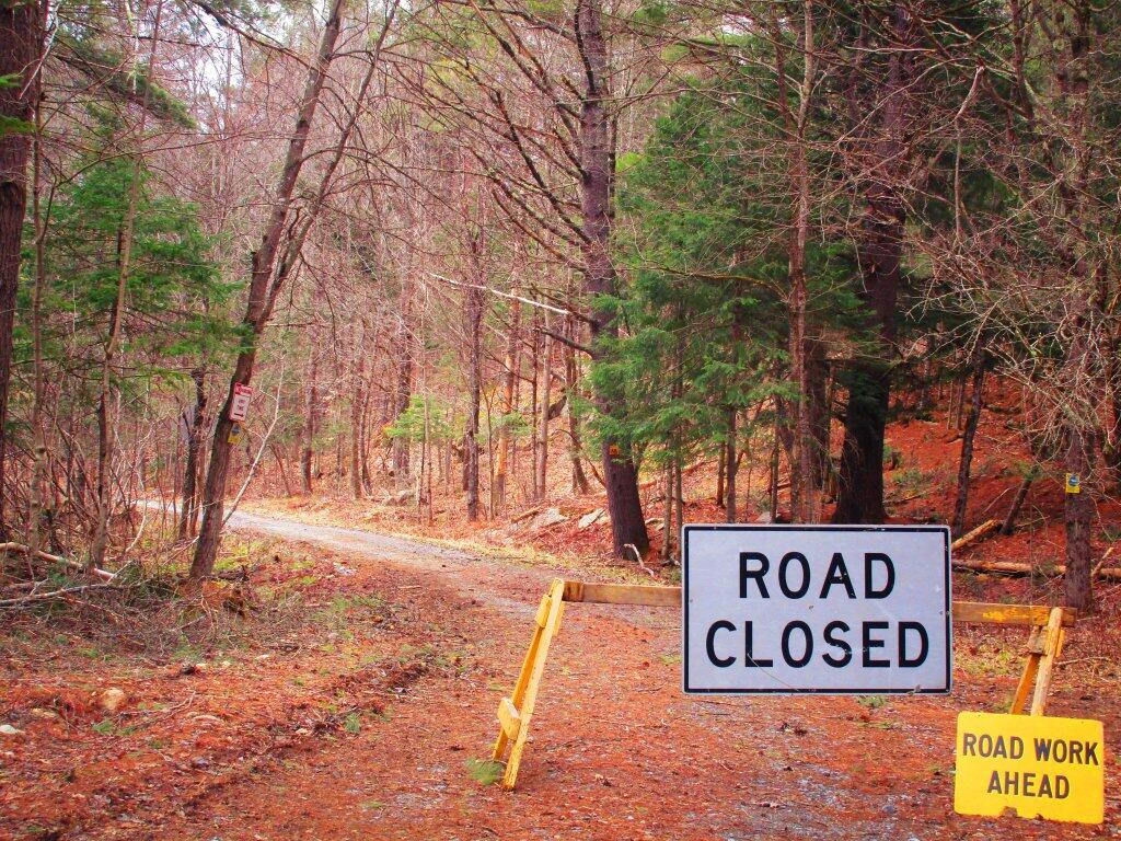

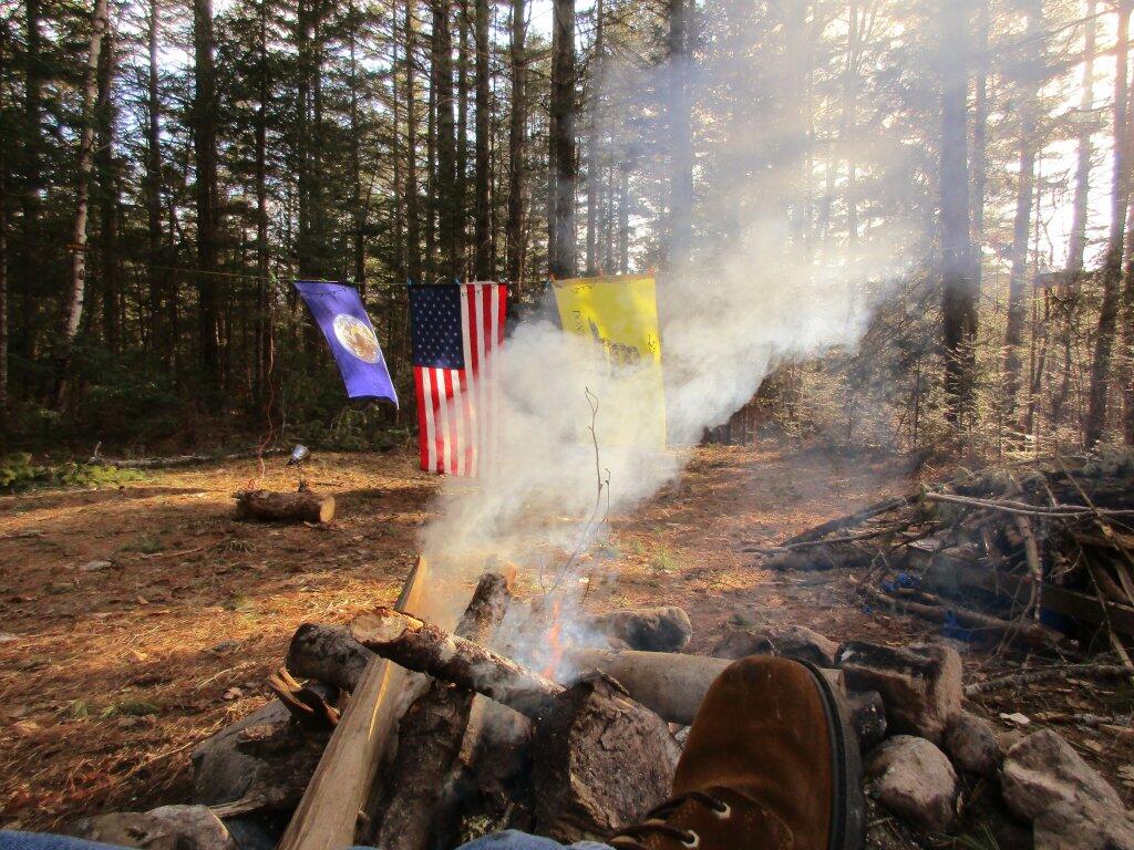
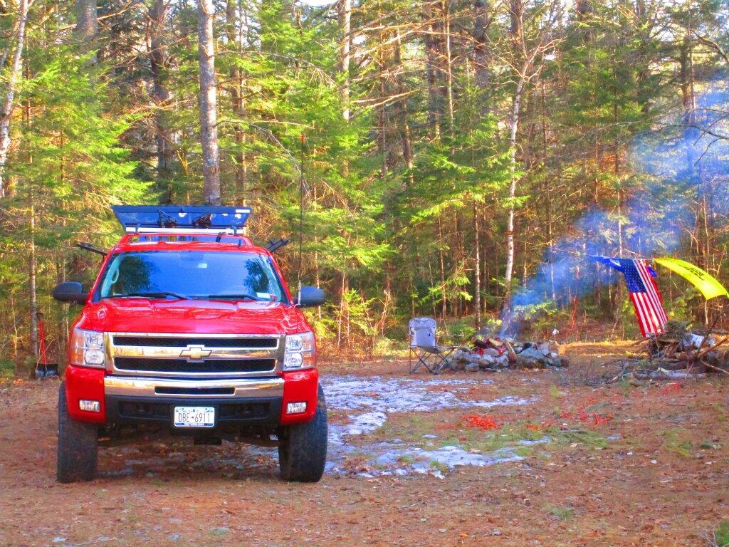
Saturday afternoon was one of burritos, beer, laying in the hammock and staying warm next to the fire as the wind whiped around the mercury level on the themometer was modest.
Saturday April 18, 2020 — East Branch Sacandaga River