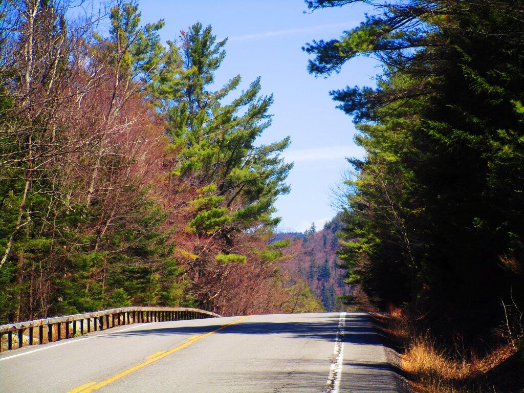
East Branch Sacandaga River 📍

Stretching between Wevertown and Wells along NY 8, the East Branch of Sacandaga River offers a picturesque route hosting roadside campsites and trailheads to secluded spots. While proximity to a well-maintained state highway makes these campsites accessible during shoulder seasons and winter (with snow shovel), traffic noise can be a drawback. The river features noteworthy sites like Griffin Falls, Cod Pond, the captivating Stewart Creek, the ruins of Fox Lair Camp, the East Branch Trail leading to East Branch Falls, and scenic Eleventh Mountain. This scenic drive intertwines nature and exploration, inviting travelers to discover hidden gems along the East Branch of Sacandaga River.

🗺️ Maps 🖼️ Photos 📽️ Videos
SVGZ Graphic: Capital Region Population Density
Map: Mountain House Trail and North Mountain

Kiln

Saturday evening I poked around the old Fox Lair Estate. One of the things I found was a couple of kilns including this one from the tannery, I believe.

Saturday May 2, 2020 — East Branch Sacandaga River
SVGZ Graphic: Best selling Christmas Singles
Map: Lester Flow
Map: Bates State Forest
Map: Mountain House Trail and North Mountain
Map: Tug Hill State Forest (Inman Gulf Area)