Search Results for: "Map:" Gap Mountain

Gap Between Mooreville Range and Irish Mountain

I've always liked driving through that narrow gap that US 30 runs between the Mooreville Range and Irish Mountain in the Catskills. There is a rail trail there, which I tell myself one of these times I should explore, maybe while also camping at Burnt Rossman Hills State Forest.
Allegheny Front

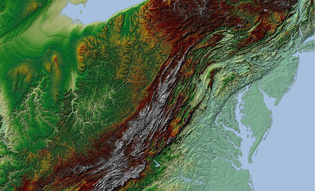
Allegheny Front

The Allegheny Front stands as the prominent escarpment facing southeast or east within the Allegheny Mountains, spanning southern Pennsylvania, western Maryland, and eastern West Virginia in the USA. Serving as a demarcation, the Allegheny Front acts as the dividing line between the Ridge-and-Valley Appalachians to the east and the Appalachian Plateau (often referred to as the Allegheny Plateau) to the west. This geological feature is intimately linked with the Eastern Continental Divide of the Appalachian Mountains. In this region, the Eastern Continental Divide separates the watersheds of the Ohio/Mississippi river system, which flow towards the Gulf of Mexico, from those of rivers that eventually empty into Chesapeake Bay and further into the Atlantic Ocean.

Nonetheless, it's important to note that the Allegheny Front and the Divide don't always perfectly align. For instance, the North Branch of the Potomac River originates significantly west of the Allegheny Front, near the Fairfax Stone located at the southwestern tip of Maryland. It's merely around 10 miles (16 km) away and situated across the physical divide from the headwaters of the Youghiogheny River, which flows westward into the Monongahela and Ohio rivers.

North Fork Gap

A narrow gap in North Fork Mountain, which is one range to the east of Dolly Sods and the Applachian Front and west of Petersburg, WV.

Lewistown Narrows

They managed to fit US 322, PA 333 through this narrow gap in Blue and Shade Mountains.

Waterbury Gap

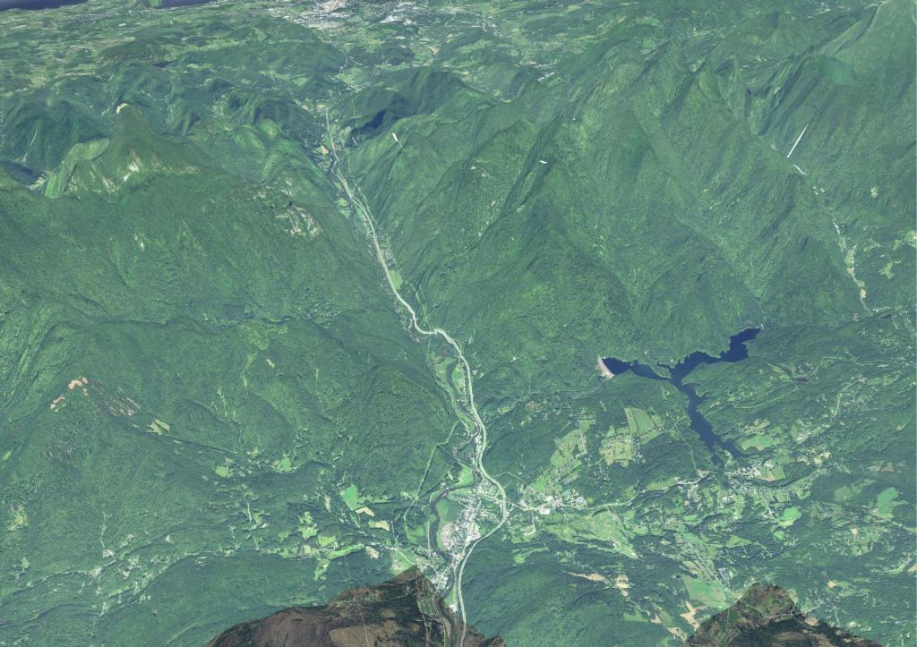
Waterbury Gap

Interstate 89 runs through a narrow break in the Green Mountains along the Winoski River.