Burnt Rossman Hills State Forest
Interactive map showing the forest, along with campsites and the long path.
Interactive map showing the forest, along with campsites and the long path.
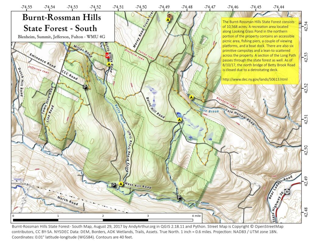
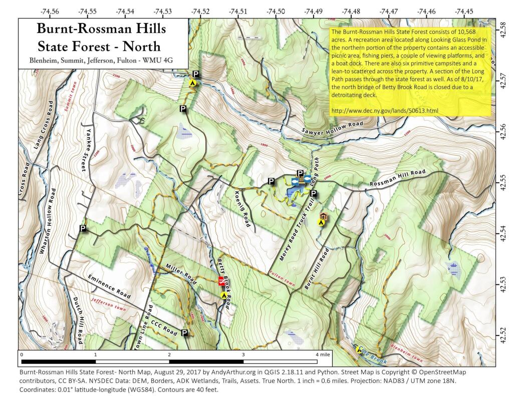
An interactive map of this state forest showing campsites, trails, and roads.
I've always liked driving through that narrow gap that US 30 runs between the Mooreville Range and Irish Mountain in the Catskills. There is a rail trail there, which I tell myself one of these times I should explore, maybe while also camping at Burnt Rossman Hills State Forest.