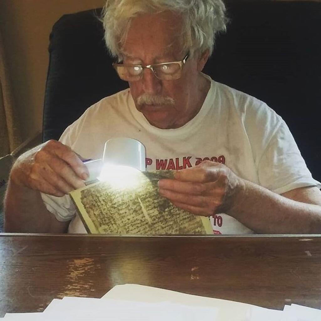
Last weekend with John Wolcott studying and sorting #albanyhistory
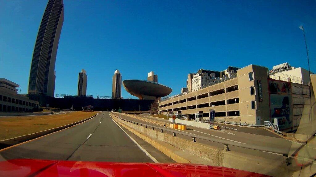
Heading through the Empire Plaza on a quiet afternon during the panademic.
Taken on Thursday April 30, 2020 at Albany, NY.
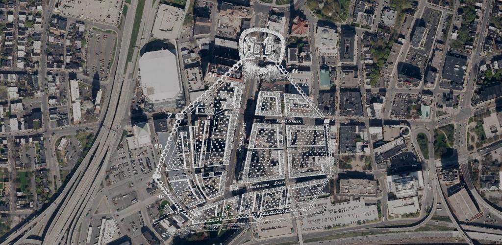
Here is a Map of Albany showing the stockade in 1695, overlaying the contemporary arerial photo of Albany. At the top of the hill, was Fort Frederick sitting atop State Street Hill (Capitol Hill) it replaced the earlier Fort Orange along the Hudson River, offering protection for Pearl Street and lands below it. John Wolcott told me that Pearl Street was likely a corruption of "Peril Street" due to the risk of being shot by invaders down from the top of the hill.
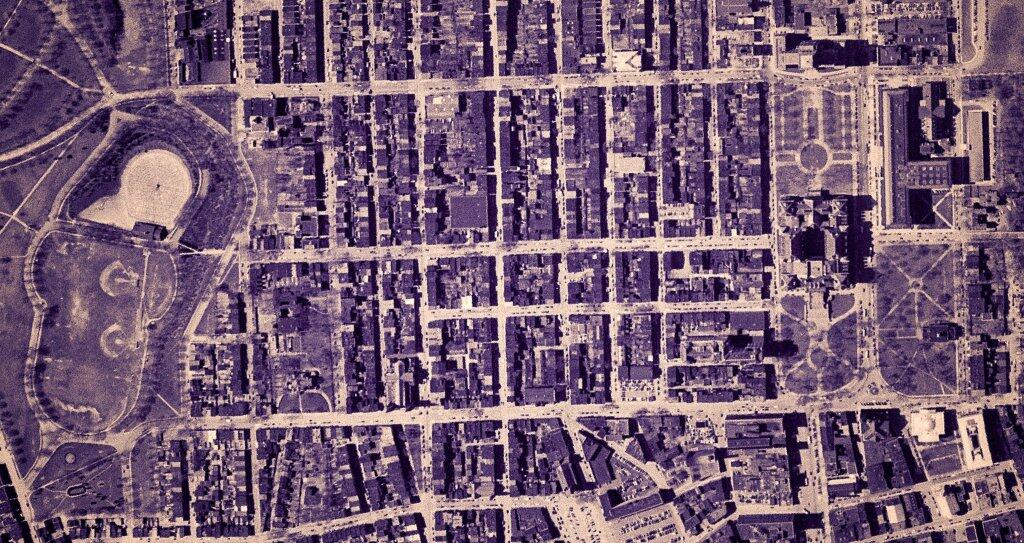
This 1952 aerial photo shows the neighborhood in Albany that would be demolished for the Empire State Plaza, between South Swan Street and Eagle Street. Long forgotten streets, like High Street and South Hawk Street can be found in this dense urban neighbohood which within 10 years would be out by the state, and within 15 years would be entirely carted off to dumping grounds in Glenmont behind Erastus Corning's house near the intersection of US 9W and NY 32.