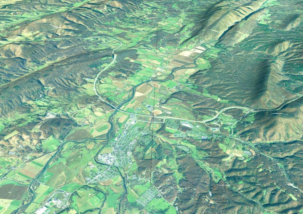
Moorefield, West Virginia
Corridor "H" is the highway prominently shown in the center. It is an elevated highway through the valley. Pilgrim's Pride slaughterhouse is seen in the lower left corner, they process birds grown at farms along the Sweedlin Valley and some of the other agricultural areas in valleys. The river in the center is the Potomac River.