Search Results for: colonie new york
US Route 9 in New York State currently has 11 suffixed routes. 🚗 🛣
U.S. Route 9W (US 9W) (141.83 mi or 228.25 km) is a north–south U.S. Highway in the states of New Jersey and New York. It begins in Fort Lee, New Jersey, as Fletcher Avenue crosses the US 1–9, US 46, and the Interstate 95 (I-95) approaches to the George Washington Bridge, and heads north up the west side of the Hudson River to US 9 in Albany, New York.
NY 9A (47.49 miles or 76.43 kilometres) is an alternate route of US 9 through Manhattan and Westchester County.
NY 9B (5.97 miles or 9.61 kilometres) is a spur in Clinton County linking US 9 in Chazy to US 11 in Rouses Point.
NY 9D (25.21 miles or 40.57 kilometres) is an alternate route of US 9 between the Bear Mountain Bridge and Wappingers Falls.
NY 9G (42.77 miles or 68.83 kilometres) is an alternate route of US 9 from Poughkeepsie, Dutchess County, to Hudson, Columbia County.
NY 9H (18.77 miles or 30.21 kilometres) is an easterly alternate to US 9 between Bell Pond and Valatie.
NY 9J (22.38 miles or 36.02 kilometres) is an alternate route of US 9 from Columbiaville to Rensselaer. NY 9J follows a more westerly alignment than US 9 to serve a series of communities along the Hudson River.
NY 9L (18.54 miles or 29.84 kilometres) is a loop off of US 9 between Glens Falls and Lake George in Warren County.
NY 9N (143.13 miles or 230.35 kilometres) is a lengthy alternate route of US 9 between Saratoga Springs and Keeseville. NY 9N is the longest suffixed route in New York.
NY 9P (12.17 miles or 19.59 kilometres) is a loop route connecting US 9 to Saratoga Lake southeast of Saratoga Springs.
NY 9R (3.21 miles or 5.17 kilometres) is a short loop serving Colonie in northeast Albany County.
Note: This post draws heavily from the Wikipedia article, “US Route 9 in New York”. https://en.m.wikipedia.org/wiki/U.S._Route_9_in_New_York
New York State 1790 Census
The original 16 counties in New York State and their population density. Manhattan (New York County) in 1790 had a population density similar to the Town of Colonie today, while Albany County was closer to the Town of Caroga in Fulton County or Town of Smithville in Chenango County. Dotted overlay shows current county boundaries.
Data and maps from National Historical Geographic Information System / IPMUS
Empire Trail, Erie Canalway, Champlain Valley Trail Parking Areas
| Name | Address | Latitude | Longitude |
|---|---|---|---|
| Mohawk Hudson Bike Hike Trail (Albany to Peebles Island State Park) – 10.8 miles | |||
| Riverfront Garage | 2 Columbia St, Albany, NY 12207 | 42.65149 | -73.74890 |
| Corning Preserve Parking Area | Quay St, Albany, NY 12207 | 42.65346 | -73.74496 |
| Corning Preserve Boat Launch Parking | Water St, Albany, NY 12207 | 42.65612 | -73.74286 |
| Mohawk Hudson Bike Hike Trail | 330 Broadway, Watervliet, NY 12189 | 42.70950 | -73.70495 |
| Peebles Island State Park | 1 Delaware Ave North, Cohoes, NY 12047 | 42.78469 | -73.68042 |
| Waterford Parking Lot | Front St, Waterford, NY 12188 | 42.78592 | -73.67788 |
| Hudson Shores Park | 23rd Street, Watervliet, NY 12189 | 42.73216 | -73.69710 |
| Green Island Trail Parking | 260 Cannon St, Green Island, NY 12183 | 42.75824 | -73.68804 |
| Champlain Canalway Trail (Peebles Island State Park to Halfmoon) – 5.6 miles | |||
| Waterford Harbor Visitor Center | 1 Tugboat Alley, Waterford, NY 12188 | 42.78741 | -73.67902 |
| Park at the Point | 61 South St, Waterford, NY 12188 | 42.78823 | -73.68159 |
| Town of Halfmoon Trailhead Parking | Brookwood Rd, Waterford, NY 12188 | 42.83700 | -73.67586 |
| Town of Halfmoon Trailhead | Upper Newtown Rd, Mechanicville, NY 12118 | 42.86098 | -73.68230 |
| Lighthouse Park Halfmoon | 597 Hudson River Rd, Waterford, NY 12188 | 42.83821 | -73.67215 |
| CCT Parking | Schoolhouse Ln @ Bells Ln, Waterford, NY 12188 | 42.81920 | -73.67628 |
| On-Road Section (Halfmoon to Schuylerville) – 18.7 miles | |||
| Zim Smith East Trailhead | 1044 Elizabeth St Exd, Mechanicville, NY 12118 | 42.90909 | -73.70276 |
| Champlain Canalway Trail (Schuylerville to Fort Miller) – 6.7 miles | |||
| Old Schuylerville Junction Lock | County Rt 42, Schuylerville, NY 12871 | 43.11263 | -73.57849 |
| Hudson Crossing Park | Co Rd 42, Schuylerville, NY 12871 | 43.11456 | -73.57742 |
| Schuylerville Visitor Center | 30 Ferry St, Schuylerville, NY 12871 | 43.10001 | -73.57954 |
| Fort Hardy Park | Reds Rd, Schuylerville, NY 12871 | 43.10025 | -73.57857 |
| Champlain Canalway Trail (Fort Edward to Fort Ann) – 11.9 miles | |||
| Fort Edward Adult Exercise Park | 39 Mc Intyre St, Fort Edward, NY 12828 | 43.27362 | -73.57990 |
| Feeder Canal Trail Parking | Towpath Ln, Fort Edward, NY 12828 | 43.28390 | -73.56889 |
| Champlain Canalway Trail Parking | Baldwin Corners Rd, Fort Ann, NY 12827 | 43.39027 | -73.48666 |
| Champlain Canal Lock C-9 | 2450 NY-149, Fort Ann, NY 12827 | 43.35247 | -73.49676 |
| Champlain Canalway Trail | New Swamp Rd, Hudson Falls, NY 12839 | 43.33236 | -73.51177 |
| Feeder Canal Trail Parking | 2425 Burgoyne Ave, Hudson Falls, NY 12839 | 43.29780 | -73.56977 |
| Champlain Canalway Trail (Fort Ann to Comstock) – 5.1 miles | |||
| Fort Ann Canal Park | Ann St, Fort Ann, NY 12827 | 43.41416 | -73.48546 |
| Champlain On-Road Bicycle Route (Whitehall to Ticonderoga) – 25.5 miles | |||
| TR41-Whitehall NEW | Skenesborough Dr, Whitehall, NY 12887 | 43.55176 | -73.40285 |
| Champlain On-Road Bicycle Route (Ticonderoga to Westport) – 26.8 miles | |||
| Bicentennial Park | McCormick St, Ticonderoga, NY 12883 | 43.84908 | -73.42144 |
| Westport Trailhead | Main St (Route 9N), Westport, NY 12993 | 44.18174 | -73.43264 |
| Champlain On-Road Bicycle Route (Westport to Keeseville) – 30.8 miles | |||
| Keeseville Trailhead | Front St, Keeseville, NY12944 | 44.50545 | -73.48007 |
| Champlain On-Road Bicycle Route (Keeseville to Plattsburgh) – 14.1 miles | |||
| Terry Gordon Bike Path | Nevada Oval, Plattsburgh, NY 12901 | 44.67275 | -73.44310 |
| Champlain On-Road Bicycle Route (Plattsburgh to Rouses Point) – 25.8 miles | |||
| Plattsburgh Public Parking | Green St, Plattsburgh, NY 12901 | 44.69910 | -73.44864 |
| Terry Gordon Bike Path | Hamilton & Jay St, Plattsburgh, NY 12901 | 44.69380 | -73.44494 |
| Rouses Point Trailhead | 39 Lake St, Rouses Point, NY 12979 | 44.99658 | -73.36542 |
| Shoreline Trail – 8 miles | |||
| Fishing and Kayaking | South St, Buffalo, NY 14204 | 42.86554 | -78.86801 |
| Buffalo Harbor State Park Boat Launch | 1111 Fuhrmann Boulevard, Buffalo, NY 14203 | 42.84629 | -78.86315 |
| Tifft Nature Preserve | 1200 Fuhrmann Boulevard, Buffalo, NY 14203 | 42.84627 | -78.85944 |
| Buffalo Harbor State Park | 1111 Fuhrmann Boulevard, Buffalo, NY 14203 | 42.84517 | -78.86158 |
| Shoreline Trail (Buffalo) – 8 miles | |||
| Lasalle Park | DAR Drive, Buffalo, NY 14202 | 42.89368 | -78.89556 |
| Erie Canalway Trail (Tonawanda to Amherst) – 9.4 miles | |||
| Tonawanda EST Gateway | 72 E Niagara St, Tonawanda, NY 14150 | 43.02244 | -78.87073 |
| Shoreline Trail (Buffalo to Tonawanda) – 9.4 miles | |||
| Riverwalk Parking | 200 Niagara St, Tonawanda, NY 14150 | 43.01935 | -78.88756 |
| Niawanda Park | 200 Niagara St, Tonawanda, NY 14150 | 43.01781 | -78.88921 |
| Riverwalk Parking | 200 Niagara St, Tonawanda, NY 14150 | 43.01549 | -78.89387 |
| Niawanda Park | Shoreline Trail, Tonawanda, NY 14150 | 43.01300 | -78.90021 |
| Niawanda Park | 600 Niagara St, Tonawanda, NY 14150 | 43.01111 | -78.90557 |
| Niawanda Park | 600 Niagara St, Tonawanda, NY 14150 | 43.00952 | -78.91018 |
| Niawanda Park | 600 Niagara St, Tonawanda, NY 14150 | 43.00837 | -78.91334 |
| Niawanda Park | 600 Niagara St, Tonawanda, NY 14150 | 43.00715 | -78.91629 |
| Isle View County Park | 796 Niagara St, Tonawanda, NY 14150 | 43.00175 | -78.92581 |
| Aqua Lane Park | 128 Aqua Ln, Tonawanda, NY 14150 | 42.96398 | -78.92198 |
| Black Rock Harbor Road | Fort Ontario, Buffalo, NY 14207 | 42.94669 | -78.90924 |
| Black Rock Canal Park | Aqua Ln, Buffalo, NY 14207 | 42.94531 | -78.90952 |
| Ontario Boat Launch Dog Park | Fort Ontario, Buffalo, NY 14207 | 42.94442 | -78.90943 |
| Shoreline Trail – 9.4 miles | |||
| Towpath Park | Hertel Ave, Buffalo, NY 14207 | 42.93993 | -78.90773 |
| Erie Canalway Trail (Tonawanda to Amherst) – 10 miles | |||
| Buffalo Niagara Heritage Village | 3755 Tonawanda Creek Rd, Amherst, NY 14228 | 43.08452 | -78.72916 |
| Nature View Park Entrance | 1087 Tonawanda Creek Rd, Buffalo, NY 14228 | 43.06125 | -78.80003 |
| Creekside Drive Picnic Area | Creekside Dr, Tonawanda, NY 14150 | 43.02968 | -78.82829 |
| Creekside Drive Picnic Area | Creekside Dr, Tonawanda, NY 14150 | 43.02484 | -78.83238 |
| Amherst Veterans Canal Park | Tonawanda Creek Rd, Amherst, NY 14228 | 43.06492 | -78.80158 |
| Erie Canalway Trail (Amherst to Lockport) – 7.2 miles | |||
| Lockport Canal Bike Trail | 151-217 State Rd, Lockport, NY 14094 | 43.16407 | -78.70088 |
| East Canal Road Parking | E Canal Rd, Lockport, NY 14094 | 43.13259 | -78.72467 |
| Erie Canalway Trail Parking | 5557-5599 Feigle Rd, Lockport, NY 14094 | 43.11317 | -78.73737 |
| Erie Canalway Trail (Lockport to Middleport) – 12 miles | |||
| Erie Canalway Trail | Day Rd & N Canal Rd, Lockport, NY 14094 | 43.19173 | -78.64967 |
| Erie Canalway Trail Parking | 7839 LA-57, Lockport, NY 14094 | 43.18668 | -78.66616 |
| Erie Canalway Trail Parking | Peet St, Middleport, NY 14105 | 43.21479 | -78.50538 |
| Erie Canalway Trail Parking | Hartland Rd, Gasport, NY 14067 | 43.19985 | -78.57615 |
| Lockport Gateway Parking | Canal St, Lockport, NY 14094 | 43.17069 | -78.69381 |
| Erie Canalway Trail (Middleport to Albion) – 18.8 miles | |||
| Erie Canalway Trail Parking | Bates Rd, Medina, NY 14103 | 43.23052 | -78.37135 |
| Erie Canalway Trail Parking | Horan Rd, Medina, NY 14103 | 43.22577 | -78.38031 |
| Erie Canalway Trail Parking | North Gravel Rd, Medina, NY 14103 | 43.22573 | -78.39221 |
| Middleport Trailhead | Front St, Middleport, NY 14105 | 43.21348 | -78.47537 |
| Erie Canalway Trail Parking | N Main St, Albion, NY 14411 | 43.24927 | -78.19254 |
| Erie Canalway Trail (Albion to Brockport) – 11.4 miles | |||
| Sans Souci Canal Park | 4159 County Line Rd, Brockport, NY 14420 | 43.22226 | -77.99676 |
| Erie Canalway Trail Parking | 1 Holley Falls Park Rd, Holley, NY 14470 | 43.22795 | -78.02189 |
| Erie Canalway Trail Parking | Densmore Rd, Albion, NY 14411 | 43.25000 | -78.13532 |
| Brockport Trailhead | Redman Rd (Rt 31), Brockport, NY 14420 | 43.21436 | -77.96716 |
| Erie Canalway Trail Parking | N Main St, Brockport, NY 14420 | 43.21703 | -77.93834 |
| Erie Canalway Trail (Brockport to Rochester) – 19.2 miles | |||
| Erie Canalway Trail | N Union St (Rt 259), Spencerport, NY 14559 | 43.19388 | -77.80052 |
| Erie Canalway Trail Access | Lee Rd, Rochester, NY 14606 | 43.17123 | -77.68022 |
| Greece Canal Park | 343 Elmgrove Rd, Rochester, NY 14626 | 43.19127 | -77.73625 |
| Greece Canal Park | 343 Elmgrove Rd, Rochester, NY 14626 | 43.19877 | -77.73751 |
| Henpeck Park | 2901 Ridgeway Ave, Rochester, NY 14626 | 43.18833 | -77.73134 |
| Genesee Valley Park | 149 Elmwood Ave, Rochester, NY 14611 | 43.12358 | -77.64017 |
| Erie Canalway Trail (Rochester to Fairport) – 14.7 miles | |||
| Erie Canalway Trail Parking | Marsh Rd, Pittsford, NY 14534 | 43.07433 | -77.49283 |
| Great Embankment Park | Marsh Rd, Pittsford, NY 14534 | 43.07355 | -77.49023 |
| Lock 32 Canal Park | 2759 Clover St, Pittsford, NY 14534 | 43.09300 | -77.54798 |
| Meridian Centre Park | 2025 Meridian Centre Blvd, Rochester, NY 14618 | 43.10523 | -77.59538 |
| Erie Canalway Trail Parking | S Clinton St, Rochester, NY 14618 | 43.10621 | -77.59950 |
| Erie Canalway Trail Parking | 3 Schoen Pl, Pittsford, NY 14534 | 43.09200 | -77.51250 |
| Genesee Valley Park | Hawthorne Dr, Rochester, NY 14620 | 43.11628 | -77.63802 |
| Lock 33 Canal Park Trailhead | 1159-1175 Edgewood Ave, Rochester, NY 14618 | 43.09616 | -77.56898 |
| Perinton Community Park | 99 O’Connor Rd, Fairport, NY 14450 | 43.10078 | -77.45640 |
| Genesee Valley Park Gateway | Moore Rd, Rochester, NY 14620 | 43.11977 | -77.63706 |
| Erie Canalway Trail (Fairport to Palmyra) – 10.2 miles | |||
| Erie Canalway Trail Parking | Wayneport Rd, Macedon, NY 14502 | 43.07609 | -77.36101 |
| Erie Canalway Trail Parking | Cobb’s Ln, Fairport, NY 14450 | 43.09620 | -77.43081 |
| Macedon Bridge Parking | O’Neil Rd, Macedon, NY 14502 | 43.07035 | -77.28931 |
| Erie Canalway Trail (Palmyra to Newark) – 10.2 miles | |||
| Pal-Mac Park | 555 W Main St, Palmyra, NY 14522 | 43.06407 | -77.24792 |
| Erie Canalway Trail (Palmyra to Newark) – 9.6 miles | |||
| Harder Canal Park | West Shore Rd, Newark, NY 14513 | 43.05272 | -77.12667 |
| On-Street Parking | Van Buren St, Newark, NY 14513 | 43.04786 | -77.09380 |
| Swift Landing County Park | Hogback Hill Rd, Palmyra, NY 14522 | 43.06683 | -77.18848 |
| Palmyra Marina | Division St, Palmyra, NY 14522 | 43.06573 | -77.22933 |
| Erie Canalway Trail (Newark to Savannah) – 20.4 miles | |||
| Galen Boat Launch | Water St, Clyde, NY 14433 | 43.08016 | -76.87079 |
| Abbey Park Trailhead | 177 Water St, Lyons, NY 14489 | 43.06384 | -77.00222 |
| Erie Canalway Trail Parking | Old Lyons Rd, Newark, NY 14513 | 43.06357 | -77.02061 |
| Lock 28B Canal Park | 106 N Clinton St, Newark, NY 14513 | 43.04724 | -77.08449 |
| Empire State Bicycle Route (Savannah to Port Byron) – 10.2 miles | |||
| Old Erie Canal Heritage Park | 1575 Rooker Dr, Port Byron, NY 13140 | 43.03579 | -76.63501 |
| Erie Canalway Trail (Port Byron to Camillus) – 20.2 miles | |||
| Nancy Brown Wildlife Sanctuary | Warners Rd, Camillus, NY 13031 | 43.06302 | -76.26889 |
| Lock 51 Parking | Route 31, Jordan, NY 13080 | 43.06668 | -76.49592 |
| Erie Canalway Trail Parking | Route 31 (Erie Dr), Weedsport, NY 13166 | 43.04336 | -76.57577 |
| Nine Mile Creek Aqueduct | Thompson Rd, Camillus, NY 13031 | 43.05869 | -76.28733 |
| Erie Canal Park | 5750 Devoe Rd, Camillus, NY 13031 | 43.05262 | -76.30320 |
| Warners Park | Newport Rd, Warners, NY 13164 | 43.07605 | -76.32720 |
| Schasel Park Trailhead | 20-28 Utica St, Port Byron, NY 13140 | 43.03748 | -76.61930 |
| Empire State Trail (Camillus to Syracuse) – 9.2 miles | |||
| Inner Harbor Creekwalk | W Kirkpatrick St, Syracuse, NY 13204 | 43.05922 | -76.16602 |
| Gere Lock Parking | Horan Rd, Syracuse, NY 13209 | 43.06878 | -76.23436 |
| Loop the Lake Trail | 280 Restoration Way, Syracuse, NY 13209 | 43.06680 | -76.19696 |
| Creekwalk Parking | Bear St W, Syracuse, NY 13204 | 43.06129 | -76.16960 |
| State Fairgrounds Trailhead | Gate 2 State Fair Blvd, Syracuse, NY 13209 | 43.07324 | -76.21563 |
| Reed Webster Park | Warners Rd, Camillus, NY 13031 | 43.06405 | -76.26878 |
| Erie Canalway Trail (DeWitt to Chittenango) – 10.6 miles | |||
| Cedar Bay Park | Lyndon Rd, Fayetteville, NY 13066 | 43.04328 | -76.03750 |
| Old Erie Canal State Park – Minoa | Green Lakes Rd, Fayetteville, NY 13066 | 43.05389 | -76.00029 |
| Old Erie Canal State Park | N Burdick St, East Syracuse, NY 13057 | 43.04350 | -76.02227 |
| Old Erie Canal State Park | Kirkville Rd N, Kirkville, NY 13082 | 43.07030 | -75.94932 |
| Old Erie Canal State Park – Poolsbrook | Andrus Rd, Kirkville, NY 13082 | 43.07335 | -75.92142 |
| DeWitt – Old Erie Canal State Park | Butternut Dr, East Syracuse, NY 13057 | 43.04440 | -76.05074 |
| Erie Canalway Trail (Chittenango to Erie Canal Lock 21) – 19.6 miles | |||
| Old Erie Canal State Park | Beebe Bridge Rd, Canastota, NY 13032 | 43.07399 | -75.78531 |
| Old Erie Canal State Park | N Court St, Canastota, NY 13032 | 43.08891 | -75.71069 |
| Old Erie Canal State Park – Chittenango | Lakeport Rd, Chittenango, NY 13037 | 43.06041 | -75.87072 |
| Erie Canalway Trail (Erie Canal Lock 21 to Rome) – 9.3 miles | |||
| Empire State Heritage Park | NY-46, Rome, NY 13440 | 43.22640 | -75.50188 |
| Erie Canalway Trail (Rome to Utica) – 16.5 miles | |||
| Erie Canalway Trail | Mohawk St, Marcy, NY 13403 | 43.13433 | -75.27838 |
| Lock 20 Trailhead | 5842 NY-291, Marcy, NY 13403 | 43.14433 | -75.29771 |
| Oriskany Flats Wildlife Management Area | Oriskany Rd (Rt 32), Oriskany, NY 13424 | 43.16634 | -75.32525 |
| Erie Canalway Trail Parking | NY-69, Oriskany, NY 13424 | 43.16014 | -75.33278 |
| Erie Canalway Trail Parking | Rome Oriskany Road, Rome, NY 13440 | 43.19383 | -75.43258 |
| Bellmay Harbor Park | 139 E Whitesboro St #111, Rome, NY 13440 | 43.20229 | -75.44865 |
| Erie Canalway Trial Parking | E Whitesboro St, Rome, NY 13440 | 43.20200 | -75.45406 |
| Gyziec Field Parking | S James St & Muck Rd, Rome, NY 13440 | 43.20253 | -75.46768 |
| NYSCC-Utica | 39-99 Harbor Lock Rd E, Utica, NY 13502 | 43.11242 | -75.21740 |
| Erie Canalway Trail (Frankfort to Little Falls) – 10.8 miles | |||
| Mohawk Boat Launch | 102 E Main St, Mohawk, NY 13407 | 43.01485 | -74.99466 |
| Ilion Marina | 190 Central Ave, Ilion, NY 13357 | 43.02058 | -75.03039 |
| German Flatts Town Park | 575 NY-5S, Mohawk, NY 13407 | 43.01797 | -74.95521 |
| Erie Canalway Trail Parking | W Shore St, Little Falls, NY 13365 | 43.03757 | -74.86073 |
| Erie Canal Lock E-18 | State Route 5S, Mohawk, NY 13407 | 43.01600 | -74.91772 |
| Erie Canalway Trail (Little Falls to Canajoharie) – 18.7 miles | |||
| Erie Canalway Trail Parking | Bridge St @ S Saint Johnsville Rd, Fort Plain, NY 13339 | 42.99223 | -74.68075 |
| Canajoharie Trailhead | Old Fort Plain Rd, Canajoharie, NY 13317 | 42.90505 | -74.58544 |
| Herkimer Home SHS | 200 NY-169, Little Falls, NY 13365 | 43.02756 | -74.81748 |
| Erie Canalway Trail (Canajoharie to Amsterdam) – 22.9 miles | |||
| Canalway Bike Parking Lot | Bridge St, Amsterdam, NY 12010 | 42.93480 | -74.19961 |
| Auriesville Pilgrimage Lunch Area | Queen Anne Road, Amsterdam, NY 12010 | 42.95260 | -74.23838 |
| Schoharie Crossing State Historic Site | 129 Schoharie St, Fort Hunter, NY 12069 | 42.93994 | -74.28280 |
| Erie Canalway Trail (Amsterdam to Schenectady) – 16.9 miles | |||
| Erie Canalway Trail Parking | Rice Rd, Schenectady, NY 12306 | 42.81765 | -73.98462 |
| Lock 8 Park | 106 Rice Rd, Schenectady, NY 12306 | 42.82872 | -73.99157 |
| Rotterdam Kiwanis Park | Route 5S, Rotterdam, NY 12306 | 42.84652 | -74.01414 |
| Erie Canalway Trail Parking | Route 5S (River Rd), Pattersonville, NY 12137 | 42.89111 | -74.08159 |
| Mohawk River Gateway | 1 Bridge St, Amsterdam, NY 12010 | 42.93520 | -74.19560 |
| Erie Canalway Trail (Schenectady to Niskayuna) – 10.9 miles | |||
| Lions Park | 3439 Rosendale Rd, Niskayuna, NY 12309 | 42.77743 | -73.82407 |
| Lock 7 Park | Lock 7 Rd, Schenectady, NY 12309 | 42.80253 | -73.84749 |
| Jeff Blatnick Park | River Rd, Schenectady, NY 12309 | 42.81600 | -73.86341 |
| Erie Canalway Trail (Niskayuna to Green Island) – 10.5 miles | |||
| MHBHT Parking | 27 Alexander St, Cohoes, NY 12047 | 42.76083 | -73.70414 |
| Erie Canalway Trail (Niskayuna to Cohoes) – 10.5 miles | |||
| MHBHT Parking | Loudon Rd, Cohoes, NY 12047 | 42.79801 | -73.73423 |
| Colonie Mohawk River Park | 71 Schermerhorn Rd, Cohoes, NY 12047 | 42.79498 | -73.74503 |
| Mohawk Riverside Landing Park | 4071 River Rd, Schenectady, NY 12309 | 42.77184 | -73.81475 |
| Manhattan Greenway Trail (The Battery to Inwood Hill) – 13 miles | |||
| Riverside Park (limited parking) | Henry Hudson Pkway Northbound @ W 96th St, Manhattan, NY 10025 | 40.79789 | -73.97613 |
| NYC On-Road Section (Inwood Hill to Van Cortlandt Park) – 3 miles | |||
| Manhattan Greenway Trail On-Street Parking | 348 Dyckman St, New York, NY 10034 | 40.86824 | -73.93033 |
| Bronx and Westchester South County Trail (Van Cortlandt Park to Elmsford) – 13.6 miles | |||
| HF Redmond Park | Redmond Park, Yonkers, NY 10701 | 40.93827 | -73.86921 |
| South County Trail Parking | 132 Tuckahoe Rd, Yonkers, NY 10701 | 40.95519 | -73.86624 |
| South County Trail Parking | Farragut Ave, Hastings-On-Hudson, NY 10706 | 40.98298 | -73.86601 |
| Great Hunger Memorial (VE Macy Park) | Saw Mill River Parkway, Elmsford, NY 10523 | 41.02507 | -73.84579 |
| Tibbets Brook Park | 355 Midland Ave, Yonkers, NY 10704 | 40.92976 | -73.87722 |
| Van Cortlandt Park | Van Cortlandt Park S, The Bronx, NY 10463 | 40.88900 | -73.89336 |
| Tibbets Brook Park | 355 Midland Ave, Yonkers, NY 10704 | 40.93049 | -73.87427 |
| South County Trail Parking | Grey Oaks Ave, Yonkers, NY 10710 | 40.97597 | -73.86766 |
| On-Street Parking | Broadway @ W 242nd St, Bronx, NY 10471 | 40.88919 | -73.89824 |
| Westchester North County Trail (Elmsford to New Castle) – 9.8 miles | |||
| South County Trail Parking | Old Saw Mill River Rd (Route 303), Elmsford, NY 10523 | 41.08039 | -73.82943 |
| Tarrytown Lakes Park | 209 Neperan Rd, Tarrytown, NY 10591 | 41.07811 | -73.84834 |
| Park and Ride Lot | Old Saw Mill River Rd (Route 303), Elmsford, NY 10523 | 41.08239 | -73.83067 |
| North County Trail Parking | Bedford Rd (Route 117), Pleasantville, NY 10570 | 41.12339 | -73.81113 |
| Walter Law Memorial Park | Library Rd, Briarcliff Manor, NY 10510 | 41.14573 | -73.82451 |
| North County Trail Parking | Route 100/N State Rd, Ossining, NY 10562 | 41.17522 | -73.81163 |
| Westchester Landing (Gov. Mario M. Cuomo Bridge) | 333 S Broadway, Tarrytown, NY 10591 | 41.06540 | -73.86343 |
| Rockland Landing (Gov. Mario M. Cuomo Bridge) | 267 S Broadway, Nyack, NY 10960 | 41.08169 | -73.92205 |
| Westchester North County Trail & Putnam Trailway (New Castle to Mahopac) – 16.1 miles | |||
| Mahopac Park and Ride | Bucks Hollow Rd, Mohopac, NY 10541 | 41.37285 | -73.73082 |
| Putnam Trailway Parking | Mt Hope Rd, Mahopac, NY 10541 | 41.37291 | -73.72876 |
| North County Trail Parking | Station Rd (Route 133), Chappaqua, NY 10514 | 41.18680 | -73.80079 |
| Millwood Municipal Parking | Route 133/Station Rd, Chappaqua, NY 10514 | 41.18968 | -73.79717 |
| North County Trail Parking | Route 118 (Saw Mill River Rd), Yorktown Heights, NY 10598 | 41.23136 | -73.77910 |
| Yorktown Municipal Parking | Kear St, Yorktown Heights, NY 10598 | 41.27055 | -73.77999 |
| Yorktown Heights Parking | 363 Underhill Ave, Yorktown Heights, NY 10598 | 41.26911 | -73.78163 |
| Junior Lake Park | 1939 Edgewater St, Yorktown Heights, NY 10598 | 41.27637 | -73.77495 |
| North County Trail Parking | Route 118-Tomahawk St, Baldwin Place, NY 10505 | 41.34469 | -73.75518 |
| Bucks Hollow Rd Parking | Bucks Hollow Rd (Off Route 6), Mahopac, NY 10541 | 41.36744 | -73.73981 |
| Putnam Trailway (Mahopac to Brewster) – 8 miles | |||
| Putnam Trailway Parking | Mud Pond Rd, Mohapac, NY 10541 | 41.37876 | -73.72301 |
| Putnam Trailway Parking | Willow Rd, Carmel Hamlet, NY 10512 | 41.41461 | -73.68627 |
| Putnam Trailway Parking | 30 Tilly Foster Rd, Brewster, NY 10509 | 41.41327 | -73.63908 |
| Carmel Hamlet Parking | 1808 US-6 (Stoneleigh Ave), Carmel Hamlet, NY 10512 | 41.41868 | -73.67240 |
| Maybrook Trailway (Brewster to Pawling) – 9.3 miles | |||
| Maybrook Trailway Parking – Lake Tonetta | 146 Pumphouse Rd, Brewster, NY 10509 | 41.41778 | -73.61374 |
| Maybrook Trailway (Pawling to Hopewell Junction) – 14.8 miles | |||
| Maybrook Trailway Parking | South Green Haven Rd, Poughquag, NY 12570 | 41.57587 | -73.70843 |
| Maybrook Trailway Parking | 237 NY-292, Pawling, NY 12531 | 41.52423 | -73.64727 |
| Dutchess Rail Trail (Hopewell Junction to Poughkeepsie) – 13.6 miles | |||
| Dutchess Rail Trail Parking | Diddell Rd, Wappingers Falls, NY 12590 | 41.62286 | -73.85113 |
| Dutchess Rail Trail Parking | Van Wyck Lane, Wappingers Falls, NY 12590 | 41.60340 | -73.83655 |
| Dutchess Rail Trail Parking | Railroad Ave, Hopewell Junction, NY 12533 | 41.58550 | -73.80697 |
| Victor Waryas Park | 75 N Water St, Poughkeepsie, NY 12601 | 41.70748 | -73.94009 |
| Waryas Park | 75 N Water St, Poughkeepsie, NY 12601 | 41.70700 | -73.93943 |
| Morgan Lake Park | 51 Creek Rd, Poughkeepsie, NY 12601 | 41.71728 | -73.90699 |
| Overocker Rd Parking Area | Overocker Rd, Arlington, NY 12603 | 41.69363 | -73.88423 |
| Old Manchester Rd Trail Parking | Old Manchester Rd, Poughkeepsie, NY 12603 | 41.68336 | -73.86533 |
| LaGrange Trail Parking | Old Machester Rd, Poughkeepsie, NY 12603 | 41.68297 | -73.86347 |
| Dutchess Rail Trail Parking | 258 Titusville Rd, Poughkeepsie, NY 12603 | 41.65609 | -73.85640 |
| Dutchess Rail Trail Parking | Lake Walton Rd, Hopewell Junction, NY 12533 | 41.60174 | -73.83602 |
| Walkway Over the Hudson | 61 Parker Ave, Poughkeepsie, NY 12601 | 41.71244 | -73.92491 |
| Love Rd Parking Area | 35-99 Love Rd, Arlington, NY 12603 | 41.69878 | -73.88619 |
| Hudson Valley Rail Trail (Lloyd to New Paltz) – 10.5 miles | |||
| Hudson Valley Rail Trail | Haviland Rd Lot, Highland, NY 12528 | 41.71032 | -73.95717 |
| Hudson Valley Rail Trail | Commercial Ave, Highland, NY 12528 | 41.71906 | -73.96886 |
| Hudson Valley Rail Trail | New Paltz Rd, Highland, NY 12528 | 41.73418 | -73.97483 |
| Tony Williams Park | S Riverside Rd, Highland, NY 12528 | 41.73595 | -74.00204 |
| HRVT South St Parking | 565-557 NY-299, Highland, NY 12528 | 41.73749 | -74.03449 |
| Walkway Over the Hudson | 87 Haviland Rd, Highland, NY 12528 | 41.71027 | -73.95510 |
| Sojourner Truth Park | 55 Plains Rd, New Paltz, NY 12561 | 41.74322 | -74.09299 |
| Wallkill Valley Rail Trail (New Paltz to South Kingston) – 13.2 miles | |||
| DEC Wallkill Boat Launch | 395 Springtown Rd, New Paltz, NY 12561 | 41.80199 | -74.08566 |
| WVRT Binnewater Parking | 720 Binnewater Rd, Rosendale, NY 12472 | 41.84813 | -74.08809 |
| Ulster County Municipal Parking | North Chestnut St, New Paltz, NY 12561 | 41.75464 | -74.08436 |
| Wallkill Valley Rail Trail | Rt 32 and Rockwell Ln, Kingston, NY 12401 | 41.91026 | -74.02140 |
| WVRT Parking | Coffey Rd, New Paltz, NY 12561 | 41.78143 | -74.09244 |
| Municipal Parking Lot | Huguenot St, New Paltz, NY 12561 | 41.75075 | -74.08973 |
| Kingston Section (South Kingston – East Kingston) – 6.7 miles | |||
| City of Kingston Public Parking | Dock St, Kingston, NY 12401 | 41.91696 | -73.98465 |
| West Strand Park Parking | E Strand St, Kingston, NY 12401 | 41.91834 | -73.98221 |
| Rondout Landing Street Parking | Rondout Lndg, Kingston, NY 12401 | 41.91917 | -73.98089 |
| Kingston Pt Rail Trail Parking | East Chestnut St, Kingston, NY 12401 | 41.92687 | -73.99380 |
| Kingston Point Beach | Delaware Ave Parking Lot, Kingston, NY 12401 | 41.92991 | -73.96511 |
| Hudson Valley On-Road Section (East Kingston to Tivoli) – 11.9 miles | |||
| Poets Walk Park | 776 River Rd, Red Hook, NY 12571 | 41.98197 | -73.91851 |
| Tivoli Community Lot | Broadway, Tivoli, NY 12583 | 42.05881 | -73.91215 |
| Tivoli Bays Wildlife Management Area | Off Kidd Lane, Tivoli, NY 12583 | 42.03886 | -73.91442 |
| Hudson Brickyard Trail | John St, Kingston, NY 12401 | 41.95186 | -73.96395 |
| Tivoli Bays Wildlife Management Area | Kidd Lane, Tivoli, NY 12583 | 42.04595 | -73.90676 |
| Kingston-Rhinecliff Bridge Toll Plaza | State Route 199 (NY-199), Kingston, NY 12402 | 41.98025 | -73.96296 |
| Kingston-Rhinecliff Bridge East Approach Parking | State Route 199 (NY-199), Kingston, NY 12402 | 41.97267 | -73.92535 |
| Hudson Valley On-Road Section (Tivoli to Olana) – 16.1 miles | |||
| Clermont State Historic Site | 1 Clermont Ave, Germantown, NY 12526 | 42.08409 | -73.91881 |
| Germantown Municipal Parking | 189 Main St, Germantown, NY 12526 | 42.13217 | -73.88266 |
| Hudson Valley On-Road Section (Olana to Hudson) – 6.7 miles | |||
| Hudson Trailhead | N 2nd St & Dock St, Hudson, NY 12534 | 42.25761 | -73.78941 |
| Hudson Skywalk Trailhead | Routes 9G and 23, Hudson, NY 12534 | 42.21932 | -73.83254 |
| Albany-Hudson Electric Trail (Hudson to Kinderhook) – 10.5 miles | |||
| Stottville Park Trailhead | Atlantic Ave, Stottville, NY 12172 | 42.28591 | -73.73847 |
| Stuyvesant Falls Trailhead | CR 25A (Hudson Ave), Stuyvesant, NY 12174 | 42.35813 | -73.73331 |
| Stuyvesant Falls Park | Lindenwald Ave, Stuyvesant, NY 12174 | 42.35723 | -73.73241 |
| Albany-Hudson Electric Trail (Kinderhook to Nassau) – 11.1 miles | |||
| Kinderhook Village Playground Park | Rothermel Ave, Kinderhook, NY 12106 | 42.39639 | -73.70419 |
| Kinderhook / Valatie Trailhead | Routes 9 & 9H, Valatie, NY 12184 | 42.40878 | -73.69047 |
| Niverville Trailhead | Rt 203 and Main St (CR 28), Niverville, NY 12130 | 42.43335 | -73.65889 |
| Albany-Hudson Electric Trail (Nassau to East Greenbush) – 10.5 miles | |||
| Village of Nassau Trailhead | John Street, Nassau, NY 12123 | 42.51454 | -73.61221 |
| Nassau Lake Trailhead | County Route 7, Nassau, NY 12123 | 42.53585 | -73.60887 |
| North Chatham Trailhead | Depot Street, North Chatham, NY 12132 | 42.47592 | -73.63326 |
| On-Road Section (East Greenbush to Albany) – 3.5 miles | |||
| Riverfront Park Trailhead | Broadway, Rensselaer, NY 12144 | 42.64291 | -73.74536 |
| Clinton Street Trailhead | Clinton St. and Columbia Turnpike (Rt 20), East Greenbush, NY 12061 | 42.61908 | -73.73343 |
| East Greenbush Trailhead | Southern Avenue (at the intersection with Hudson Ave West), Rensselaer, NY 12144 | 42.61742 | -73.73073 |
Boards of Cooperative Education Services (BOCES)
| Boards of Cooperative Education Services (BOCES) | |
| BOCES | Districts |
|---|---|
| Broome-Delaware-Tioga | Binghamton City, Chenango Forks, Chenango Valley, Deposit, Harpursville, Johnson City, Maine-Endwell, Newark Valley, Owego-Apalachin, Susquehanna Valley, Tioga, Union-Endicott, Vestal, Whitney Point, Windsor |
| Capital Region | Albany City, Berne-Knox-Westerlo, Bethlehem, Burnt Hills-Ballston Lake, Cobleskill-Richmondville, Cohoes City, Duanesburg, Green Island, Guilderland, Menands, Middleburgh, Niskayuna, North Colonie, Ravena-Coeymans-Selkirk, Rotterdam-Mohonasen, Schalmont, Schenectady City, Schoharie, Scotia-Glenville, Sharon Springs, Shenendehowa, South Colonie, Voorheesville, Watervliet City |
| Cattar-Allegany-Erie-Wyoming | Allegany-Limestone, Andover, Belfast, Bolivar-Richburg, Cattaraugus-Little Valley, Cuba-Rushford, Ellicottville, Fillmore, Franklinville, Friendship, Genesee Valley, Hinsdale, Olean City, Portville, Randolph, Salamanca City, Scio, Wellsville, West Valley, Whitesville, Yorkshire-Pioneer |
| Cayuga-Onondaga | Auburn City, Cato-Meridian, Jordan-Elbridge, Moravia, Port Byron, Skaneateles, Southern Cayuga, Union Springs, Weedsport |
| Clinton-Essex-Warren-Washing | Ausable Valley, Beekmantown, Boquet Valley, Chazy, Crown Point, Keene, Moriah, Northeastern Clinton, Northern Adirondack, Peru, Plattsburgh City, Putnam, Saranac, Schroon Lake, Ticonderoga, Willsboro |
| Delaw-Chenango-Madison-Otsego | Afton, Bainbridge-Guilford, Delaware Academy Csd At, Downsville, Franklin, Georgetown-South Otselic, Gilbertsville-Mount Upton, Greene, Hancock, Norwich City, Otego-Unadilla, Oxford Academy &, Sherburne-Earlville, Sidney, Unadilla Valley, Walton |
| Dutchess | Arlington, Beacon City, Dover, Hyde Park, Millbrook, Northeast, Pawling, Pine Plains, Poughkeepsie City, Red Hook, Rhinebeck, Spackenkill, Wappingers |
| Eastern Suffolk | Amagansett, Bay Shore, Bayport-Blue Point, Brentwood, Bridgehampton, Brookhaven-Comsewogue, Center Moriches, Central Islip, Connetquot, East Hampton, East Islip, East Moriches, East Quogue, Eastport-South Manor, Fire Island, Fishers Island, Greenport, Hampton Bays, Hauppauge, Islip, Longwood, Mattituck-Cutchogue, Middle Country, Miller Place, Montauk, Mt Sinai, New Suffolk Comn, Oysterponds, Patchogue-Medford, Port Jefferson, Quogue, Remsenburg-Speonk, Riverhead, Rocky Point, Sachem, Sag Harbor, Sagaponack Comn, Sayville, Shelter Island, Shoreham-Wading River, South Country, Southampton, Southold, Springs, Three Village, Tuckahoe Comn, Wainscott Comn, West Islip, Westhampton Beach, William Floyd |
| Erie 1 | Akron, Alden, Amherst, Buffalo City, Cheektowaga, Cheektowaga-Maryvale, Clarence, Cleveland Hill, Depew, Frontier, Grand Island, Hamburg, Hopevale Ufsd At, Kenmore-Tonawanda, Lackawanna City, Lancaster, Sweet Home, Tonawanda City, West Seneca, Williamsville |
| Erie 2-Chautauqua-Cattaraugus | Bemus Point, Brocton, Cassadaga Valley, Chautauqua Lake, Clymer, Dunkirk City, East Aurora, Eden, Evans-Brant Csd (Lake Shore), Falconer, Forestville, Fredonia, Frewsburg, Gowanda, Holland, Iroquois, Jamestown City, North Collins, Orchard Park, Panama, Pine Valley Csd (South Dayton), Ripley, Sherman, Silver Creek, Southwestern Csd At, Springville-Griffith Inst, Westfield |
| Franklin-Essex-Hamilton | Brushton-Moira, Chateaugay, Lake Placid, Long Lake, Malone, Raquette Lake, Salmon River, Saranac Lake, St Regis Falls, Tupper Lake |
| Genesee Valley | Alexander, Attica, Avon, Batavia City, Byron-Bergen, Caledonia-Mumford, Dalton-Nunda Csd (Keshequa), Dansville, Elba, Geneseo, Le Roy, Letchworth, Livonia, Mt Morris, Oakfield-Alabama, Pavilion, Pembroke, Perry, Warsaw, Wayland-Cohocton, Wyoming, York |
| Hamilton-Fulton-Montgomery | Amsterdam City, Broadalbin-Perth, Canajoharie, Edinburg Common, Fonda-Fultonville, Fort Plain, Gloversville City, Johnstown City, Lake Pleasant, Mayfield, Northville, Oppenheim-Ephratah-St. Johnsville, Piseco Comn, Wells, Wheelerville |
| Herk-Fulton-Hamilton-Otsego | Central Valley Csd At Ilion-, Dolgeville, Frankfort-Schuyler, Herkimer, Little Falls City, Mount Markham, Oppenheim-Ephratah-St. Johnsville, Poland, Richfield Springs, Van Hornesville-Owen D Young, West Canada Valley |
| Jeffer-Lewis-Hamil-Herk-Oneida | Adirondack, Alexandria, Beaver River, Belleville-Henderson, Carthage, Copenhagen, General Brown, Indian River, Inlet Comn, La Fargeville, Lowville Academy &, Lyme, Sackets Harbor, South Jefferson, South Lewis, Thousand Islands, Town Of Webb, Watertown City |
| Madison-Oneida | Camden, Canastota, Hamilton, Madison, Morrisville-Eaton, Oneida City, Rome City, Sherrill City, Stockbridge Valley |
| Monroe 1 | Brighton, East Irondequoit, East Rochester, Fairport, Honeoye Falls-Lima, Penfield, Pittsford, Rochester City, Rush-Henrietta, Webster, West Irondequoit |
| Monroe 2-Orleans | Brockport, Churchville-Chili, Gates-Chili, Greece, Hilton, Holley, Kendall, Spencerport, Wheatland-Chili |
| Nassau | Baldwin, Bellmore, Bellmore-Merrick Central School, Bethpage, Carle Place, East Meadow, East Rockaway, East Williston, Elmont, Farmingdale, Floral Park-Bellerose, Franklin Square, Freeport, Garden City, Glen Cove City, Great Neck, Hempstead, Herricks, Hewlett-Woodmere, Hicksville, Island Park, Island Trees, Jericho, Lawrence, Levittown, Locust Valley, Long Beach City, Lynbrook, Malverne, Manhasset, Massapequa, Merrick, Mineola, New Hyde Park-Garden City Park, North Bellmore, North Merrick, North Shore, Oceanside, Oyster Bay-East Norwich, Plainedge, Plainview-Old Bethpage, Port Washington, Rockville Centre, Roosevelt, Roslyn, Seaford, Sewanhaka Central School, Syosset, Uniondale, Valley Stream 13, Valley Stream 24, Valley Stream 30, Valley Stream Central School, Wantagh, West Hempstead, Westbury |
| Oneida-Herkimer-Madison | Brookfield, Clinton, Holland Patent, New Hartford, Ny Mills, Oriskany, Remsen, Sauquoit Valley, Utica City, Waterville, Westmoreland, Whitesboro |
| Onondaga-Cortland-Madison | Baldwinsville, Cazenovia, Chittenango, Cincinnatus, Cortland City, Deruyter, East Syracuse Minoa, Fabius-Pompey, Fayetteville-Manlius, Homer, Jamesville-Dewitt, Lafayette, Liverpool, Lyncourt, Marathon, Marcellus, Mcgraw, North Syracuse, Onondaga, Solvay, Syracuse City, Tully, West Genesee, Westhill |
| Orange-Ulster | Chester, Cornwall, Florida, Goshen, Greenwood Lake, Highland Falls, Kiryas Joel Village, Marlboro, Middletown City, Minisink Valley, Monroe-Woodbury, Newburgh City, Pine Bush, Port Jervis City, Tuxedo, Valley Csd (Montgomery), Warwick Valley, Washingtonville |
| Orleans-Niagara | Albion, Barker, Lewiston-Porter, Lockport City, Lyndonville, Medina, Newfane, Niagara Falls City, Niagara-Wheatfield, North Tonawanda City, Royalton-Hartland, Starpoint, Wilson |
| Oswego | Altmar-Parish-Williamstown, Central Square, Fulton City, Hannibal, Mexico, Oswego City, Phoenix, Pulaski, Sandy Creek |
| Otsego-Delaw-Schoharie-Greene | Andes, Charlotte Valley, Cherry Valley-Springfield, Cooperstown, Edmeston, Gilboa-Conesville, Hunter-Tannersville, Jefferson, Laurens, Margaretville, Milford, Morris, Oneonta City, Roxbury, Schenevus, South Kortright, Stamford, Windham-Ashland-Jewett, Worcester |
| Putnam-Northern Westchester | Bedford, Brewster, Briarcliff Manor, Carmel, Chappaqua, Croton-Harmon, Garrison, Haldane, Hendrick Hudson, Katonah-Lewisboro, Lakeland, Mahopac, North Salem, Ossining, Peekskill City, Putnam Valley, Somers, Yorktown |
| Questar Iii (R-C-G) | Averill Park, Berkshire, Berlin, Brunswick Csd (Brittonkill), Cairo-Durham, Catskill, Chatham, Coxsackie-Athens, East Greenbush, Germantown, Greenville, Hoosic Valley, Hoosick Falls, Hudson City, Kinderhook, Lansingburgh, New Lebanon, North Greenbush Comn Sd (Williams), Rensselaer City, Schodack, Taconic Hills, Troy City, Wynantskill |
| Rockland | Clarkstown, East Ramapo Csd (Spring Valley), Haverstraw-Stony Point Csd (North, Nanuet, Nyack, Pearl River, Ramapo Csd (Suffern), South Orangetown |
| Schuy-Steub-Chem-Tioga-Alleg | Addison, Alfred-Almond, Arkport, Avoca, Bath, Bradford, Campbell-Savona, Canaseraga, Canisteo-Greenwood, Corning City, Elmira City, Elmira Heights, Hammondsport, Hornell City, Horseheads, Jasper-Troupsburg, Odessa-Montour, Prattsburgh, Spencer-Van Etten, Watkins Glen, Waverly |
| St Lawrence-Lewis | Brasher Falls, Canton, Clifton-Fine, Colton-Pierrepont, Edwards-Knox, Gouverneur, Hammond, Harrisville, Hermon-Dekalb, Heuvelton, Lisbon, Madrid-Waddington, Massena, Morristown, Norwood-Norfolk, Ogdensburg City, Parishville-Hopkinton, Potsdam |
| Sullivan | Eldred, Fallsburg, Liberty, Livingston Manor, Monticello, Roscoe, Sullivan West, Tri-Valley |
| Tompkins-Seneca-Tioga | Candor, Dryden, Groton, Ithaca City, Lansing, Newfield, South Seneca, Trumansburg |
| Ulster | Ellenville, Highland, Kingston City, New Paltz, Onteora, Rondout Valley, Saugerties, Wallkill |
| Washing-Sara-War-Hamltn-Essex | Argyle, Ballston Spa, Bolton, Cambridge, Corinth, Fort Ann, Fort Edward, Galway, Glens Falls City, Glens Falls Comn, Granville, Greenwich, Hadley-Luzerne, Hartford, Hudson Falls, Indian Lake, Johnsburg, Lake George, Mechanicville City, Minerva, Newcomb, North Warren, Queensbury, Salem, Saratoga Springs City, Schuylerville, South Glens Falls, Stillwater, Warrensburg, Waterford-Halfmoon, Whitehall |
| Wayne-Finger Lakes | Canandaigua City, Clyde-Savannah, Dundee, East Bloomfield, Gananda, Geneva City, Gorham-Middlesex Csd (Marcus, Honeoye, Lyons, Manchester-Shortsville Csd (Red, Marion, Naples, Newark, North Rose-Wolcott, Palmyra-Macedon, Penn Yan, Phelps-Clifton Springs, Red Creek, Romulus, Seneca Falls, Sodus, Victor, Waterloo, Wayne, Williamson |
| Westchester | Ardsley, Blind Brook-Rye, Bronxville, Byram Hills, Dobbs Ferry, Eastchester, Edgemont, Elmsford, Greenburgh, Harrison, Hastings-On-Hudson, Irvington, Mamaroneck, Mt Pleasant, Mt Vernon School, New Rochelle City, Pelham, Pleasantville, Pocantico Hills, Port Chester-Rye, Rye City, Rye Neck, Scarsdale, Tuckahoe, Ufsd-, Valhalla, White Plains City, Yonkers City |
| Western Suffolk | Amityville, Babylon, Cold Spring Harbor, Commack, Copiague, Deer Park, Elwood, Half Hollow Hills, Harborfields, Huntington, Kings Park, Lindenhurst, North Babylon, Northport-East Northport, Smithtown, South Huntington, West Babylon, Wyandanch |
| Andy Arthur, 3/31/23 Data Source:
NYS Education Department. |
|
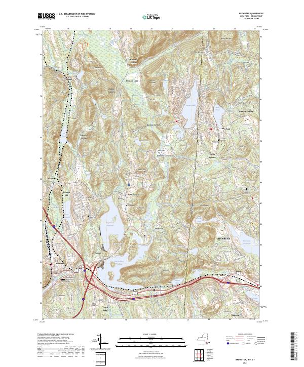
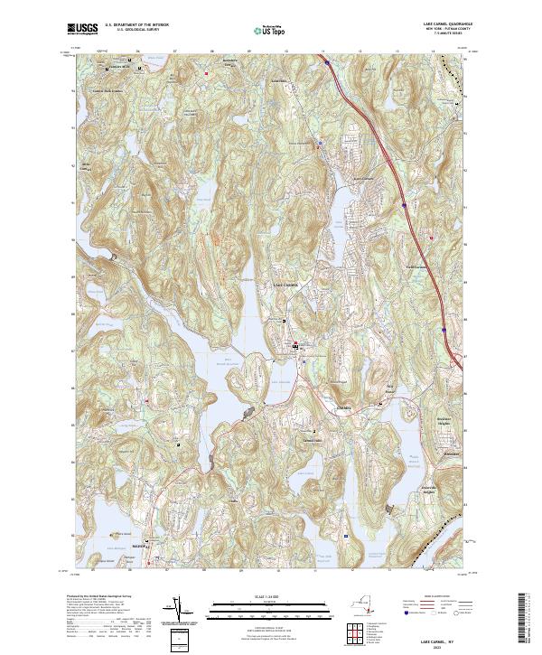
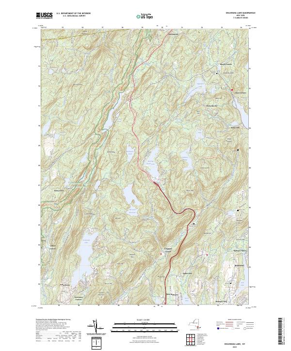
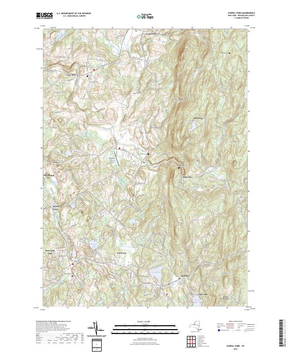
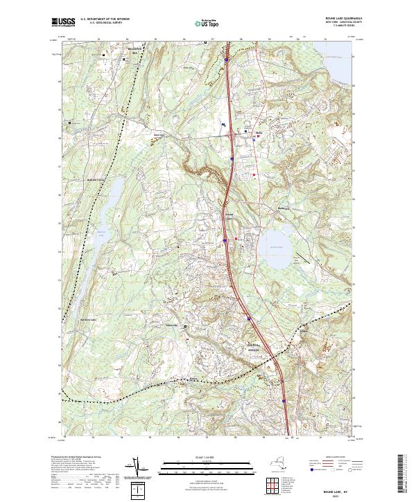
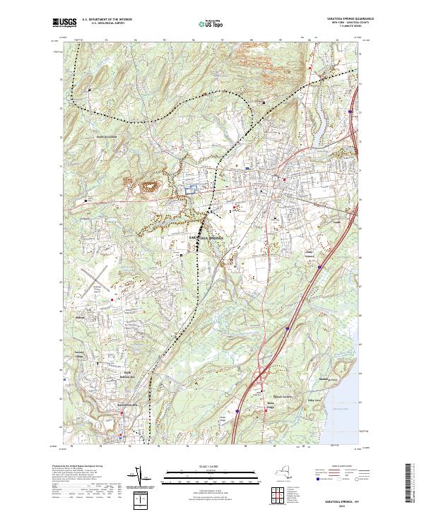
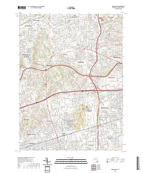
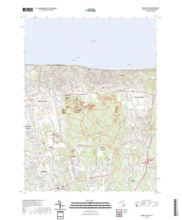
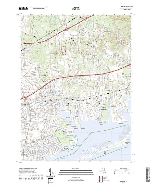
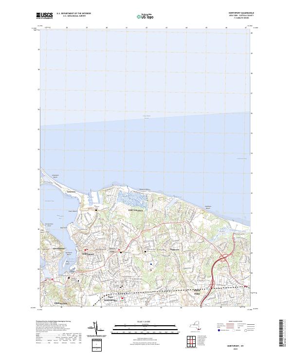
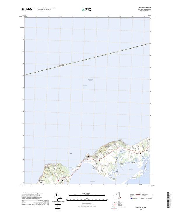
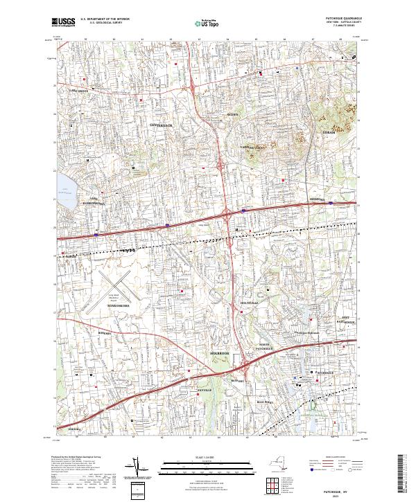
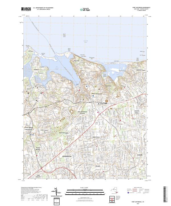
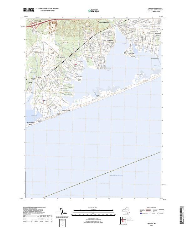
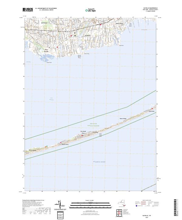
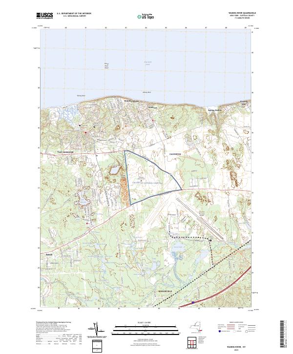
USGS Topographic Maps – Putnam to Suffolk
Counties: Albany to Delaware / Dutchess to Livingston / Madison to Otsego / Putnam to Suffolk / Sullivan to Yates
Browse Topographic Maps: Full State / Historical USGS Topographic Maps
Putnam County


Queens County


Rensselaer County


Richmond County


Rockland County


Saratoga County


Schenectady County


Schoharie County


Schuyler County


Seneca County


St. Lawrence County


Steuben County


Suffolk County


USGS Topographic Maps – Albany to Delaware Counties
Counties: Albany to Delaware / Dutchess to Livingston / Madison to Otsego / Putnam to Suffolk / Sullivan to Yates
Browse Topographic Maps: Full State / Historical USGS Topographic Maps


