the

Land Uses in Mohawk Valley

How much of the Mohawk Valley is developed, how much is farmed, and how much is forested? These images give you a clear overview, with all agricultural cropland and pasture colored yellow, all forest lands colored green, waterways colored blue, and developed areas are red. This is based on LANDSTAT and USDA NASS Croplayer data.

Overwhelmingly, the Mohawk Valley is about agriculture, although as elevation increases and farming is no longer profitable, then farm fields revert to tree cover. And while their are certainly single family homes and other rural residents under the tree cover, by no means is development the overwhelming use of the land.

Most of the farming in the Utica-area, occurs south of the city, due to the sandy soils, short growing season, and elevation making farming unprofitable north of city. This map may actually distort how much land north of city is actually farmed, as many of farm fields shown on this map have been abandoned and are slowly reverting to brush and ultimately tree cover.
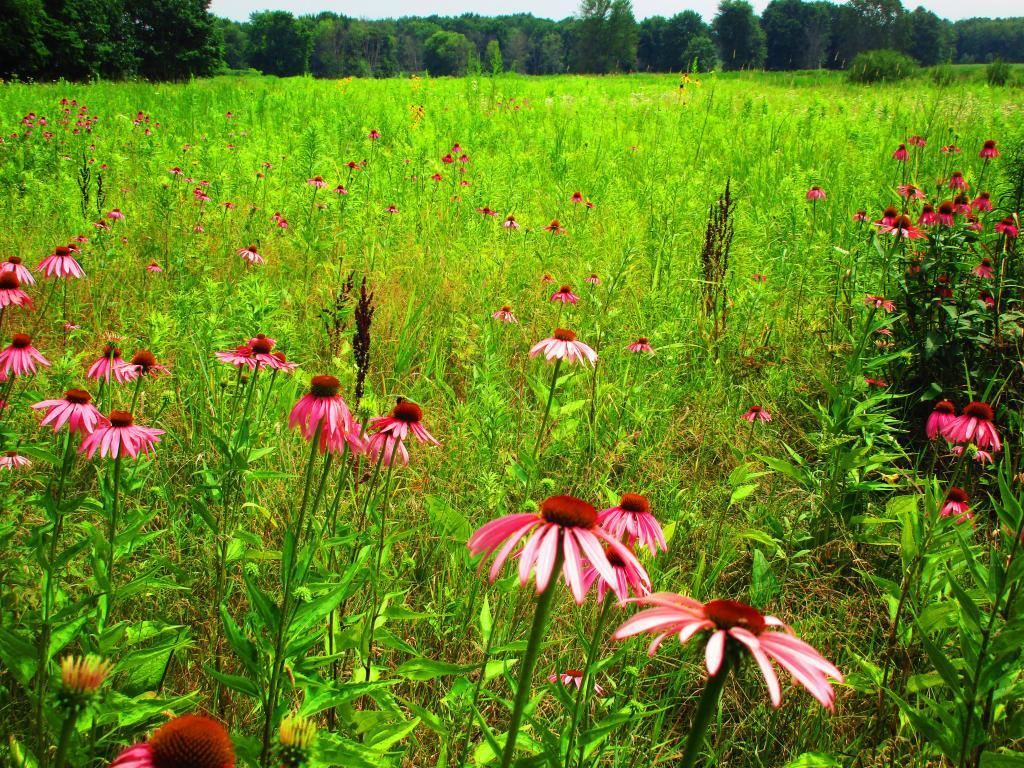
While not a lot of unique birds at Montezuma out and about as it was a hot and humid day, still nice to explore nad see the wildflowers

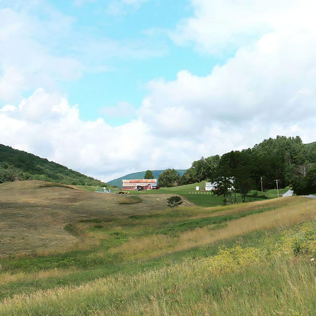
As you get around Canajoharie the amount of farming activity picks up dramatically, and except for a small section right next to the Mohawk Valley, most of this area is not developed.
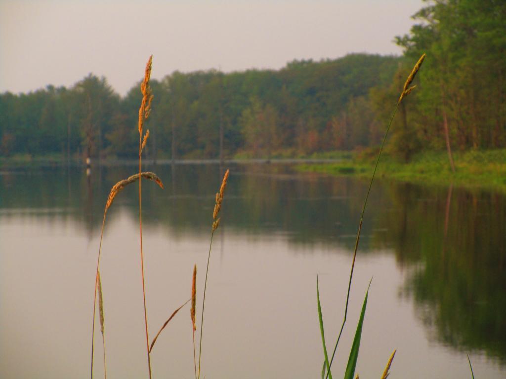
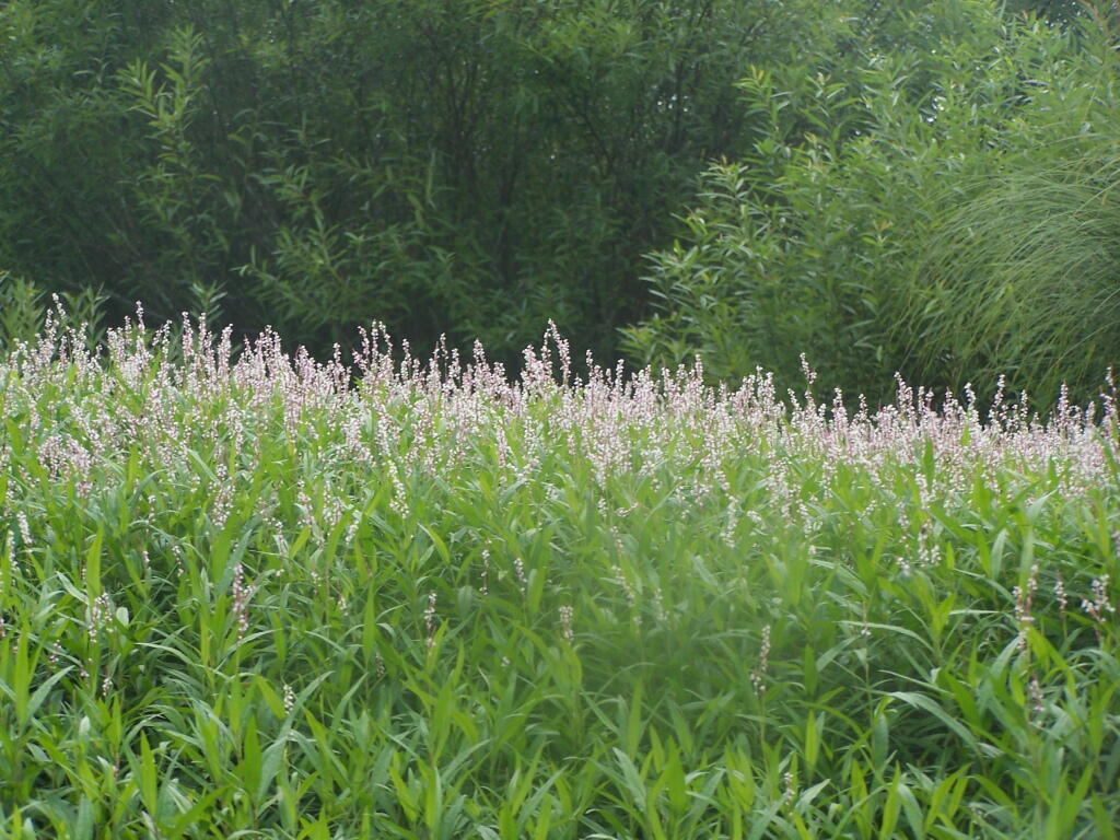
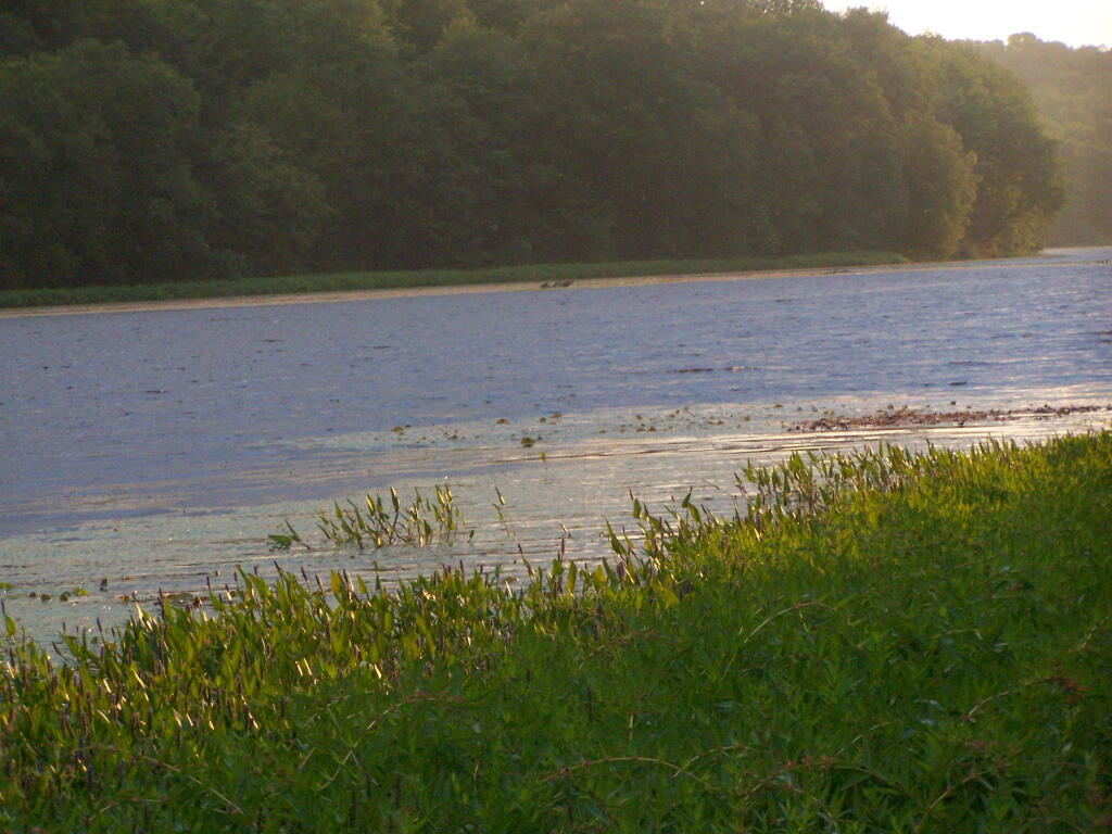
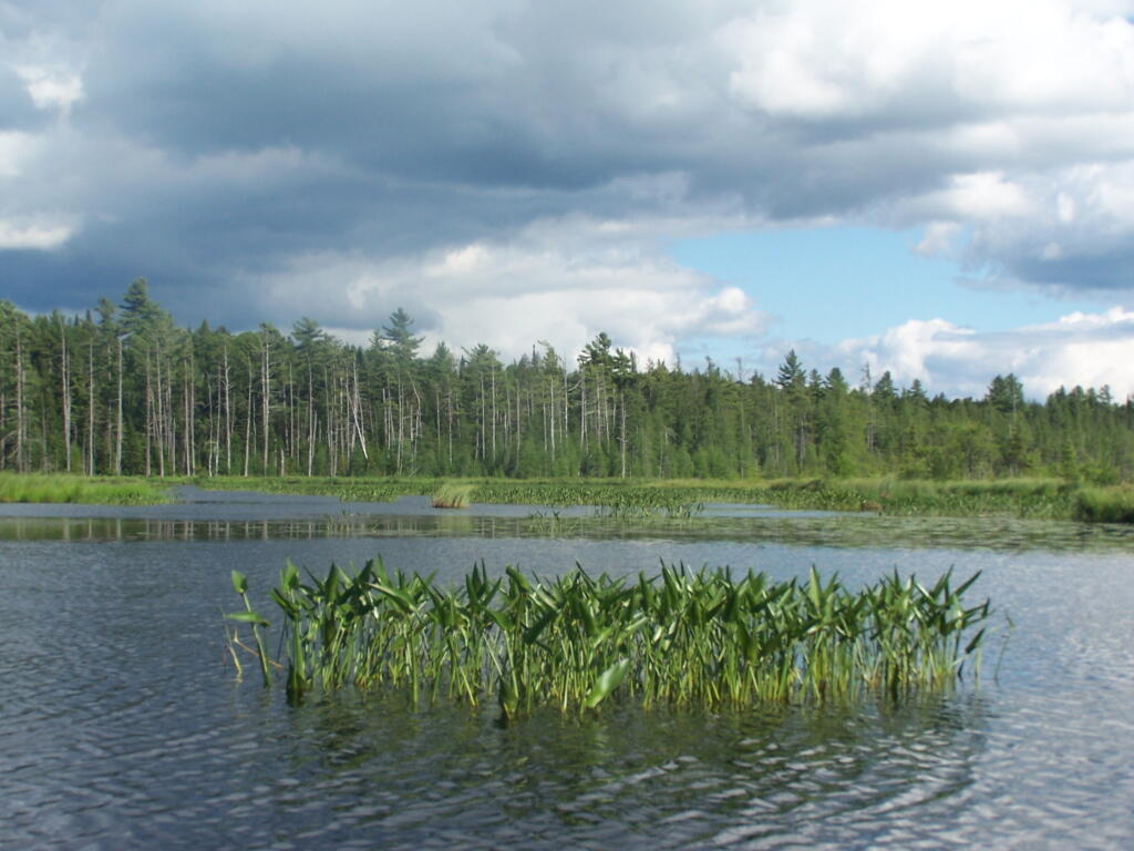
Grass along Teeter Pond

Heading towards Albany-Schenectady, you see more development, but notice how you don’t have to get far from the city for forest cover to be dominant feature, and not agriculture. A lot of this is rural residents, with acreage, and hobby farms around here. Farming stops when you get up on the Rensselear Plateau, although the farm lands right around Brunswick are quite profitable, until you start heading towards Grafton where almost all farming stops.
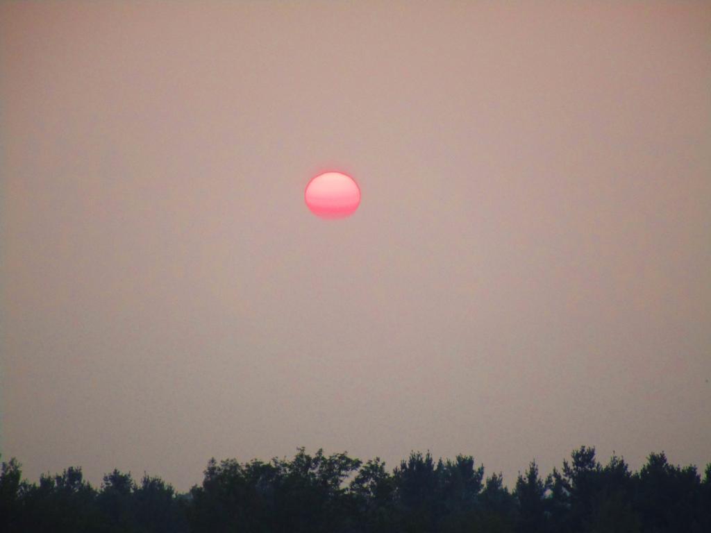
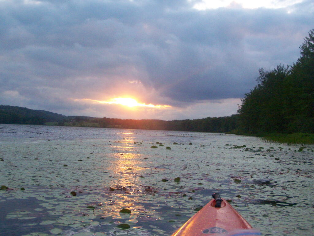
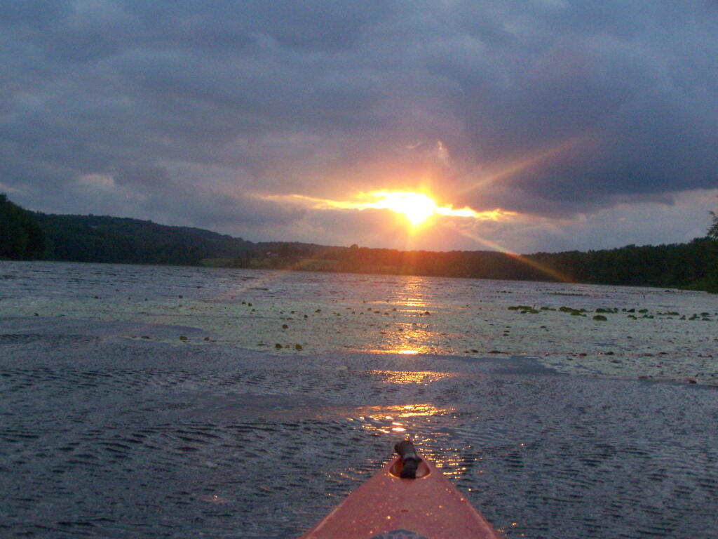
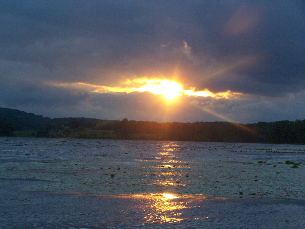
Many Nights Sunsets

Camping on Hope Falls and Pumpkin Hollow Roads

There are several campsites a on side roads, little ways off of NY 30, as you head North from Northville towards Wells NY. These campsites are nice if you starting off into the Adirondacks, and are looking for a convenient place to camp for the night, and want campsites quieter then those on NY 8 / East Sacanadaga River.

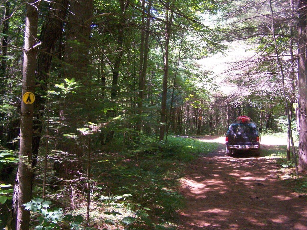
These sites are all designated with official “Camp Here” discs.
Road Number of Sites
Hope Falls Road 3 Vehicle
3 Tent Sites
Pumpkin Hollow Road 2 Vehicle (Between Willis Lake and Inholding)
1 Vehicle (Beyond Inholding)

Hope Falls Road.
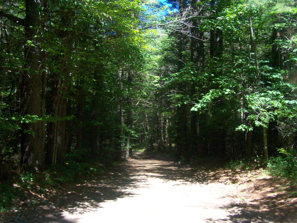
From Northville on Hope Falls Road, you drive north and north. The paved road goes on for several miles, until you finally reach the “Seasonal Use Only” sign, and hte pavement ends it becomes a one lane road.

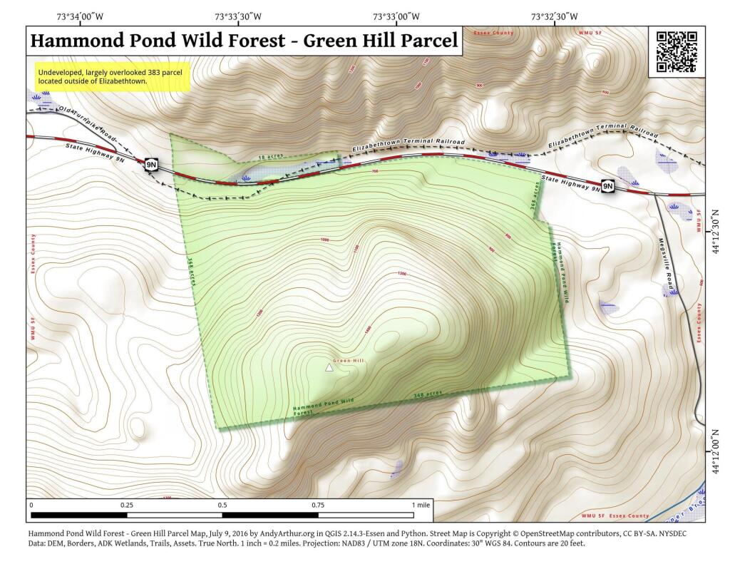
 Hammond Pond Wild Forest - Green Hill Parcel

Click the map above to print it.

None of these campsites are particularly fancy, although there is a single outhouse for the first grouping of campsites on the southern port of the road.

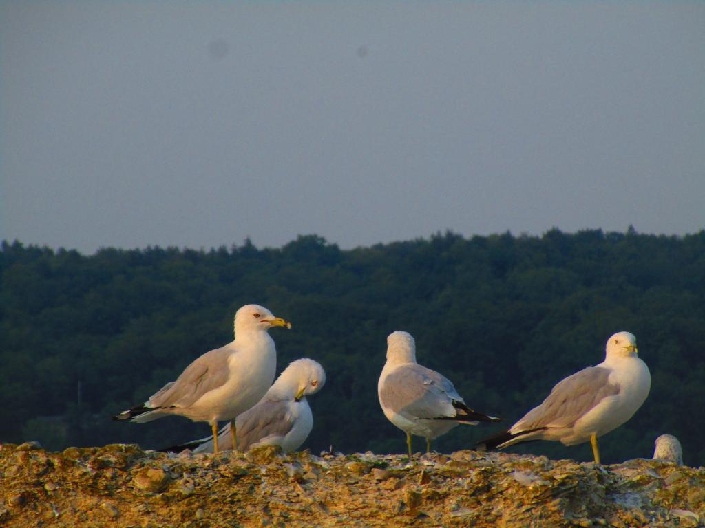
Gulls on the breakwater

All of the campsites run along Stoney Creek …

Stoney Creek

Pumpkin Hollow.

The campsites are a ways back on Pumpkin Hollow Road, a dirt road, beyond Willis Lake and the camps along it. Pumpkin hollow is a short ways south of the Sacanadaga River DEC Campground, it starts out as a paved road by a white house, then eventually a mile or two back becomes unpaved and one lane.

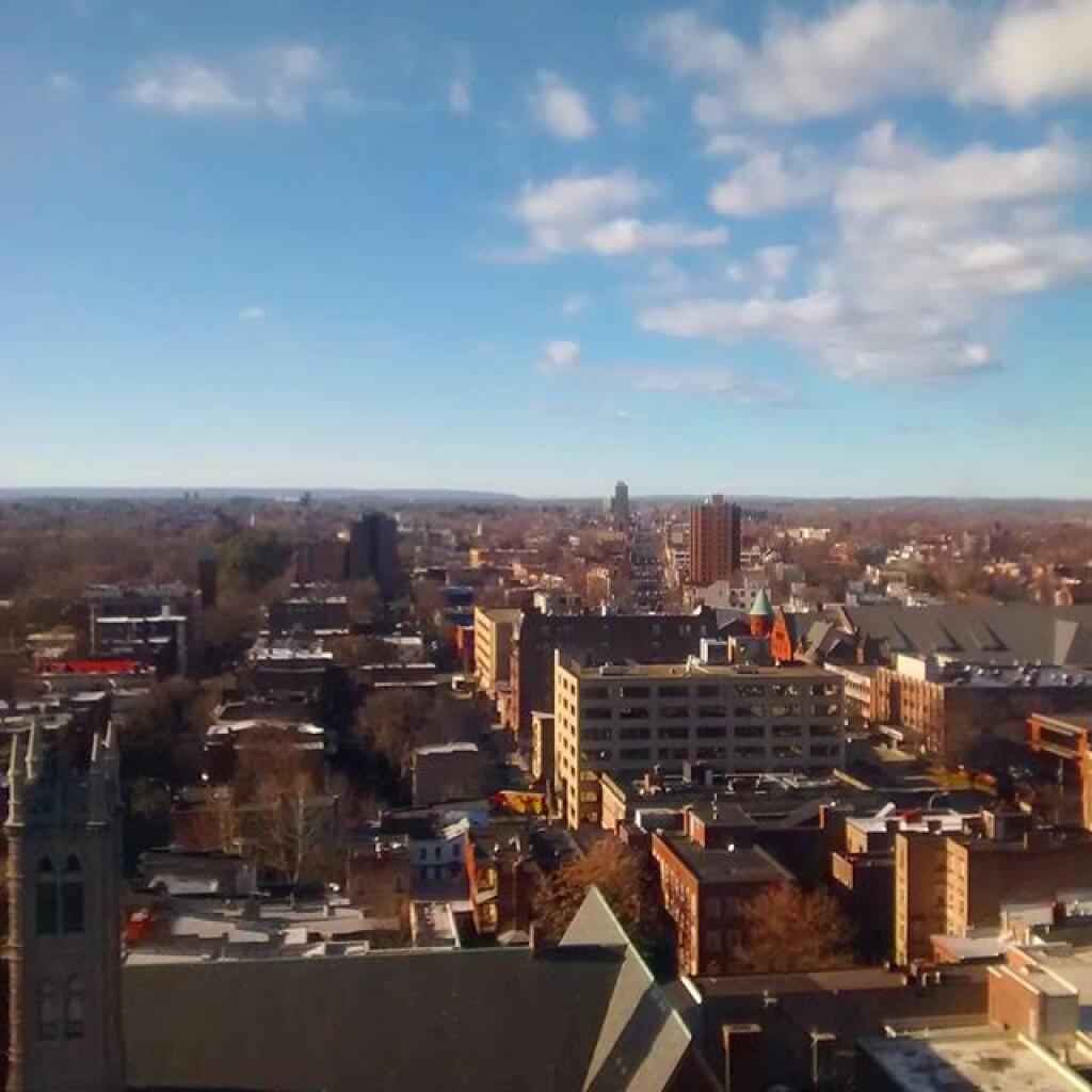
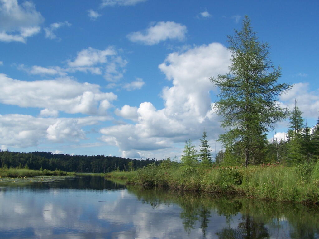
Blue skies

You can print the above map by clicking on it and printing it.

Willis Lake

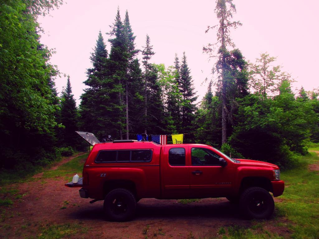
Here’s sample designated campsite on Pumpkin Hollow Road.

Designated Campsite

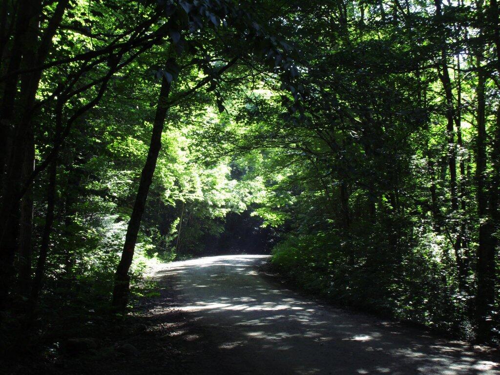
And Pumpkin Hollow Road…

Pumpkin Hollow Road

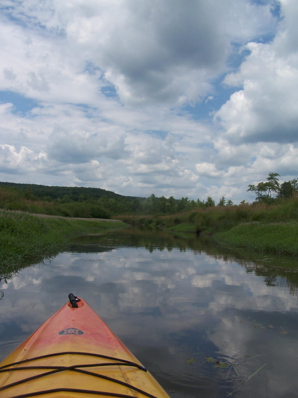
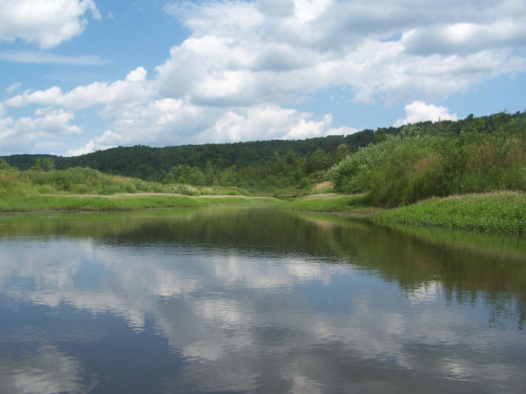
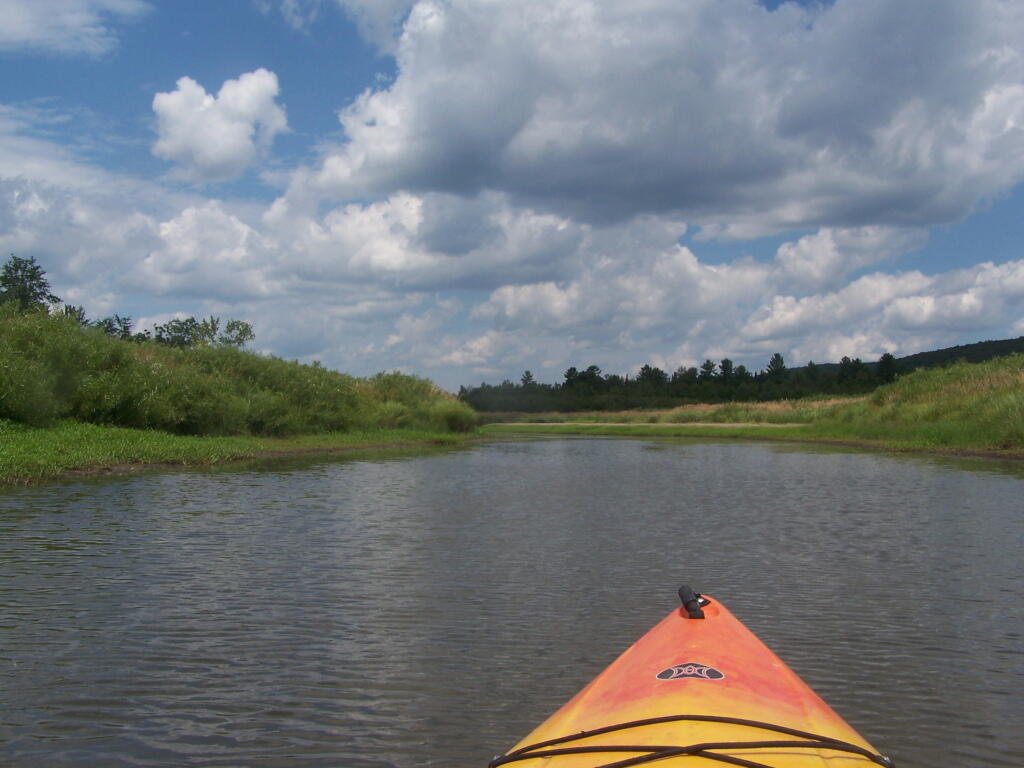
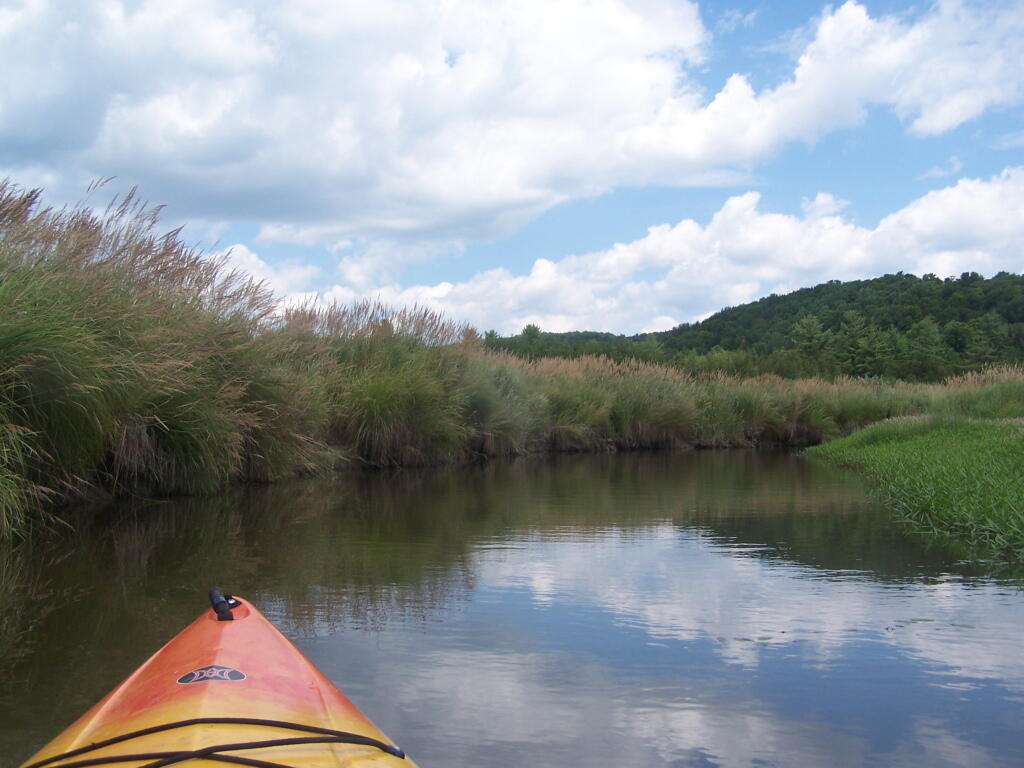
Kayaking Beaver Creek, August 2011

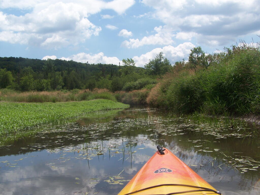
Where is a quiet place to kayak near Cedar Ridge and the Brookfield Horse Camp? Have you ever thought about kayaking the Beaver Creek, from Horse Trail 60 north until the end of the navigable waters?

 Cedar River-Limekiln Lake Road

You take Fairgrounds Road north from Brookfield NY, until a first parking area on the left of the road. This is Horse Trail 60. It’s a short portage (1/8 mile) until you reach the bridge crossing the Beaver Creek.

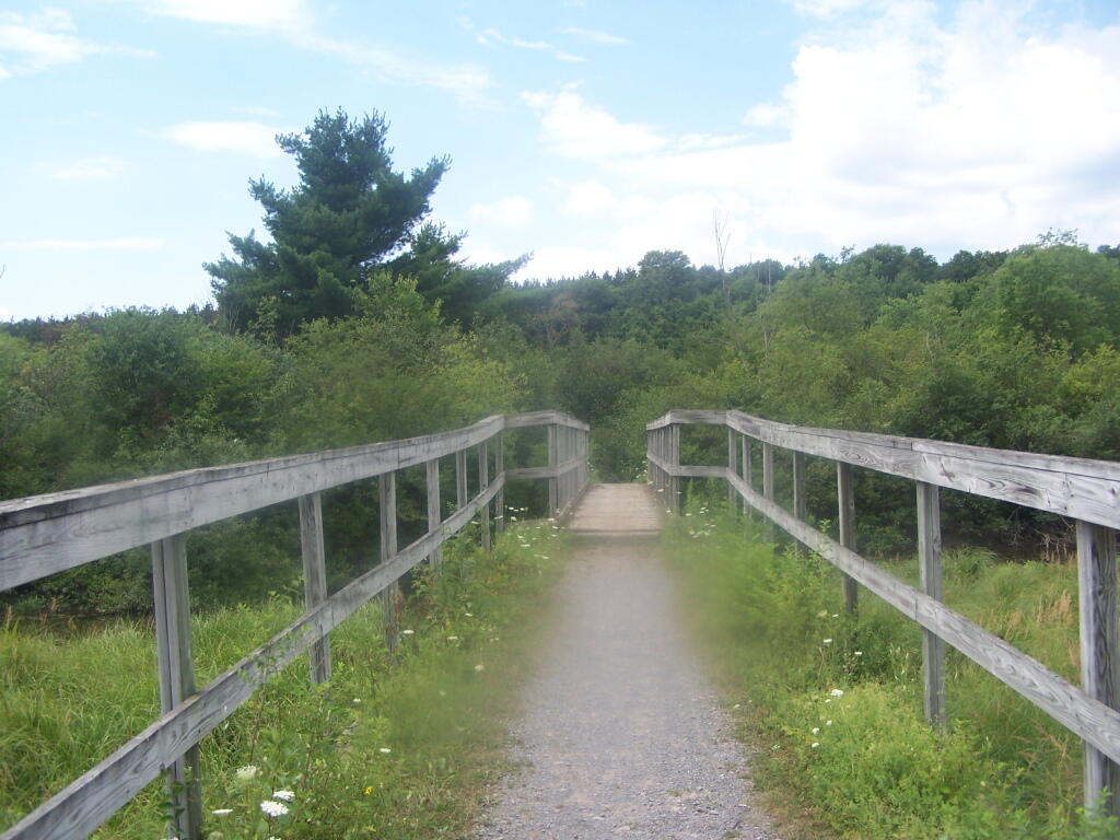
Horse Trail 60 Bridge

Put in the on the side of this bridge. I did from the east side, through the marshy ground, but you could portage over the horse bridge, then put on the west side, and avoid the marshy ground.

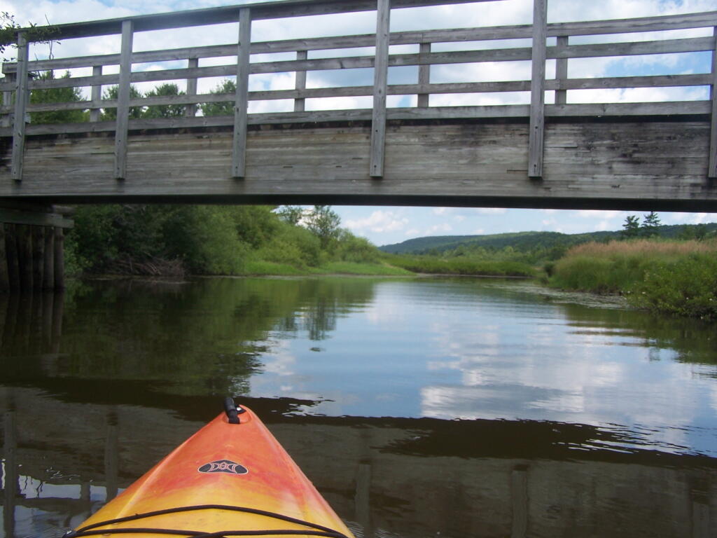
Heading Under Horse Trail 60 Bridge

Beaver Creek State Forest Sign

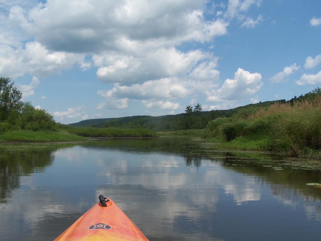
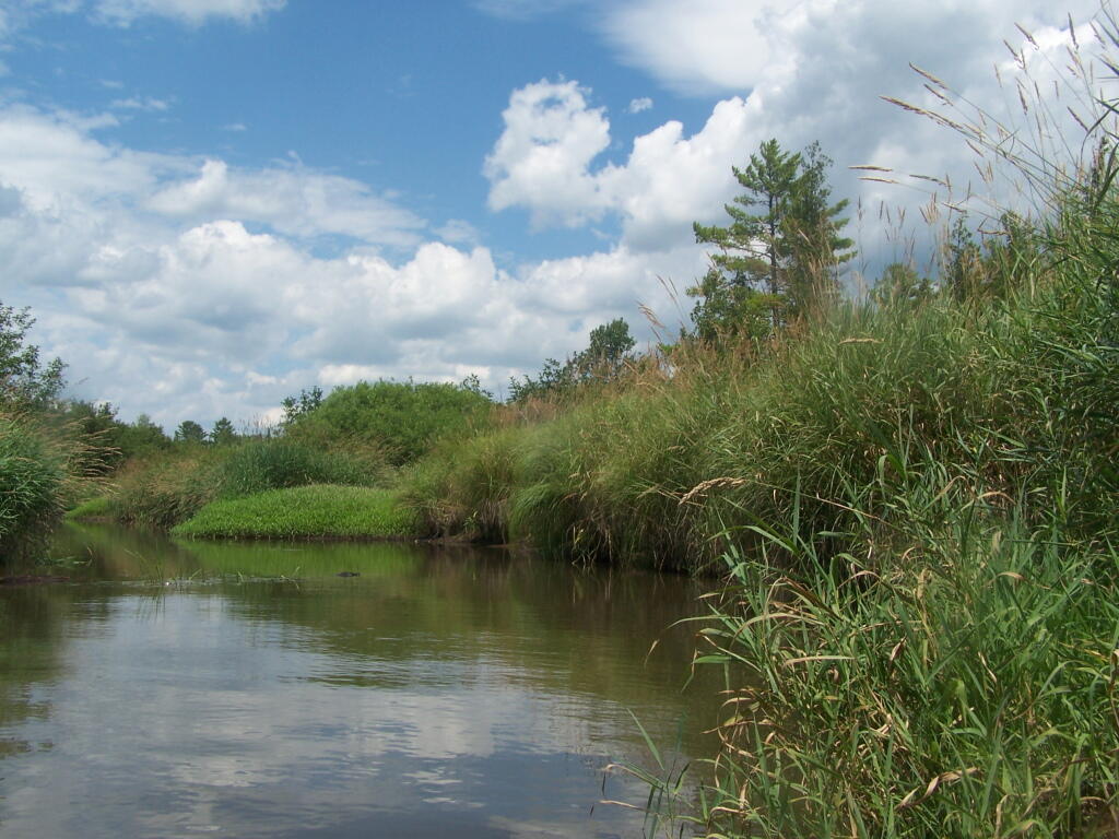
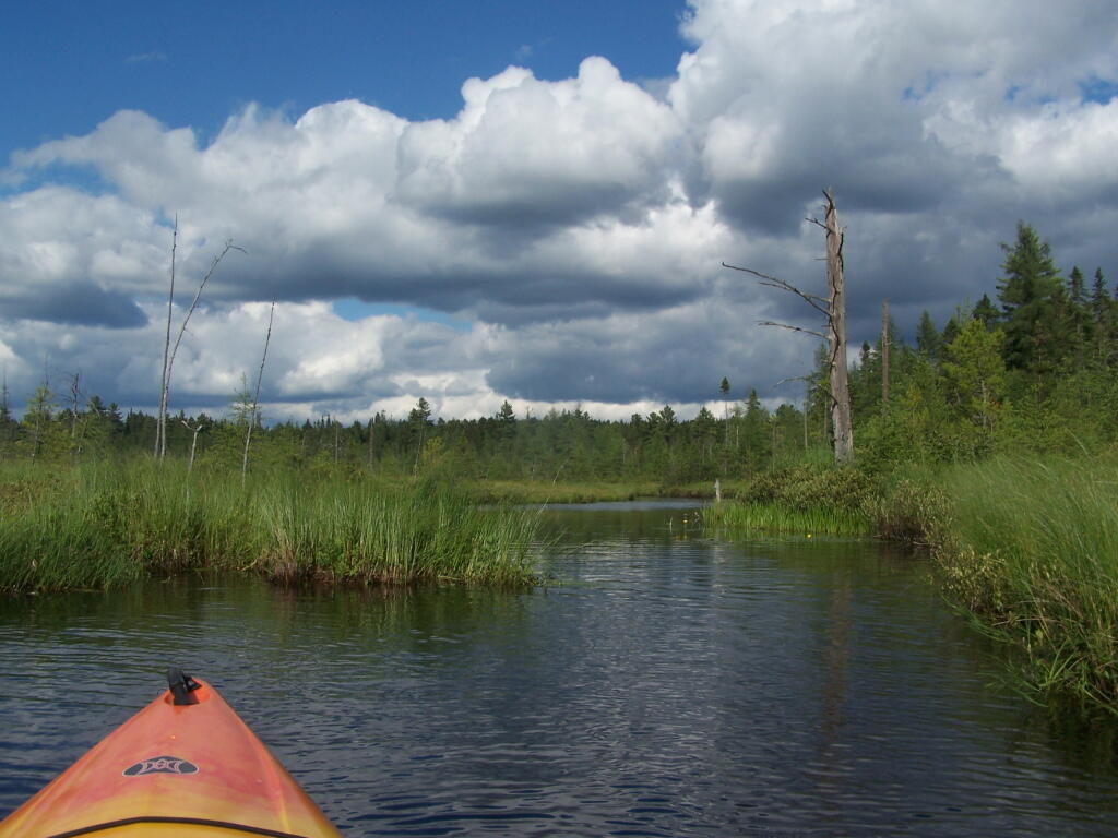
The Very Flat Water Beaver Creek

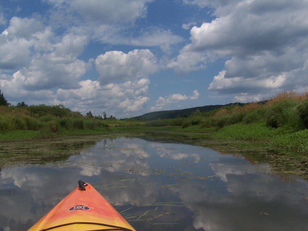
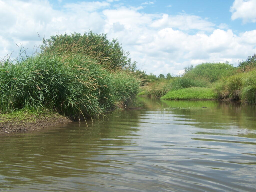
Wider But Shallow Section of Beaver Creek

Hudson River looks nice and brown

More Open Section of Beaver Creek

Heading Back

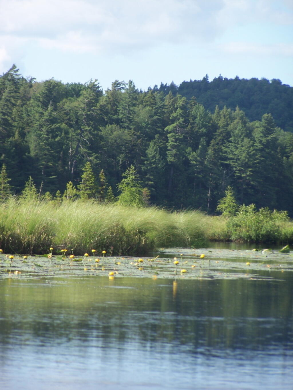
Timothy Grasses Along Shore

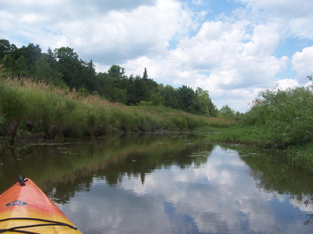
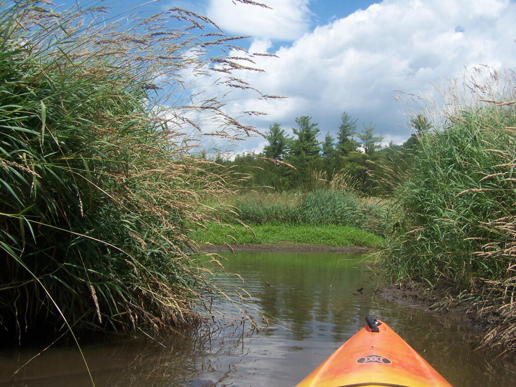
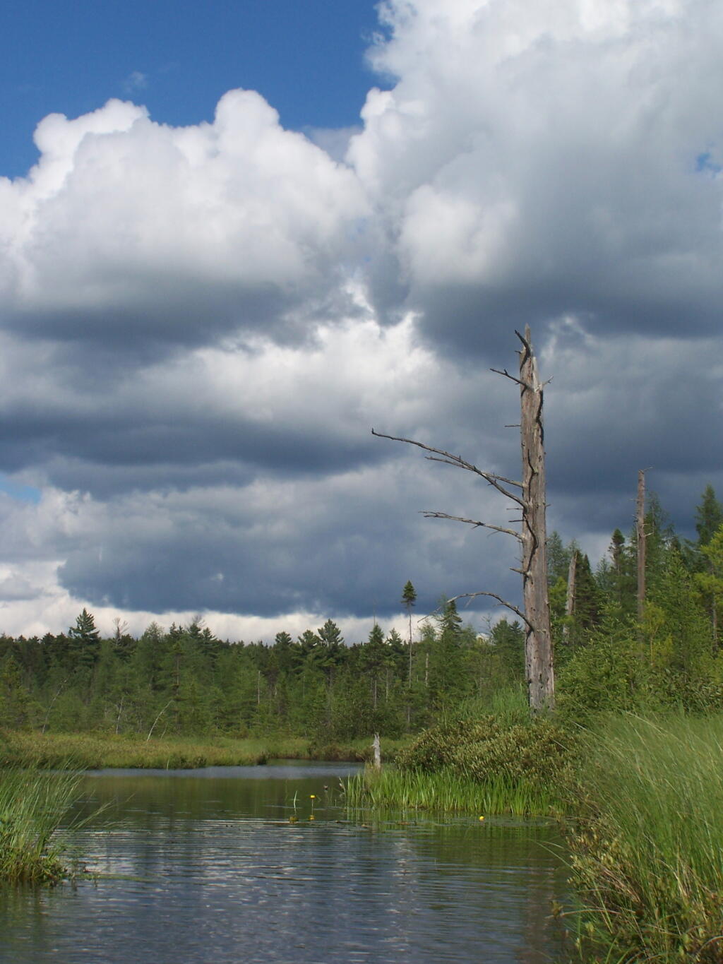
Another Narrow Section

Trees Along River Bank

Wind Generated Current

Claustrophobic?

Flowers

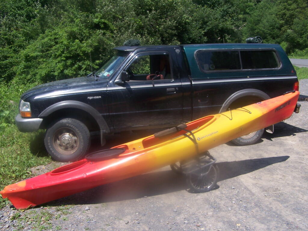
Having a good set of wheels means you won’t have to carry your kayak, but make sure not to drag it on the gravel to avoid wearing holes in your kayak, as I learned earlier this summer.

Kayak on Wheels

This is a delightful little trip. Do drive the Charles Baker Auto tour, or hike some of the many trails in the area…

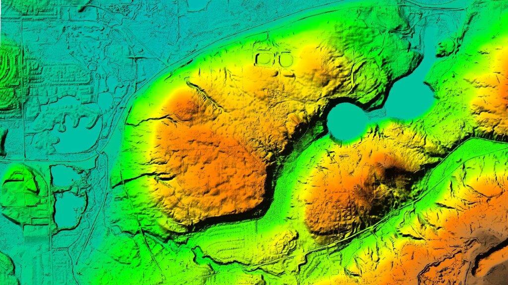
 Green Lakes Elevation Psuedo Color

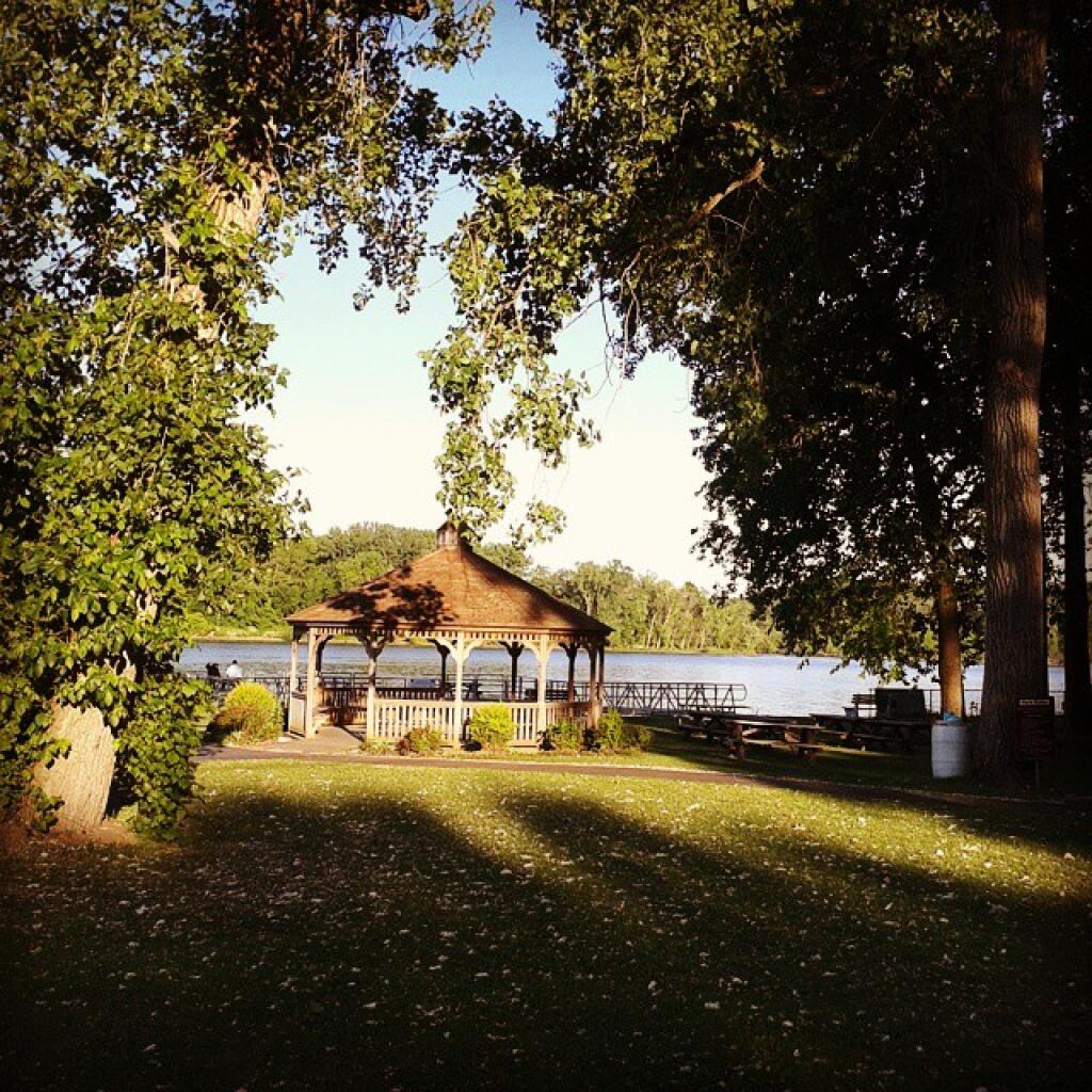
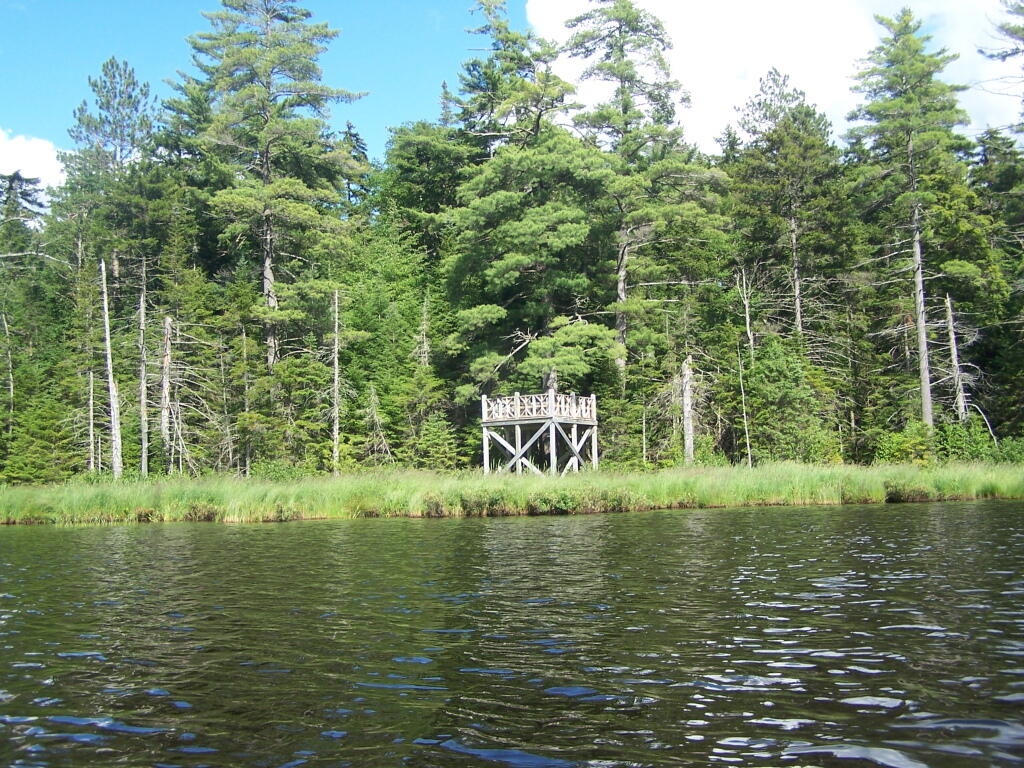
Pavilion

Kayaking Long Pond

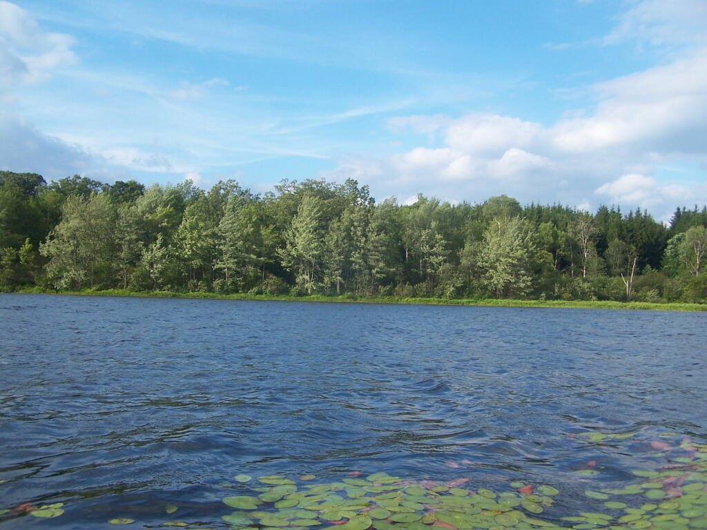
Long Pond offers 8 designated roadside campsites, and a handful of other informal campsites on the other side of the lake. A large man-made lake in an agricultural landscape of Chenango County, it offers some excellent fishing and nice views, especially for Chenango County.

Reed Hill

This map below shows where each picture was taken roughly in the area.

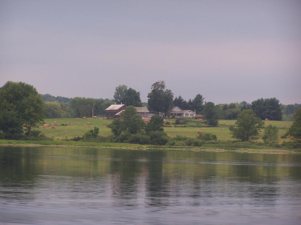
Farm on North-West Side

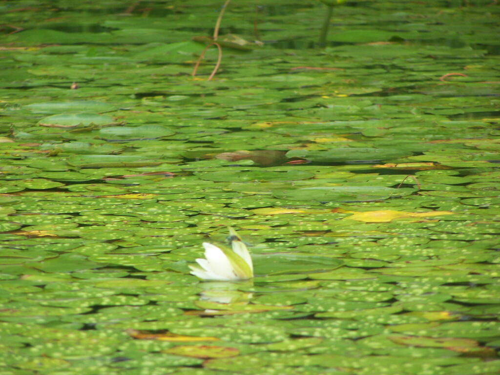
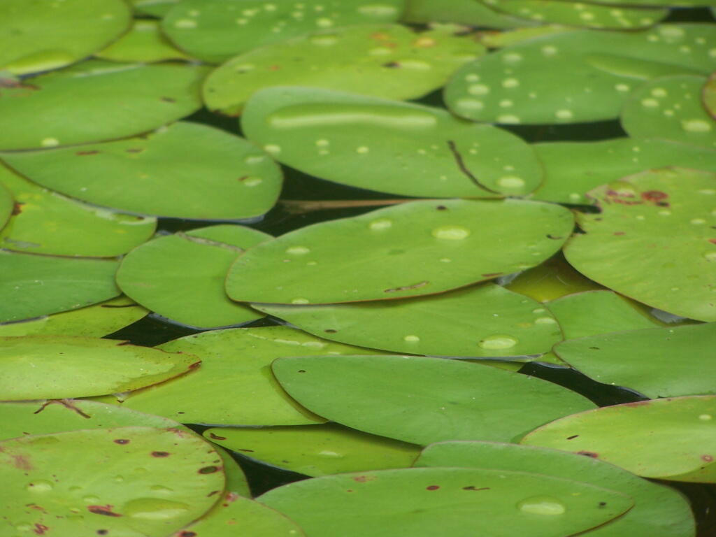
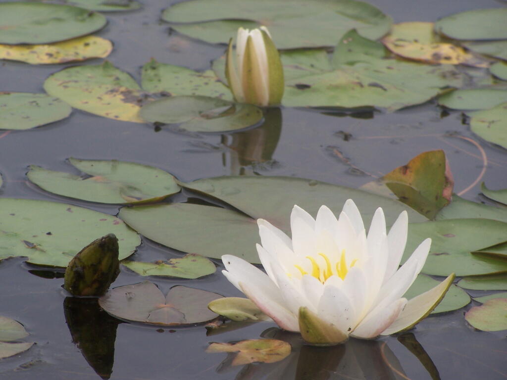
Flower on Lake

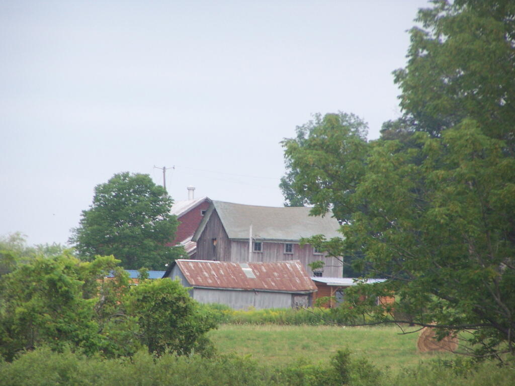
Barn Along NY 41

Rain Drops

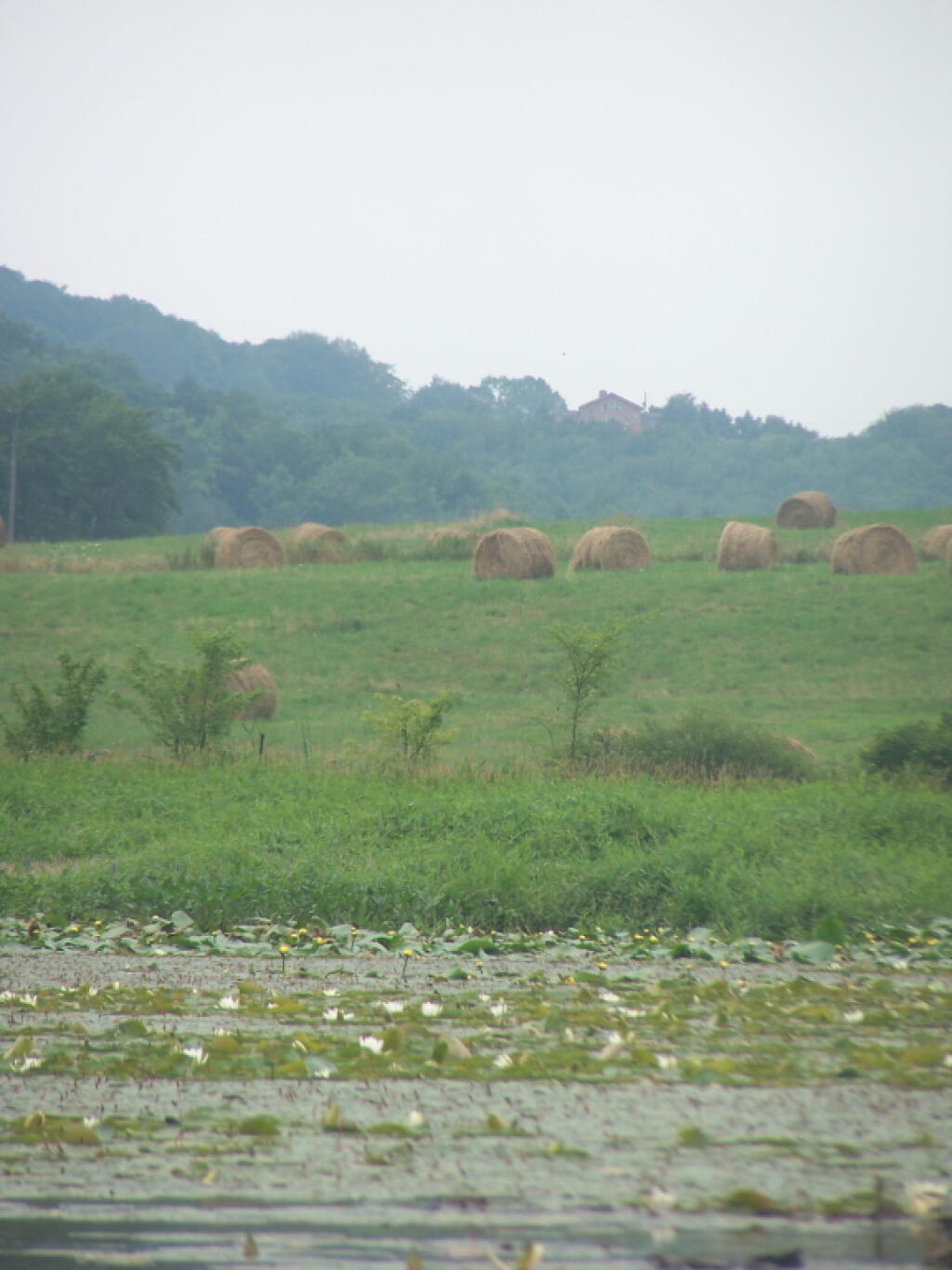
Bailed Hay Along Pond

Flowers

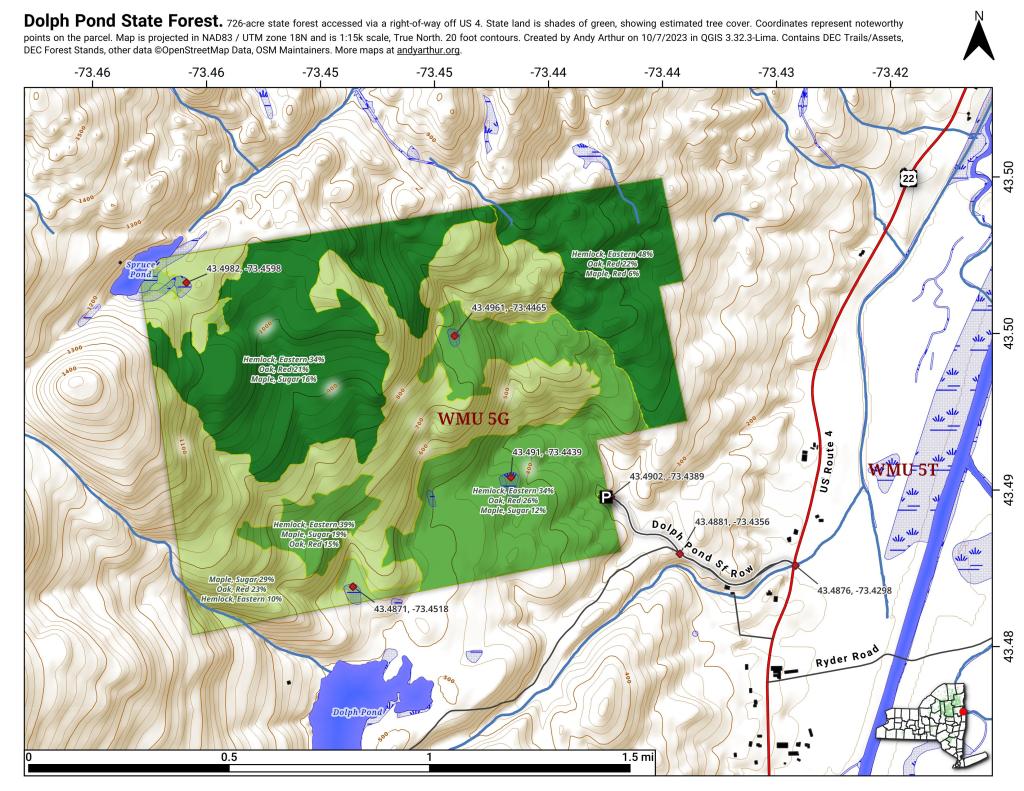
Dolph Pond State Forest

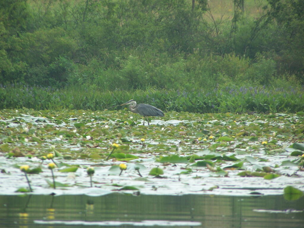
Great Blue Heron

Finally Starting to Clear!

Timber Planation Along Long Pond

Blue Skies

Checking the Map

Clearing

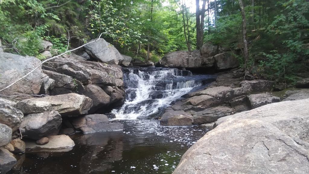
Hatch Brook Falls

Dam at End of Lake

 Fields

White Birch Planation

West from Dam

Campsite 7

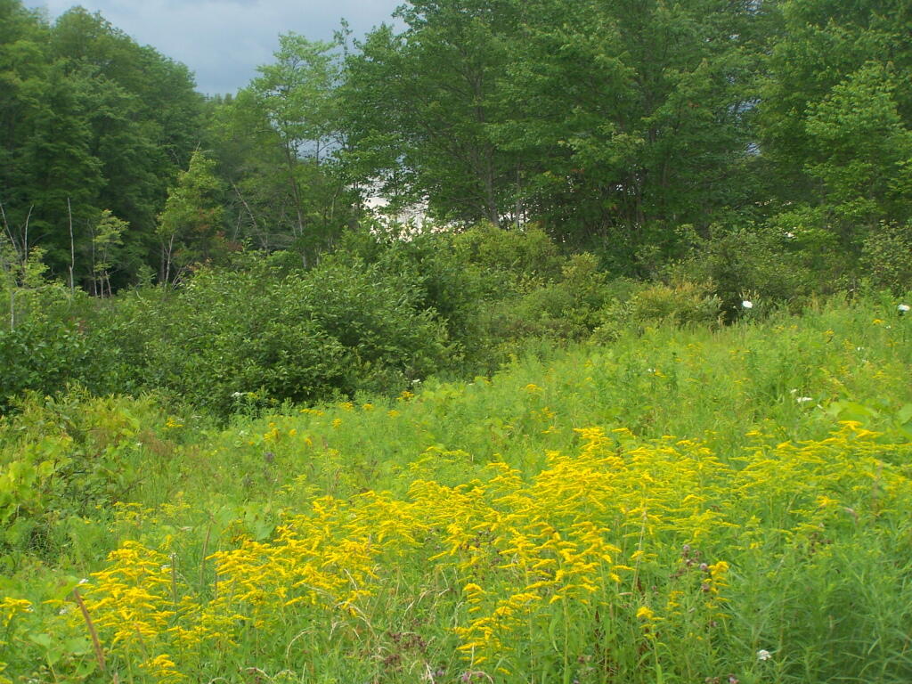
Golden Rod

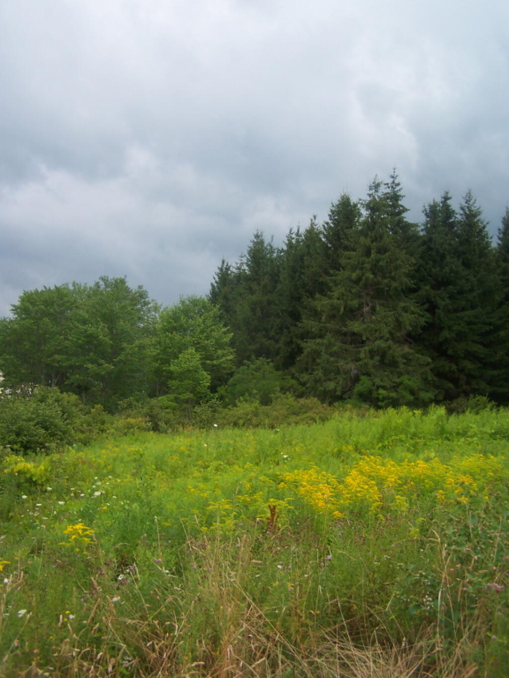
Golden Rod, Trees, Clouds

Evening Sun Peaking Out

Rays Hitting the Pond

Backlit

Evening Sun Peaking Out

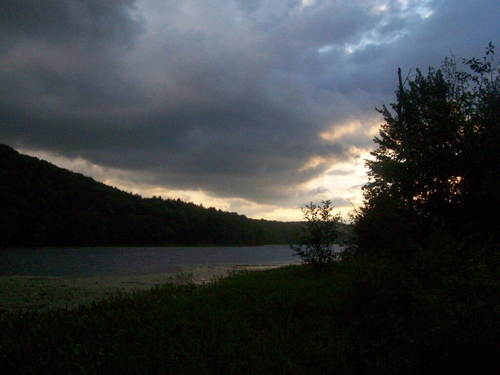
Sunset on the Lake

Sun Rays

Reflections of Sun

Kayaking Barnum Pond, July 2011

Barnum Pond, right behind the Adirondack Vistors Intreprative Center, offers some great views, and can be accessed for free from NY 30, one mile north of VIC and one mile south of Mountain Pond Camping Area. Click on the map below, to display a full-size version, perfect for printing and slapping in a plastic bag, to strap on your kayak.

Here are some pictures I took while was paddling around this lake, proceeding from NY 30, along the Southern shore until I got to the Barnum Pond outlet, which you can continue on for about a mile until a beaver dam. You can portage around the beaver dam, if you choose, however a 1/2 mile below that is a series of man-made dams in Paul Smiths you must go around, to get down to Lower St Regis Lake.

Rainy Tuesday Morning

Edge of Barnum Pond

Adirondack VIC Observation Deck

Barnum Pond Outlet

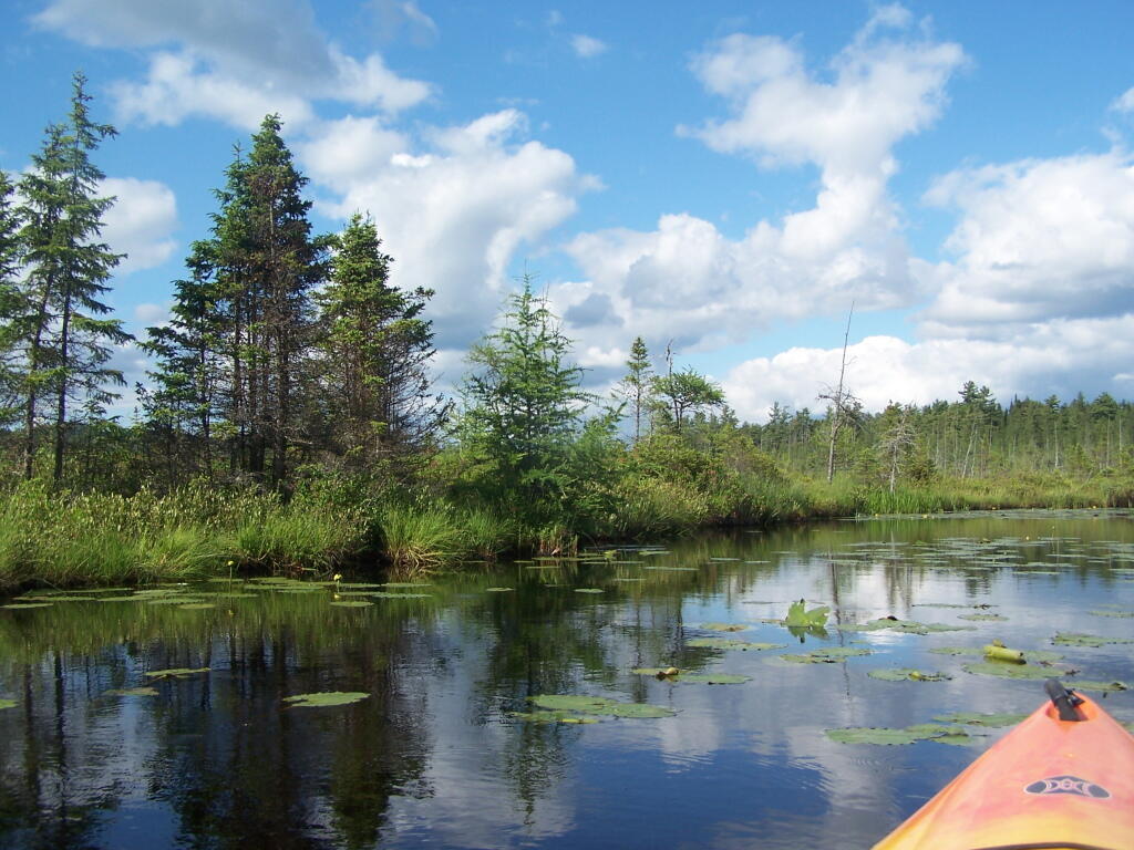
 Treeline

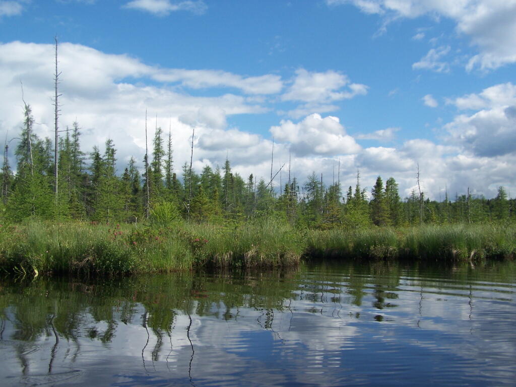
Through the Marshlands of the VIC

Clouds Over Barnum Pond Outlet

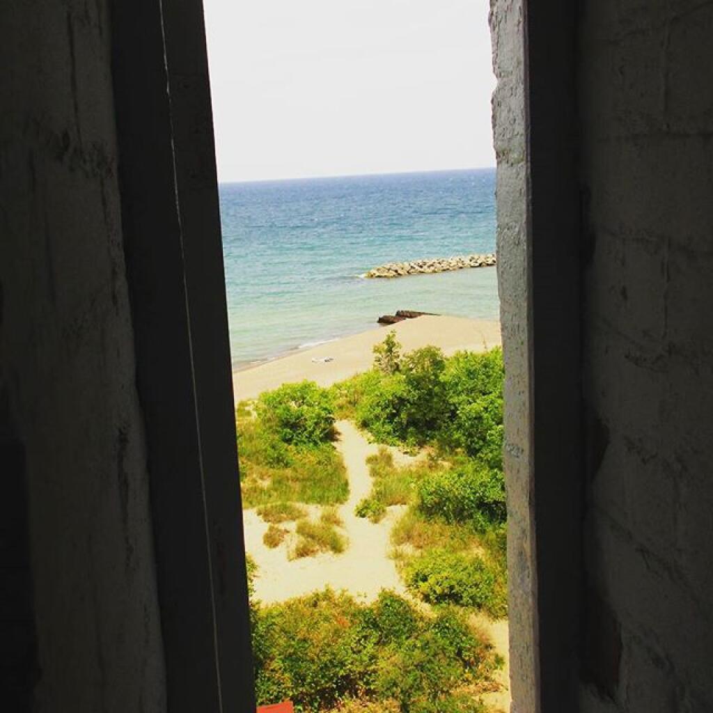
Lighthouse Stairway Window

Splader Dack and Boreas Forest

Heading Back to Barnum Pond

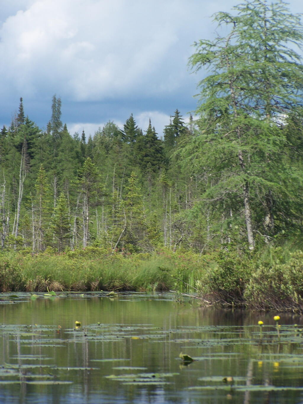
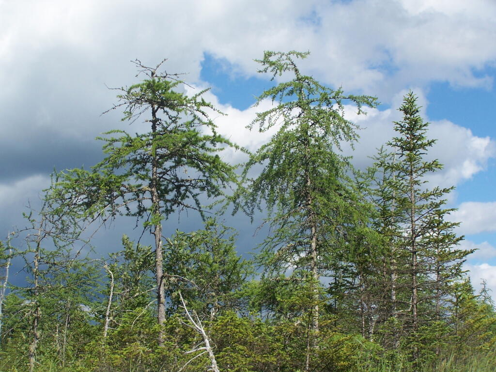
Boreal Trees

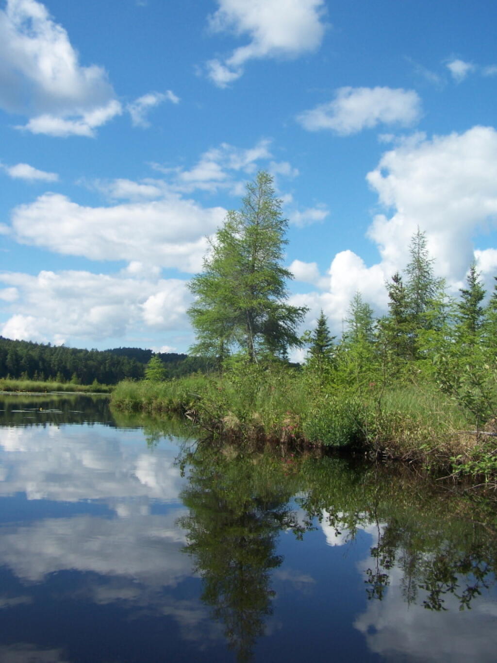
Reflections

Southern Edge of Barnum Pond

Untitled

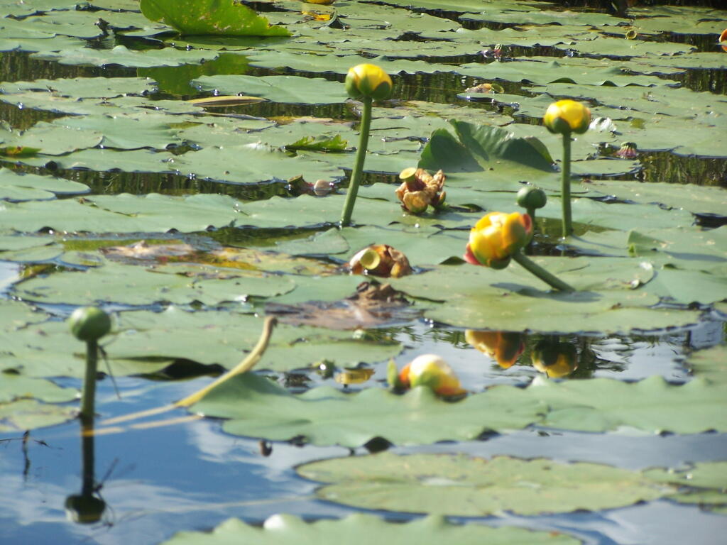
Spatterdock

South West on Barnum Pond

West Kill Valley

St Regis Mountain Across Barnum Pond

If you visit here, consider camping at Mountain Pond.