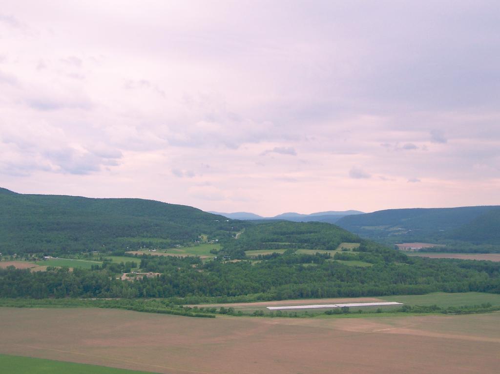
photos

Walkway Over the Hudson

On a rather cloudy day that I had taken off from work last week, I decided to drive down to the Walkway Over the Hudson. I got down there around 9:30 PM, on a cloudy Wednesday, and the parking lot only had one parking spot left on the Pougkeepsie side. It is accessible from the Poughkeepsie side via taking US Route 9 North from Pougkeepsie then turning onto NY Route 9G south. Alternatively, you can access it from Haviland Road in Highland.
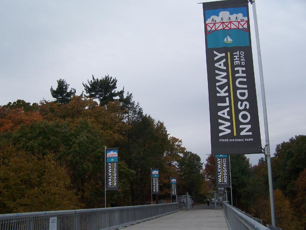
Flags

The newly extended bike trail leads directly to the Walkway from the rather large Poughkeepsie parking lot. If you can’t find space in the lot, there is plenty of space on nearby city streets.
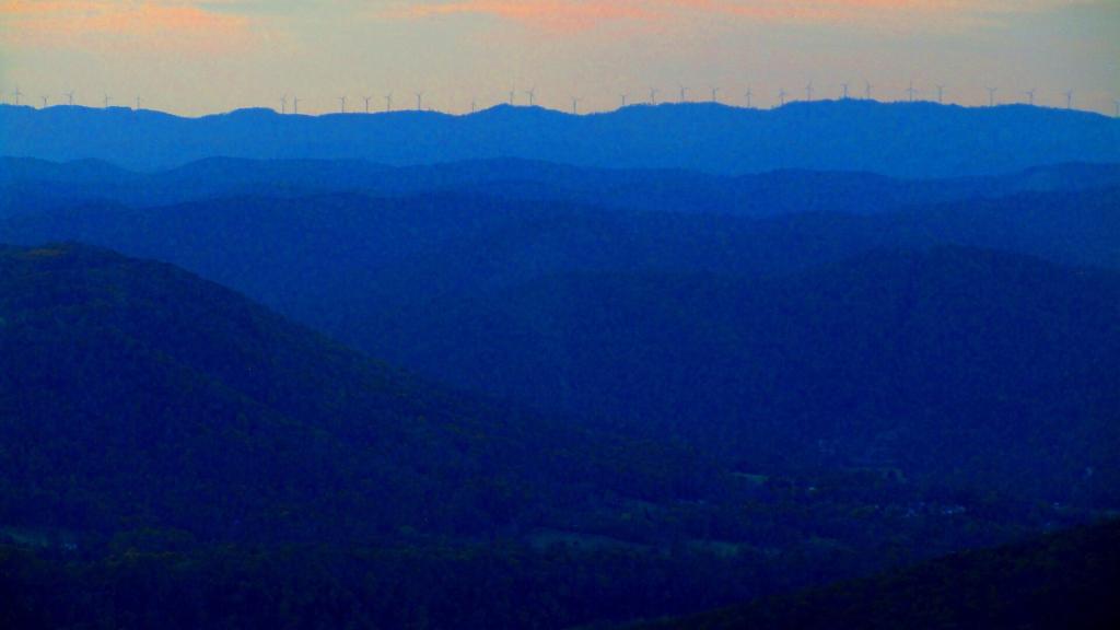
Wind on Backbone Mountain

Big crowds of people entering the Walkway.
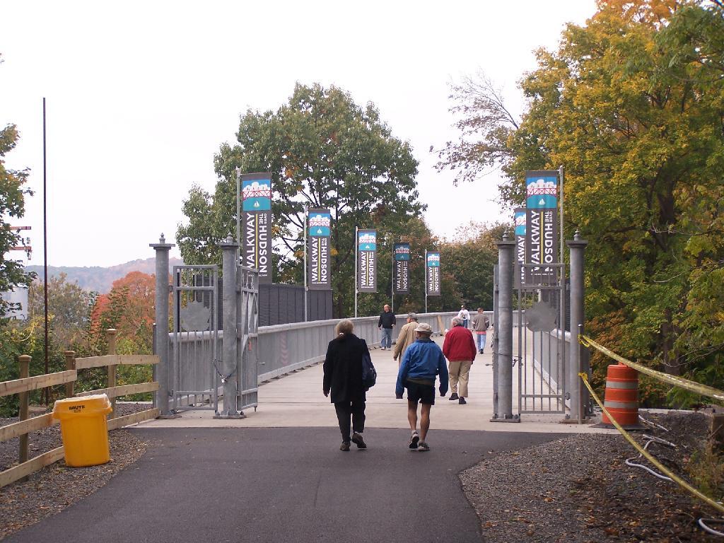
Entering  the Walkway

At 28-feet wide and nearly two miles long, it’s pretty big and wide. Despite probably several hundred folks on the bridge, it doesn’t feel at claustrophobic or tight.
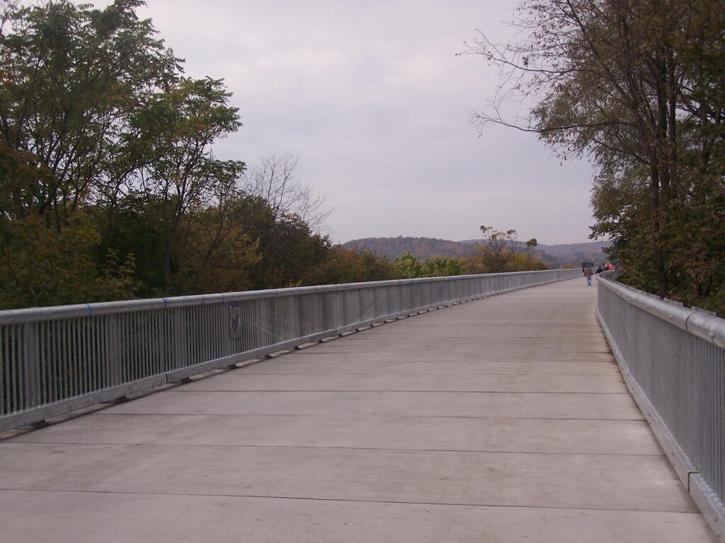
A Big Bridge

Looking across Poughkeepsie at the Mid-Hudson Vehicle/Pedestrian bridge.
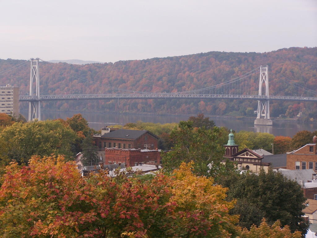
Across the City to Mid Hudson Bridge

From the center of the bridge looking directly south.
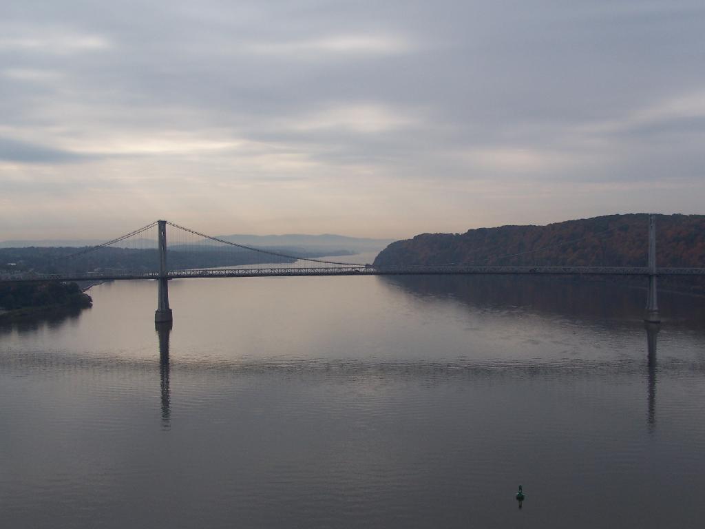
Mid Hudson Bridge

North along the Highland side of the Hudson River.
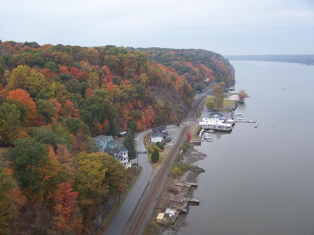
North Along River

All and all it is a beautiful walk across the bridge. If you plan on taking some pictures, and want to walk from one side of the bridge to another, you should figure about two hours of time. More at walkway.org.
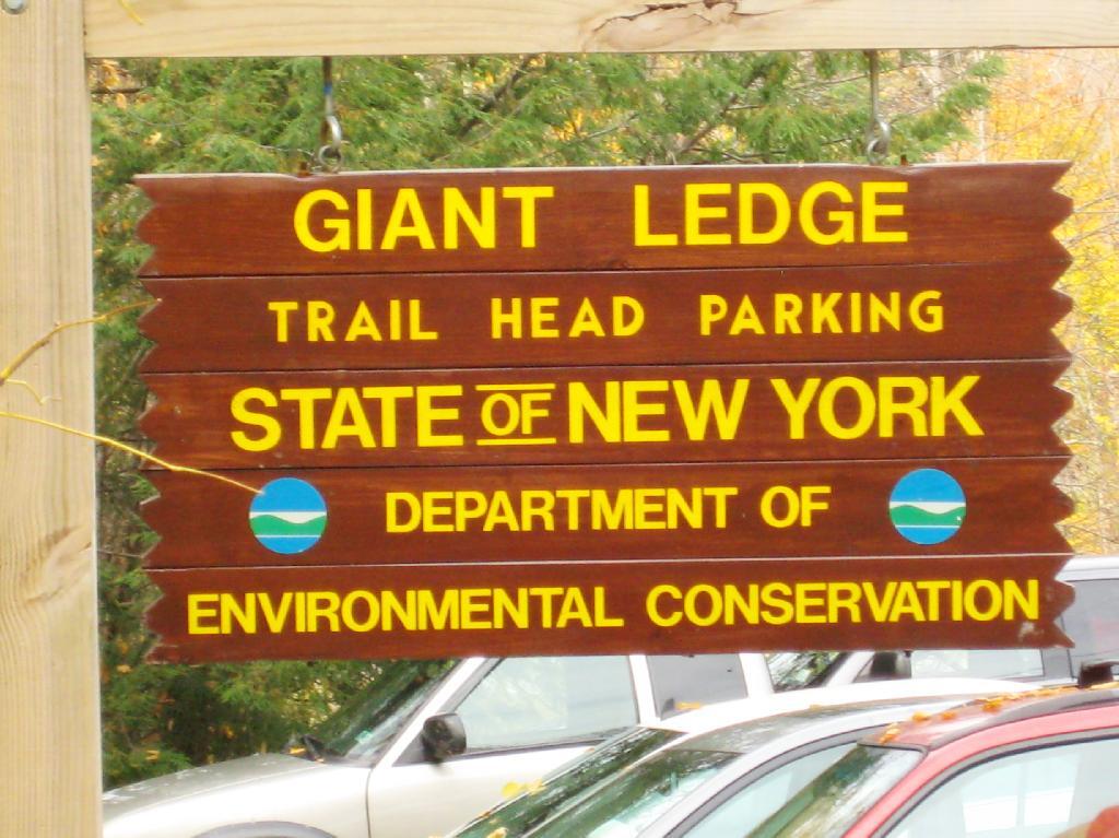
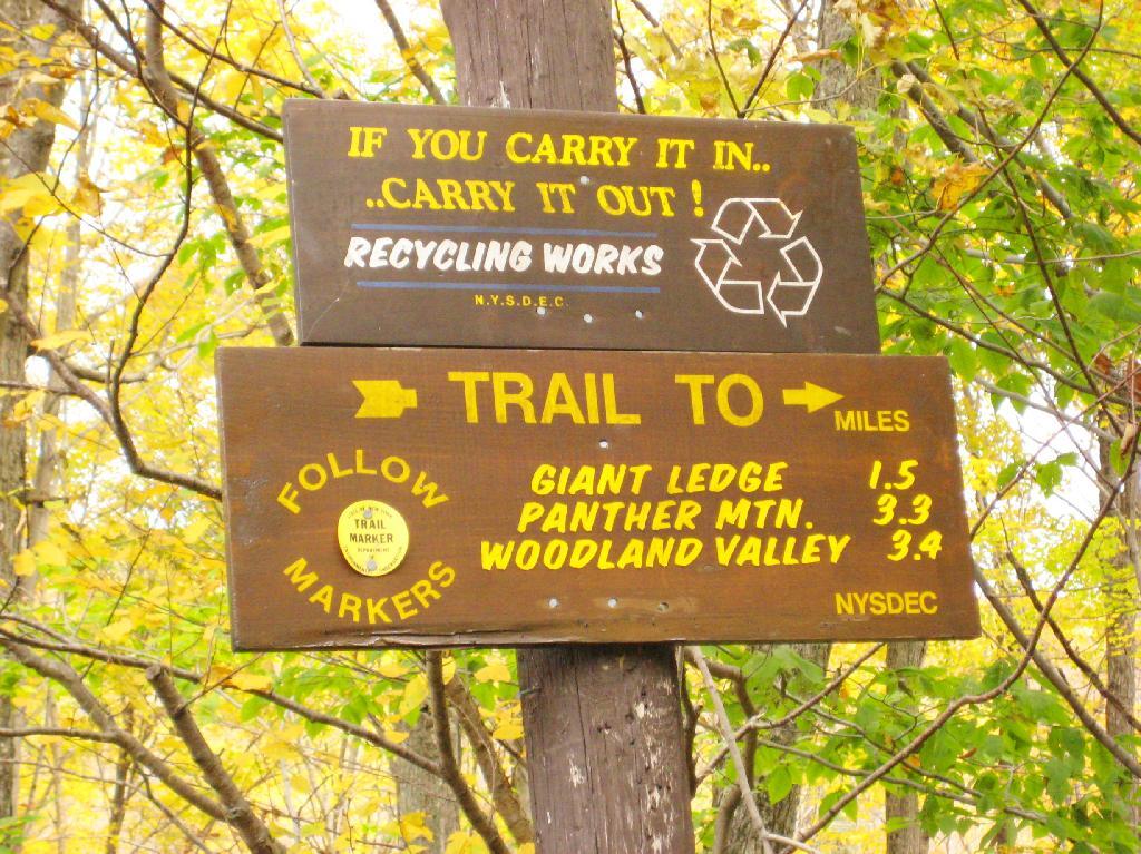
Giant Ledge, October 2009

Giant Ledge is a relatively flat hill located on the ridge between Slide Mountain and Panther Mountain. It can be accessed from the Giant Ledge Parking Area, off of hairpin turn on Slide Mountain Road.

When Thanksgiving Falls, 2000 to 2099

Giant Ledge Parking Area

I went hiking on Columbus Day, a little past peak foliage system after spending two nights camping out in Schoharie County. It is a short hike.

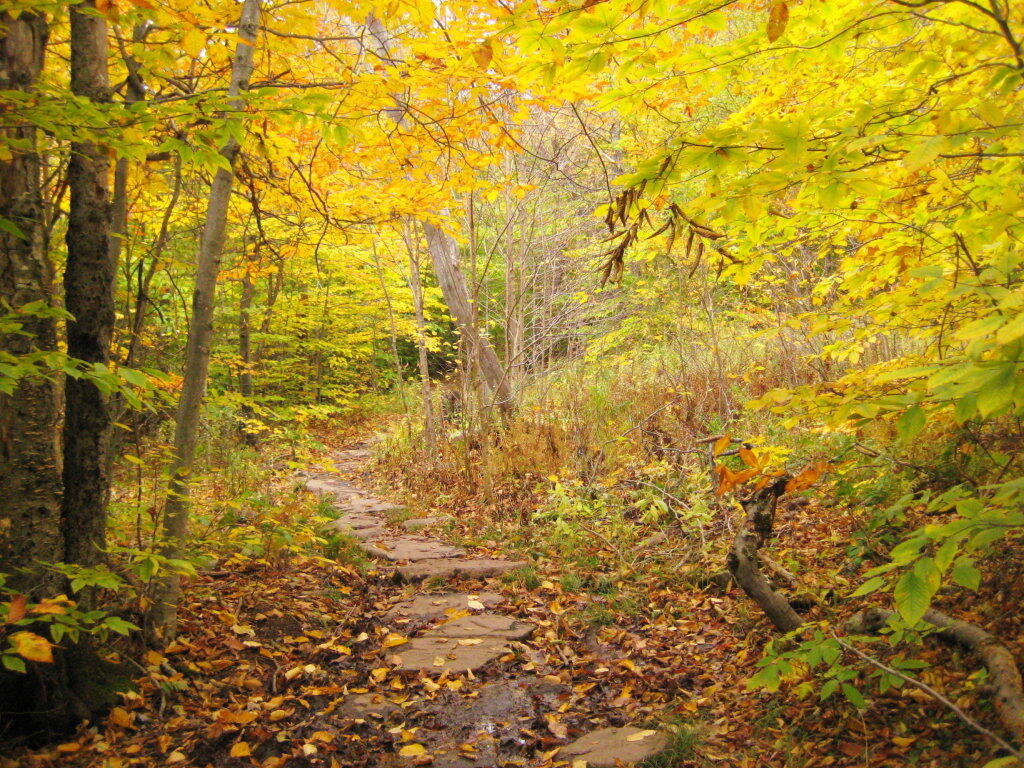
Short Hike to the Ledge

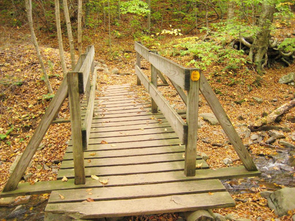
Here is cute little bridge that goes over an unamed creek, running down the northern face of Slide Mountain.

Bridge

After a moderately steep 3/4 mile hike, you reach the “pass” that goes between Slide Mountain and Panther Mountain. This portion is relatively flat, until you reach the last 150 feet of elevation gain, to reach the top of Giant Ledge.

Plateau

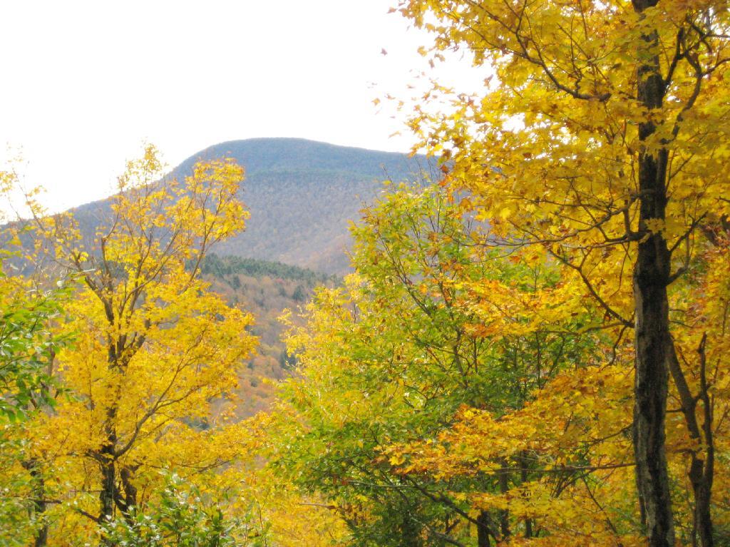
Here is Slide Mountain, peaking through the trees as your going up to the last bit to Giant Ledge.

Slide Mountain

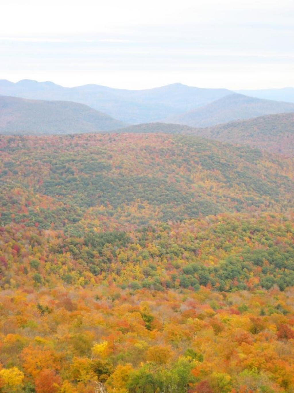
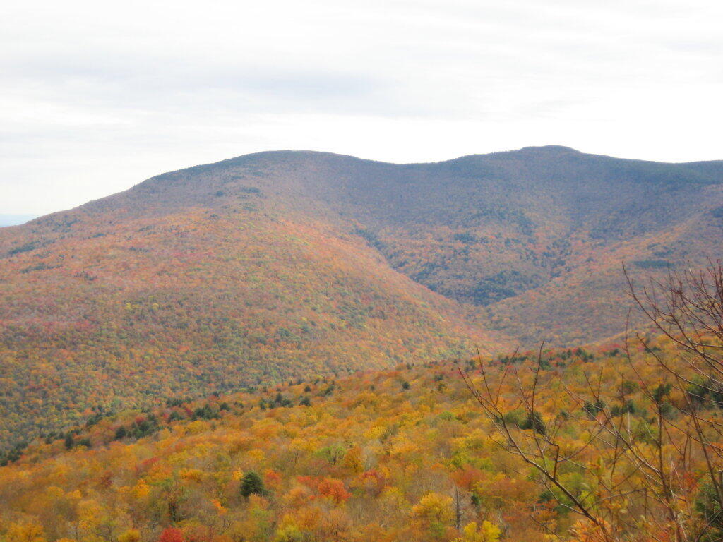
Looking off Giant Ledge, towards Woodlawn Valley (in the colorful foreground), with Plateau Mountain, Twin Mountain, Indian Head Mountain, and in the middle, Tremper Mountain.

 Colors

Here is the Wittenberg and Cornell Mountains.

Wittenberg and Cornell Mountains

This is the Woodlawn Valley’s beautiful colors.

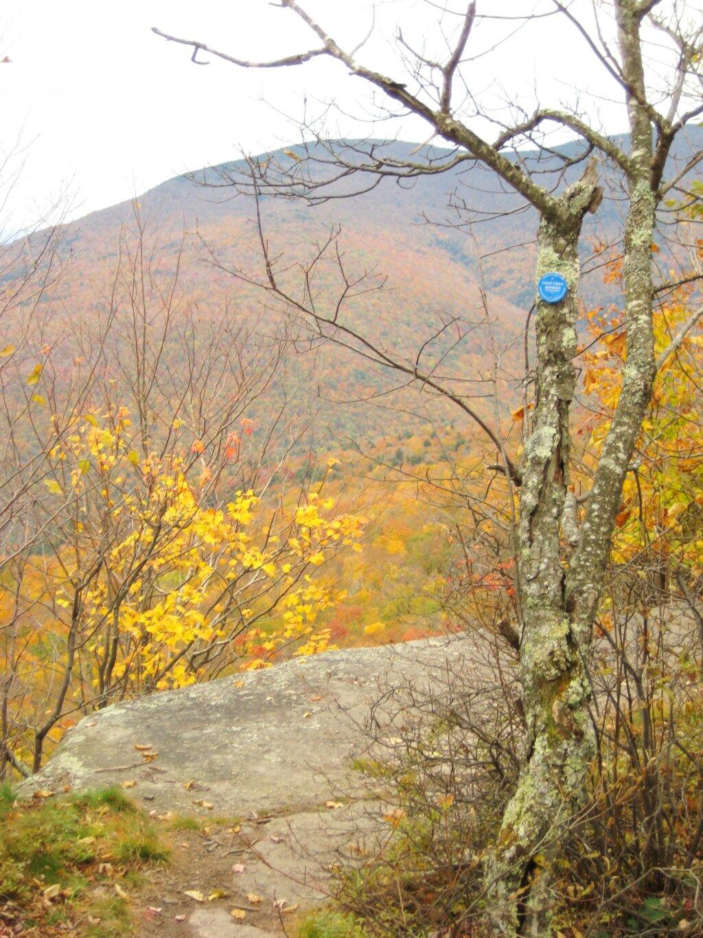
Part of the trail runs right along the edge.

Trail Along the Edge

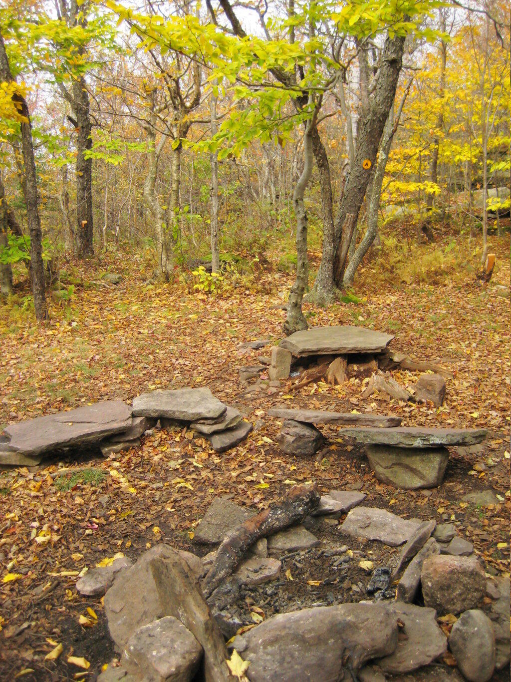
Off the main blue trail on Giant Ledge, there are two campsites at are primative, but nice. This also leads to a trail with views of the Big Indian Valley

Camp Here

Here is the second of two designated campsites on Giant Ledge. There are no campsites on Panther Mountain, which is too high to allow camping. There also is camping on the lower portion Slide Mountain, minus the wonderful views.

Campsite 2

After you hike across the trail to the campsites, there is another short little trail that runs over to a viewpoint with views of Big Indian Mountain, and the Big Indian Valley (where Slide Mountain Road runs).

Across the Potamac River to West VIrigina [Expires November 12 2023]

From here, I hiked up Panther Mountain. Here is a map of the hike.


View Hikes of 2009 in a larger map

Thematic Map: 2020 Major Farm Crops Grown in New York
Thematic Map: Year Building - Constructed in Albany

Slide Mountain

I decided it was a nice day out, and I wanted to be able to say I had gone up to the tallest peak in the Catskills, at 4,180 feet. According to Wikipedia, it may actually be somewhat taller then that (as much as 4,200 feet), but they’ve never done a bench mark on the top of it.

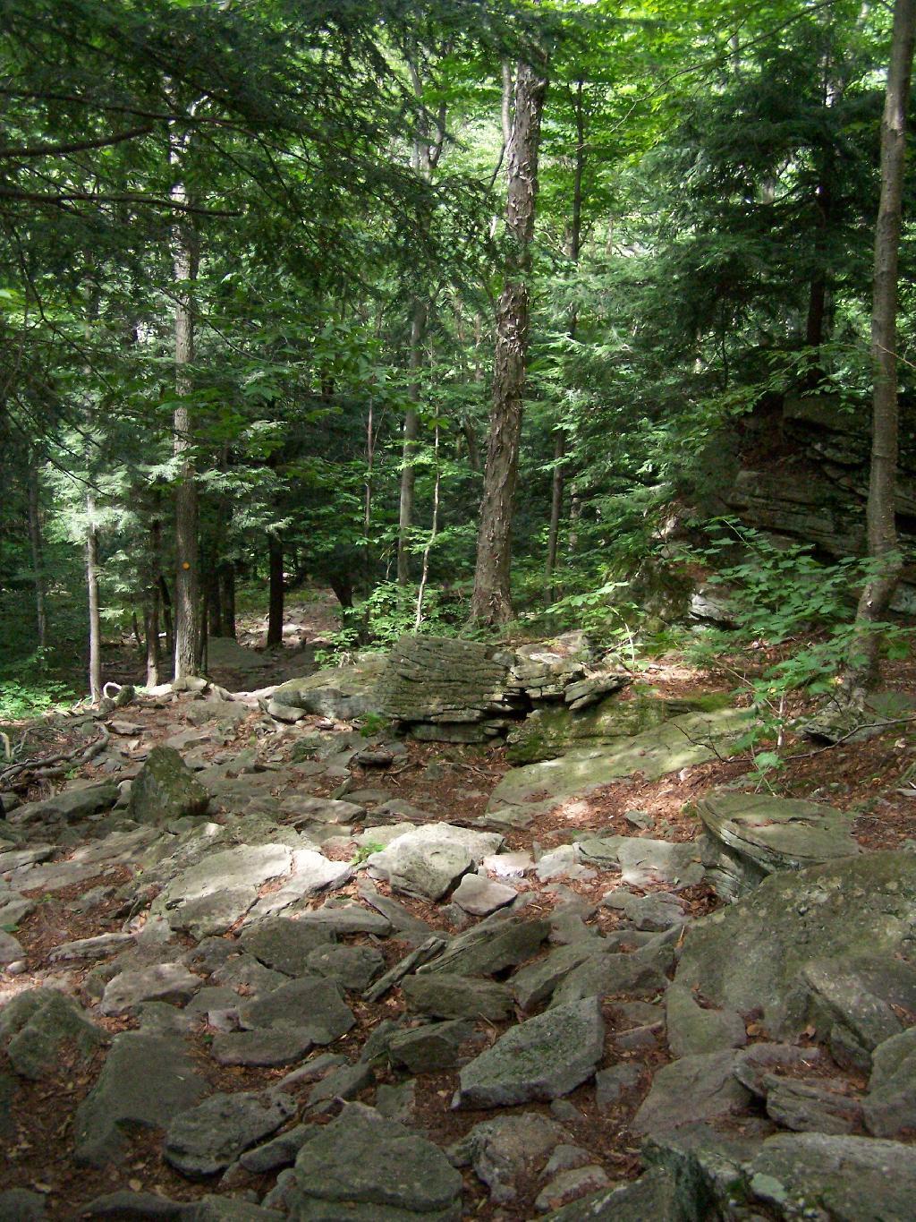
The first part of the trail is fairly steep.

Continuing Downhill

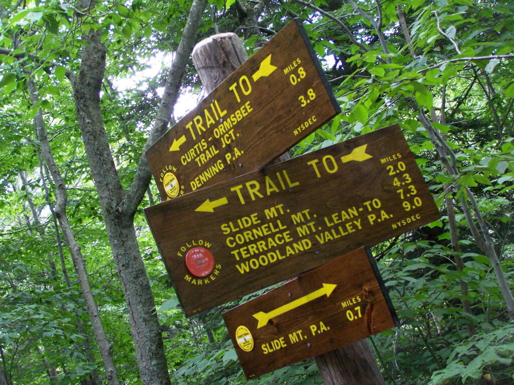
It climbs up to an old woods road, that is an easy walk and relatively flat, as it goes up to the Curtis-Olsbee Trail. You see the split between the old Jeep trail up Slide Mountain, and the the trail to Curstis-Olsmbee.

Slide Mountain Options

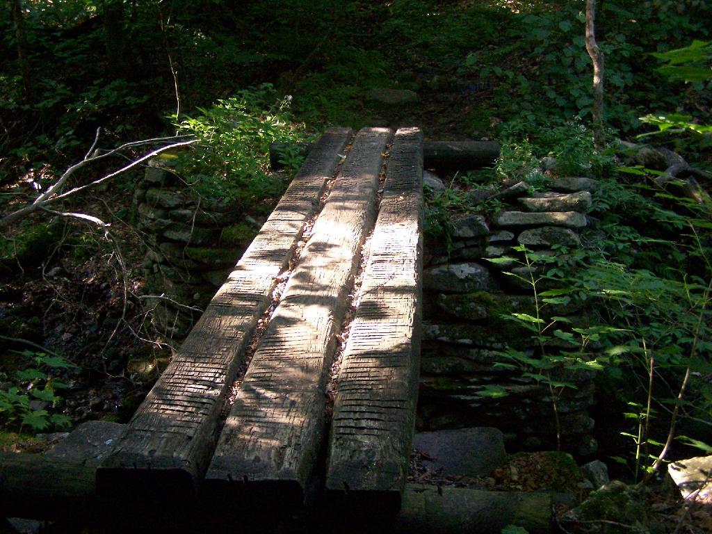
The trail crosses a high footbridge, without rails. It once was a full-size bridge for vechicles, but no more.

Foot Bridge

Reaching a historic marker of Curtis-Olmsbee Trail.

Curtis-Olmsbee Winds Uphill Slowly

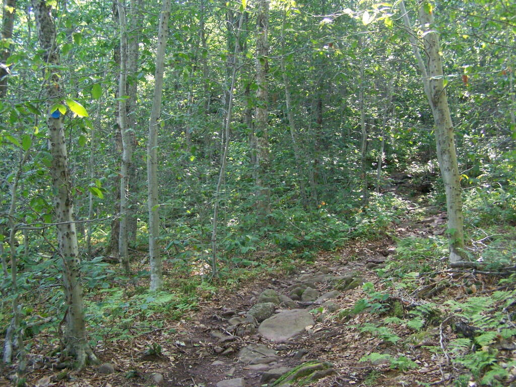
You climb, and then there are some places with views to South and West as you continue along. A few moderately steep places, but overall the trail is not super-steep.

Views to the South

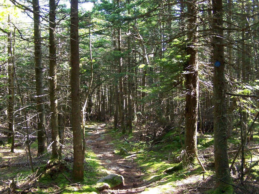
The trail once you reach the first couple of views, remains relatively flat as you wander past several swamps and borreal forests.

Borreal Forest

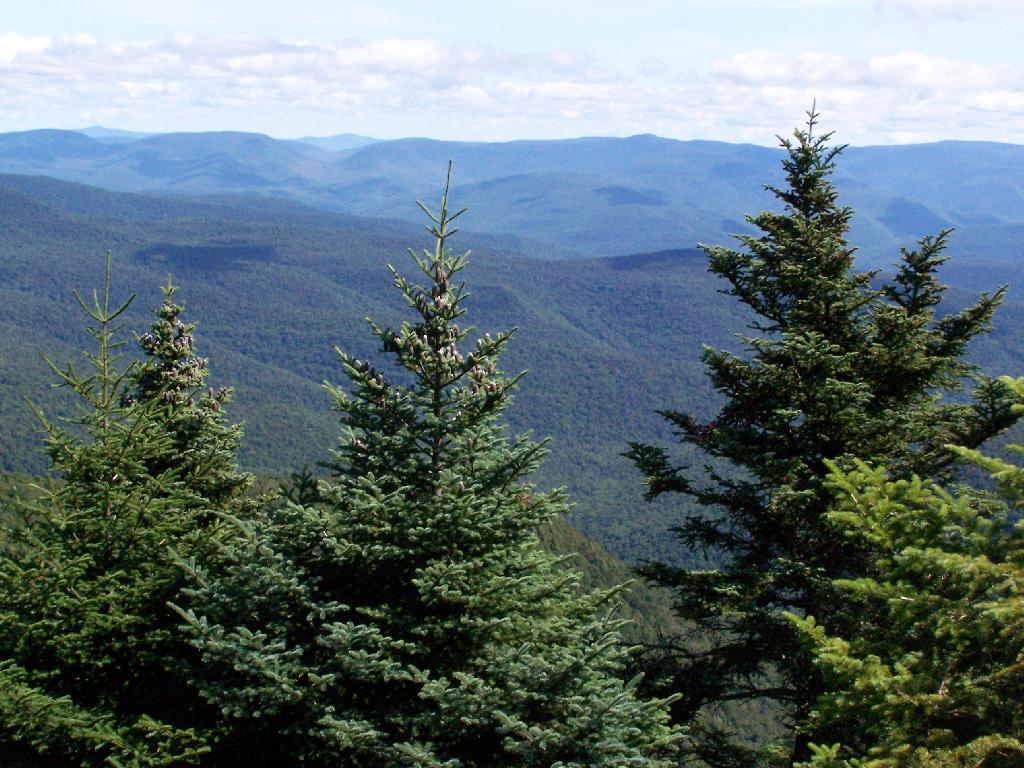
When you reach almost the top there is a point where you can see almost 70 named peaks.

Trees and Mountains

Enjoying the mountains.

Texature

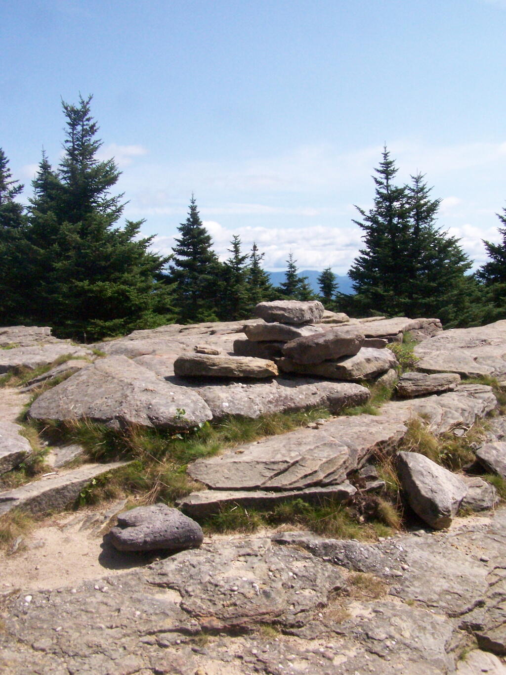
The top of the mountain is John Broughs Point. It has some interesting, partial views to the north and east.

Pinnacle of Slide

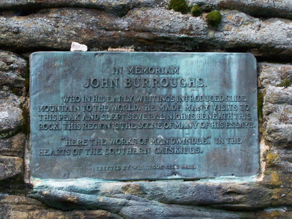
Remembering John Bouroughs

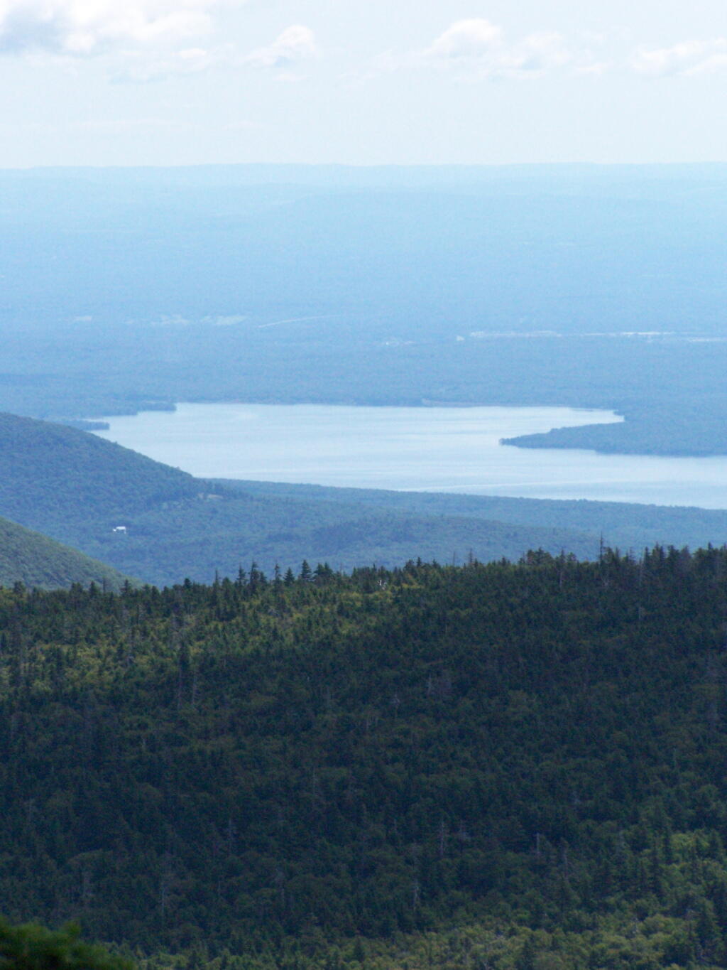
The Ashokan Reservior from Slide Mountain.

Asokahan Reservoir

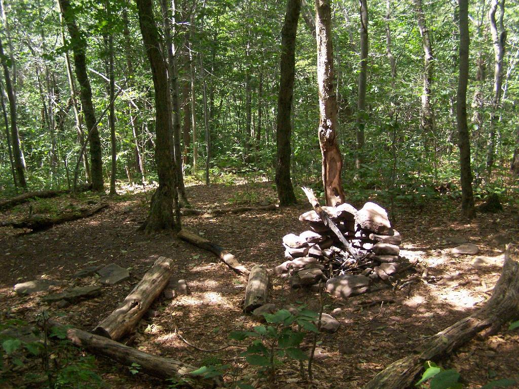
An established, primative campsite about 3/4 the way down the mountain or one mile from the Slide Mountain Parking Area.

Camp Over This Way

Campsite

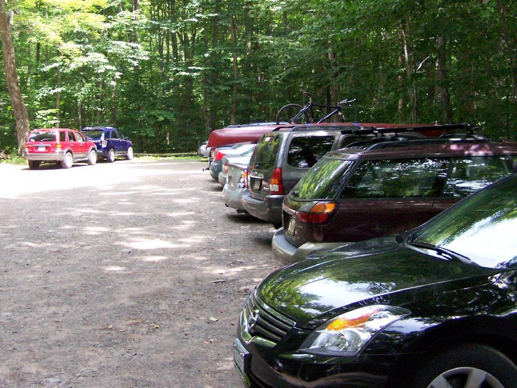
By the time I left, the parking lot was packed.

Packed Parking Lot at Noontime

Here is a map of the route I took.


View Hikes of 2009 in a larger map

Watkins Glen

I happened to be driving through Watkins Glen on my trip from the Finger Lakes National Forest to Sugar Hill State Horse camp, so I figured I would take a walk up the trail once again. I’ve been there before, but I figured this would be a chance to get photos when the light was better.

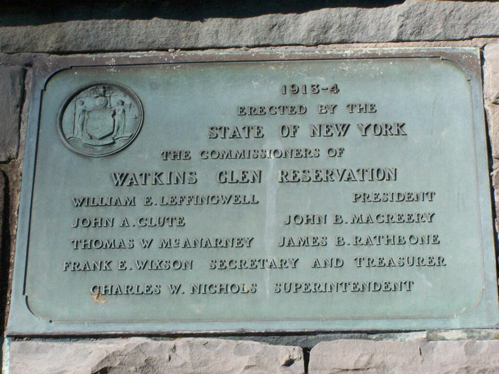
Watkins Glen Sign

The last time I was there it was early in the morning. This proved to be a problem for photograhpy, without a tripod, because it was so dark in there. It was much lighter in the middle of the day, abit much more crowded. It also was a very humid day out there.

Clove

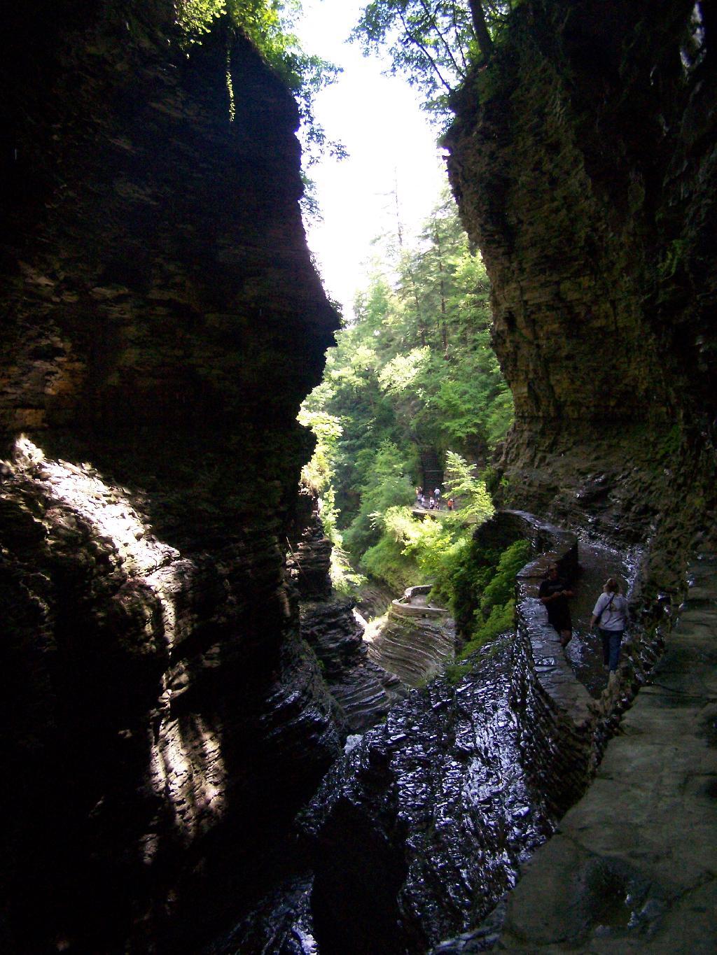
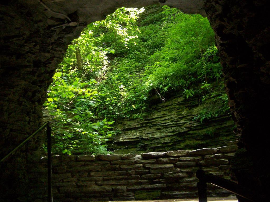
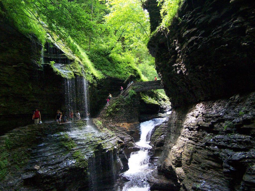
In several sections of Watkins Glen the trail cuts through caves to get around mountain faces, then emereges out to the most beautifully lit green areas.

Green Cave

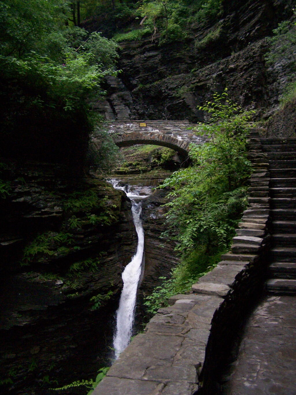
The trail follows the edge of the Glen, crossing it several times on beautiful stone bridges.

Bridge

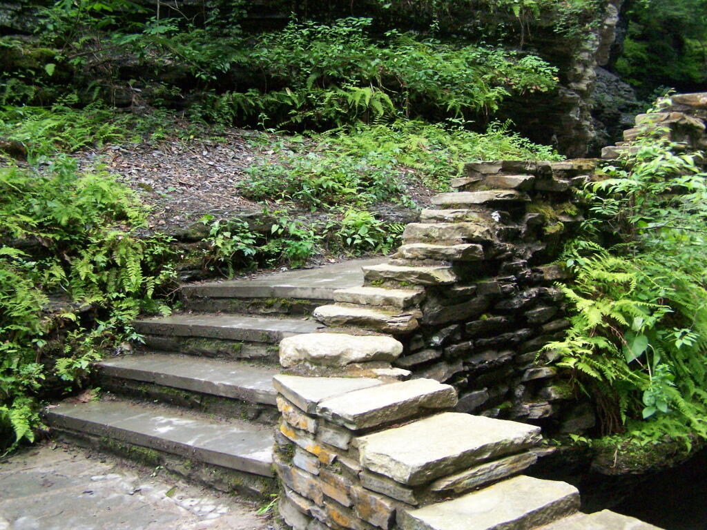
The trail is beautifully designed and a pleasure to walk, although on a humid day like today, it was pretty hot, despite being largely in the shade.

Stairs Turn

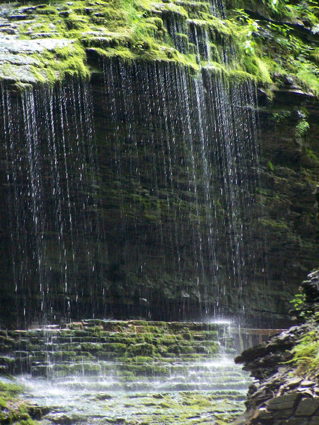
The trail goes under several waterfalls, and after the week’s rainy days, it was pretty wet in spots.

Drip Drop

And almost magical scene in Watkins Glen. This whole area somewhat spirtual feeling, especially on the backdrop of such rich greens.

Stay Dry

When you reach the top of the glen, the waterfalls become farther appart and less steep and the creek is relatively flat.

Year of Peak Employment by County

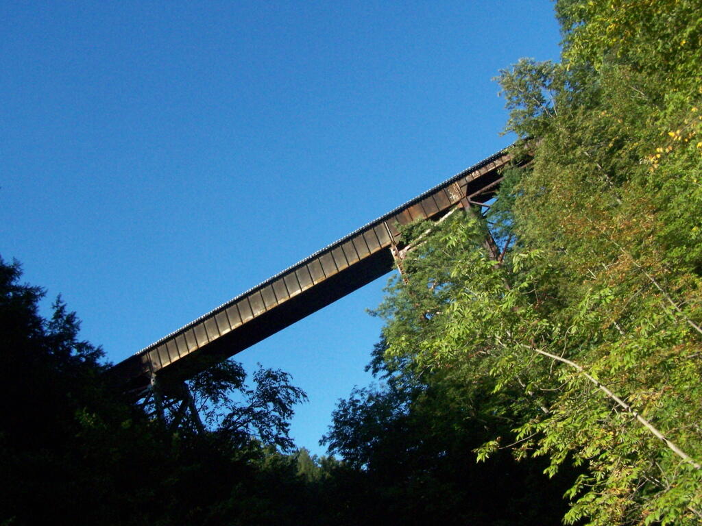
At the top of the Glen is this old railroad bridge. It appears the line is actively used; it would be neat to capture a train going over the Glen. Maybe someday.

Railroad Bridge

Here is a map of the trail I walked in Watkins Glen.


View Hikes of 2009 in a larger map

Here are maps of Watkins Glen.

Vromans Nose

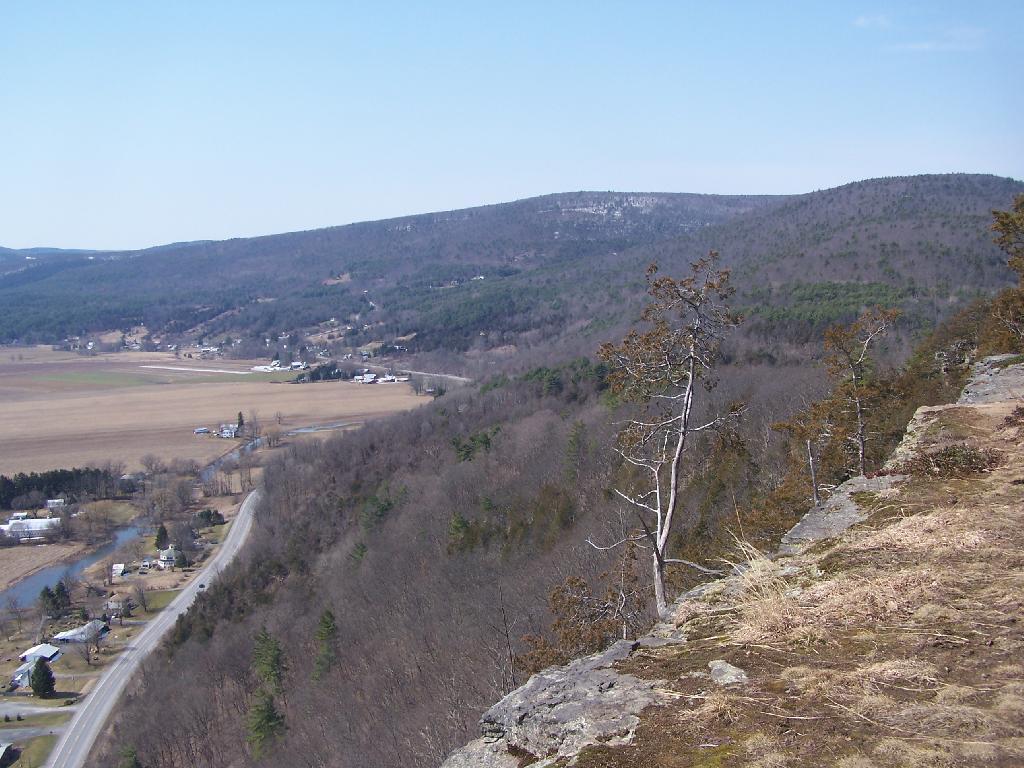
After spending the night at Burnt Rossman I decided to go up Vromans Nose for a short hike, where I could sit out and watch over the Schoharie Valley and take some pictures. I’ve been up Vromans Nose a dozen of times before, but it’s always nice to go up for another visit.

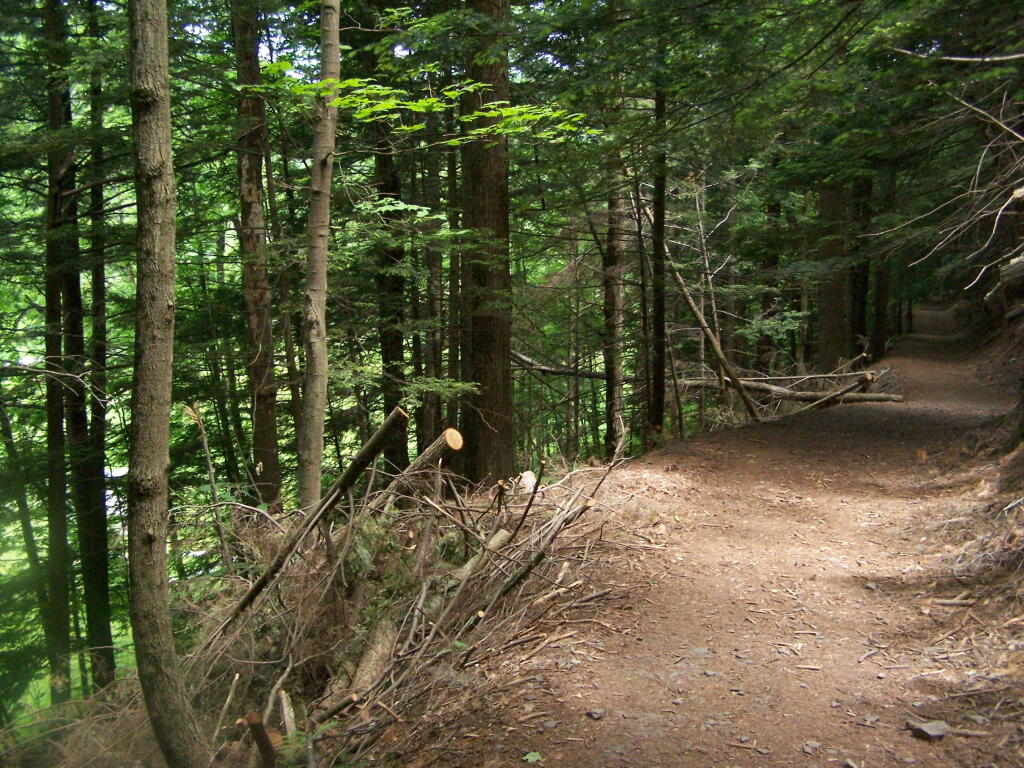
The old roadbed up the mountain.

Old Road Bed

The edge of the mountain.

Edge

With thunderstorms coming in the sky was the most interesting of colors.

Pinkish

I spent about an hour up there before coming down.


View Hiking in 2009 in a larger map