outdoors

Hamilton Street is Not the Adirondacks or Catskills

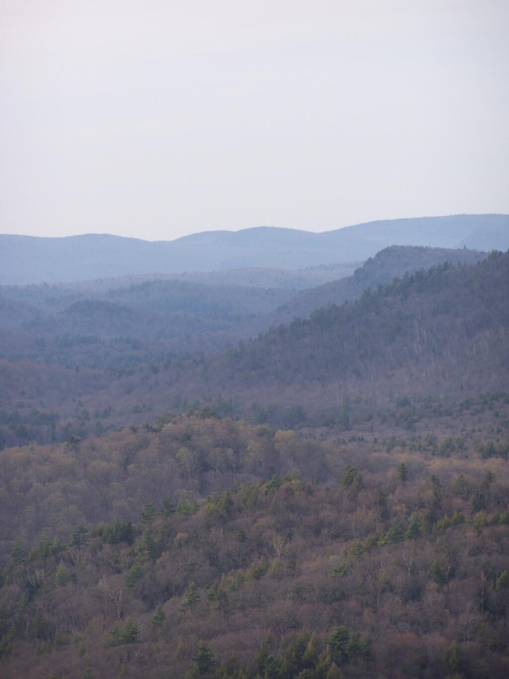
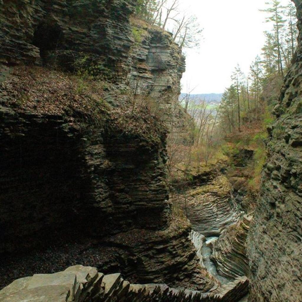
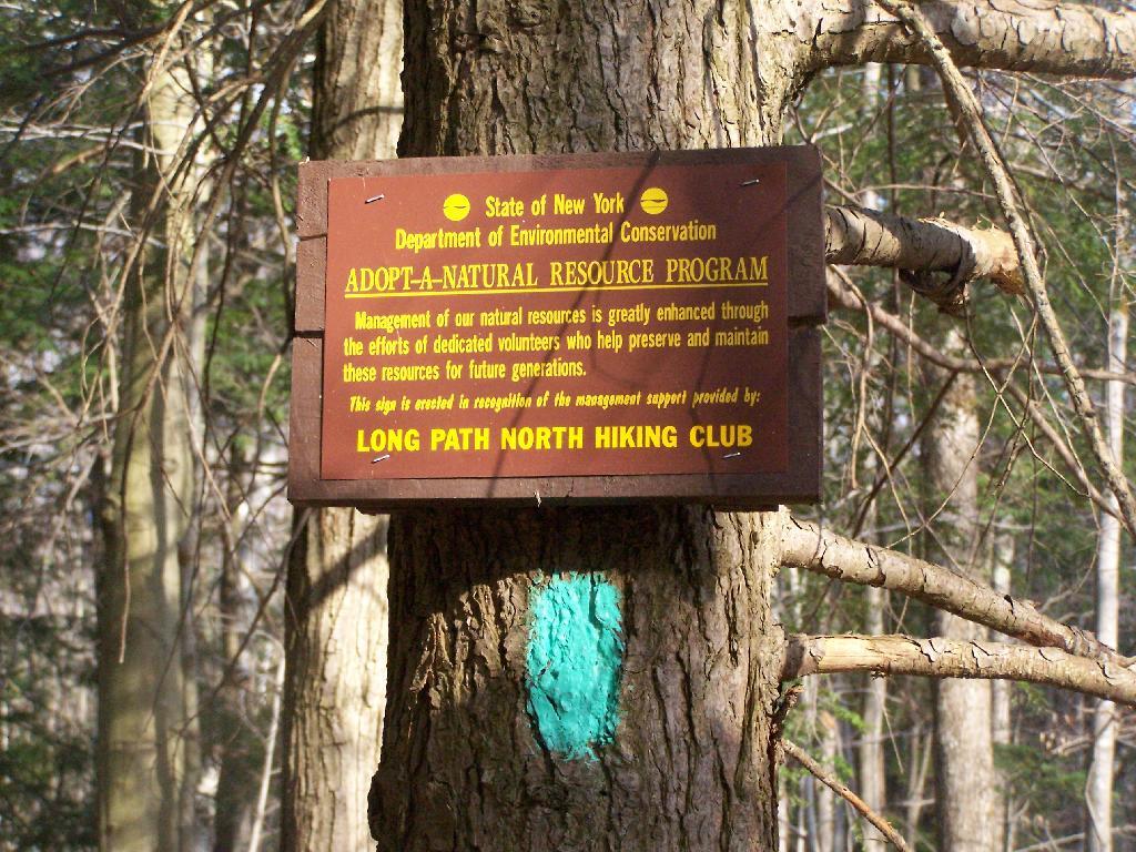
There has been for quite some time some confusion in downtown Albany, on whether or not Hamilton Street is the Adirondack or Catskill Mountains. After all, this street is known as “Environment Row”, and is home to a cluster of environmental lobbyists, who think they represent the interests Adirondacks and Catskill Mountains.

To verify whether or not Hamilton Street is in the Adirondacks or Catskills, we will use Google Maps.

Of course as Google Map informs us, Hamilton Street is nowhere near either the Catskill Mountains or the Adirondack Park for that matter. It’s kind of in the middle, in downtown Albany.

Of course, if you want, you can take Hamilton Street to South Swan Street (a one way street), which takes you to South Mall Arterial (an expressway), which ultimately takes you to Interstate 787 North, which you take until Alternate Route 7, and ultimately the Adirondack Northway, which within 60 miles takes you to the Adirondacks.

Alternatively, you can take I-787 South to the Thruway or NY 32, and get to the Catskills that way. So while Hamilton Street, is the most convenient way to get to I-787 Arterial to take you the Adirondacks or Catskills, it’s not either the Catskills or Adirondacks.

SVGZ Graphic: Households Recieving Cash Welfare or Food Stamps
SVGZ Graphic: Cancer Rates vs Expected Cancer Rates, Capital Region

Camping at Alder Lake

In the western Catskill Mountains, near Margretville and the Pepacton Reservior is Alder Lake, and old resort lake that is now State Forest, and offers primitive camping around the lake. It is backpack only in, however it is a short walk from the parking area to the approximately 7 designated primitive campsites around the lake.

Primative Campsite II

The 77-acre man-made lake, is handsomely surrounded by a high mountains of the Mill Brook Range, and other unnamed mountains. It is a 6-mile hike to the east to get to Balsam Mountain, home of a fire tower.

Coykendall Lodge Ruins

Setting up my tent at one of the campsites.

Primative Campsite and Table

Setting Up My Tent

The 1.5 mile trail around the lake has several interesting views of the lake.

Marshy End of the Lake

Along Edge of Alder Pond

Several of the campsites have stone chairs, and other things made out of natural products.

Stone Chairs

Cooking dinner.

Cooking Dinner

It was a beautiful night out there.

Watching the Campfire Burn in the The Evening

Here is a map of Alder Lake.


View Alder Lake in a larger map

Bird’s Eye Views of Partridge Run

For today’s fodder, we will be checking out some of the land features of Partridge Run from Google Maps Satellite pictures.

1) The Gulf.

The Gulf is one of the most notable features of Partridge Run. A deep cut into the land, it’s cliffs are steep. Going in their, you find plants and animals that can survive only with darkness for long periods of time.

Google Maps.

Photo of Area.

Colors

2) Upper Gravel Pit

This is the gravel pit off of Peasley Road. It’s the biggest gravel pit at Partridge Run, and always an interesting place to explore, with shot up targets and other interesting places.

Google Maps.

Photo of Area.

3) White Pine Planation Next to Man-Made Swamp.

This swamp / pond is man-made dike, next to a dense white pine planation, planted by the Civilian Conservation Corps.

Google Maps.

Photo of Area.

Beaver Pond

4) Lower Pond on Beaver Road.

This pond is another man-made one with a long dike.

Google Maps.

Photo of Area.

Lower Pond on Beaver Road

5) Partridge Run Road.

A rather muddy Partridge Run Road in early springtime.

Google Maps.

Photo of Area.

 Mudding

Thematic Map: Percentage of Green Cars
SVGZ Graphic: Median Vehicle Age

Kane Mountain Fire Tower

Kane Mountain is located next to Canada Lake, which is just north of Caroga Lake on NY 10. I hiked up there one evening, after spending the day hiking in the South-Central Adirondacks. It is a wonderful, quick hike, perfect after a long day of hiking or outdoor activities as one heads back to the Mohawk Valley or Albany as the case may be.

Firetower After Dark

The trail up Kane takes you up about 500 feet in elevation over a 1/2 mile. It’s an old woods road, and well traveled, so don’t worry about hiking after dark if you have a flash light or even just moonlight.

Trail Up Kane Mountain

Reaching the top of the mountain you reach the Firetower and an old Forest Ranger’s cabin, which sadly has been broken into and vandelized. It still was interesting to walk in and take a look at the cabin, including the tiny little woodstove that once was there. The bunks and other furniture where long gone from it.

Ranger's Cabin on Kane

Remind me again why people have to be such pigs?

Inside Kane Mountain Ranger's Cabin

The Fire Tower has some really interesting views out of it, and it is an interesting place to watch the sun set from in the evening. Here is looking from the windows of the observer station, which have the glass removed.

East Through Tower Window

Looking due South, you can see Canada Lake, Sheely Mountain, and the Mohawk Valley to the South. Once you get South of Sheely Mountain, the area around Caroga Lake is relatively flat until you get to the other side of the Mohawk Valley, with the ridges Schoharie High Lands.

Sheely Mountain

The light flickers over West Lake, which is connected to Canada Lake.

West Lake

Looking at the Southern Adirondacks, heading North along the NY 10 Coridoor. Until recently visiting this portion of the Adirondacks, I always generally viewed these lands as relatively flat, but instead as this picture shows, actually is fairly rugged, with peaks in the 2,000-2,500 elevation range, which is about 500-1,000 above the valleys below. Not flat exactly.

Mountains

Watching the setting sun from the Fire Tower.

Setting Sun

Through the tower windows in the cab as the sun sets.

Gorge

Due to the clouds, it wasn’t a perfect sun set, but just before the sun disappeared into the clouds, here is what I saw.

Good Night from the Tower

After sunset, looking at the fire tower by the last light of the day.

Firetower After Dark

Hiking back there was a full moon.

Moonlight Descending the Mountain

Here is a map of the hike.


View Kane Mountain Firetower in a larger map

Thematic Map: Susquehanna Watershed
SVGZ Graphic: West Virginia Population Density

Hiking to Rossman Hill Lean-To

I’ve camped up at Burnt-Rossman State Forest a couple of dozen times. It’s one of my favorite places to go out truck camping, with it’s remote and quiet nature, and while I had known from maps that there was a lean-to up there, that one could hike to, I had never actually visited it. I had spent the previous night tent camping, and being up early, decided to check out the lean-to.

Campsite

The lean-to is located on the section of the Long Path that crosses Morey Road, just south of Rossman Hill Road, right next to the old cemetary. Alternatively, you can access the lean-to from Burnt Hill Road, just up the hill from where Duck Pond Road splits off. The lean-to is located about a 1/2 mile from either road. Regardless of which way you choose to go, it’s a nice level hike through marshes and old timber stands.

Through the Woods

And old woods roads…

Adopt a Natural Resource

As you past by the headwaters of the Cole Brook, which ultimately helps feed the Schoharie Creek.

Headwaters of Cole Brook

And the lean-to is really nice looking and only used occassionally, mostly by the locals.

Lean-To Side

And it’s nearby a spring, or at least a marshy area that never gets wet.

Spring

It’s definately some place I would like to stay some day.

 Looking Out the Lean-To

Here is a map:


View Rossman Hill Lean-To in a larger map