of

Kayaking Beaver Creek, August 2011

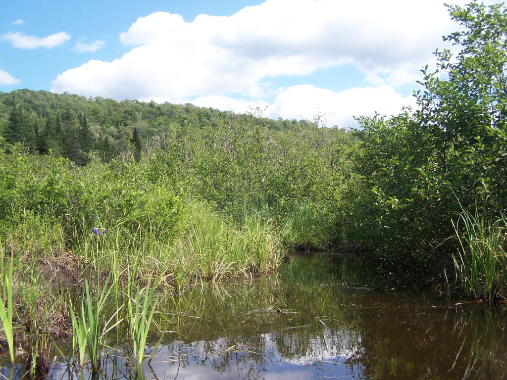
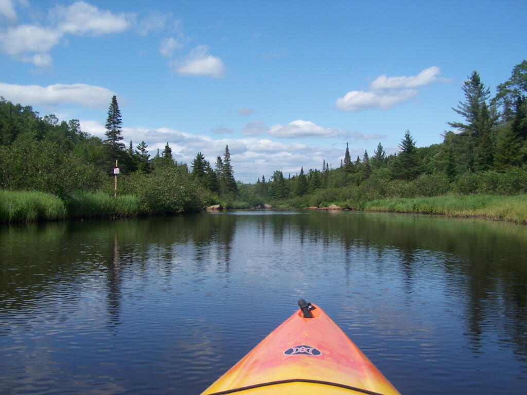
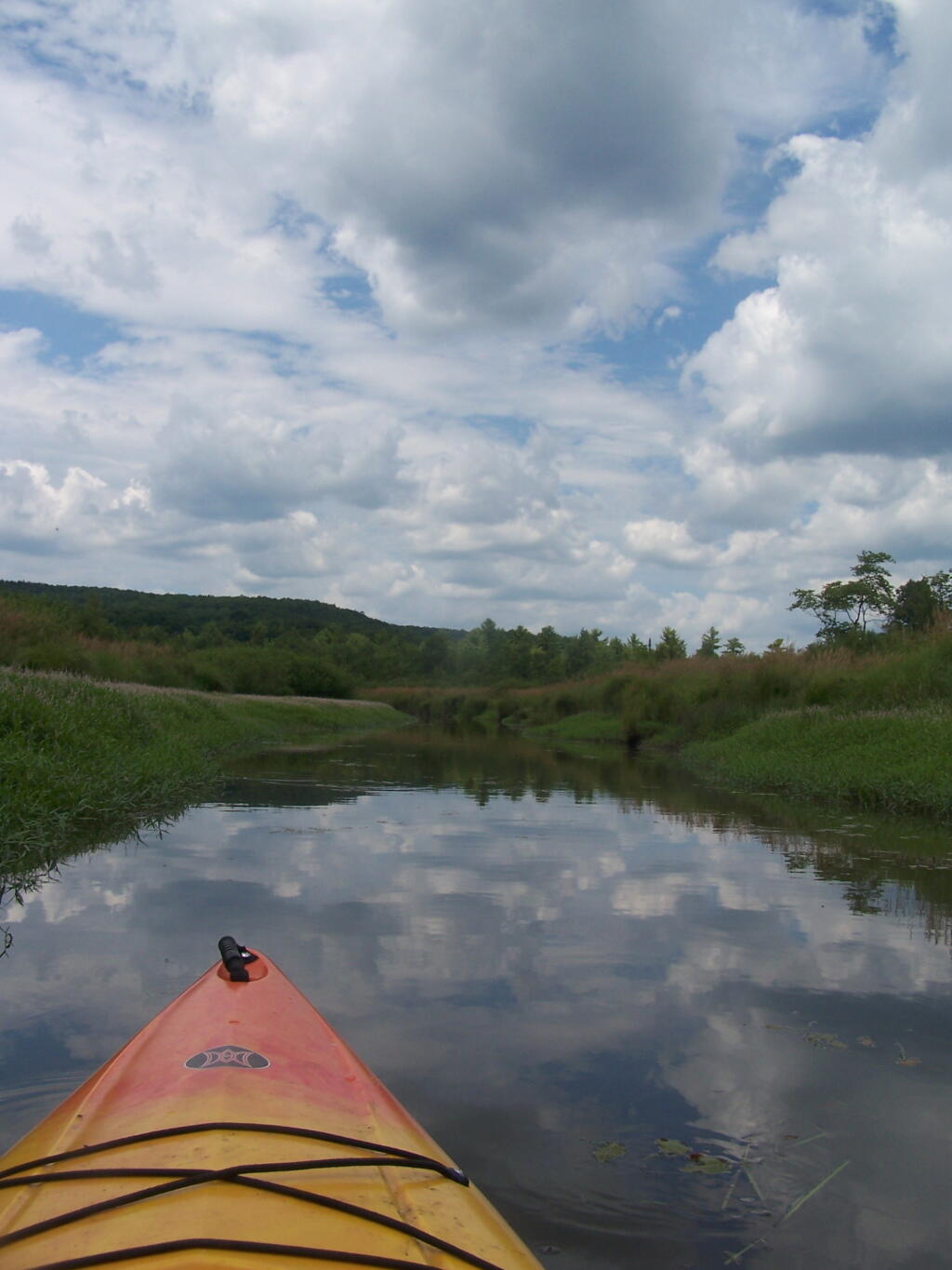
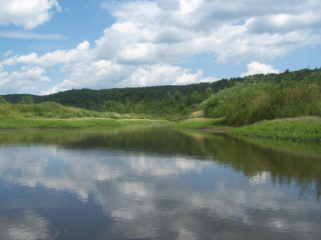
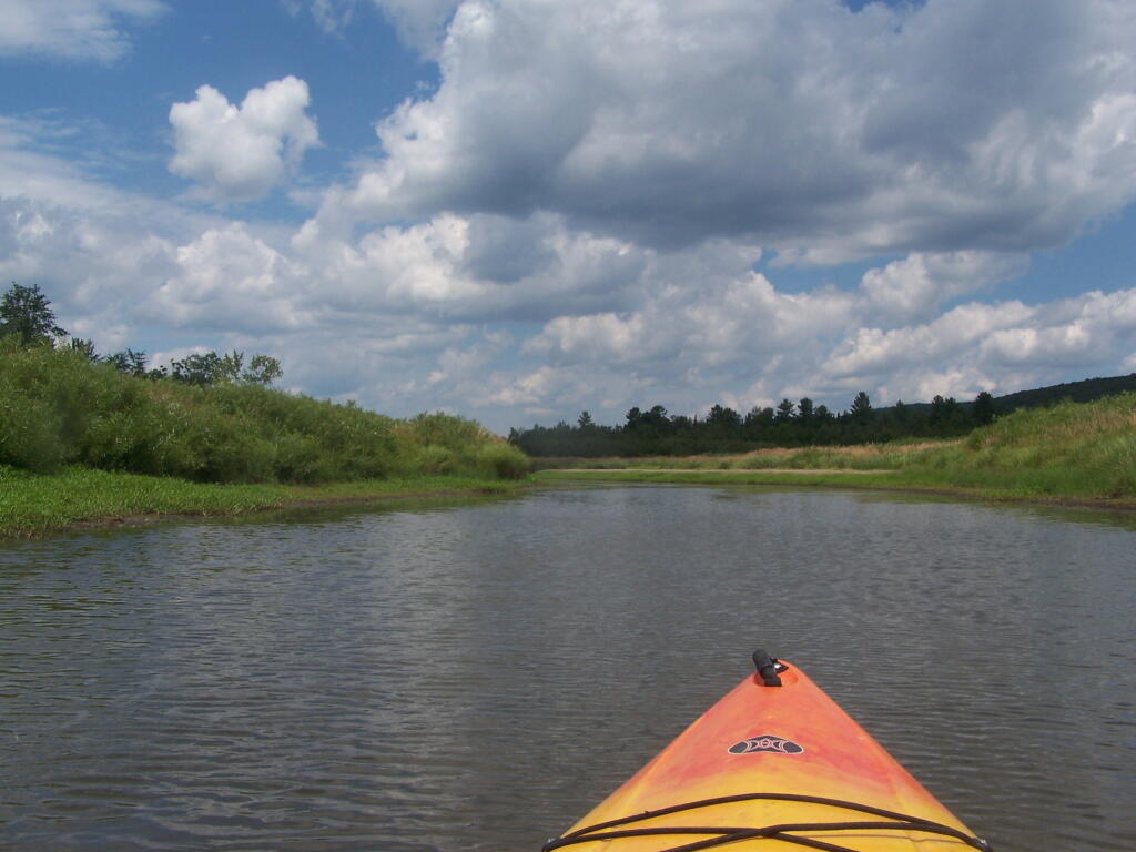
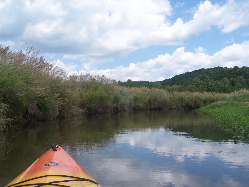
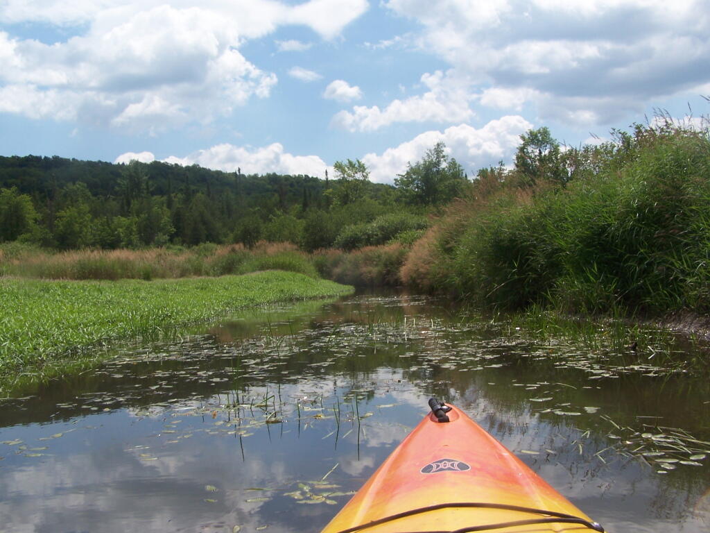
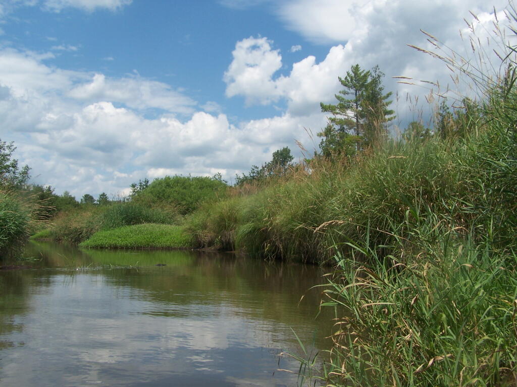
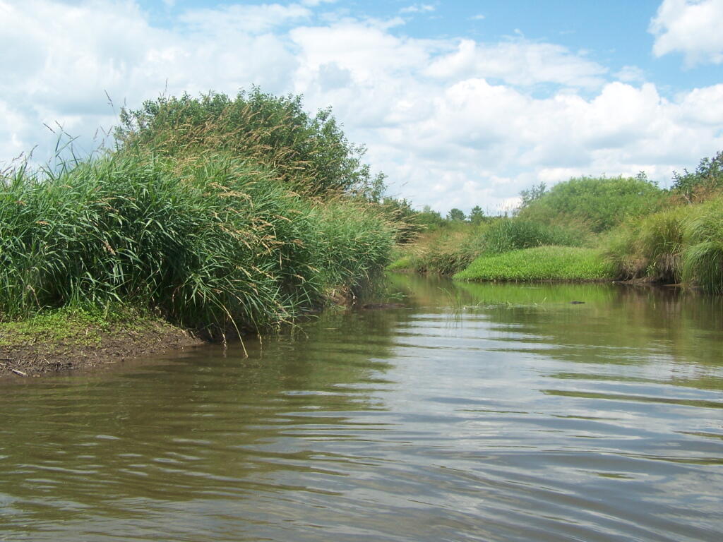
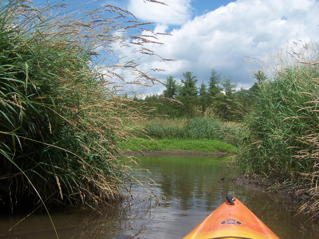
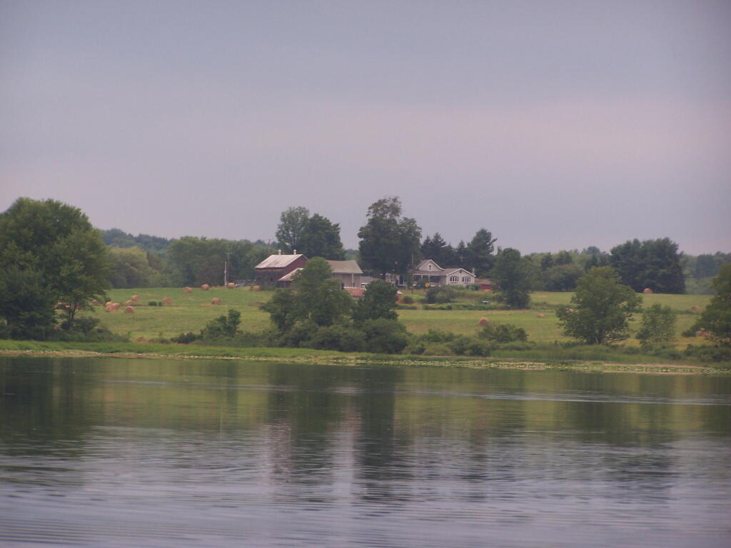
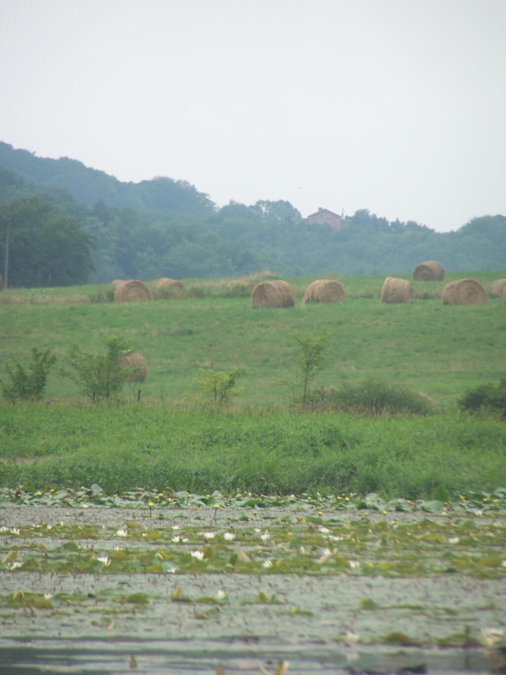
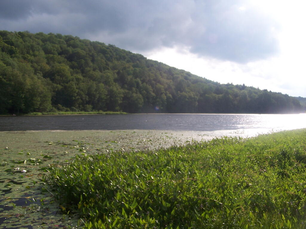
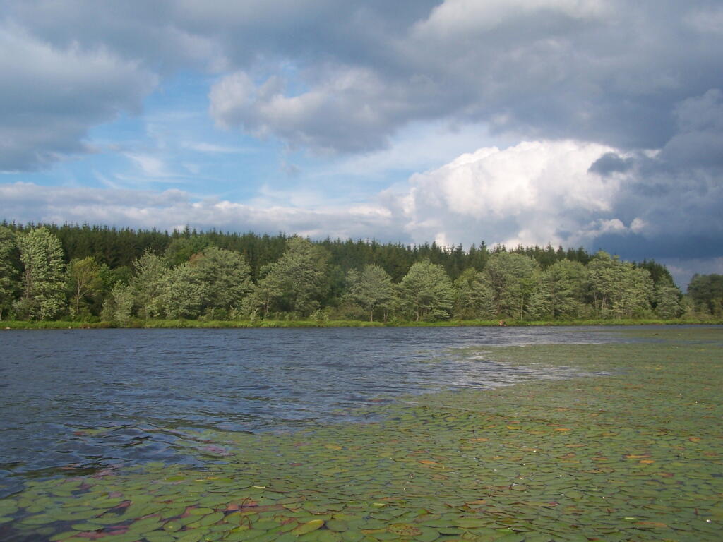
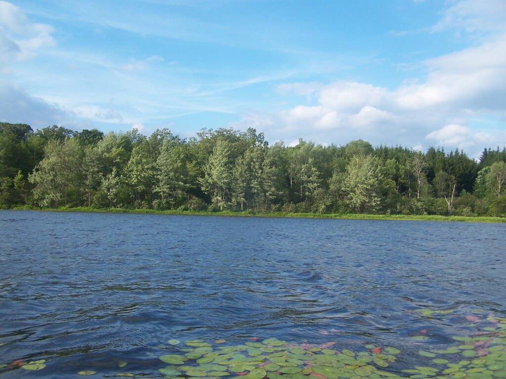
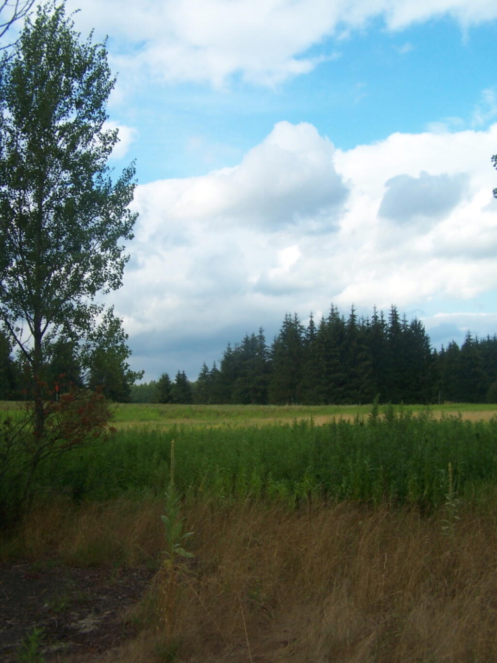
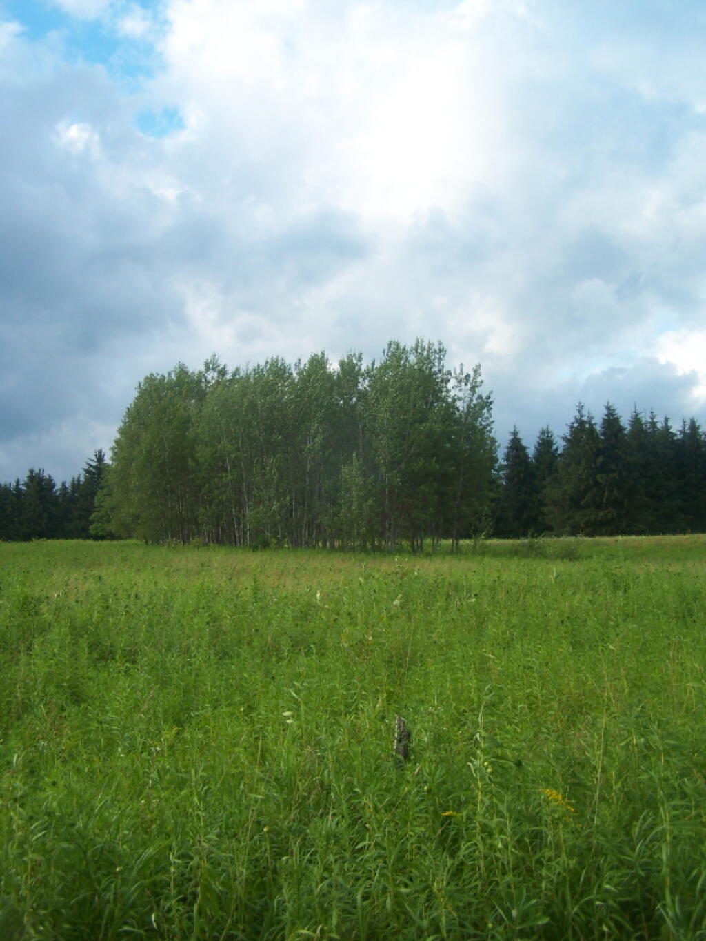
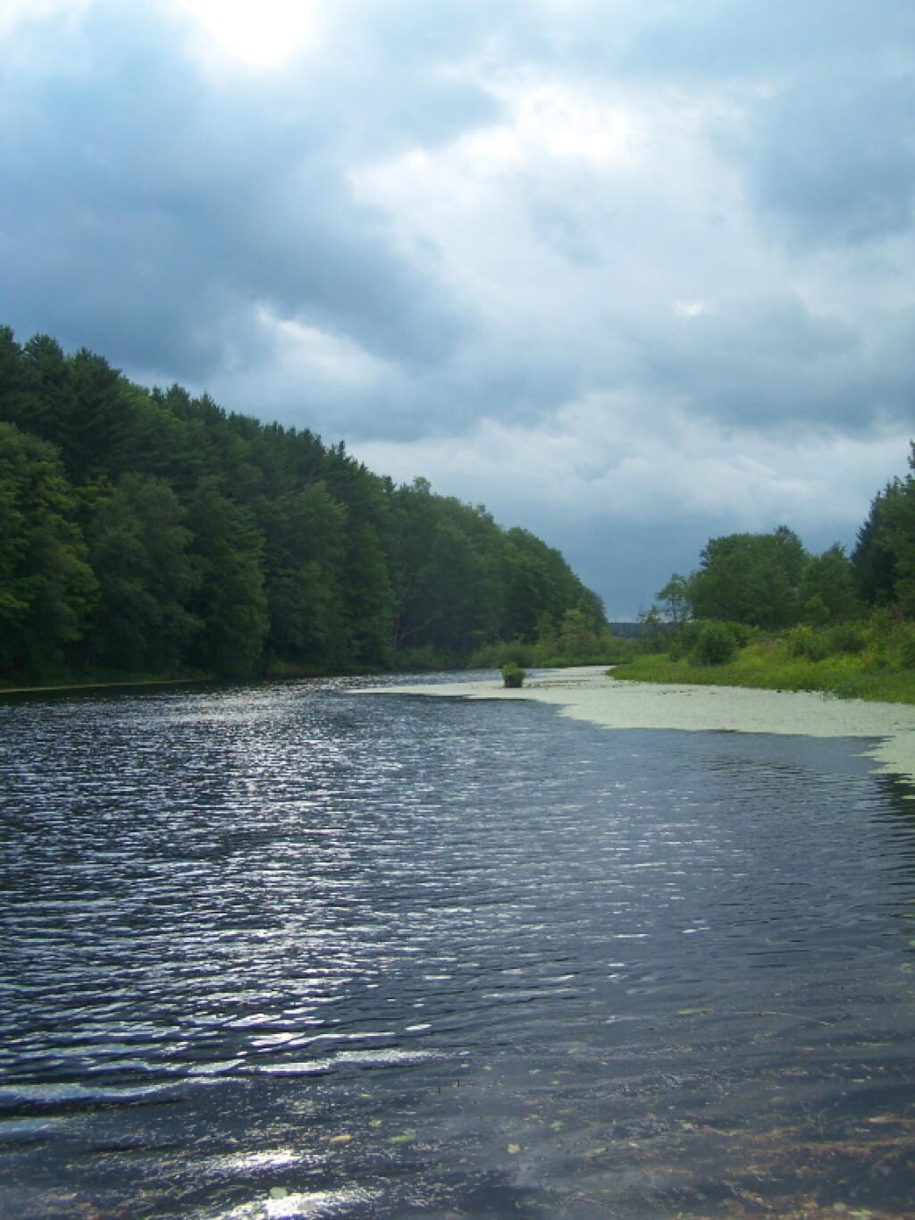
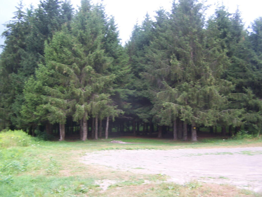
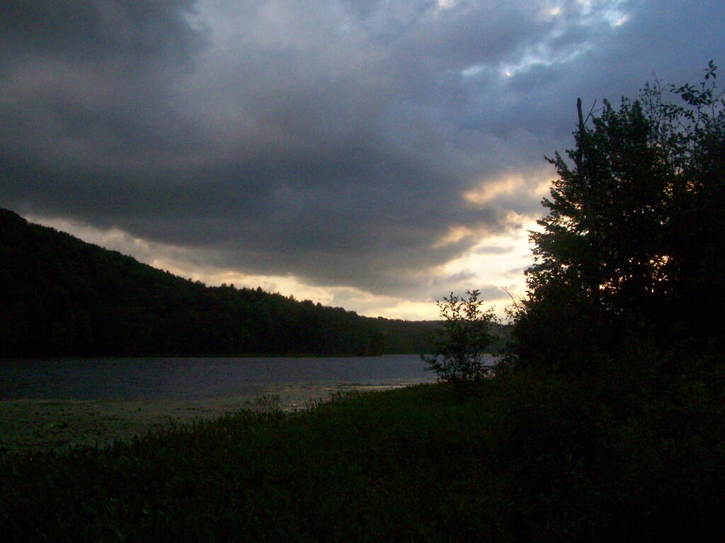
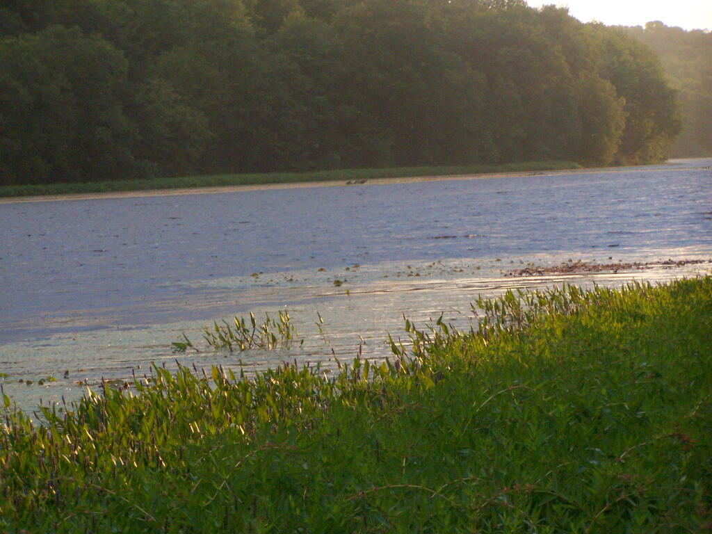
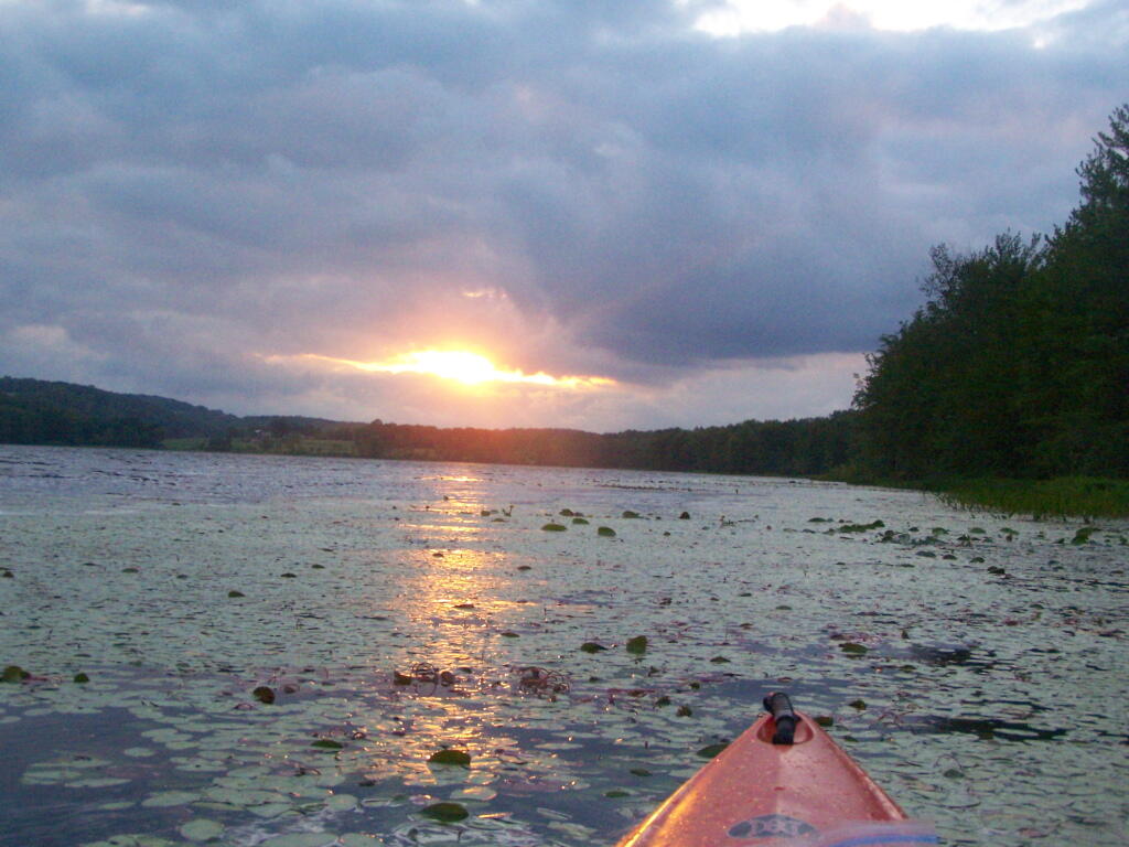
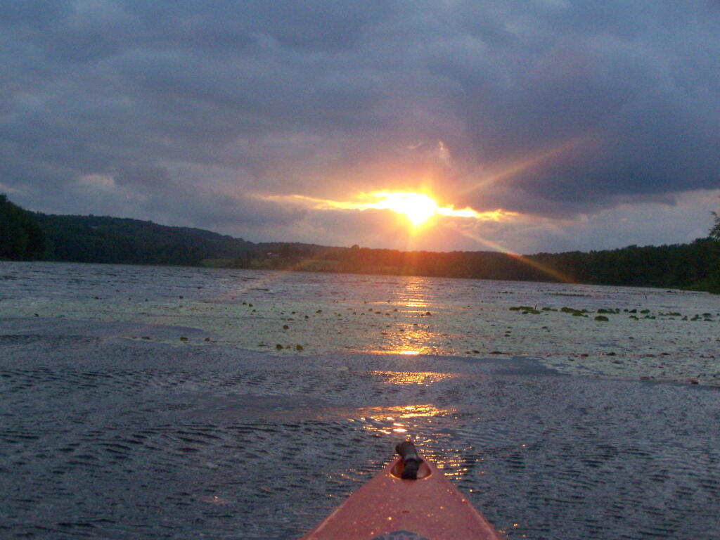
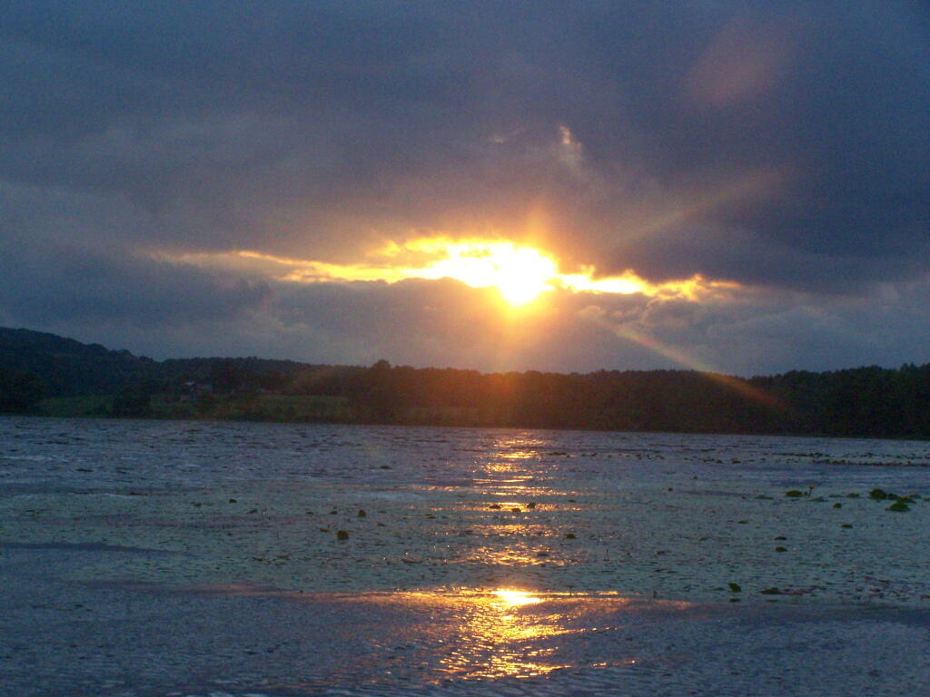
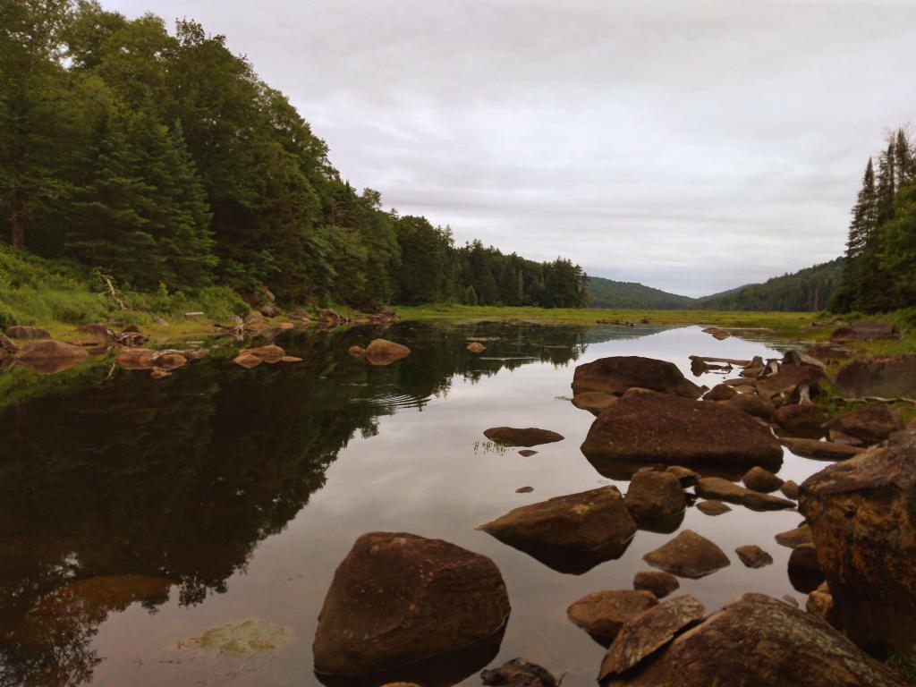
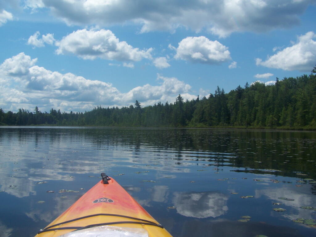
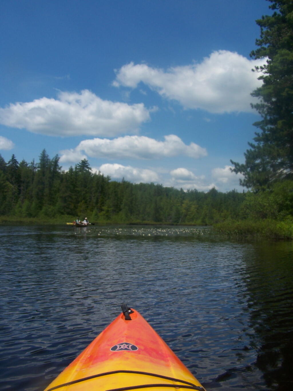
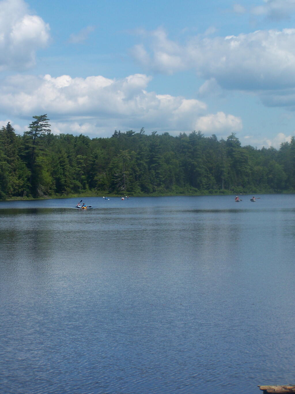
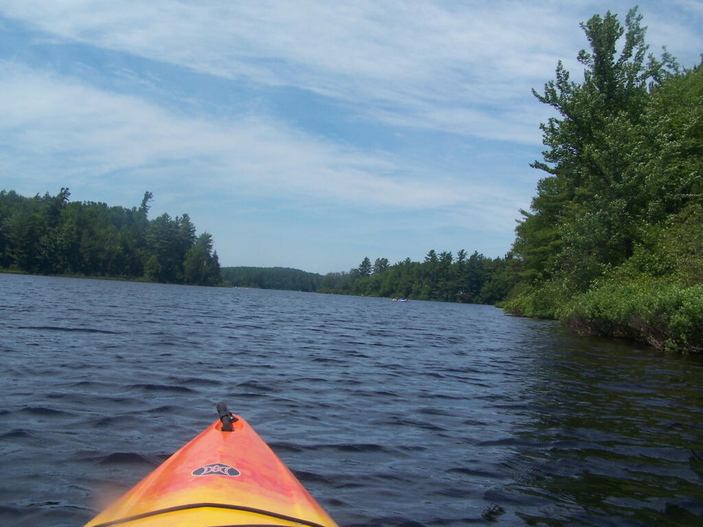
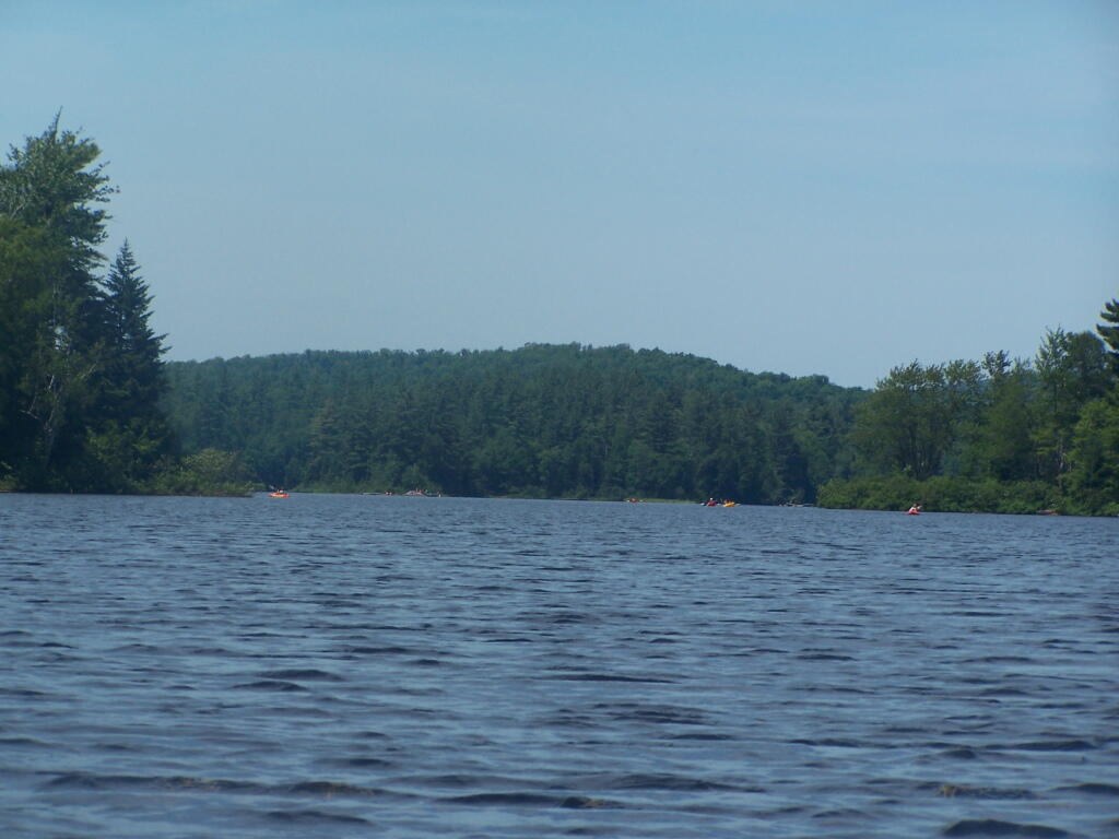
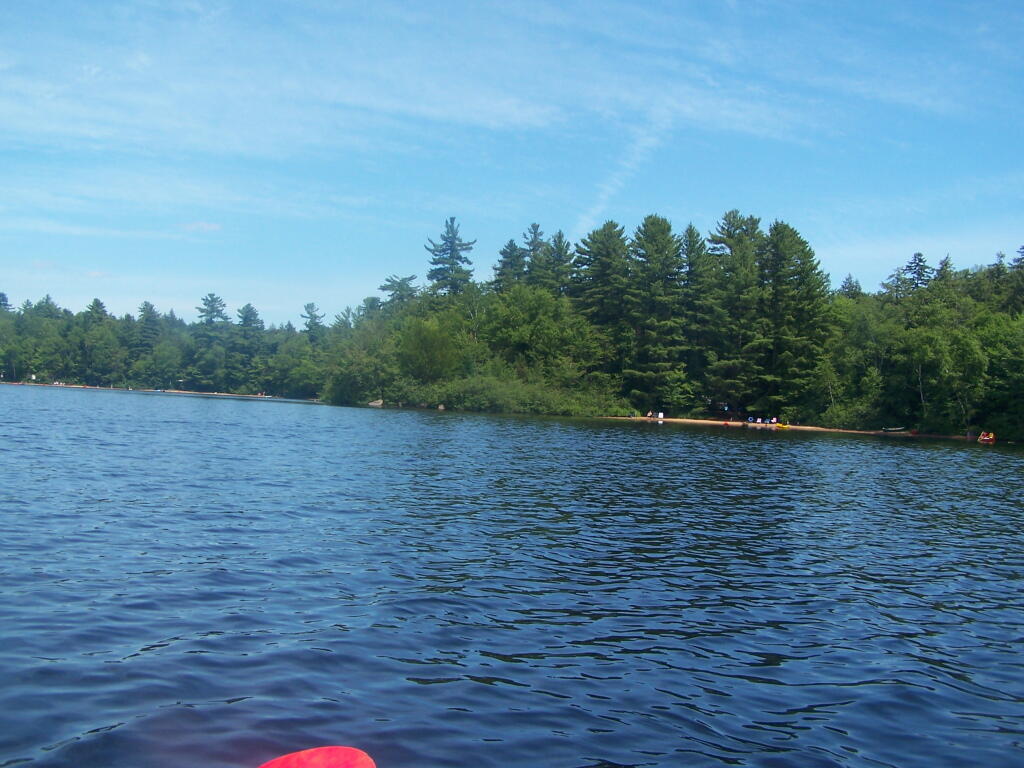
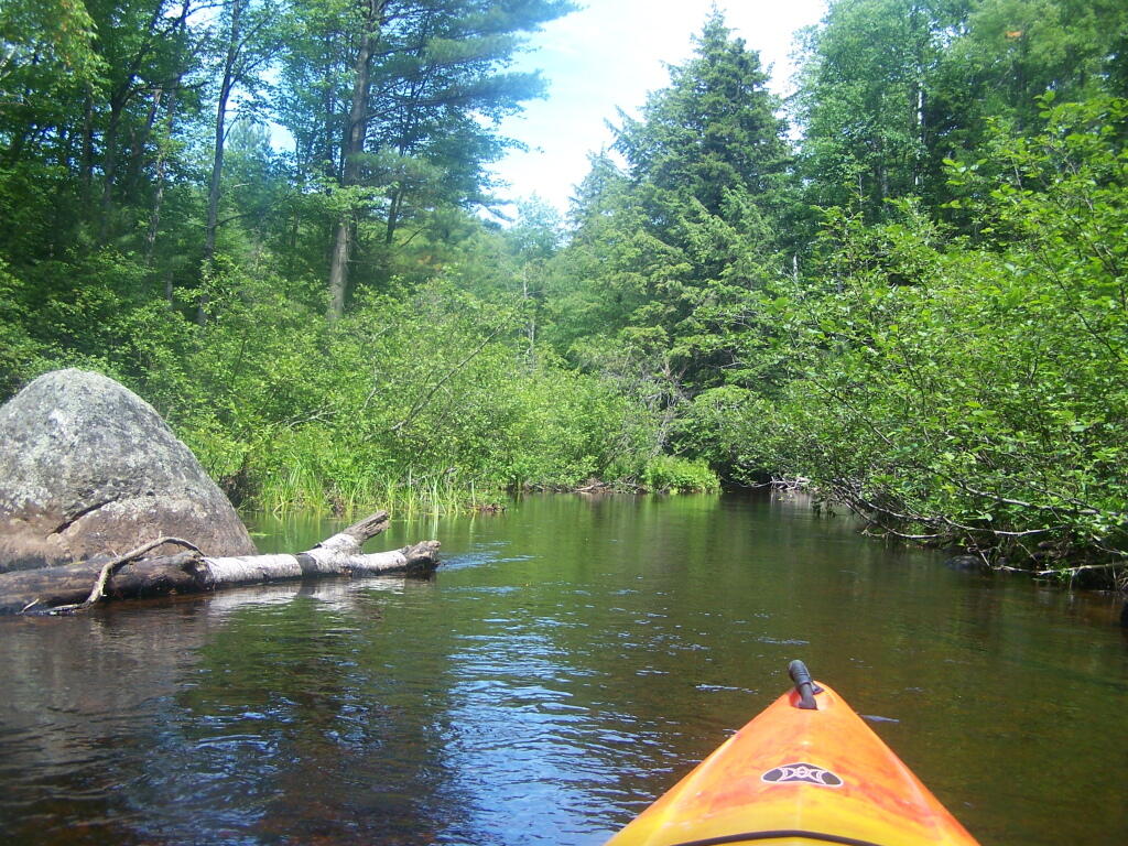
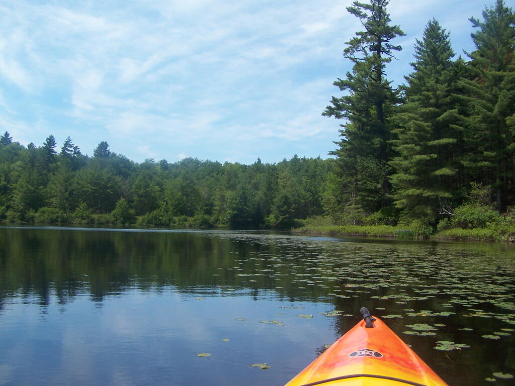
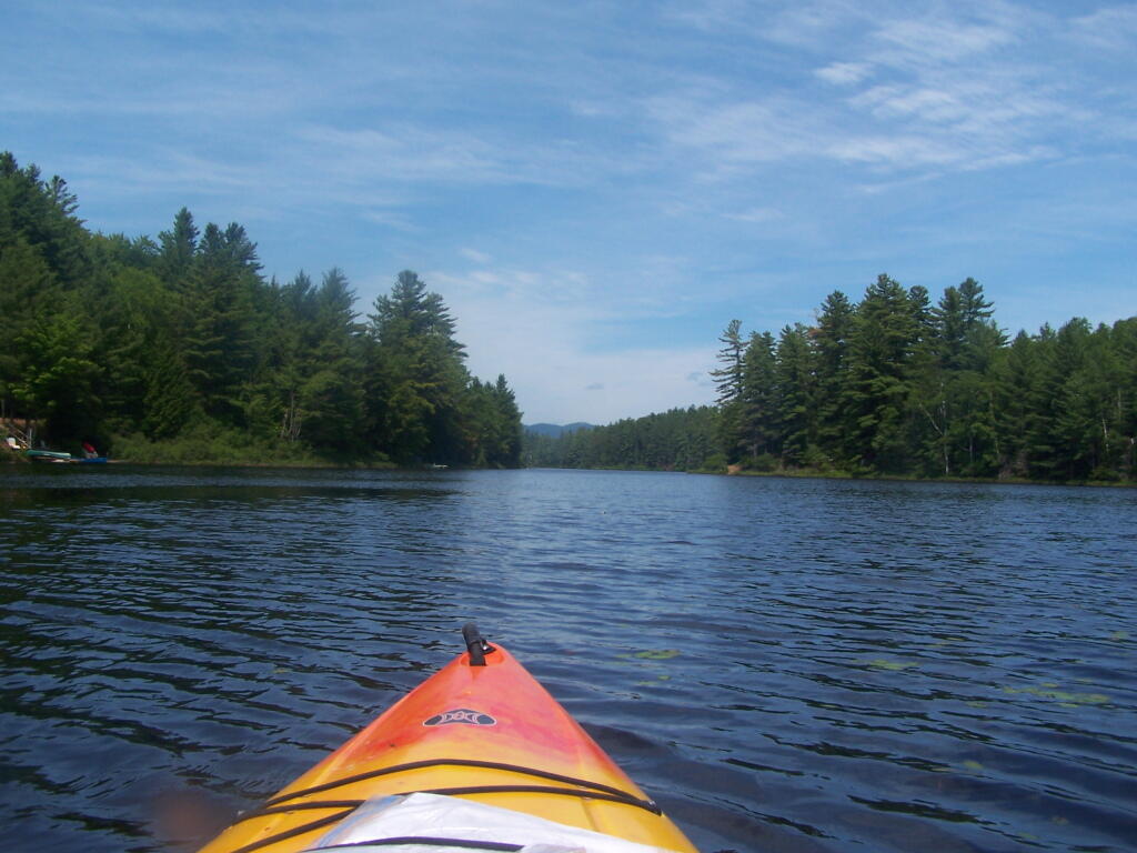
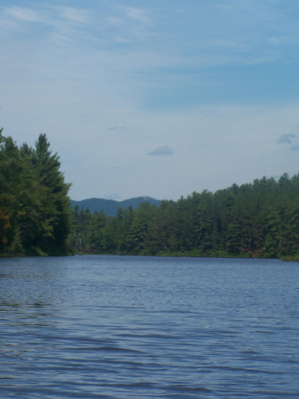
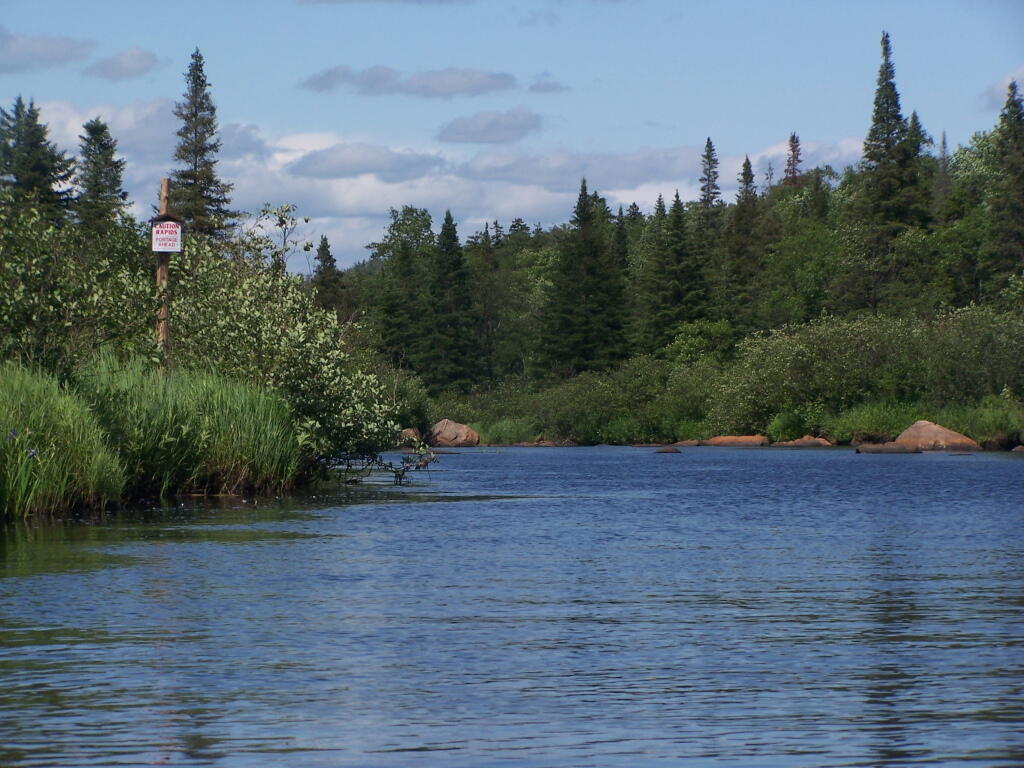
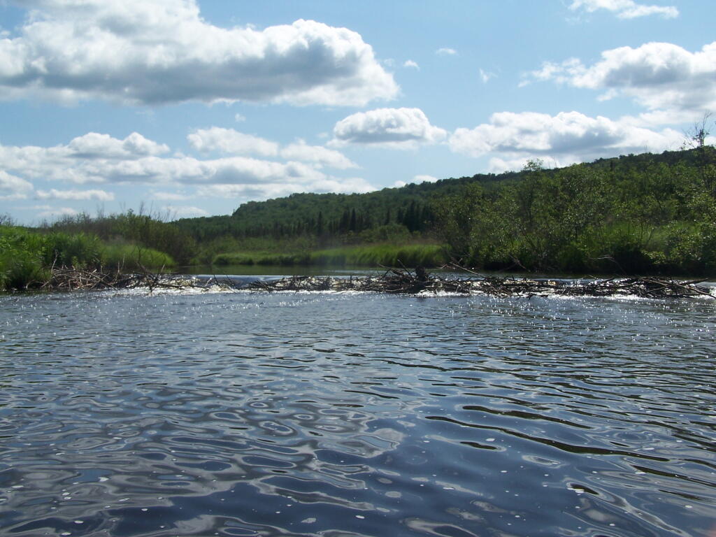
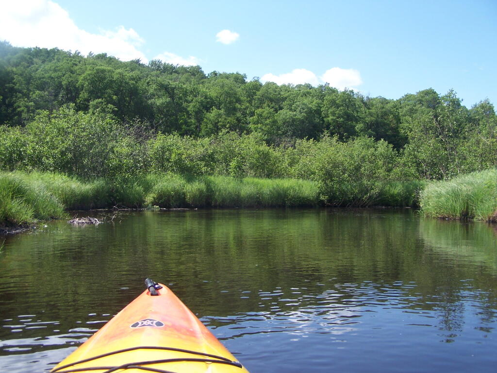
Where is a quiet place to kayak near Cedar Ridge and the Brookfield Horse Camp? Have you ever thought about kayaking the Beaver Creek, from Horse Trail 60 north until the end of the navigable waters?

 Cedar River-Limekiln Lake Road

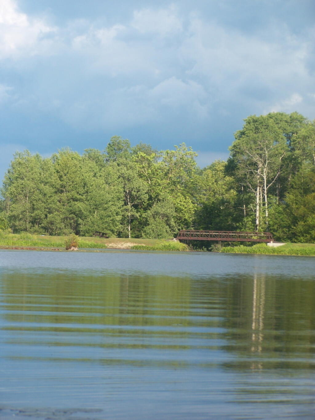
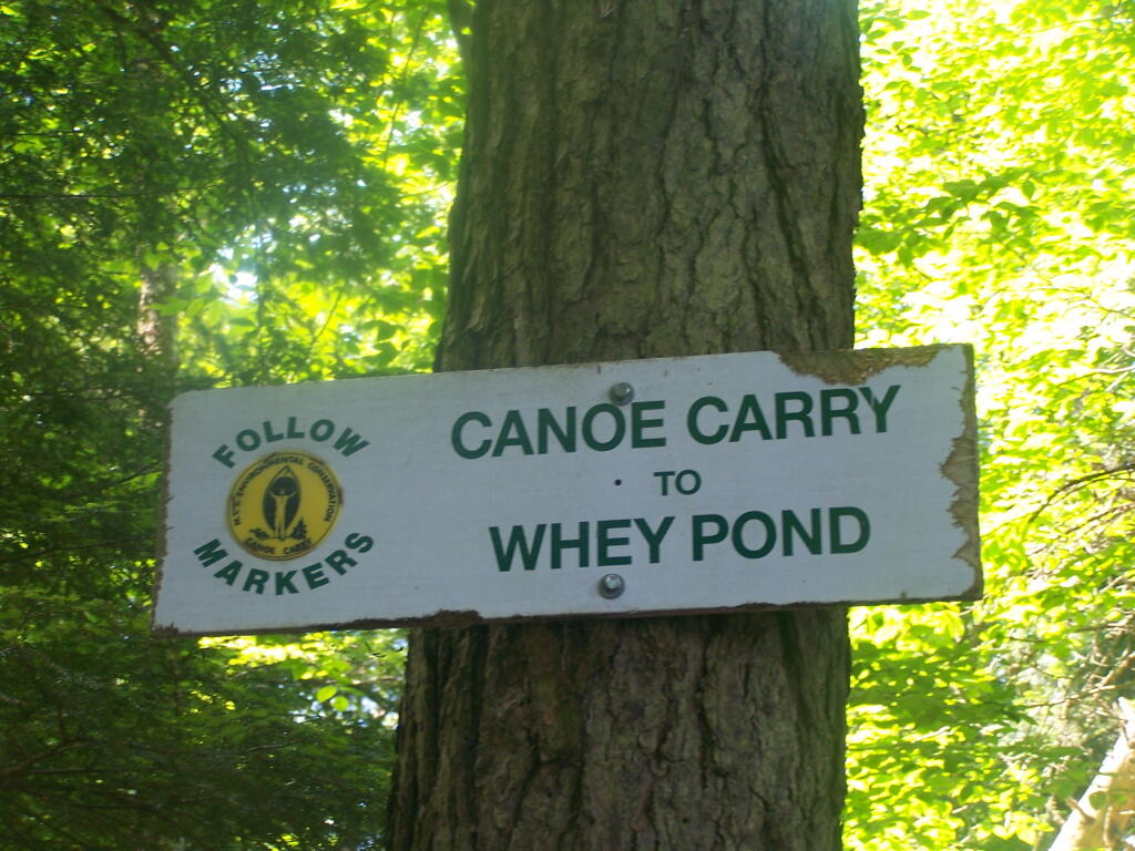
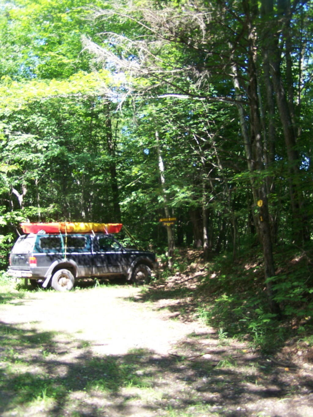
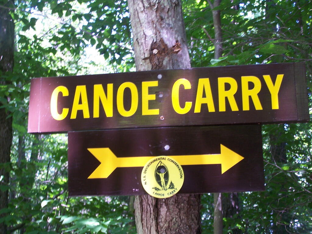
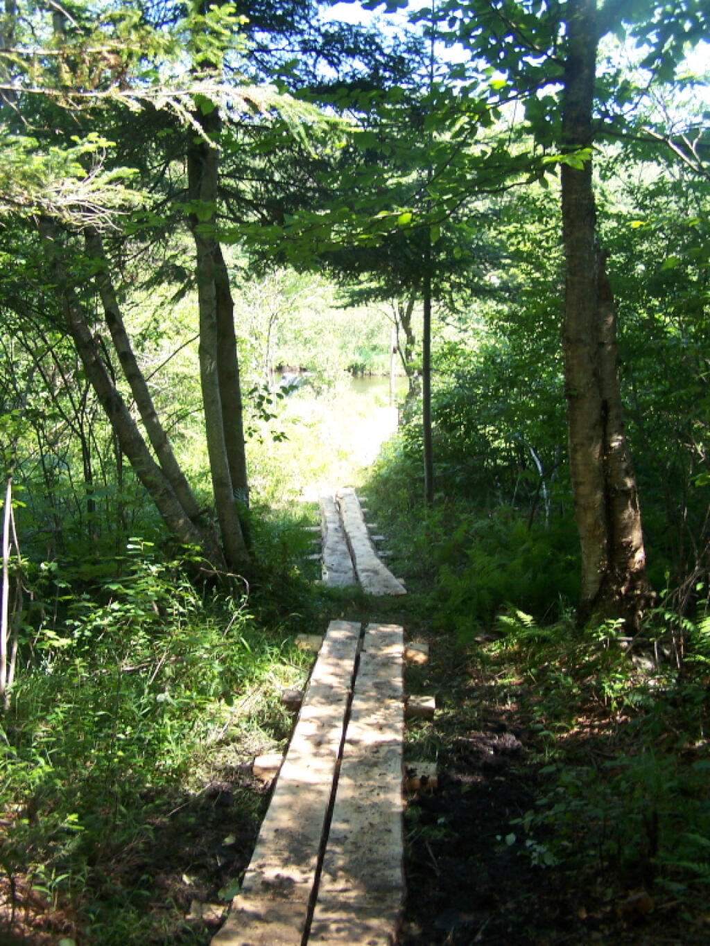
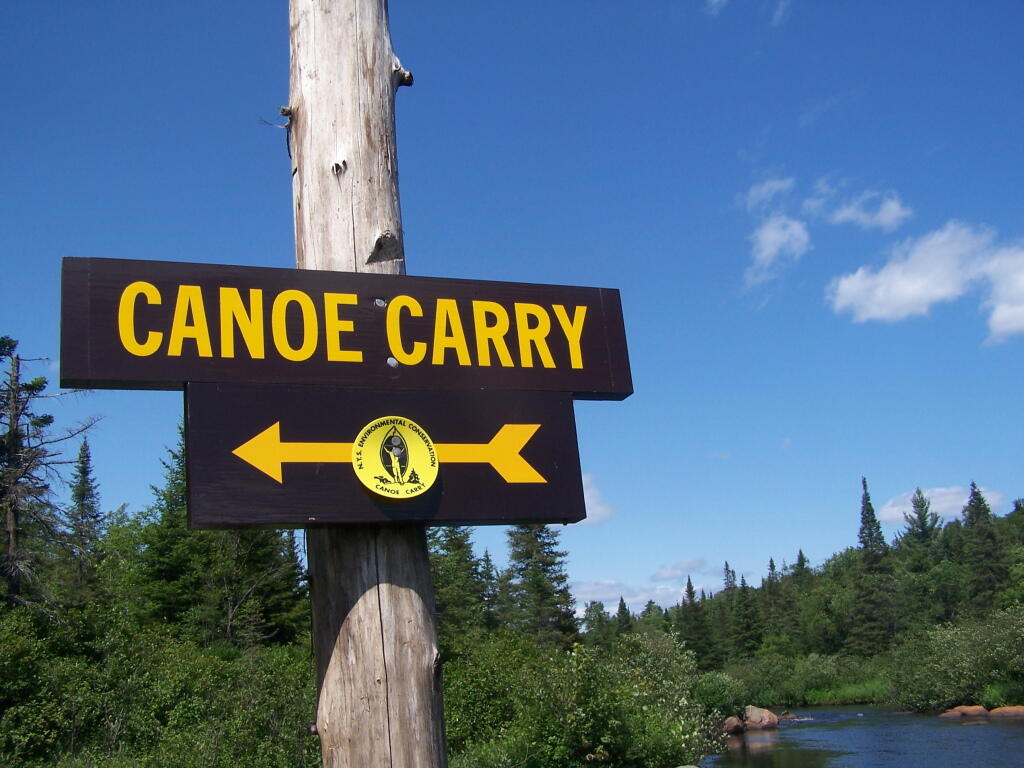
You take Fairgrounds Road north from Brookfield NY, until a first parking area on the left of the road. This is Horse Trail 60. It’s a short portage (1/8 mile) until you reach the bridge crossing the Beaver Creek.

Horse Trail 60 Bridge

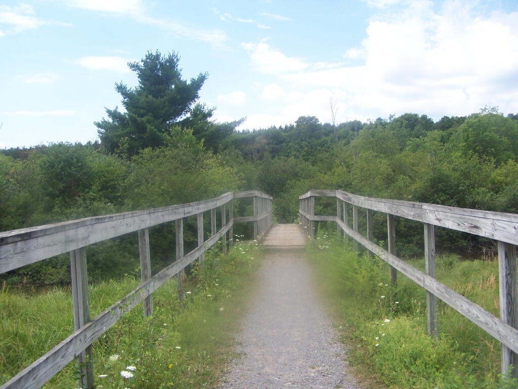
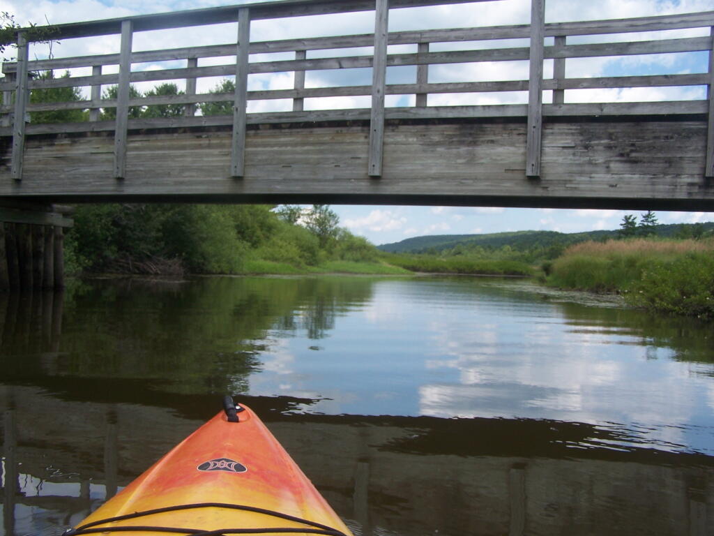
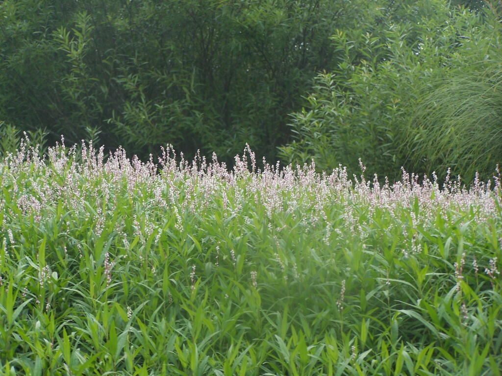
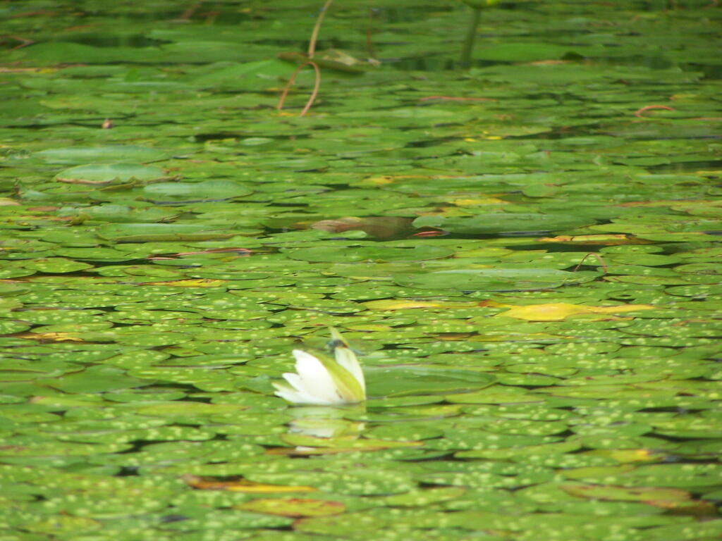
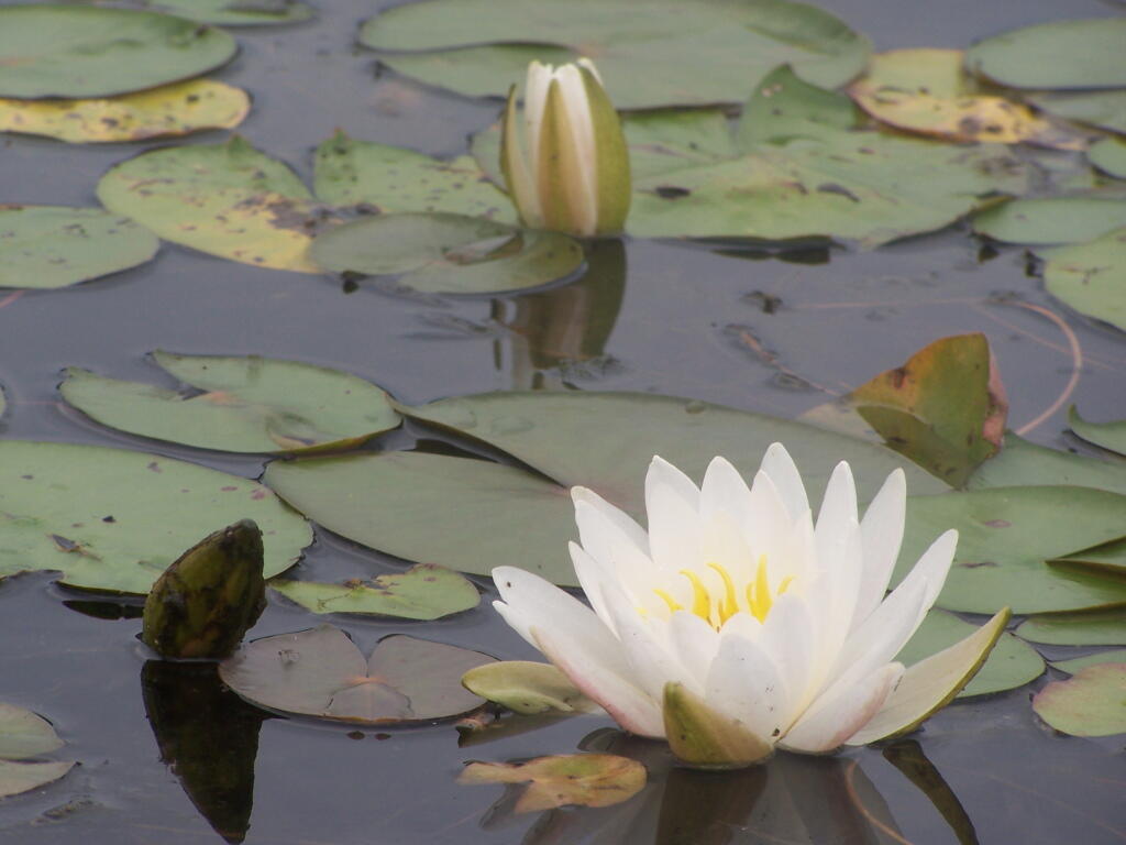
Put in the on the side of this bridge. I did from the east side, through the marshy ground, but you could portage over the horse bridge, then put on the west side, and avoid the marshy ground.

Heading Under Horse Trail 60 Bridge

Beaver Creek State Forest Sign

The Very Flat Water Beaver Creek

Wider But Shallow Section of Beaver Creek

Hudson River looks nice and brown

More Open Section of Beaver Creek

Heading Back

Timothy Grasses Along Shore

Another Narrow Section

Trees Along River Bank

Wind Generated Current

Claustrophobic?

Flowers

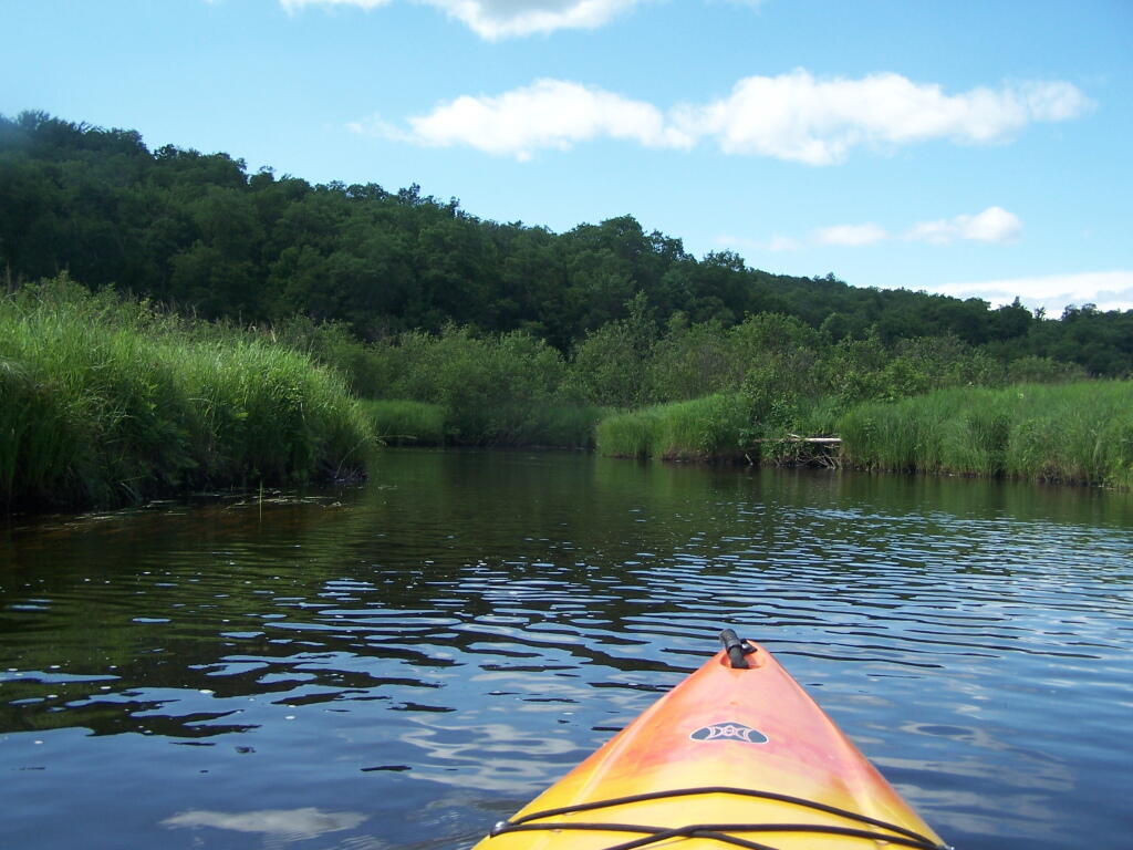
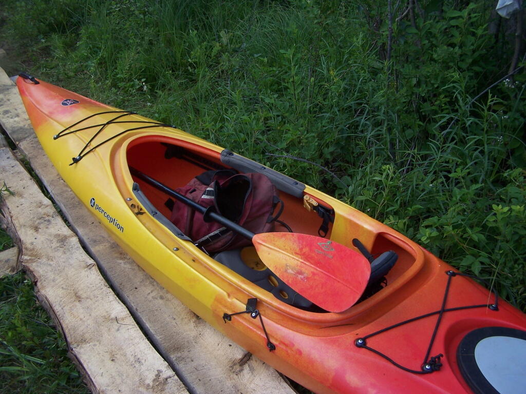
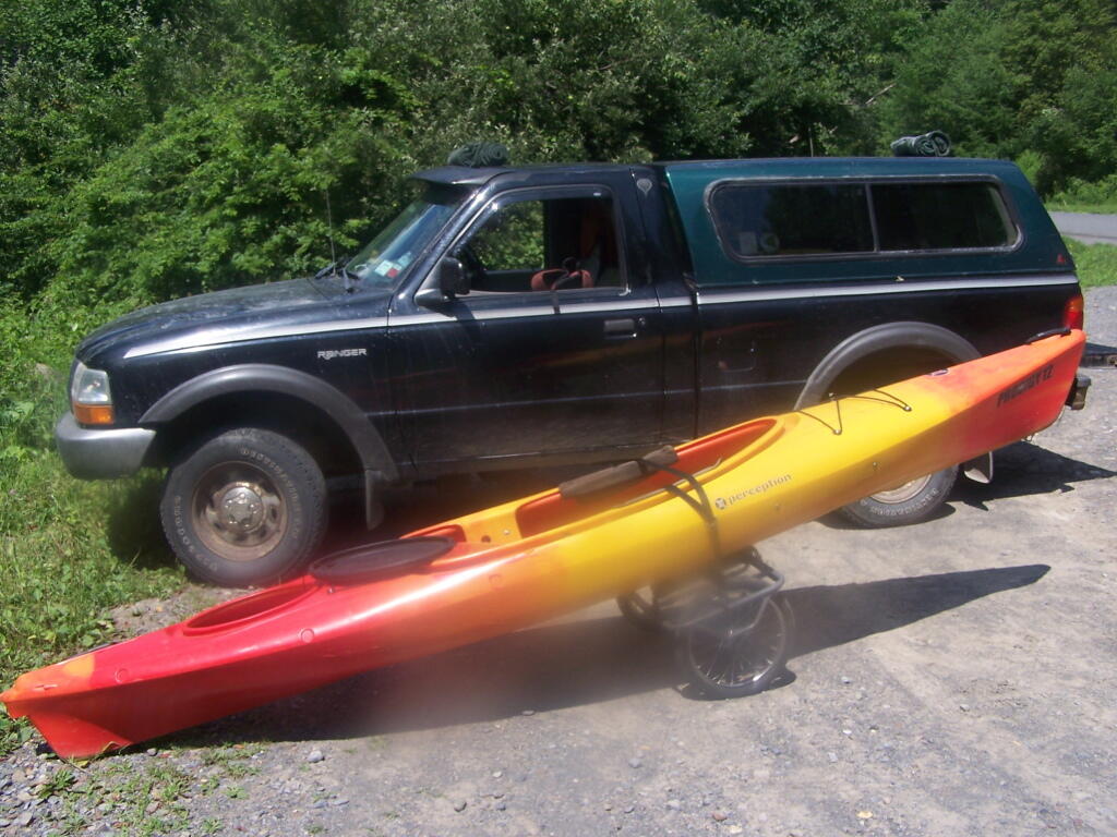
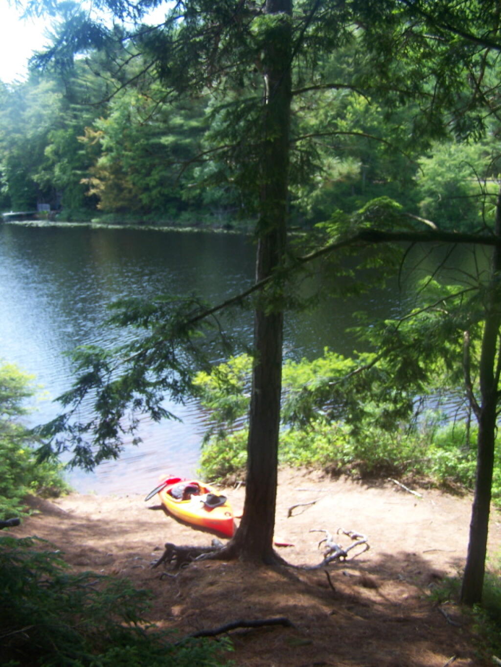
Having a good set of wheels means you won’t have to carry your kayak, but make sure not to drag it on the gravel to avoid wearing holes in your kayak, as I learned earlier this summer.

Kayak on Wheels

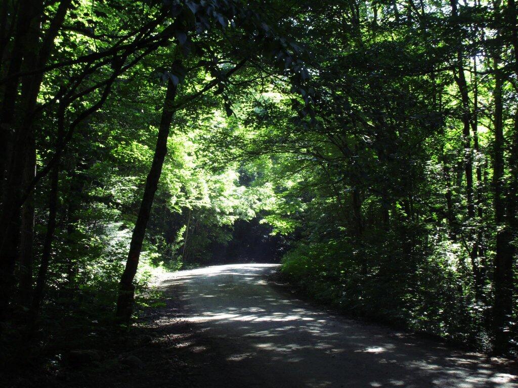
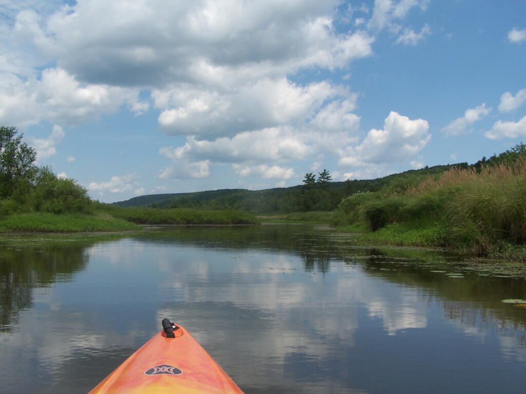
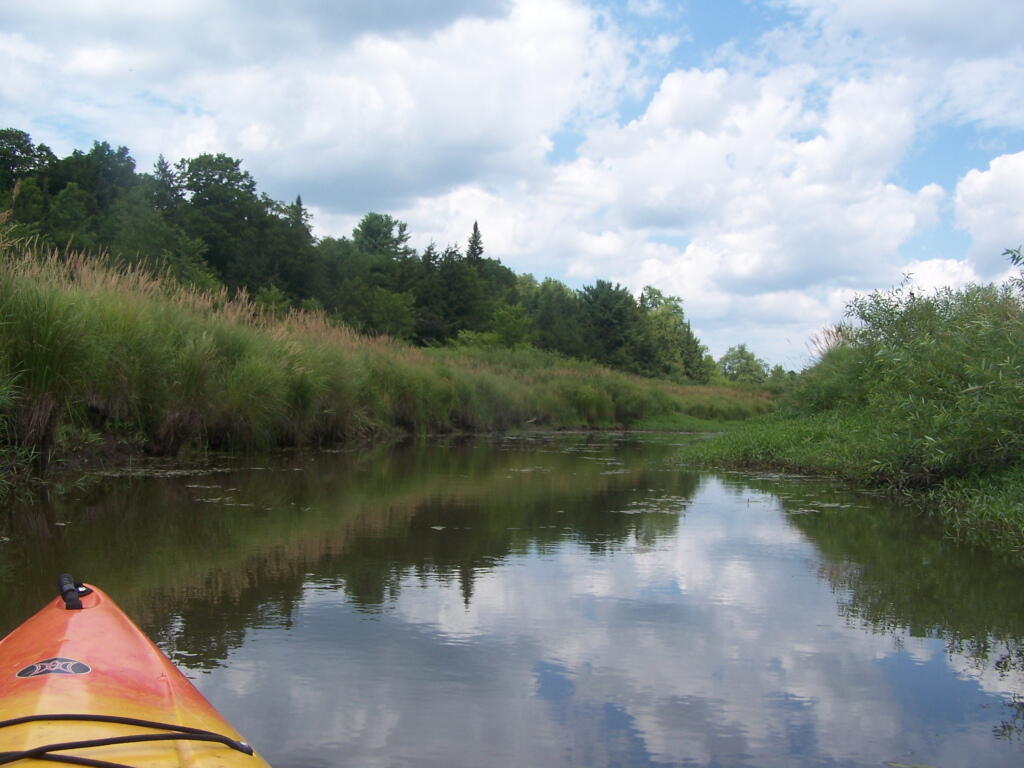
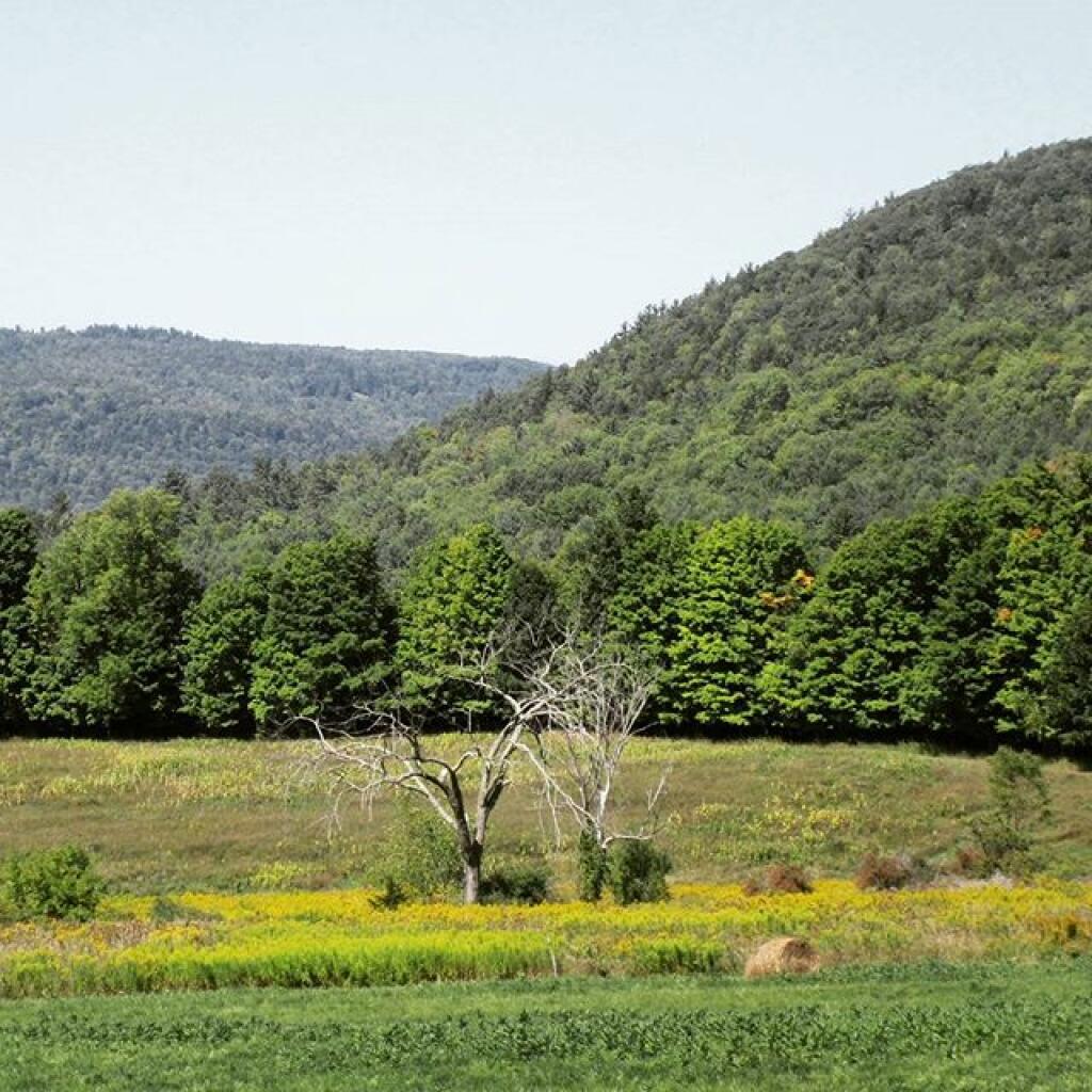
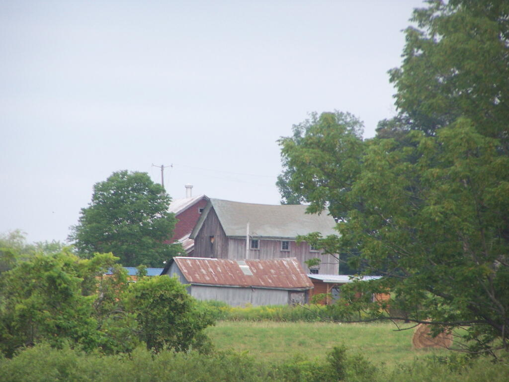
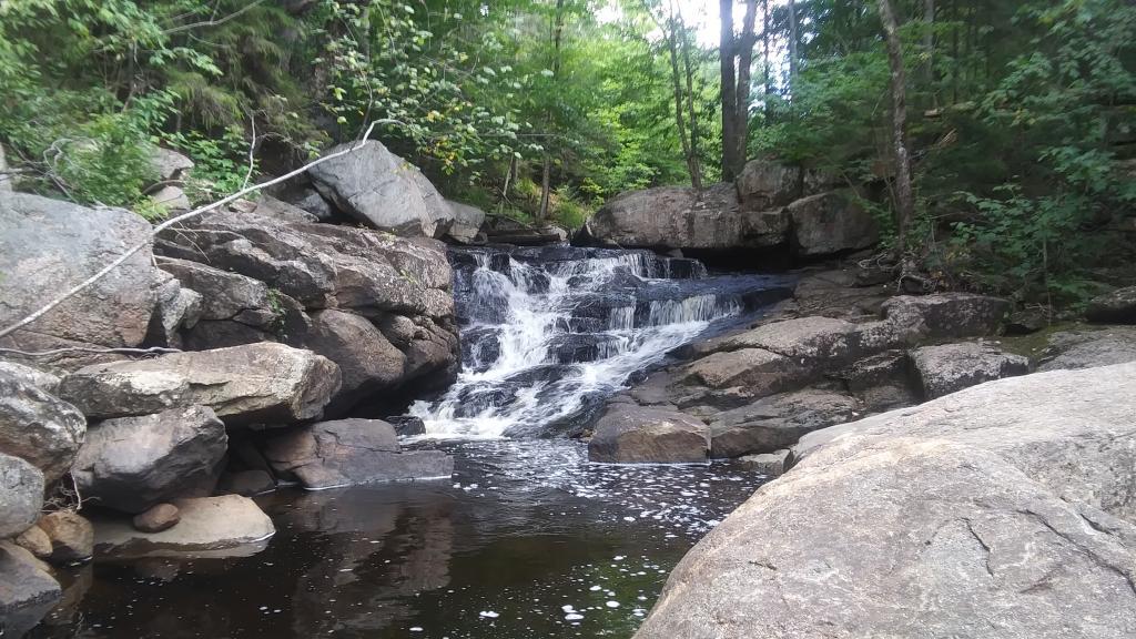
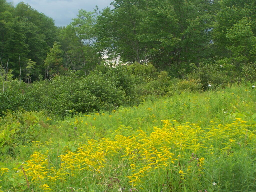
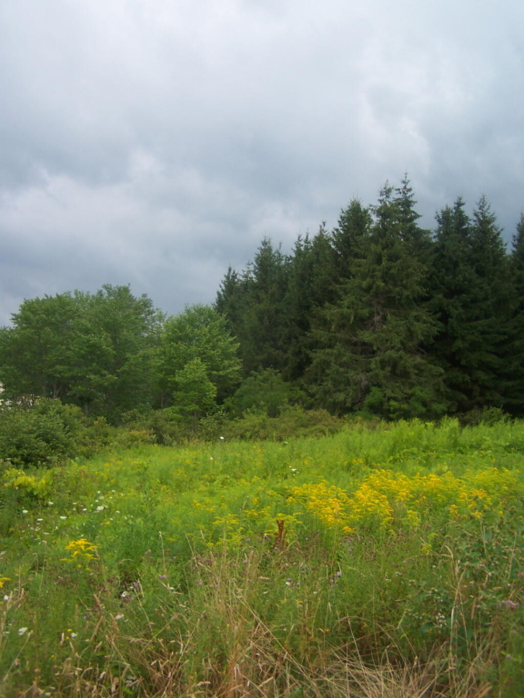
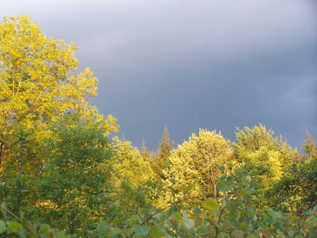
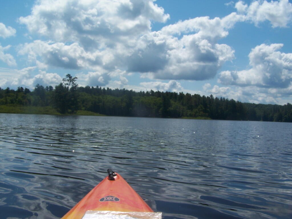
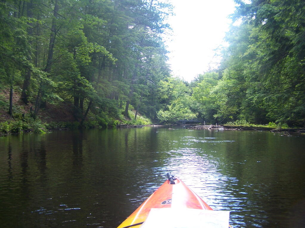
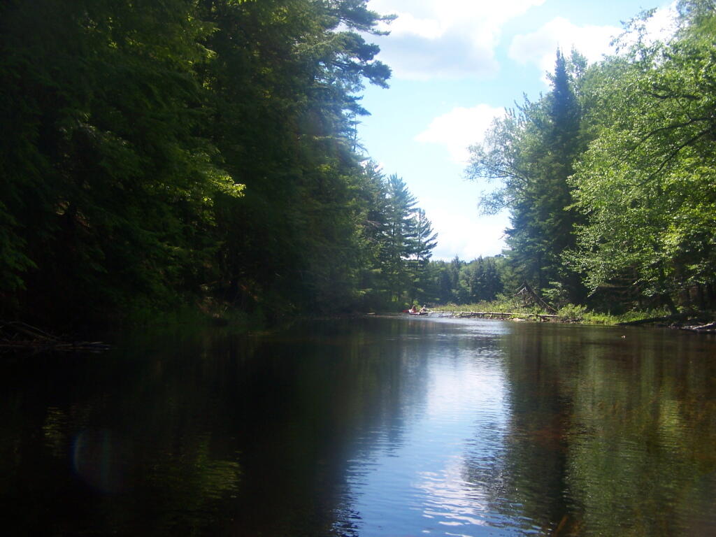
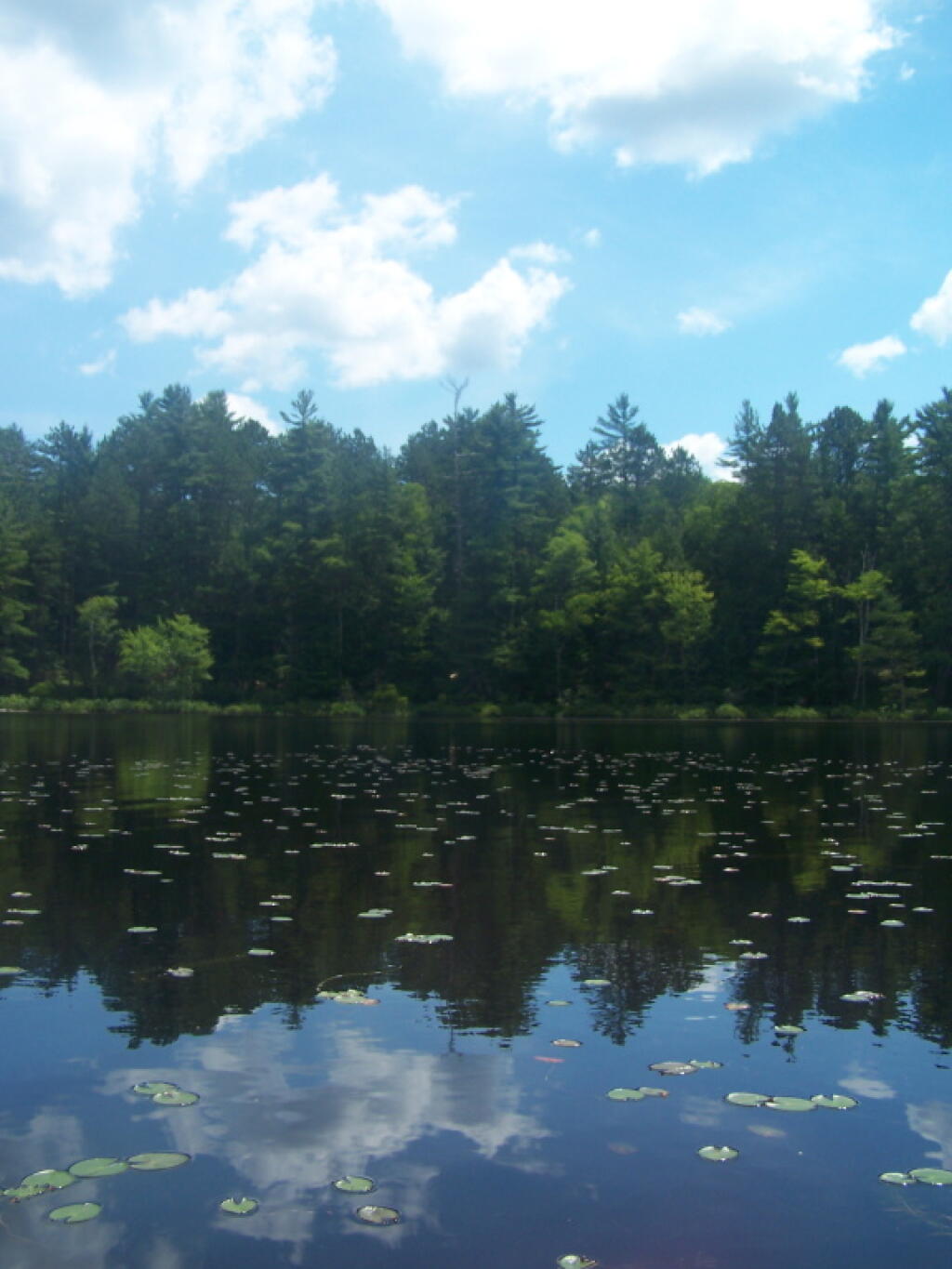
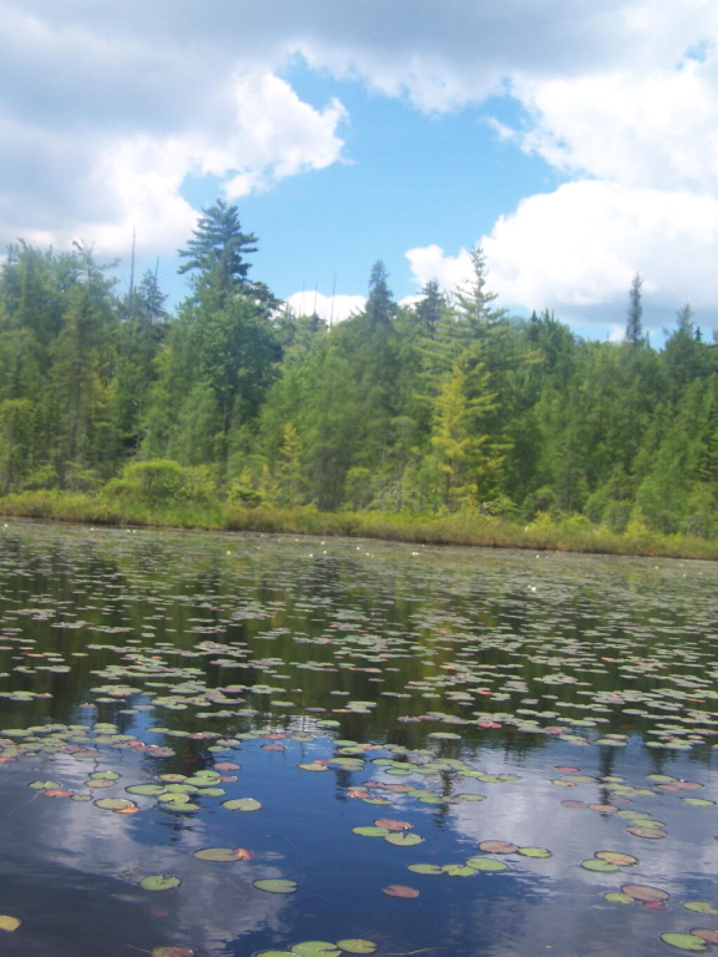
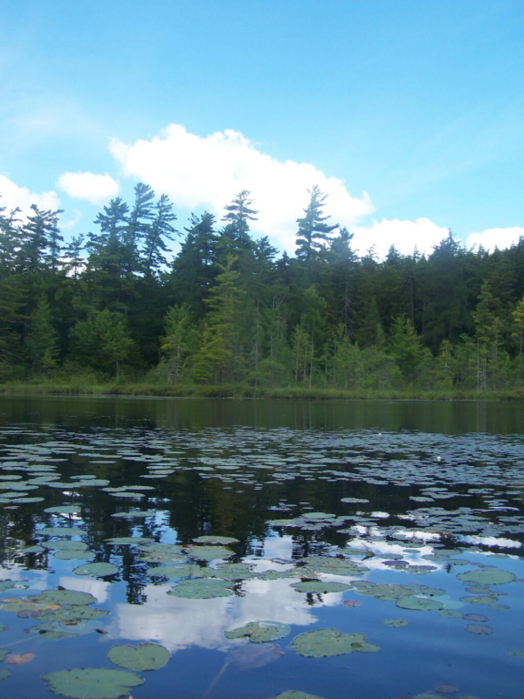
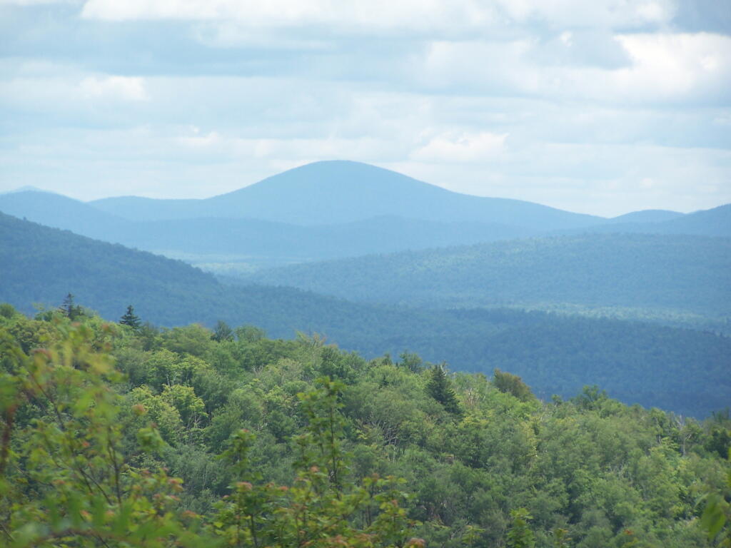
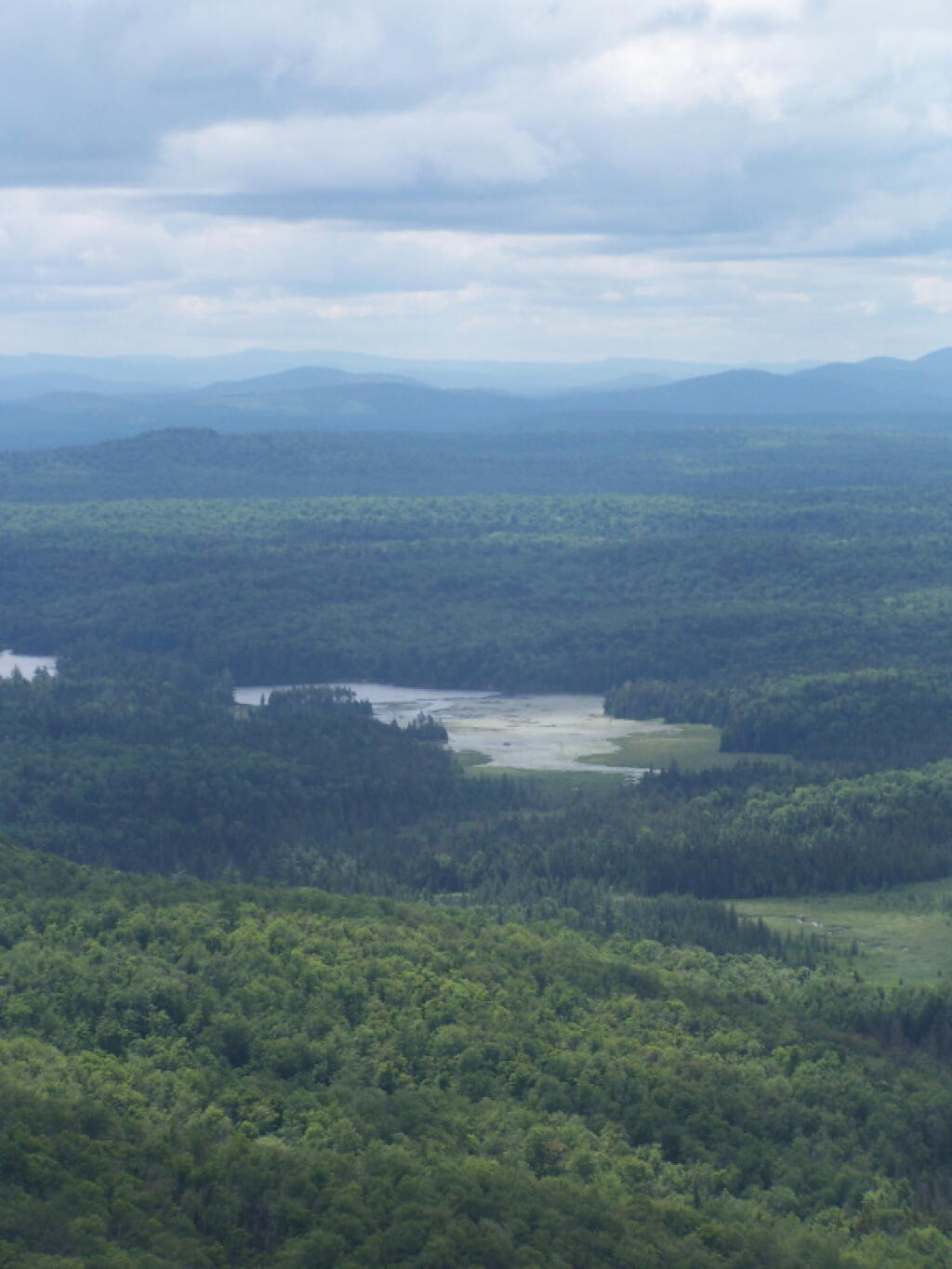
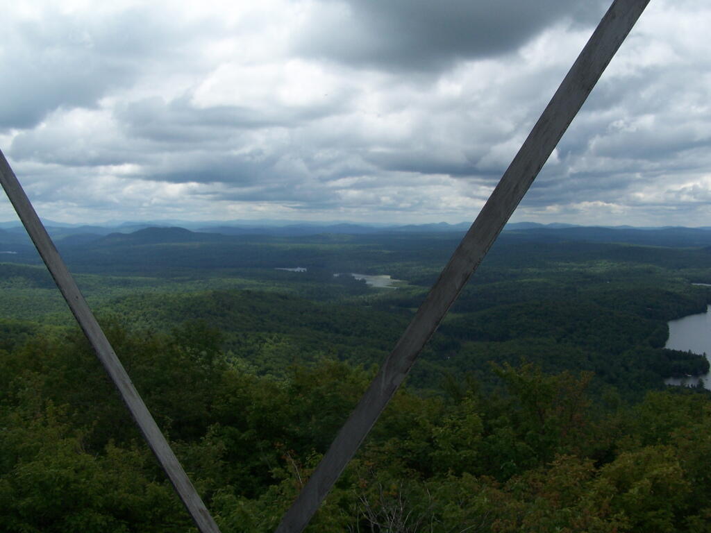
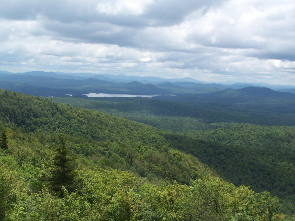
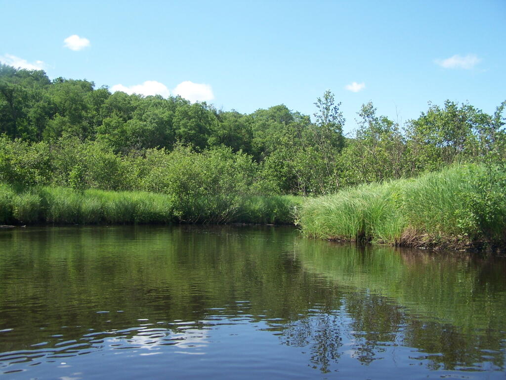
This is a delightful little trip. Do drive the Charles Baker Auto tour, or hike some of the many trails in the area…
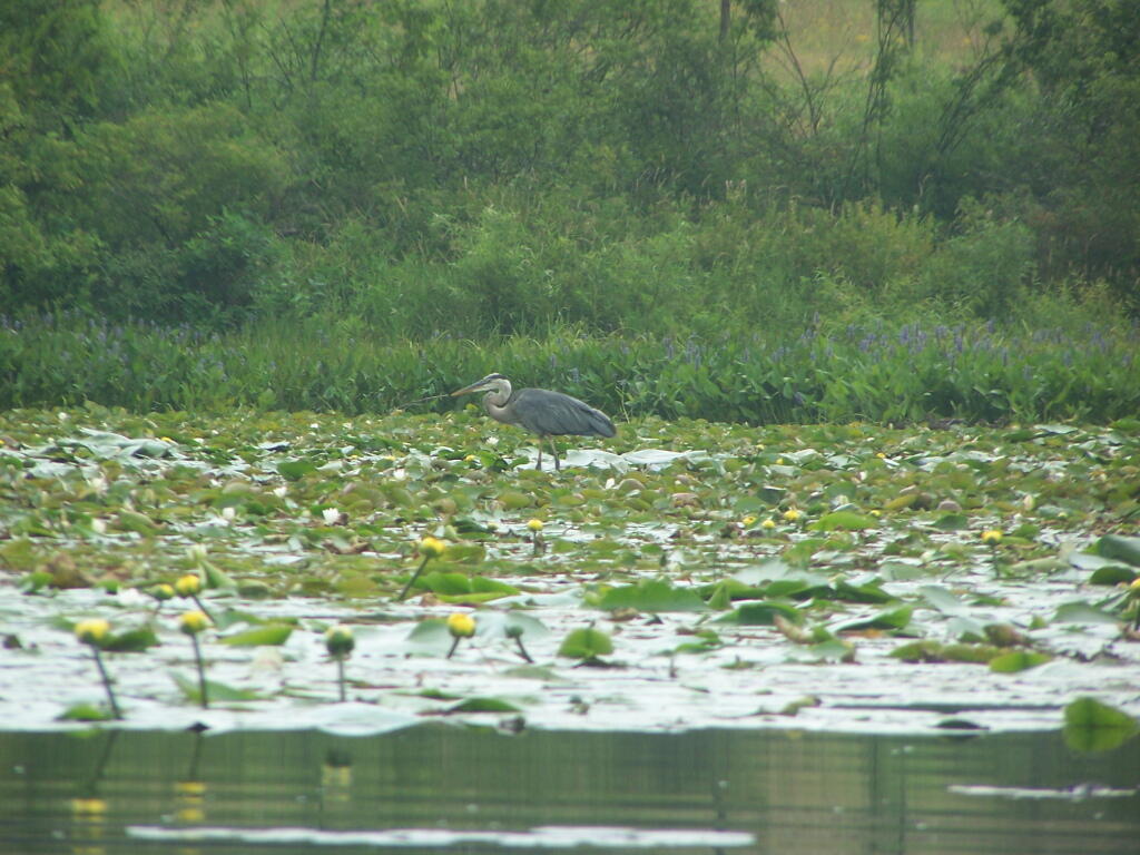
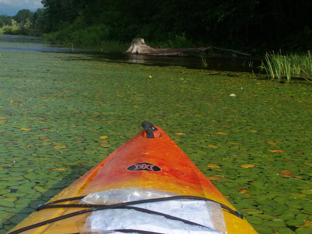
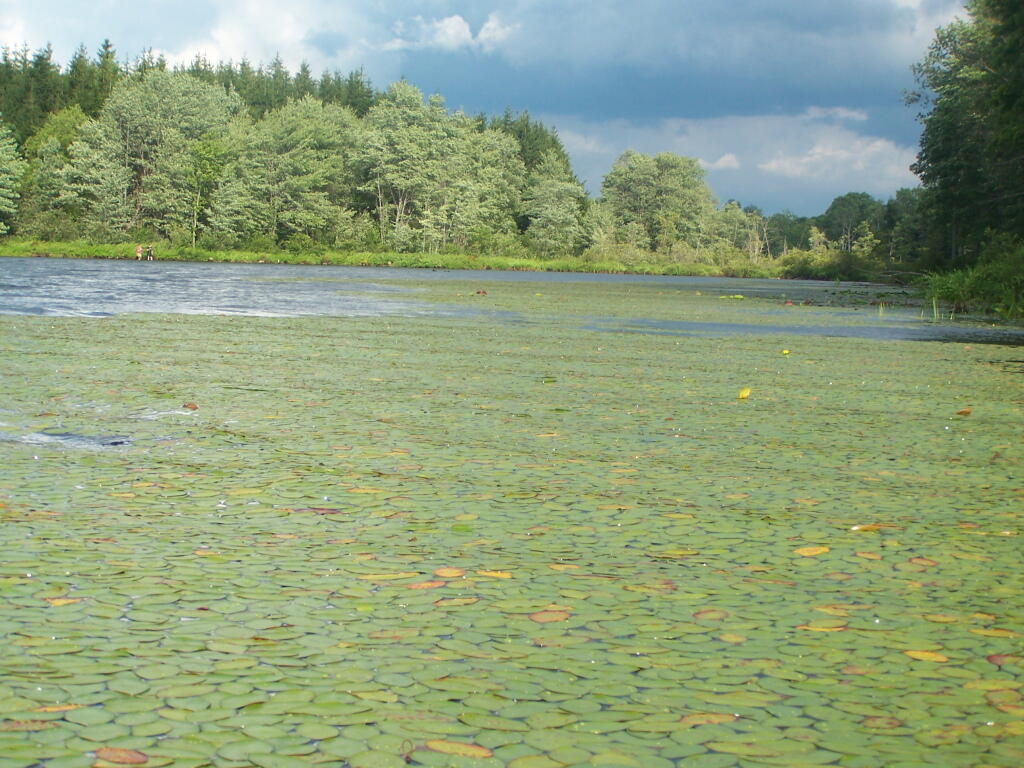
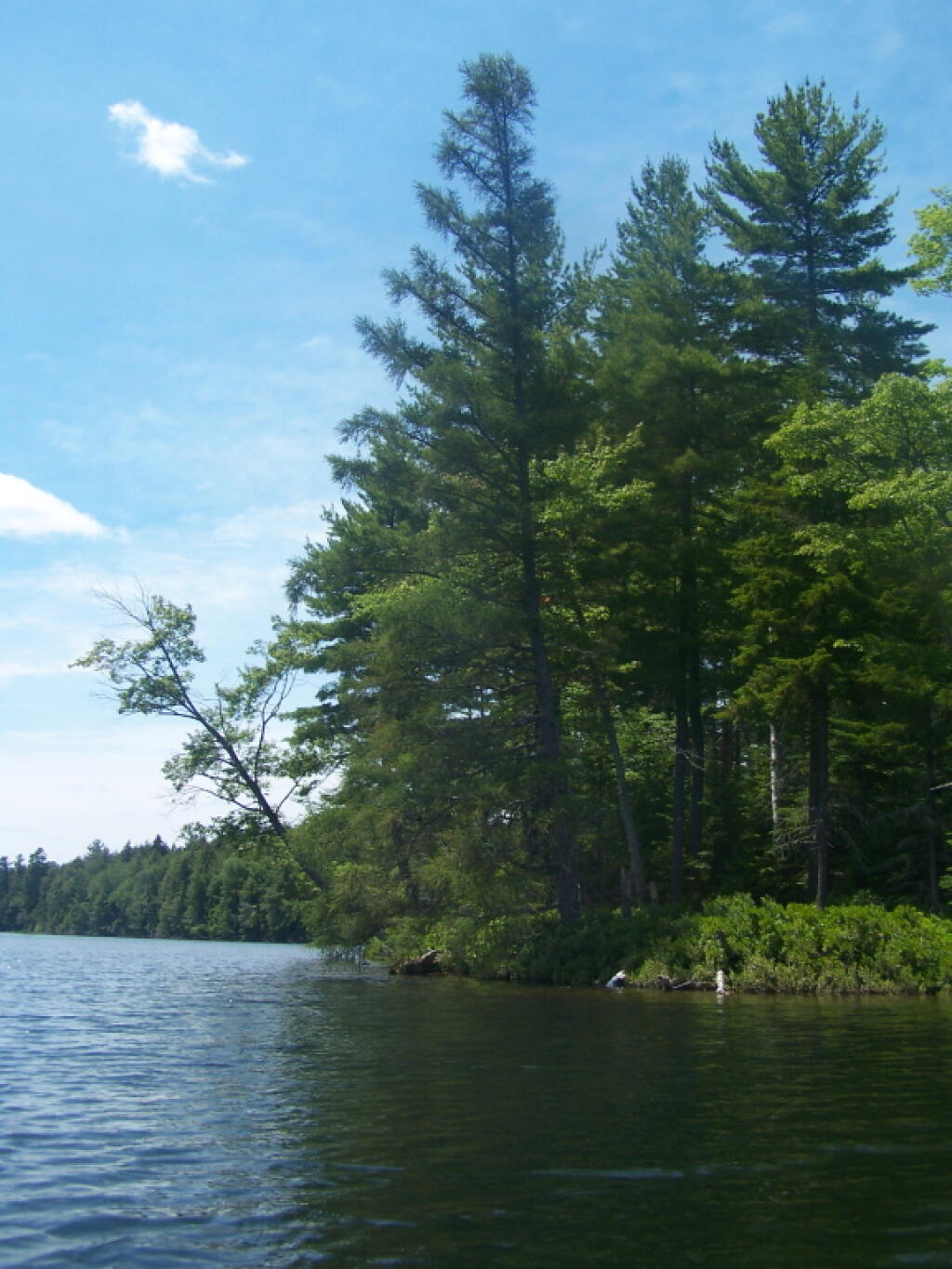
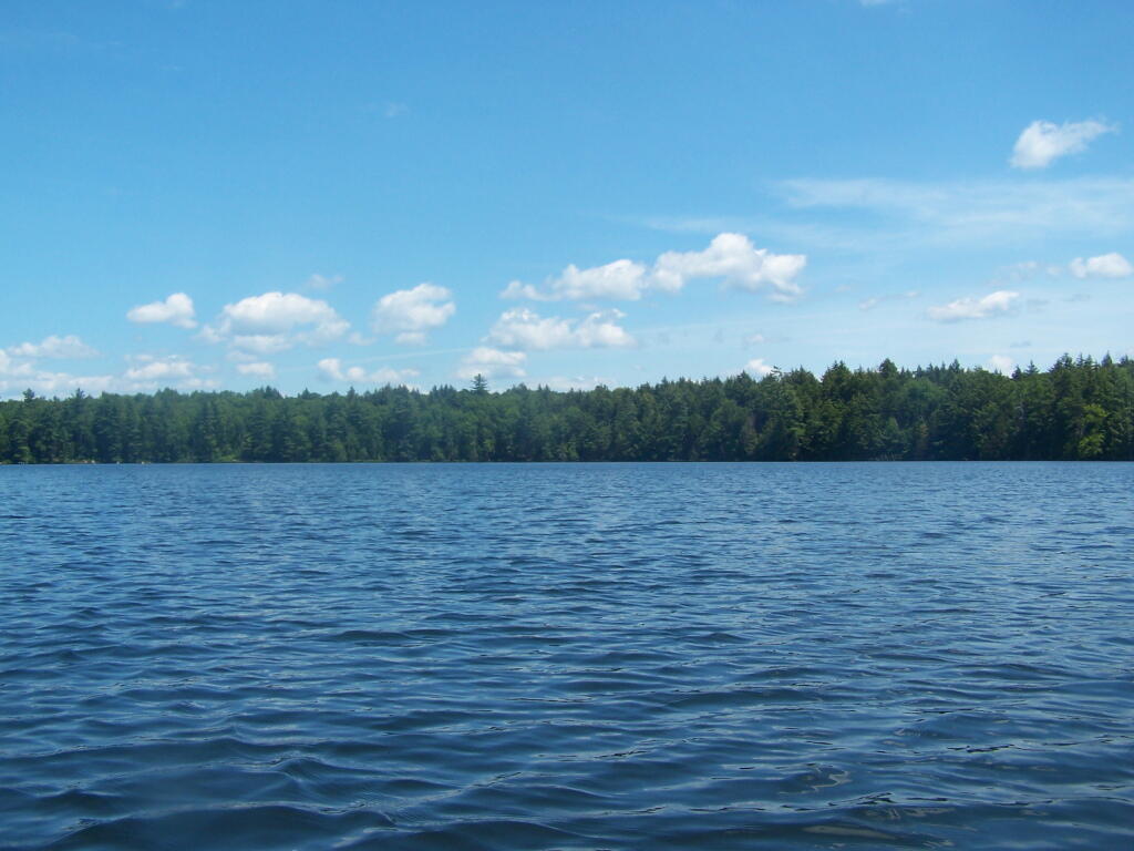
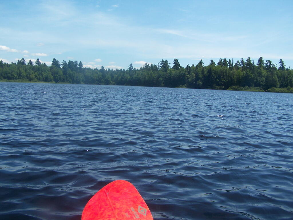
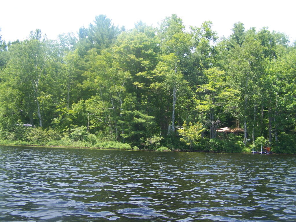
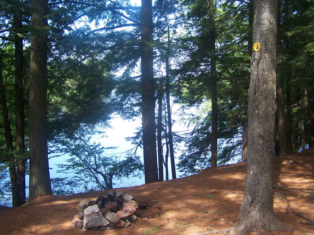
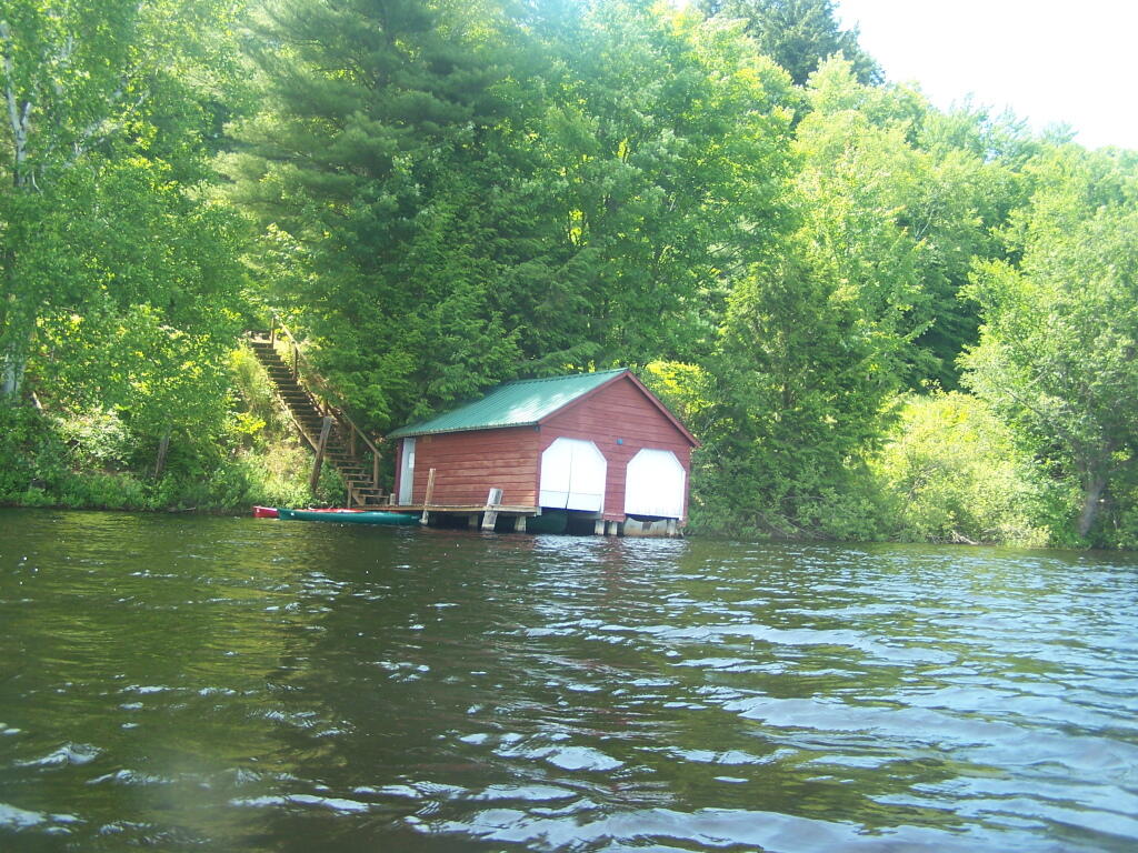
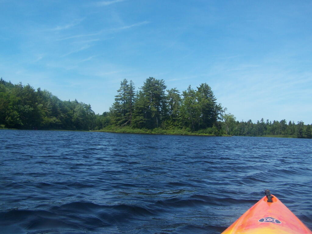
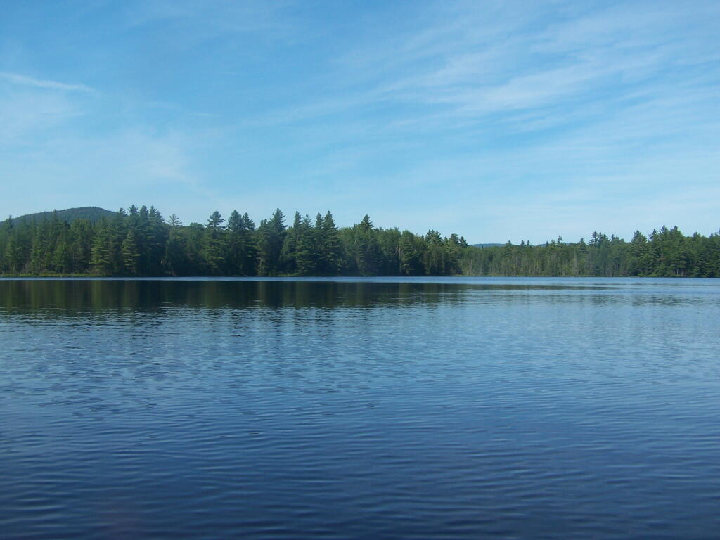
 Green Lakes Elevation Psuedo Color

Pavilion

Kayaking Long Pond

Long Pond offers 8 designated roadside campsites, and a handful of other informal campsites on the other side of the lake. A large man-made lake in an agricultural landscape of Chenango County, it offers some excellent fishing and nice views, especially for Chenango County.

Reed Hill

This map below shows where each picture was taken roughly in the area.

Farm on North-West Side

Flower on Lake

Barn Along NY 41

Rain Drops

Bailed Hay Along Pond

Flowers

Dolph Pond State Forest

Great Blue Heron

Finally Starting to Clear!

Timber Planation Along Long Pond

Blue Skies

Checking the Map

Clearing

Hatch Brook Falls

Dam at End of Lake

 Fields

White Birch Planation

West from Dam

Campsite 7

Golden Rod

Golden Rod, Trees, Clouds

Evening Sun Peaking Out

Rays Hitting the Pond

Backlit

Evening Sun Peaking Out

Sunset on the Lake

Sun Rays

Reflections of Sun

Floodwood Loop in St Regis Canoe Area

On a nice weekend, expect many people to be joining you on the ever popular Floodwood Loop in the Saranac Lake Wild Forest. While technically not part of the Saint Regis Canoe Area, this area is considered part of series of ponds that makes up this area, and this loop is the most popular of all the canoe routes in this area.

Big Alderbed

Alternatively, take a look at this Google Map of the loop. Balloons are designed campsites, there are no charge to use these sites. Red lines are portages and other trails.

At around 10 AM I headed out. Bright sunny day, a lot of glare. None of the ponds are paticularly large.

Heading Out on Floodwood Pond Loop

The Fish Creek between the ponds is quite narrow, and don’t be surprised if you hit some traffic. In parts the current can be fairly swift, although one can still paddle up or down stream with relative ease, just avoid the other boats.

Fish Creek

Heading Into Little Square Pond

Little Square Pond

Bright Day on the Lake

Spatterdock on Fish Creek

Coppreas Pond

Heading Across Coppreas Pond

Traffic on Coppreas Pond

Canoe Carry to Whey Pond

There is a 1/4 mile portage between Copreas Pond and Whey Pond. Despite being mostly sandy soil, with some roots, do NOT drag your kayak, if you want to avoid putting holes in it, as I learned the hard way.

Poliwogs on Whey Pond

Trees Along Whey Pond

Out on Whey Pond

Paddling Across Whey Pond

There also is another short portage over a road, and through the Rollins Pond Campground, after you leave Whey Pond.

Passing Rollins Pond Campground

Heading Across Rollins Ponds

Traffic on Rollins Pond

Past Swimming Beach at Rollins Pond

Narrow Passage Between Rollins Pond and Poliwog Pond

Back Out on Floodwood Pond

Towards St Regis Mountain

St Regis Mountain

Parked a Campsite on Floodwood Pond

Designated Campsite on Floodwood Pond

Private Kayak

Small Island

Heading Back Into Shore

Overview of the Saint Regis Canoe Area, including other ponds and all of campsites.

At the Shore

And if you prefer roadside camping with a trailer or pickup truck cap, take a look at these sites.

… I hope you enjoyed these pictures and maps from the Floodwood Loop.

Map: Harding Road Trail
Map: Big Bay Of Piseco Lake