hiking

Echo Cliff at Piseco Lake

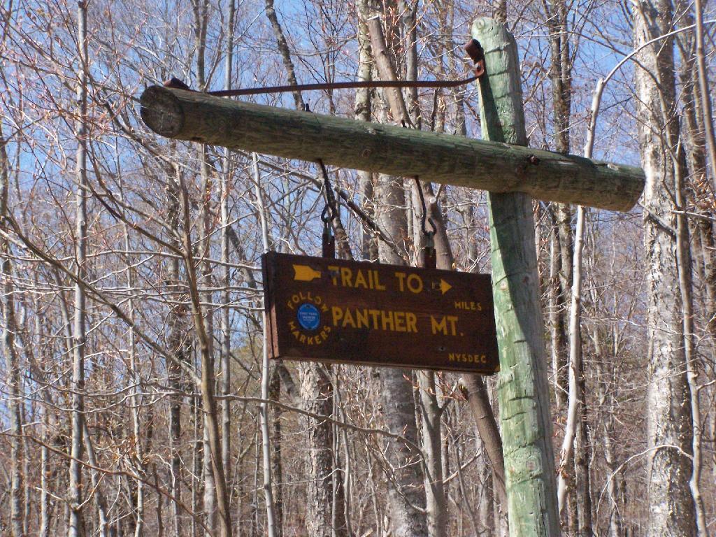
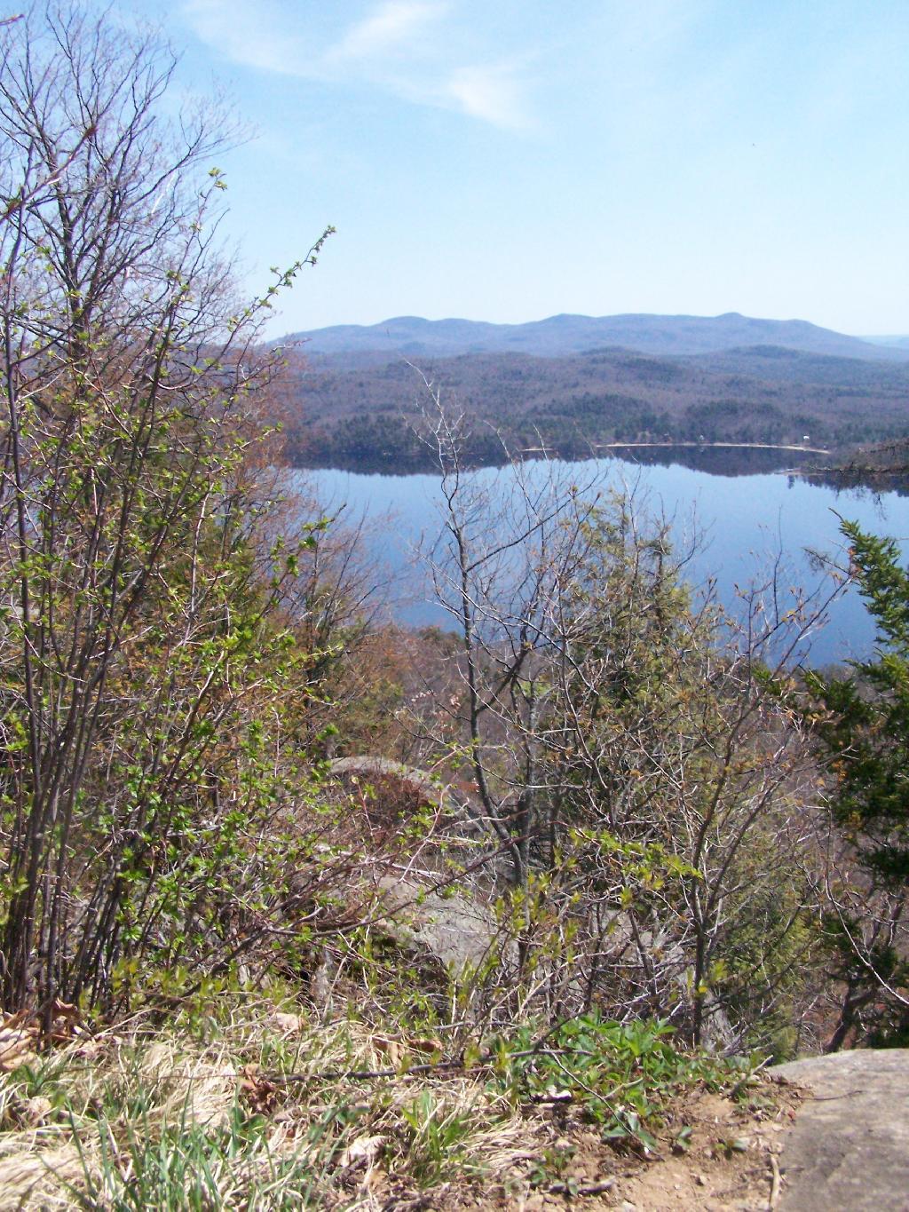
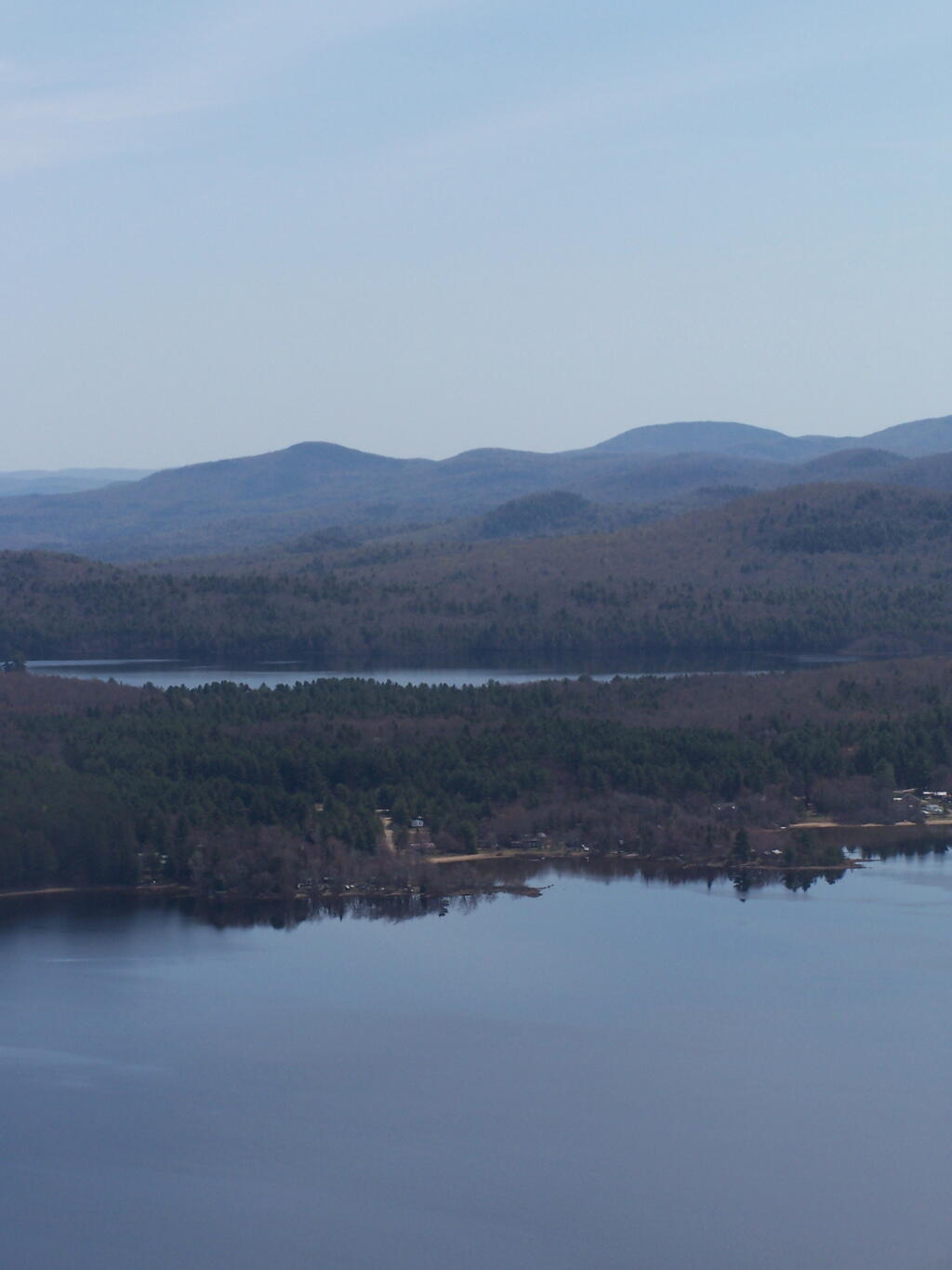
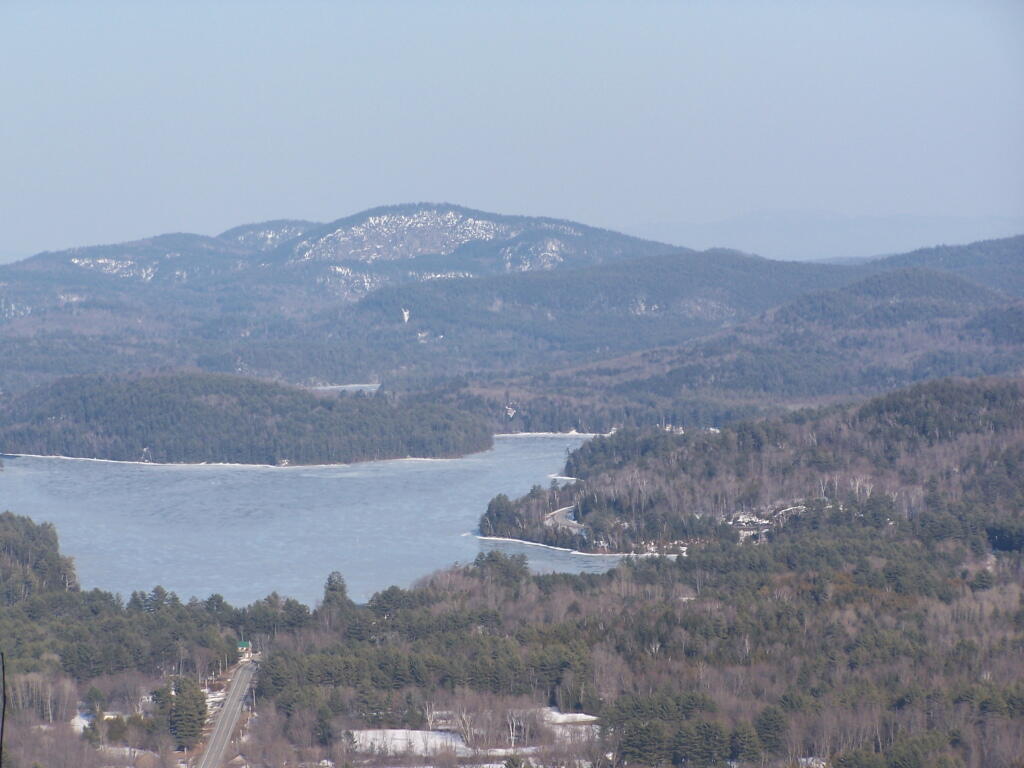
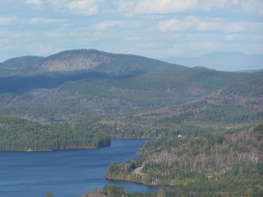
The Echo Cliff of Panther Mountain overlooks the Piseco Lake, Spy Lake, and Oxbow Lake, along with mountains and points east. The trail that goes up to Echo Cliff is labeled “Panther Mountain”, however the trail does not ever reach the ascent, but dead ends at Echo Cliff.

Panther Mountain Sign

A beautiful day hiking up the trail for sure. The sun was bright, and I kept slapping on sunscreen. It was even a bit warm, not surpising for April 24th.

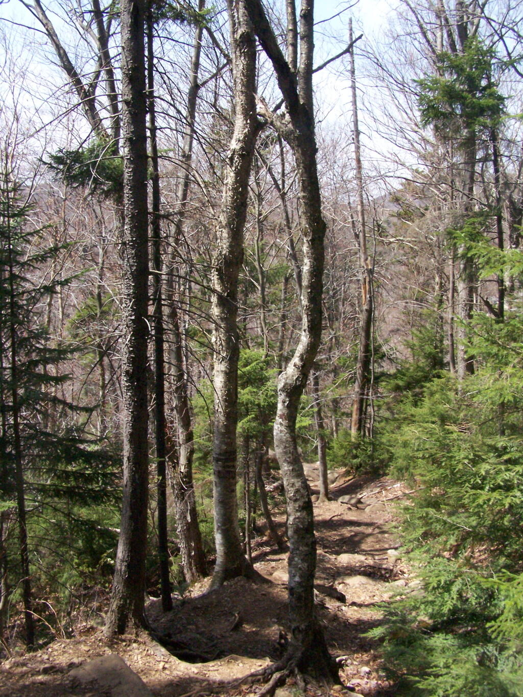
The Trail

Reaching the top of the trail, almost up to Echo Cliff. The beauty of the mountaintop approaches.

Almost to the Top

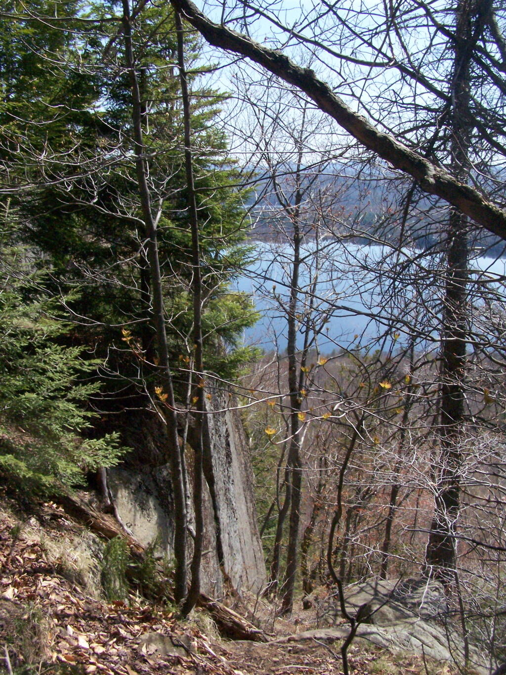
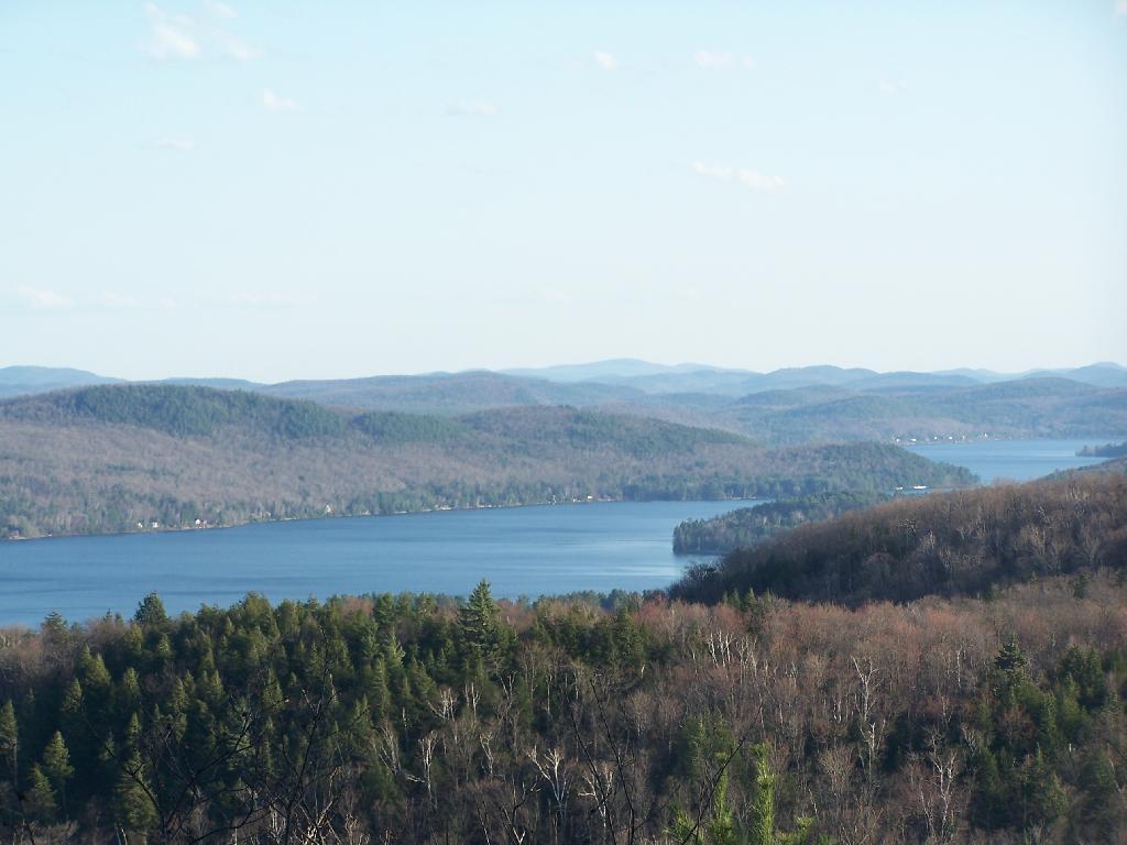
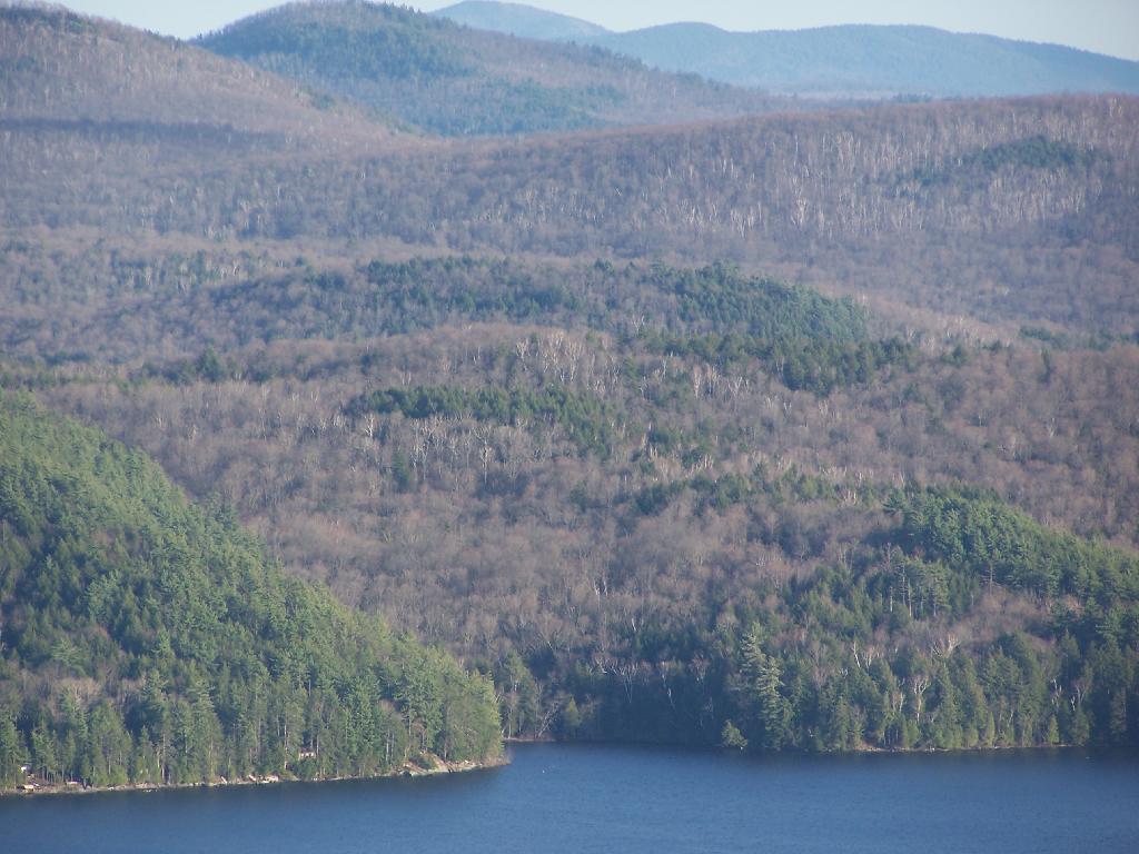
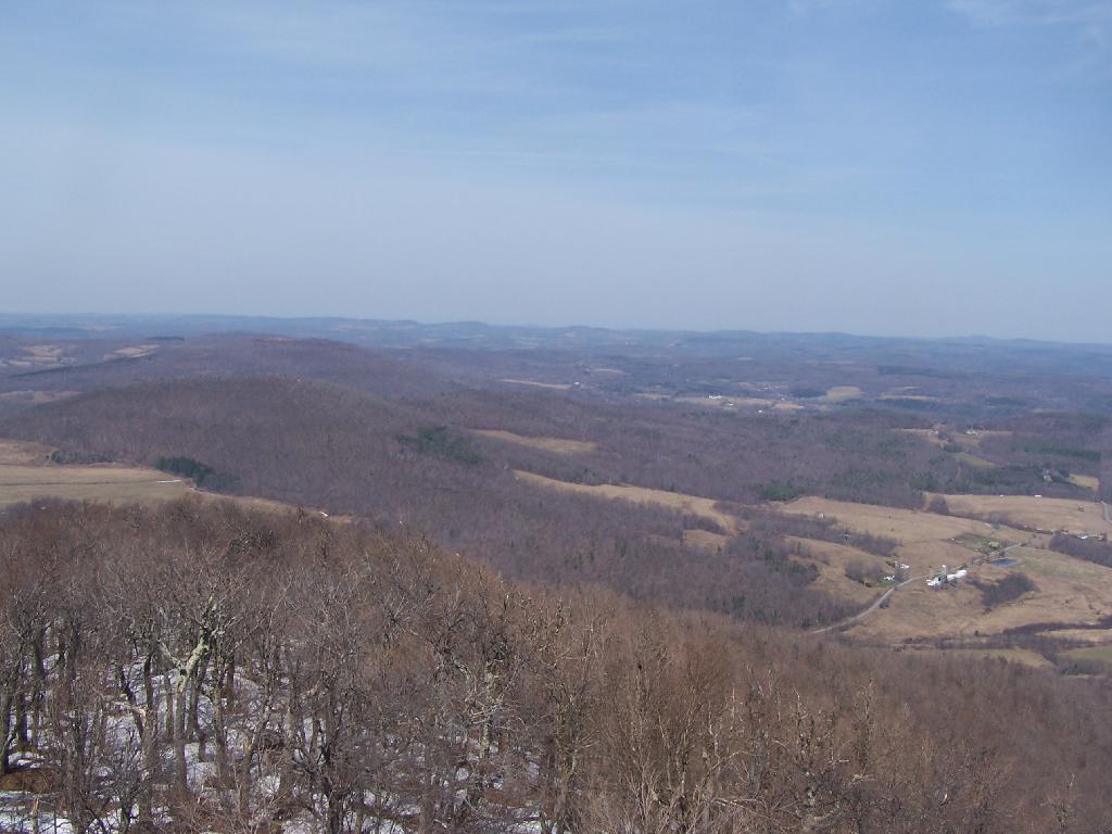
Reaching the top, the beauty was amazing, as I looked across Piseco Lake with the trees just starting to green up.

Spring's Colors

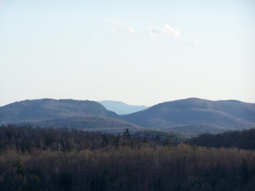
Across the Lake to Popular Mountain and Oxbow pond.

Towards Popular Mountain

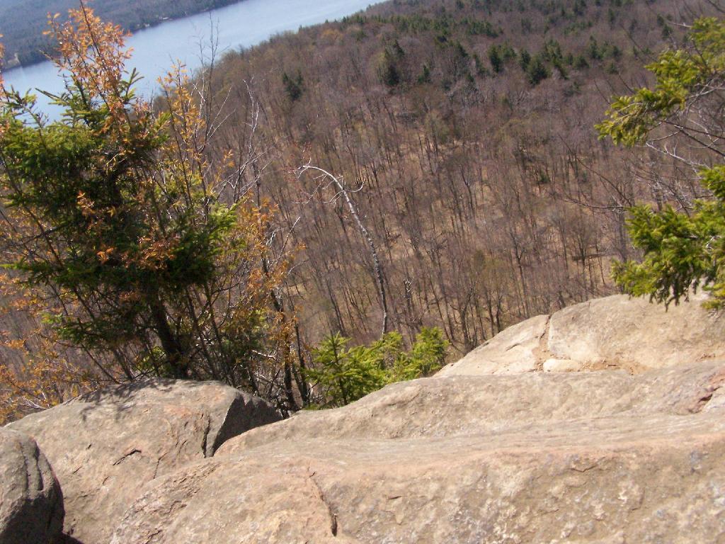
Sitting along the edge, looking at the land and lake below.

Off the Edge

Here is map of the hike. It’s quick, 30 minute each hike each way. If your up this way, do make this hike. I some day may want to hike this prior to sunrise, and watch the sun rise on this mountain.


View Echo Cliffs and Piseco Lake in a larger map

Kane Mountain Fire Tower

Kane Mountain is located next to Canada Lake, which is just north of Caroga Lake on NY 10. I hiked up there one evening, after spending the day hiking in the South-Central Adirondacks. It is a wonderful, quick hike, perfect after a long day of hiking or outdoor activities as one heads back to the Mohawk Valley or Albany as the case may be.
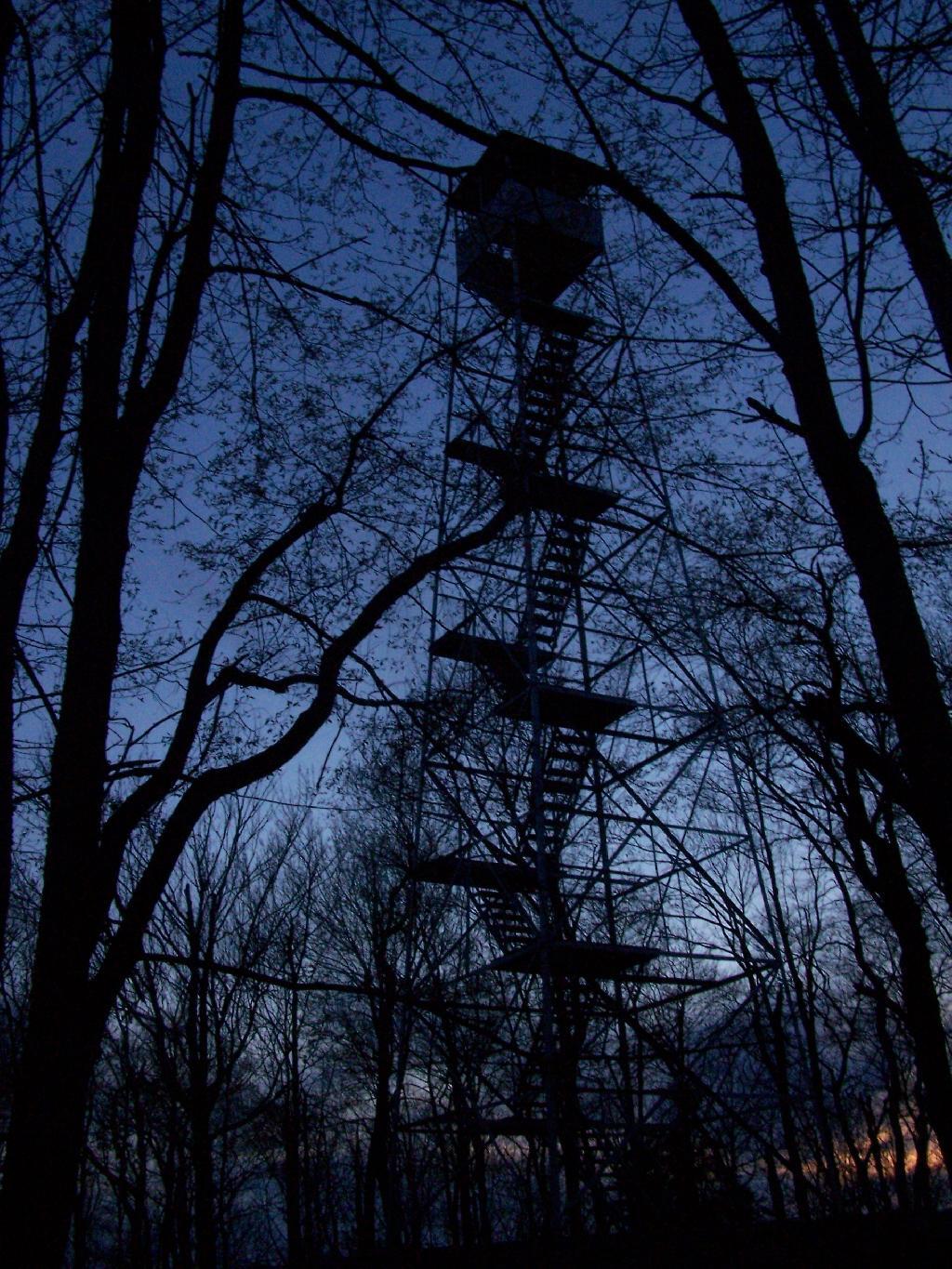
Firetower After Dark

The trail up Kane takes you up about 500 feet in elevation over a 1/2 mile. It’s an old woods road, and well traveled, so don’t worry about hiking after dark if you have a flash light or even just moonlight.
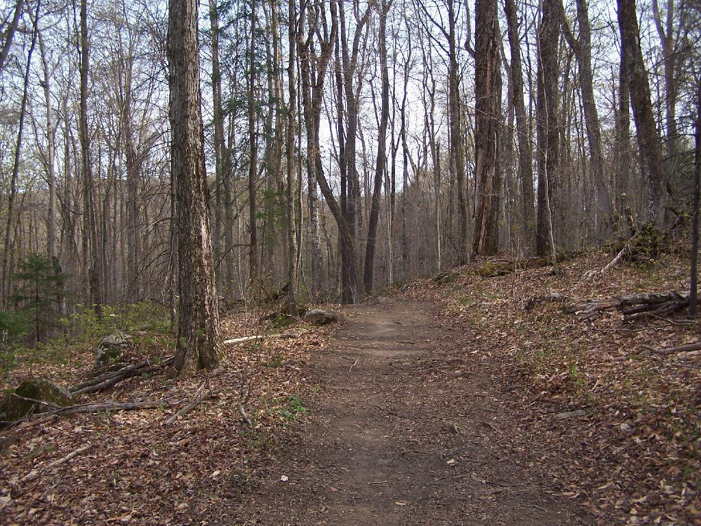
Trail Up Kane Mountain

Reaching the top of the mountain you reach the Firetower and an old Forest Ranger’s cabin, which sadly has been broken into and vandelized. It still was interesting to walk in and take a look at the cabin, including the tiny little woodstove that once was there. The bunks and other furniture where long gone from it.
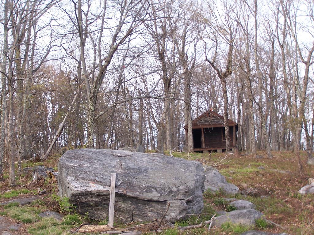
Ranger's Cabin on Kane

Remind me again why people have to be such pigs?
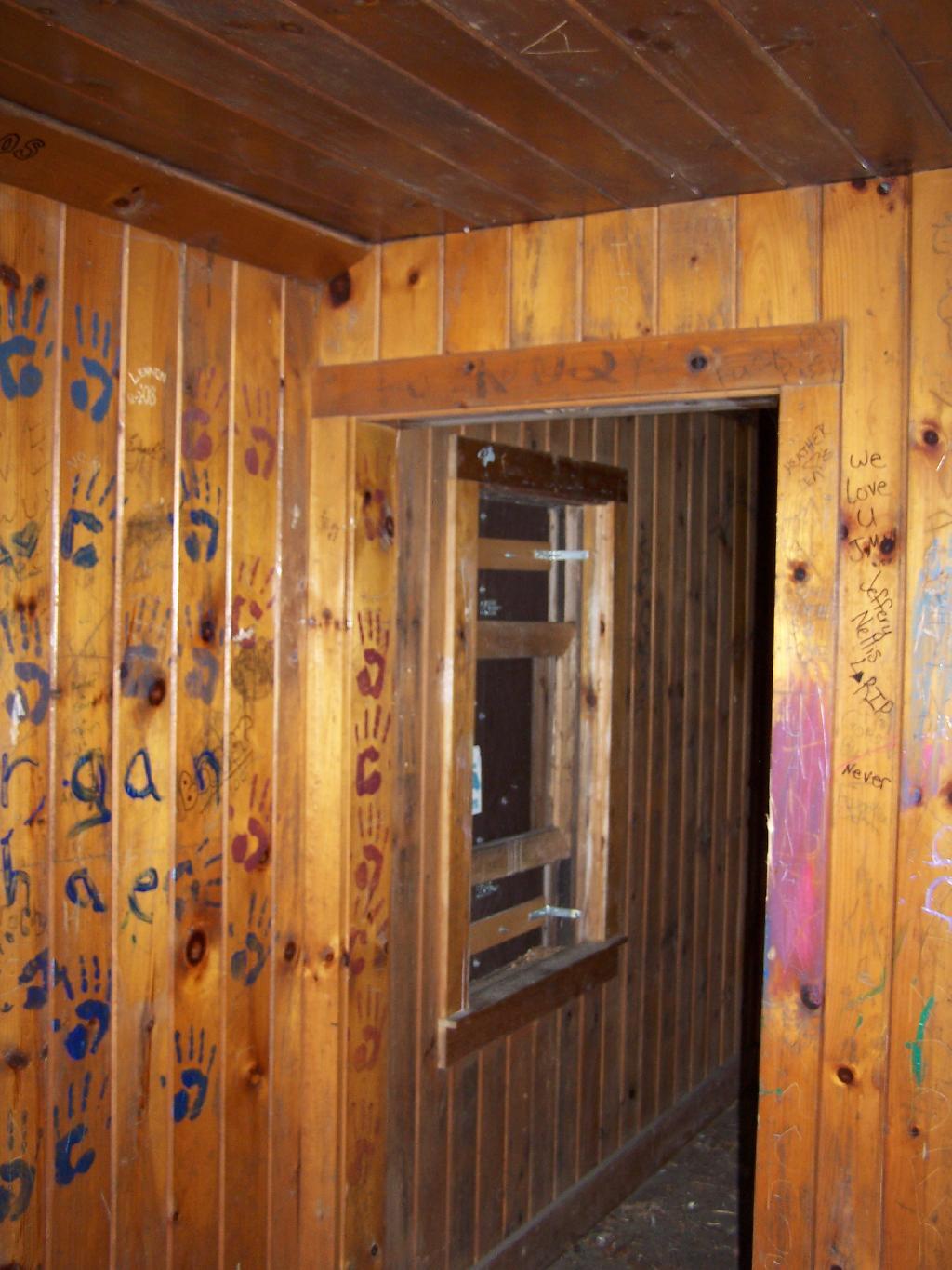
Inside Kane Mountain Ranger's Cabin

The Fire Tower has some really interesting views out of it, and it is an interesting place to watch the sun set from in the evening. Here is looking from the windows of the observer station, which have the glass removed.
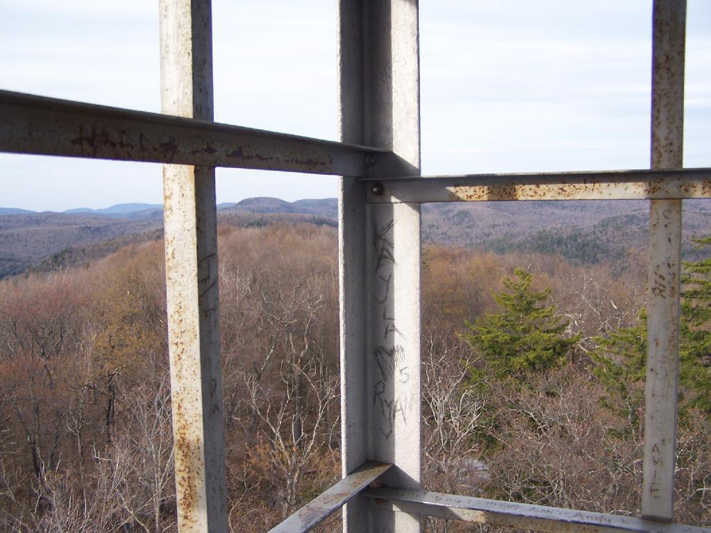
East Through Tower Window

Looking due South, you can see Canada Lake, Sheely Mountain, and the Mohawk Valley to the South. Once you get South of Sheely Mountain, the area around Caroga Lake is relatively flat until you get to the other side of the Mohawk Valley, with the ridges Schoharie High Lands.
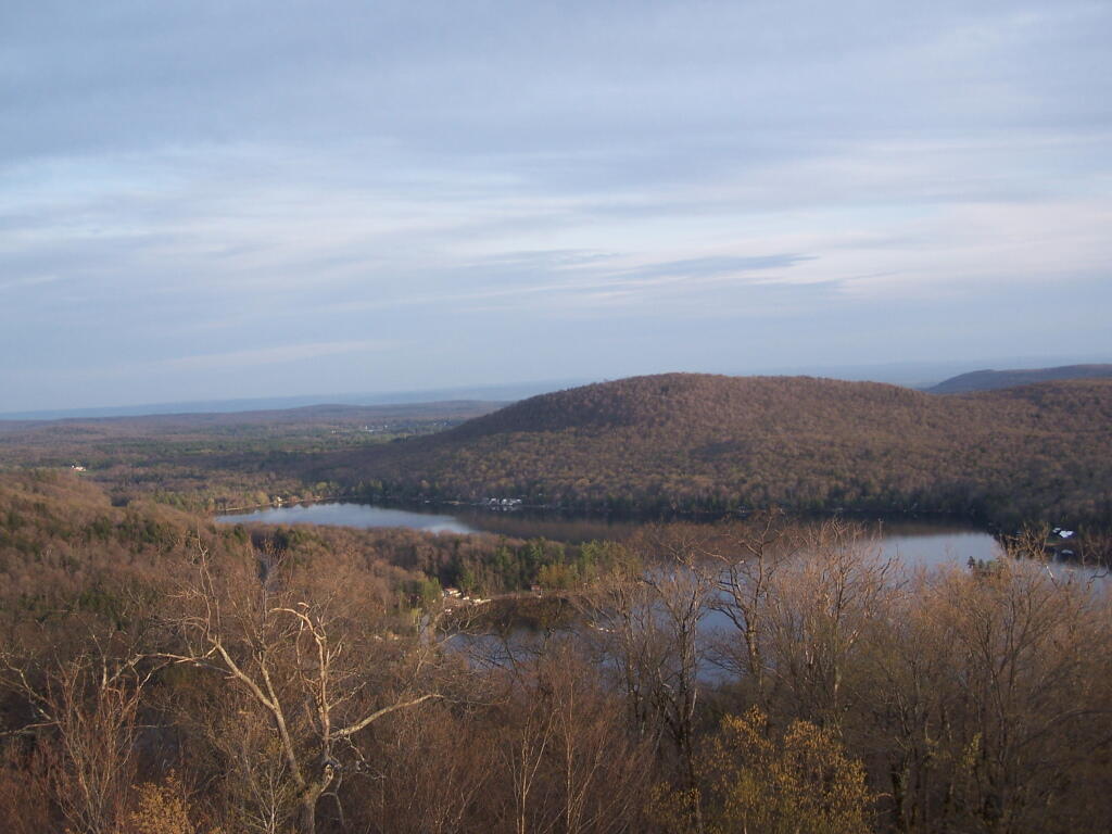
Sheely Mountain

The light flickers over West Lake, which is connected to Canada Lake.
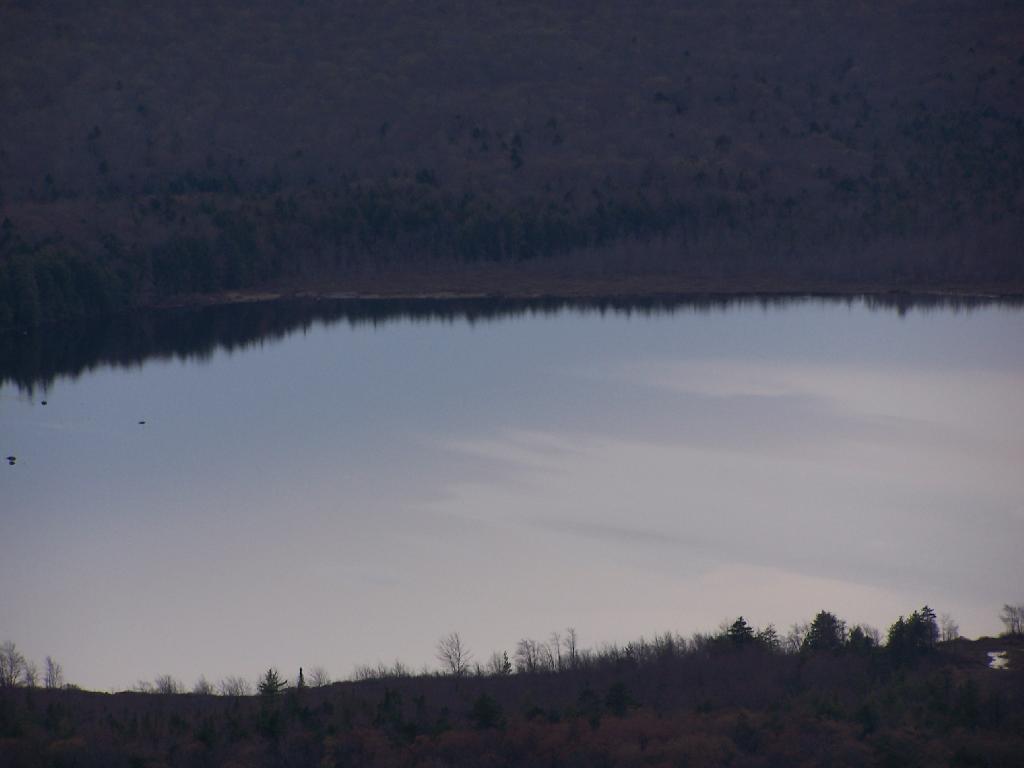
West Lake

Looking at the Southern Adirondacks, heading North along the NY 10 Coridoor. Until recently visiting this portion of the Adirondacks, I always generally viewed these lands as relatively flat, but instead as this picture shows, actually is fairly rugged, with peaks in the 2,000-2,500 elevation range, which is about 500-1,000 above the valleys below. Not flat exactly.
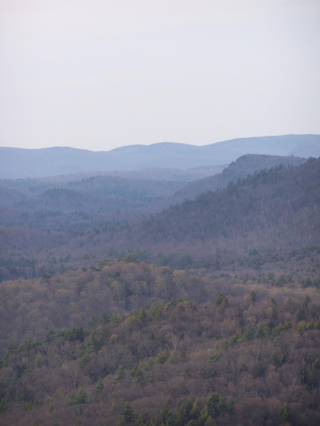
Mountains

Watching the setting sun from the Fire Tower.
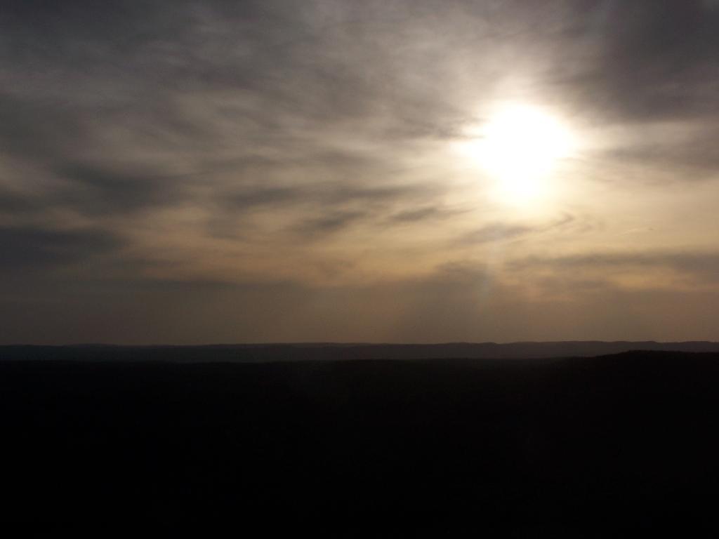
Setting Sun

Through the tower windows in the cab as the sun sets.
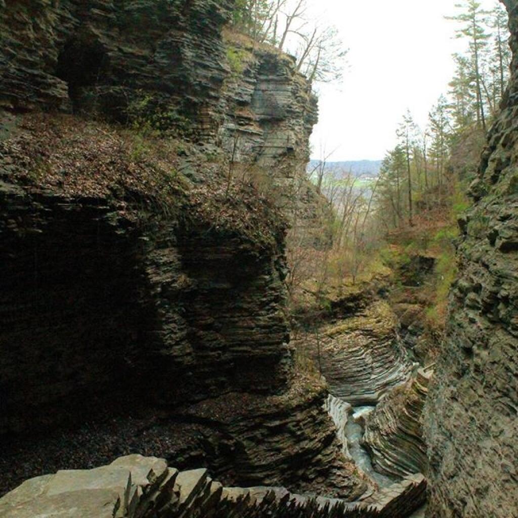
Gorge

Due to the clouds, it wasn’t a perfect sun set, but just before the sun disappeared into the clouds, here is what I saw.
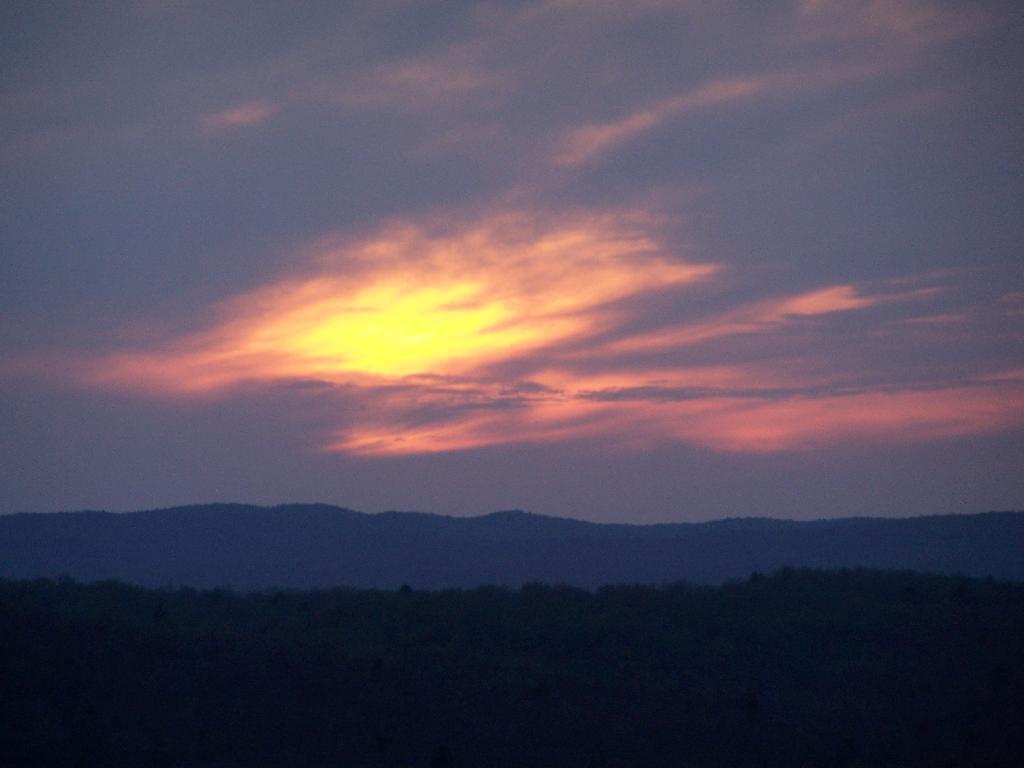
Good Night from the Tower

After sunset, looking at the fire tower by the last light of the day.

Firetower After Dark

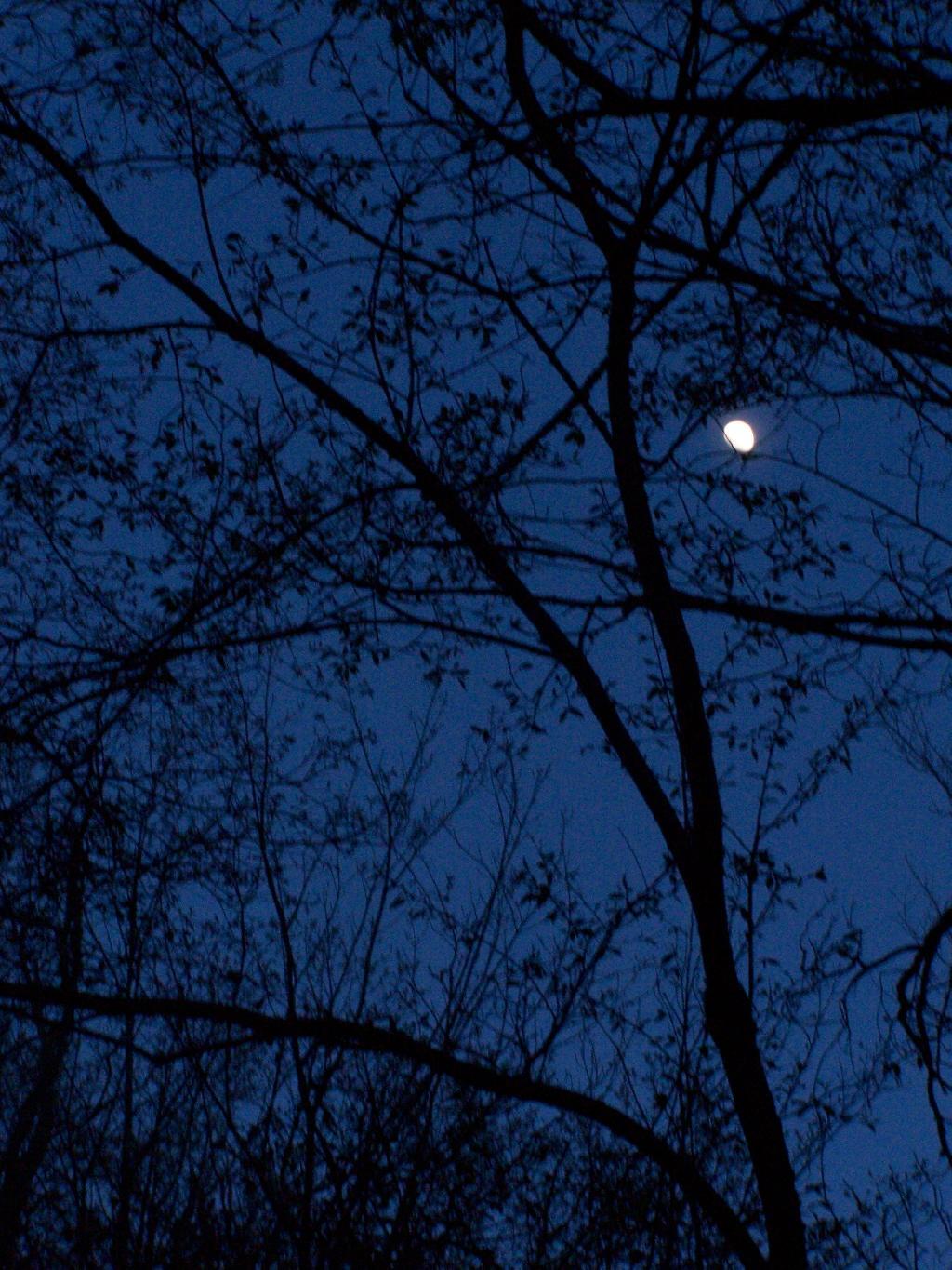
Hiking back there was a full moon.

Moonlight Descending the Mountain

Here is a map of the hike.


View Kane Mountain Firetower in a larger map

Map: Spy Lake
Map: Lamoka Lake

Severence Hill in April

One month after my first hike up Severence Hill, I decided to do another “cool” down hike up this mountain. In only a month, the look off the mountain had changed quite dramatically.

Here is Paradox Lake on March 7, 2010.

Paradox Lake Area

Here it is on April 11, 2010.

 Paradox Lake

With the Adirondack Snow having melted in the past month, things looked a lot different for sure. Things where already starting to show some signs of spring, and life, even if the Adirondack Winter still had another month to go before casting off it’s winter.

 Schroon Lake

I must have spent an hour staring down at Schroon Lake, just pondering the Adirondacks and possibly moving out west. It was such delightful weather out there, and while I was tired from a day hiking, there was so much beauty with the setting sun. I had no reason at all to rush back to Albany, having no commitments when I got back home, except to get ready for the next day at work.

Steep Bay

This hike, while short has so much beauty. Looking down at Steep Bay (part of Pharoah Mountain Wilderness) on Schroon Lake.

Hatchhack and Allered Hills

Then one last look at Hatchhack and Allered Hills to the south, silhouetted by the setting sun, as I descended the mountain, and headed back to Albany.


View Severance Hill Hike in a larger map
Hiking to Rossman Hill Lean-To

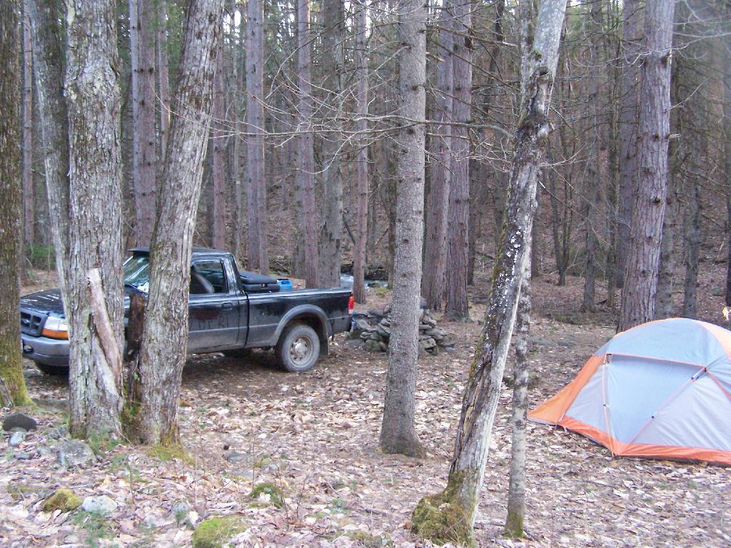
I’ve camped up at Burnt-Rossman State Forest a couple of dozen times. It’s one of my favorite places to go out truck camping, with it’s remote and quiet nature, and while I had known from maps that there was a lean-to up there, that one could hike to, I had never actually visited it. I had spent the previous night tent camping, and being up early, decided to check out the lean-to.

Campsite

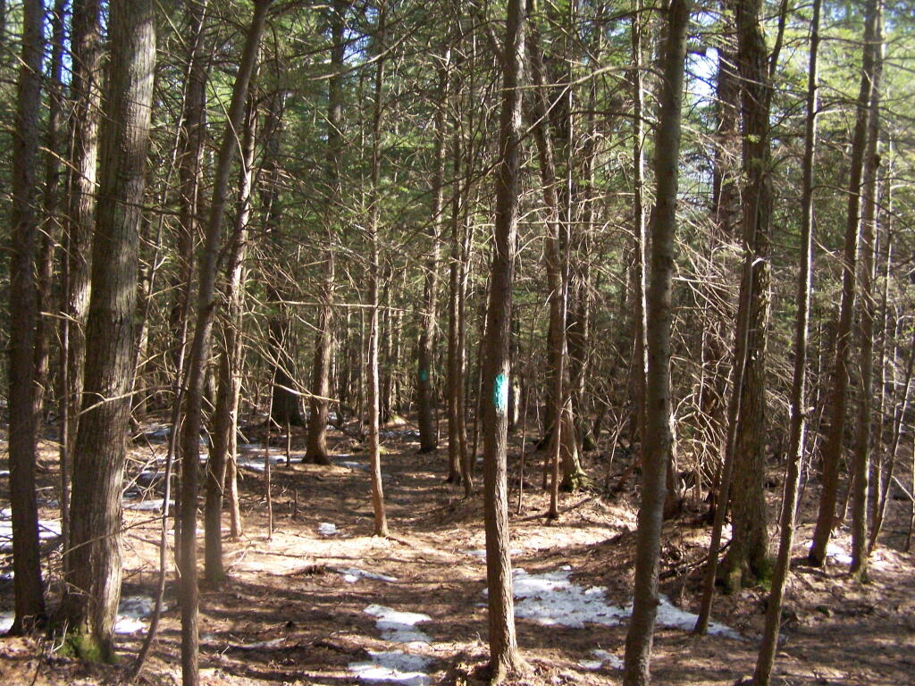
The lean-to is located on the section of the Long Path that crosses Morey Road, just south of Rossman Hill Road, right next to the old cemetary. Alternatively, you can access the lean-to from Burnt Hill Road, just up the hill from where Duck Pond Road splits off. The lean-to is located about a 1/2 mile from either road. Regardless of which way you choose to go, it’s a nice level hike through marshes and old timber stands.

Through the Woods

And old woods roads…

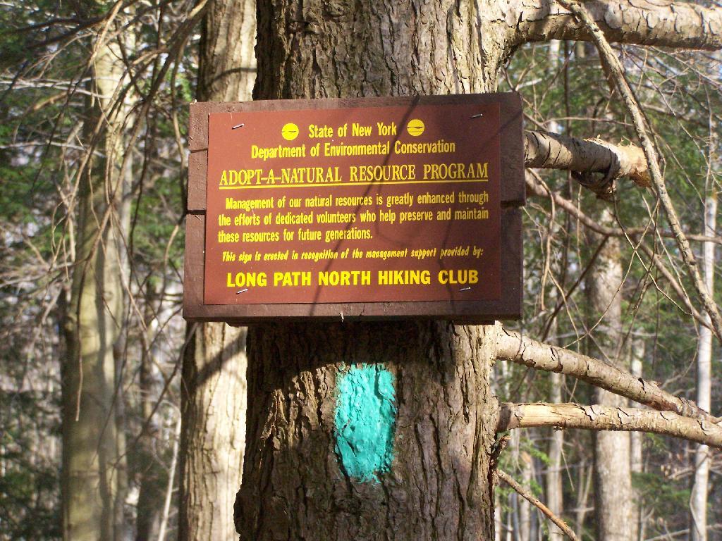
Adopt a Natural Resource

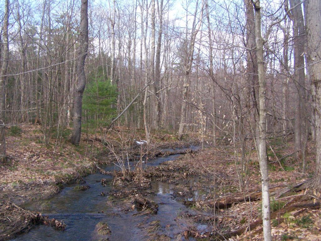
As you past by the headwaters of the Cole Brook, which ultimately helps feed the Schoharie Creek.

Headwaters of Cole Brook

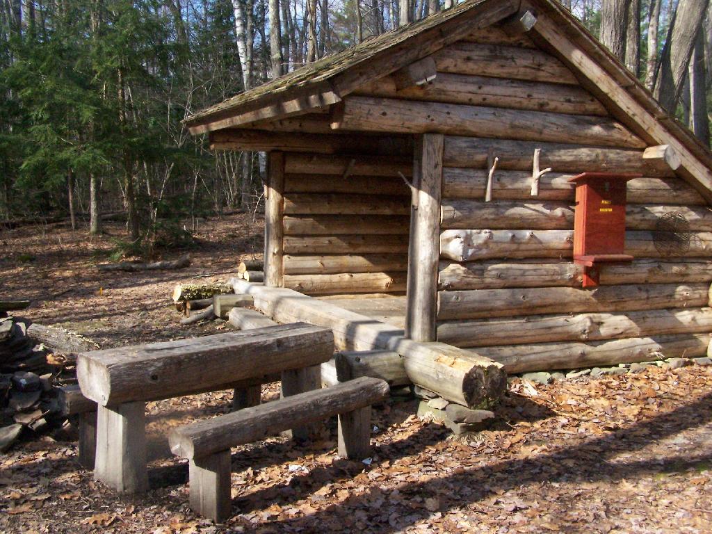
And the lean-to is really nice looking and only used occassionally, mostly by the locals.

Lean-To Side

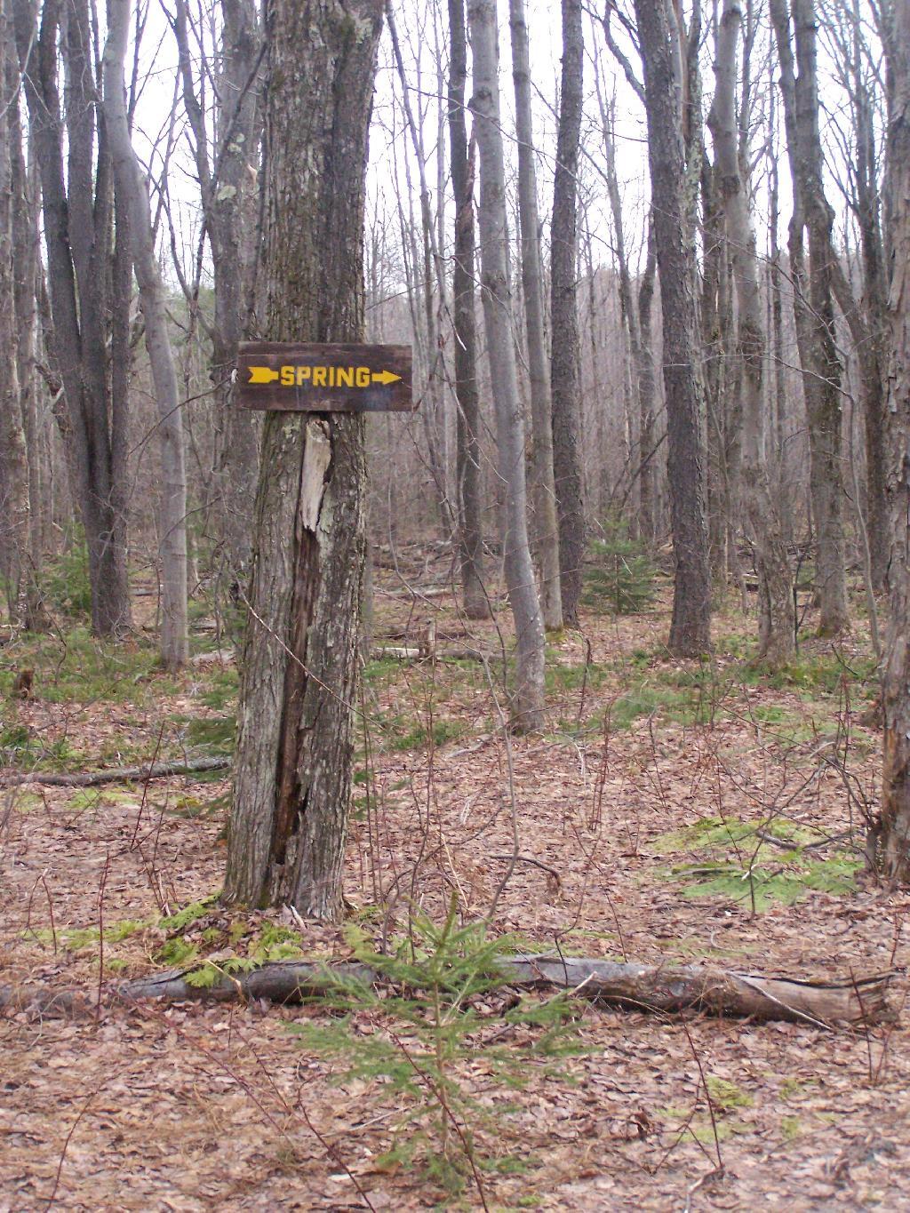
And it’s nearby a spring, or at least a marshy area that never gets wet.

Spring

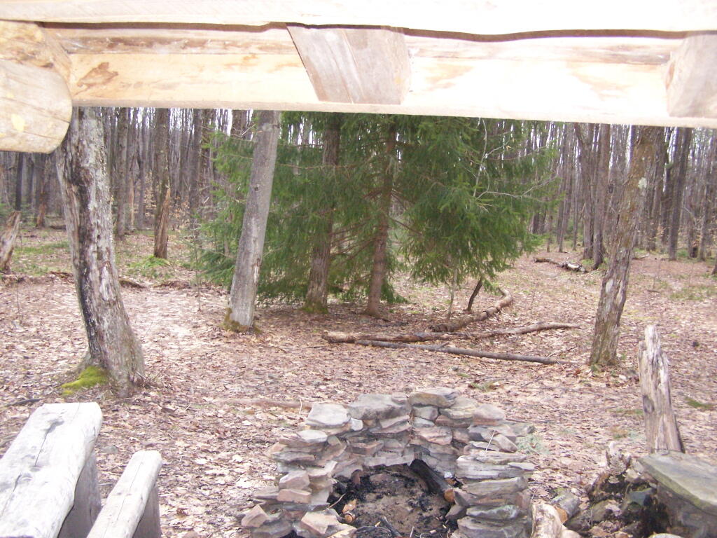
It’s definately some place I would like to stay some day.

 Looking Out the Lean-To

Here is a map:


View Rossman Hill Lean-To in a larger map
Mount Utsayathana in Early Spring

Two weekends ago I was planning to go hiking up Huntersfield Mountain, but when the trail conditions and time remaining wouldn’t cooperate, I decided to head over to Mount Utsayathana in Stamford.

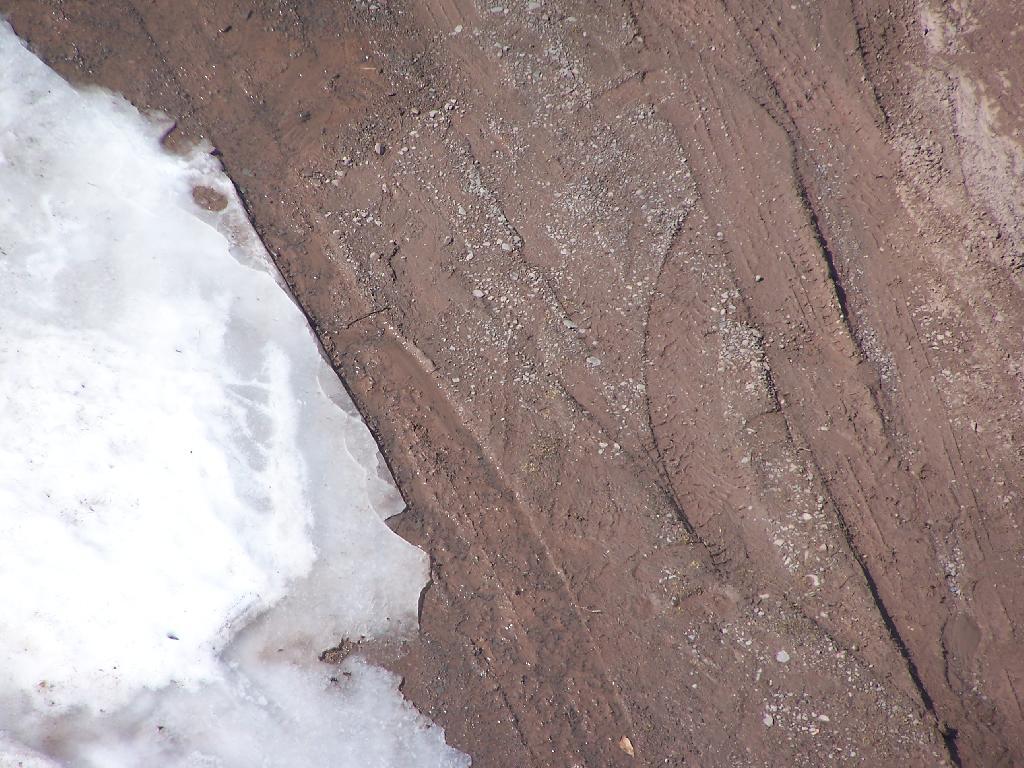
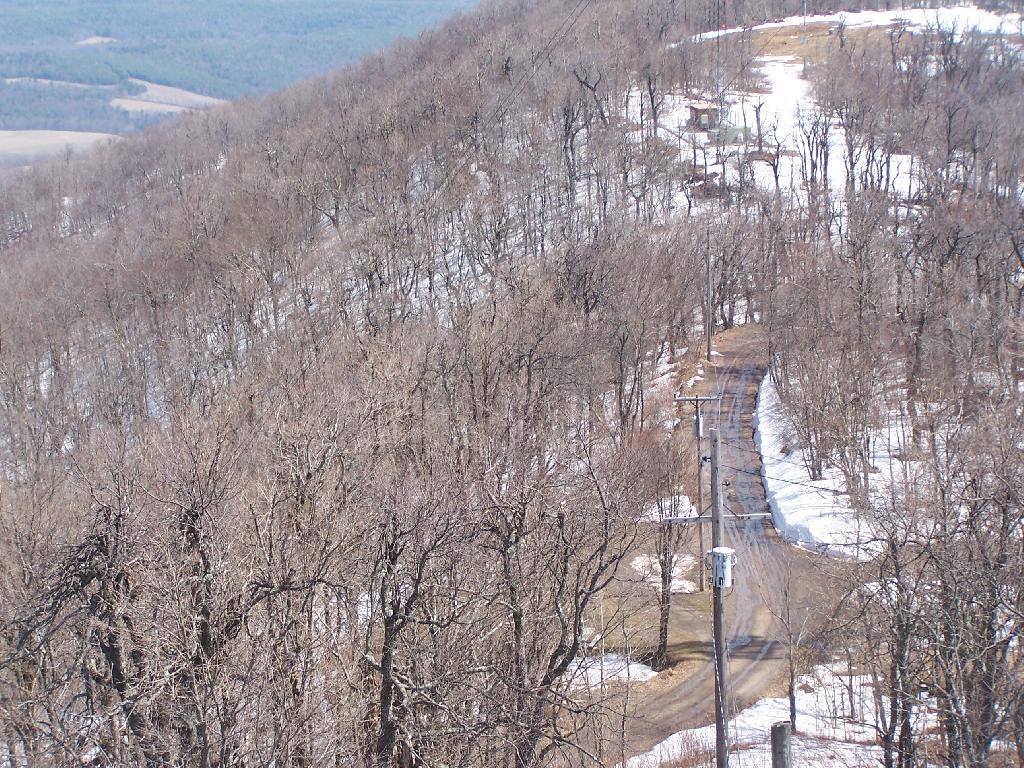
I fully expected to have to hike up the mountain because the steep and narrow truck trail would be unplowed, very muddy, and possibility icy. With the truck trail hanging right along the shoulder of the mountain without guard rail, you don’t want to fool around.

Ice and Mud

Quite to my surprise, it was only a little muddy up top, but the rest of the trail was dry. The top of the mountain had some snow drifts, but it had been plowed throughout the winter.

Truck Trail to Fire Tower

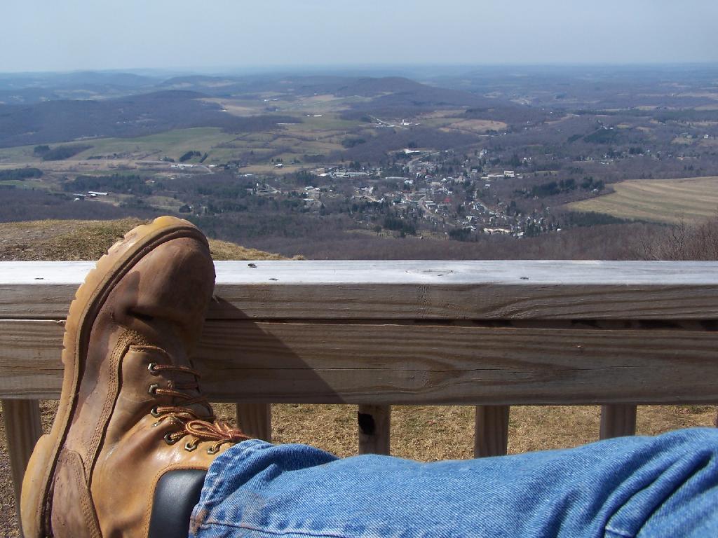
It was a beautiful early spring day out there, looking down at Stamford from the porch of the Utsayathana Mountain House. Things are starting to green up down there, and signs of spring are in the air.

Boot

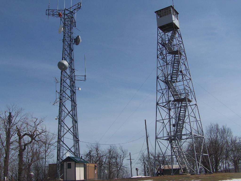
Walked over to the fire tower, and climbed on up.

Firetower and Radio Tower

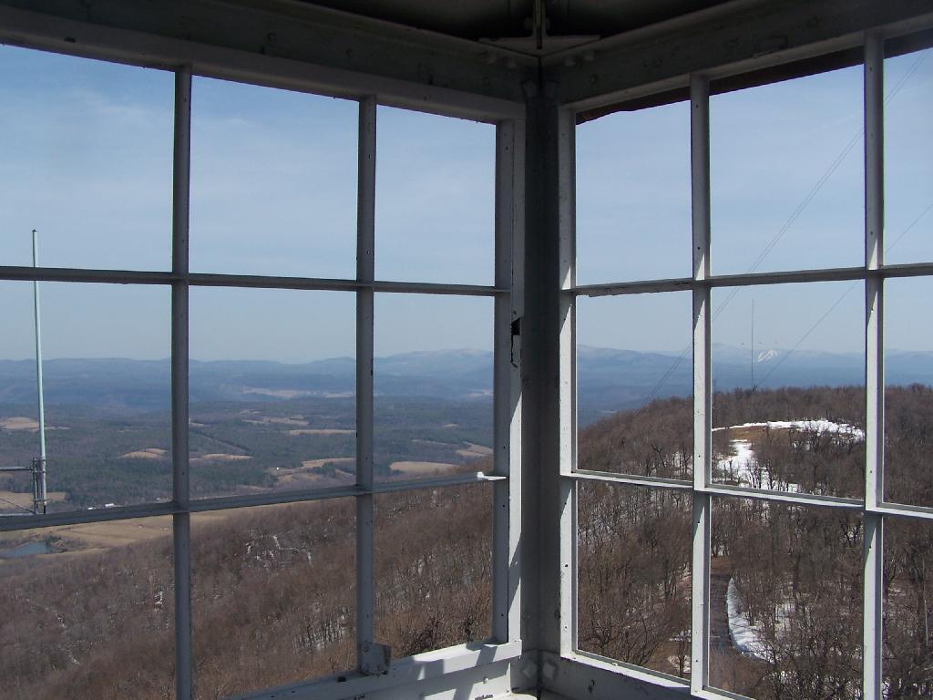
View out of the Firetower windows.

Tower Windows

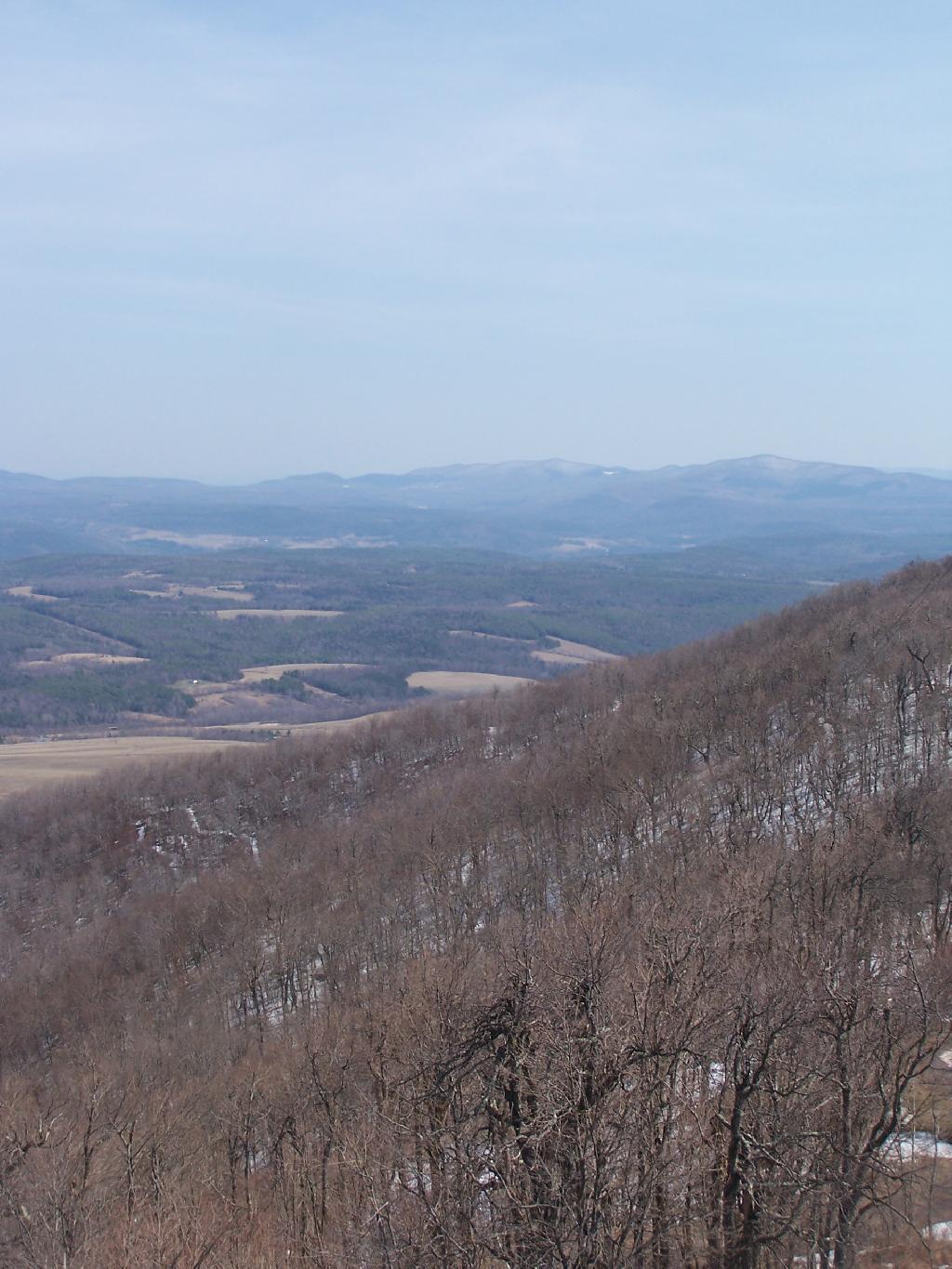
Looking East towards Huntersfield Mountain and the low lands towards Grand George.

East

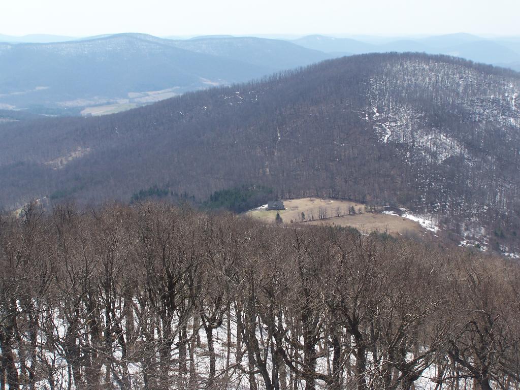
And the western mountains of the Catskills, and the deep agricultural valleys within in them.

House at End of Township Valley

Towards the North the ridge continues on a little ways to Bald Mountain, then you get into the standard ridged landscape that covers most of Upstate New York.

North

Here is a map.

Do make sure to check out the same great views from when I was up there six months ago in peak folliage of October.