Harmon Hill
Harmon Hill is a short but steep hike outside of Bennington, VT. You go up some 1,200 feet in a little over 1.7 miles from the parking area deep in the Dunville Hollow just west of Bennington for modest views up north and west of Bennington.
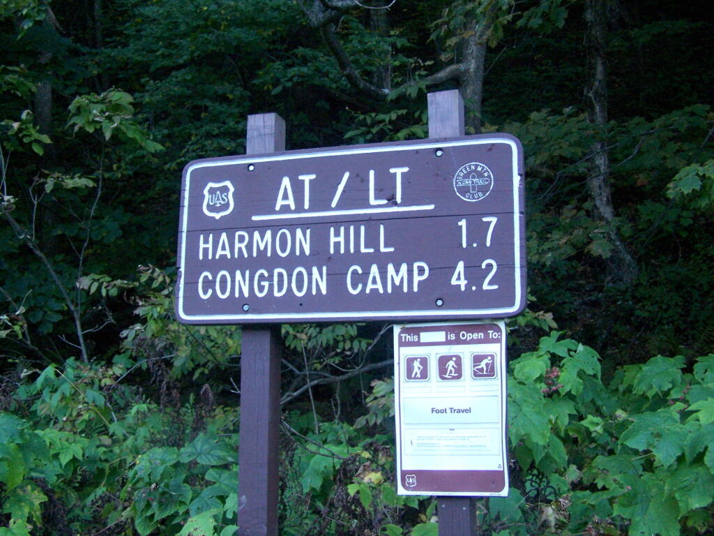
The trail up it is part of the Long Trail, which is duplexed with the Applachian Trail in Vermont. Here is the sign near the parking area.
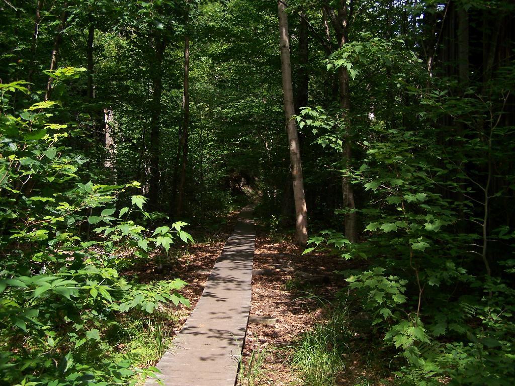
It is a steep 1 mile as you make most of the 1,200 ascent. There are not much views as you climb out of the Dunville Hollow, just a lot of rock-steps and steep switch backs as one climbs up the mountain.
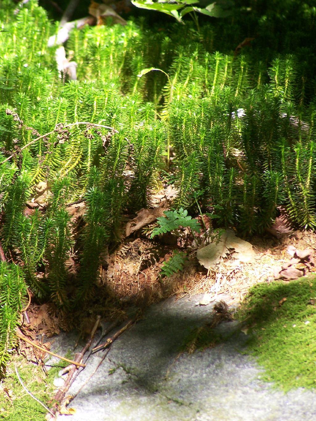
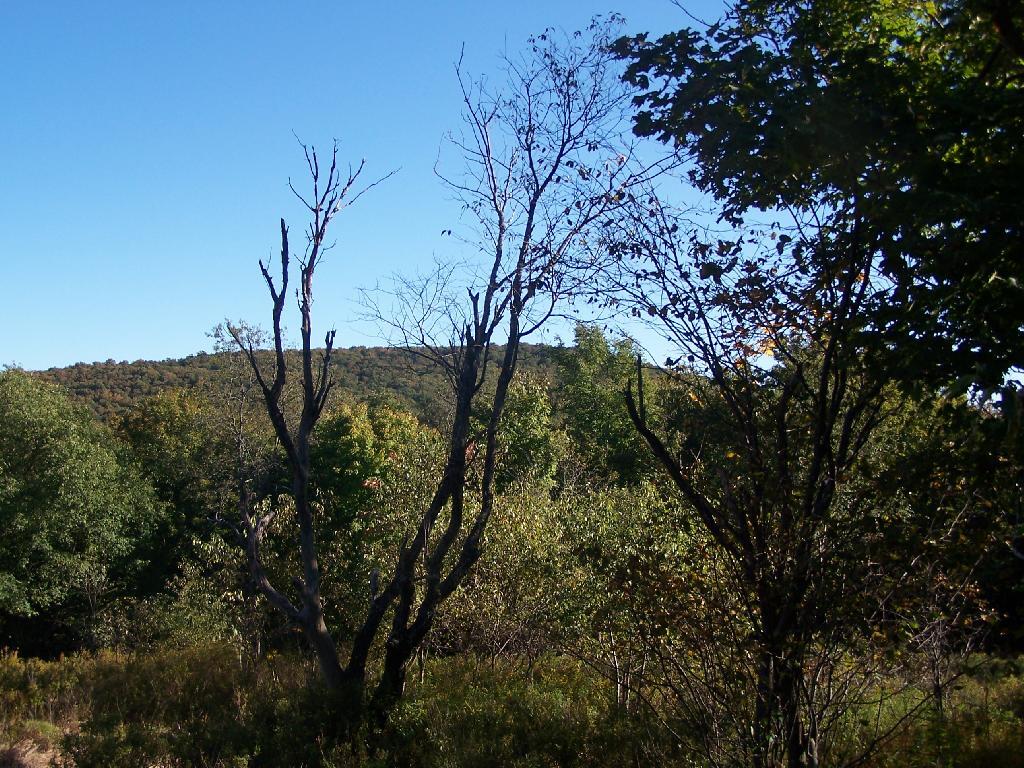
Likens along the trail.
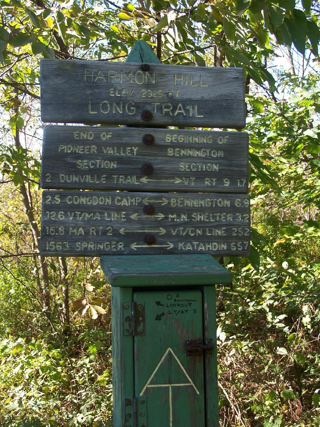
A destination sign tells you that you’ve reached the Pioneer Valley section of the Long Trail and are starting the Bennington section.
When you come to the top you have an interesting view of Mount Anthony, Bennington, and in the far distance the Champlain Valley and the Adirondacks.
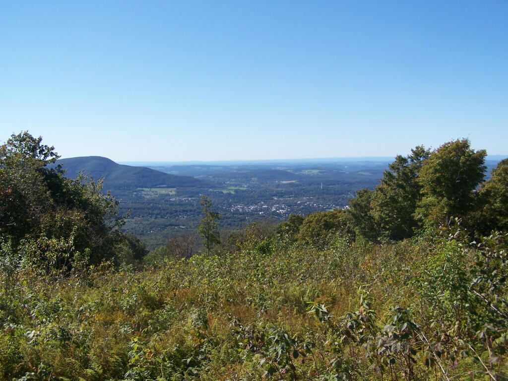
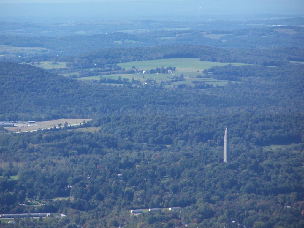
You can see the Bennington Monument and the surround farms near Bennington from the mountain.
Towards the North, you can see some of the Adirondacks towering over the much lower range of the Green Mountains, including Grass Mountain.
This is the second peak of Harmon Hill, which is view less. I hiked to Harmon Hill and the viewless points further south on the Long Trail.
Here is a map of the hike.


