campsites

Kayaking Long Pond

Long Pond offers 8 designated roadside campsites, and a handful of other informal campsites on the other side of the lake. A large man-made lake in an agricultural landscape of Chenango County, it offers some excellent fishing and nice views, especially for Chenango County.

Reed Hill

This map below shows where each picture was taken roughly in the area.

Farm on North-West Side

Flower on Lake

Barn Along NY 41

Rain Drops

Bailed Hay Along Pond

Flowers

Dolph Pond State Forest

Great Blue Heron

Finally Starting to Clear!

Timber Planation Along Long Pond

Blue Skies

Checking the Map

Clearing

Hatch Brook Falls

Dam at End of Lake

 Fields

White Birch Planation

West from Dam

Campsite 7

Golden Rod

Golden Rod, Trees, Clouds

Evening Sun Peaking Out

Rays Hitting the Pond

Backlit

Evening Sun Peaking Out

Sunset on the Lake

Sun Rays

Reflections of Sun

Kayaking Woodhull Lake

To get to Woodhull Lake, you have to take McKeever Road from NY 28 in McKeever (1/2 mile before it crosses the Moose River, then drive back about 6 miles on a dirt truck trail known as Wolf Lake Landing Road. You put in at Wolf Lakes Landing, which is named after one of the lakes that Woodhull Lake covered when it was dammed up to form a larger lake to provide water supply to the Erie Canal.

 Woodhull Lake

While the road is fairly well maintained one-lane gravel truck trail, one creek crossing is a bit eroded from the rains of 2011. There are roughly 6 designated roadside campsites along the road, with minimal to no facilities that you can camp at. You can drive all but an 1/8th of a mile up to Woodhull Lake, where the road is gated off, from there you have to carry your kayak or canoe to the lake on the gravel road. Consider using wheels on your kayak to assist on this portage.

Here is a map of Woodhull Lake. Consider clicking on it, for a high-resolution map that you can print up, put in a plastic bag and use on the trip like I did. It works really well like this, and I think this map prints out to be nice and high resolution, especially if you have a color printer.

Heading Out to Woodhull Lake

Beautiful Morning Out

Camp

Boulder Sticking Up in Lake

Past Remsen Point

Trees on Remsen Point

Big Island

Boulders in the Lake

Another nice evening in America's most ethical capital

Big Island

Reflections

Passing Under a Low Tree

Motor Boat

North Side of Lake

Parked at Woodhull Lean To

Inside Woodhull Lean-To

Large Lean-To

Lean-To from Lake

Remsen Falls Trail

Intersection of Woodhull Mountain Trail and Remsen Falls Trail

Wilcox Lake

Campsite 1 at Remsen Falls

East on Middle branch of Moose River

Above Remsen Falls

Campsite 2 at Remsen Falls

Remsen Falls

The Falls

Falls

Along Moose River

Whitewater at Falls

Water

Decent Picnic Table at Campsite 2

Remsen Falls Signs

Later in Evening On Lake

Island on the Lake

Behind the Island

Trees on Island

Exploring Back of Island

Clouds in Evening

Clouds in Evening

Doe and Fawn on Lake

Keeping an Eye on Me

Another Island

Reflections

Brasher Falls State Forest

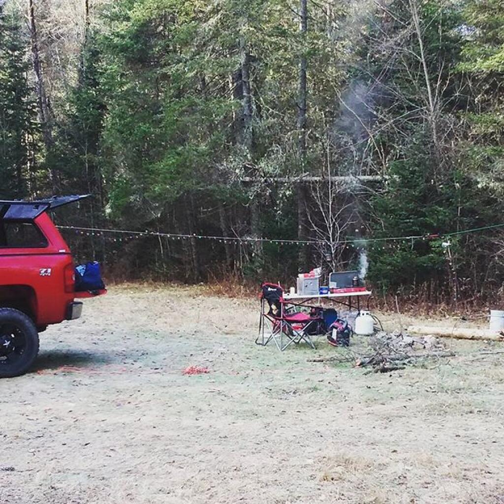
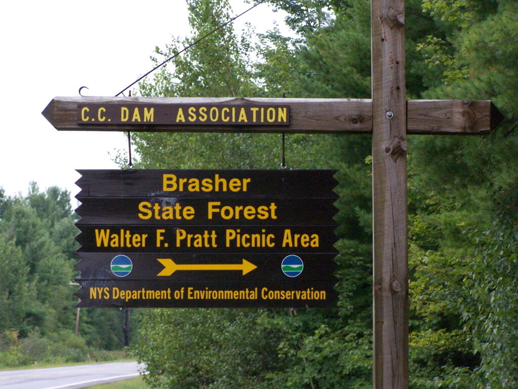
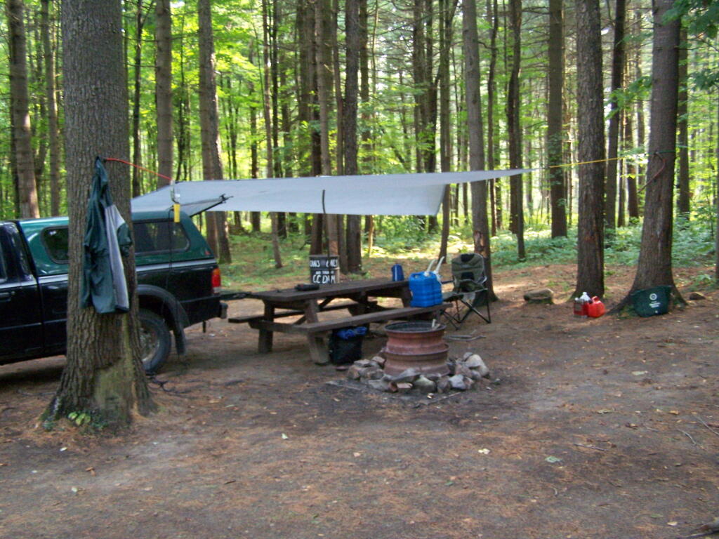
There are two camping areas in Brasher Falls: The Tri-Town Equestrian Assembly-area (field camping) off Truck Trail 901, north of DEC Maintenance Garage, and a 21-site Drive-in Camping Area known as the CC Dam Association / Walter F Pratt Memorial Forest at Redbrook River Dam. The CC Dam Association area is maintained by a group of local volunteers, and offers many amenities not found at most primitive camping areas. It also staffed by volunteers on weekends.

Brasher Falls Sign

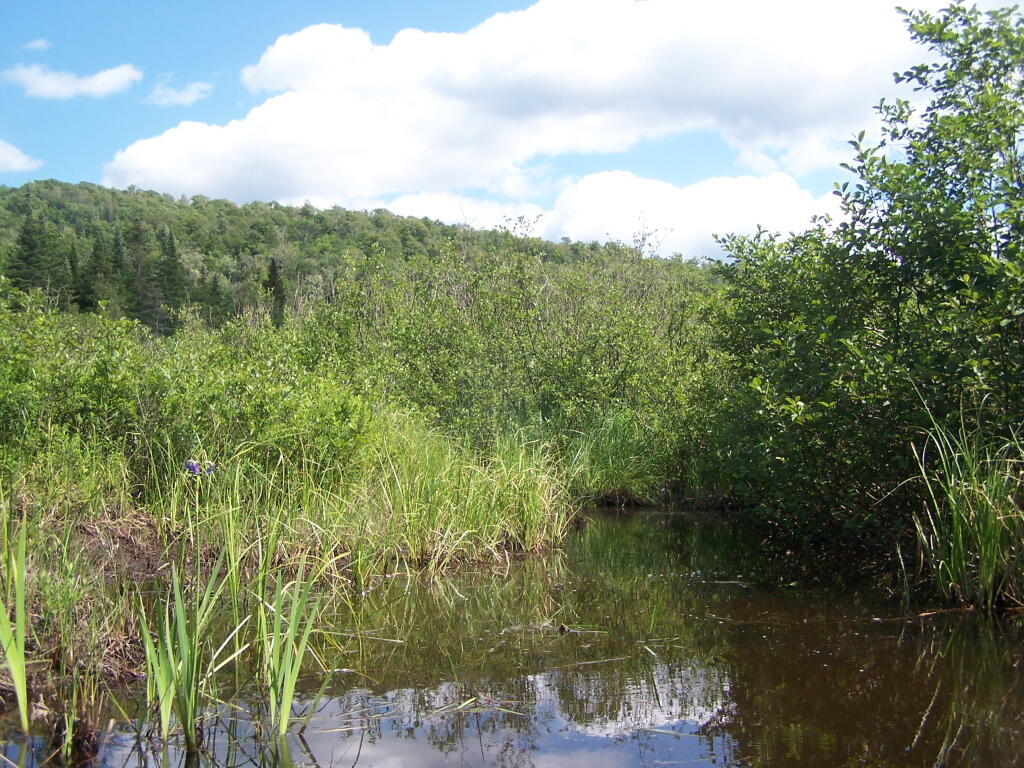
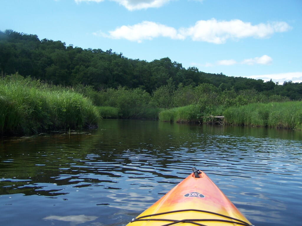
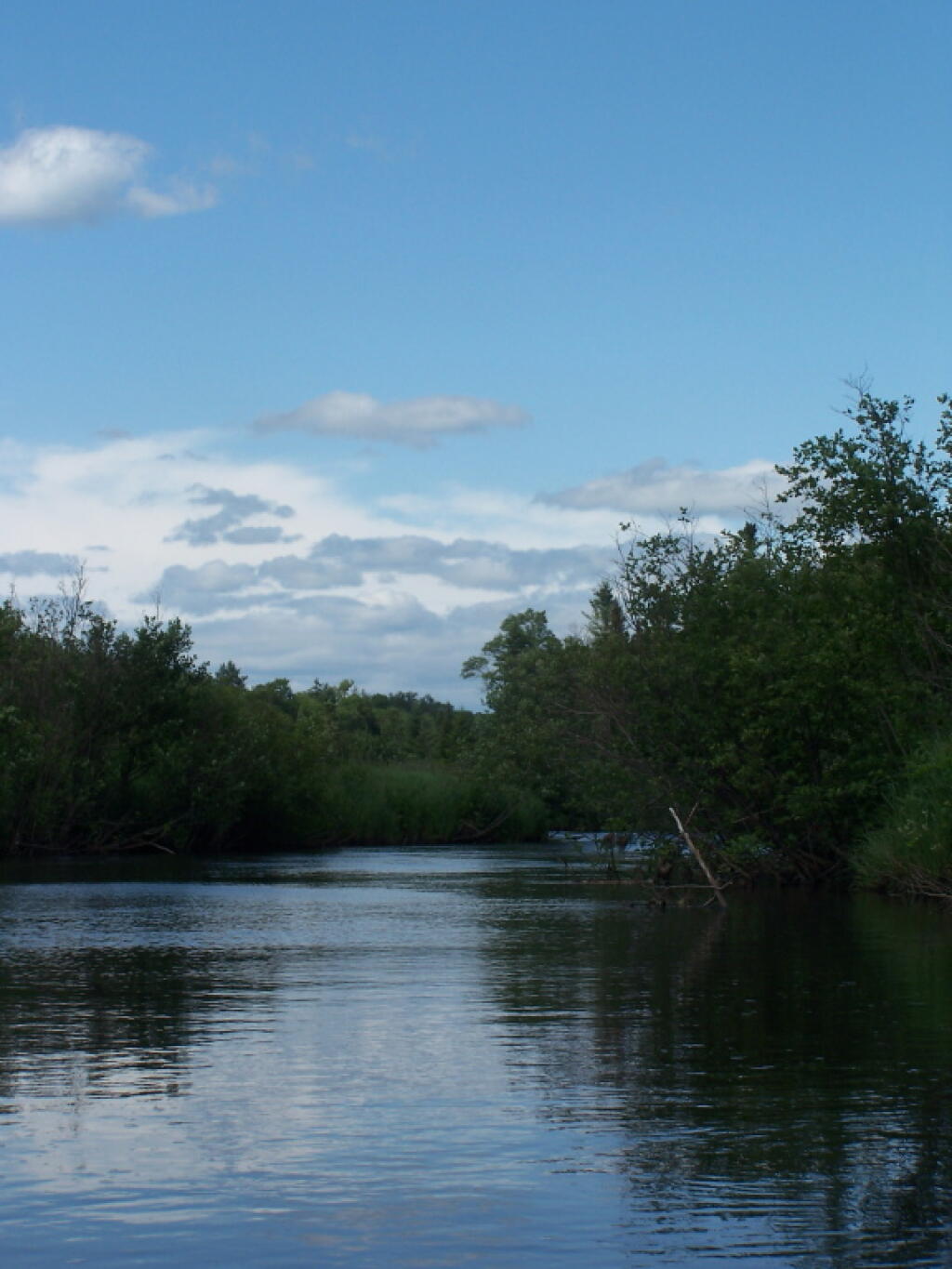
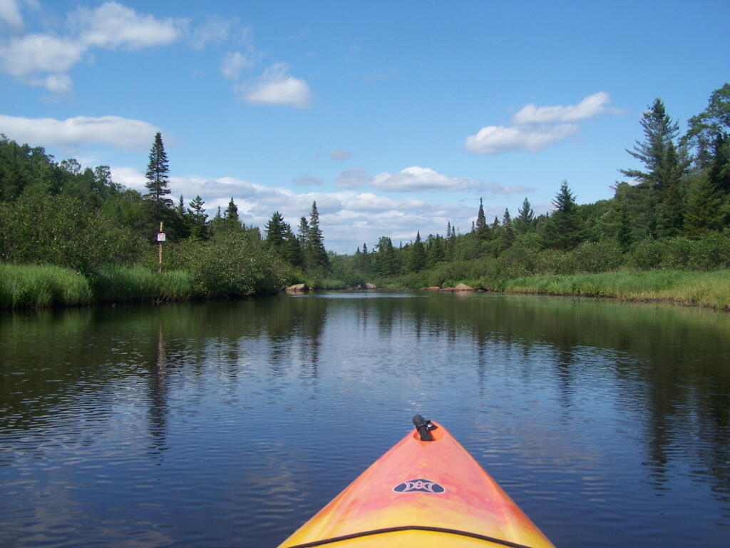
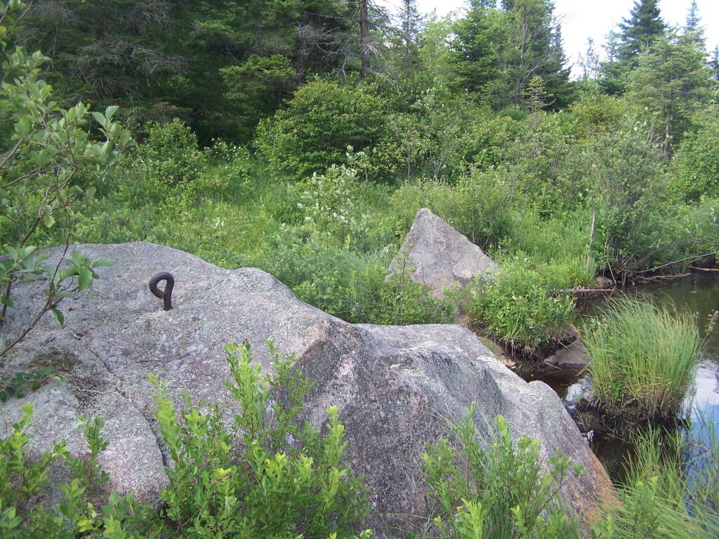
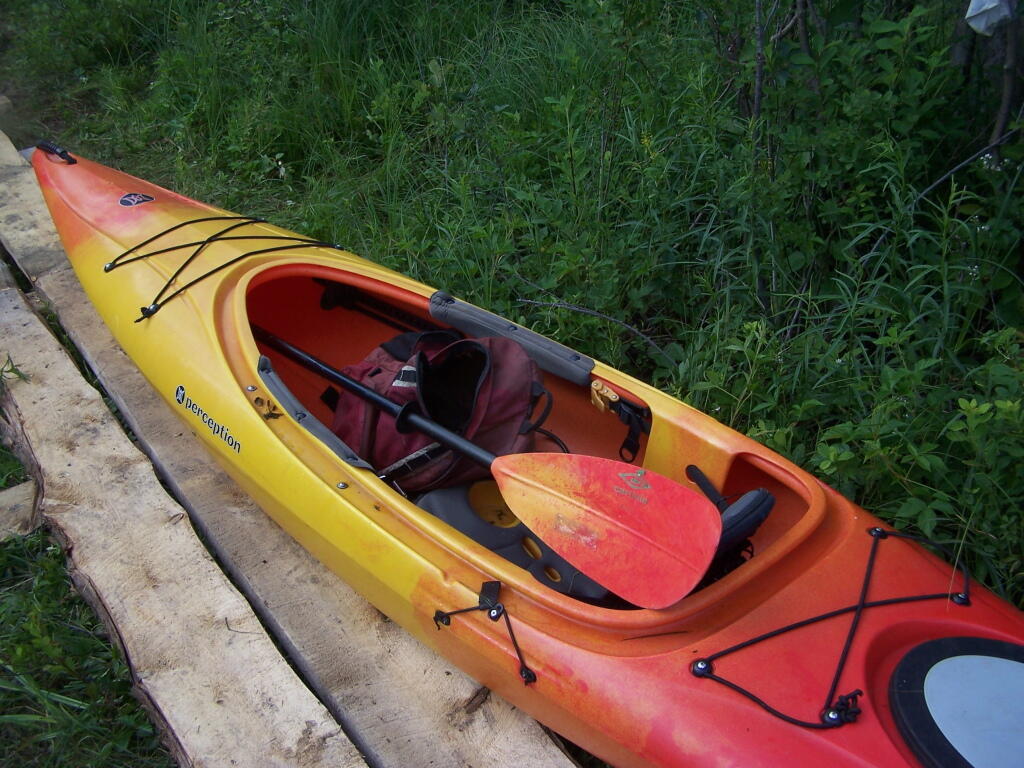
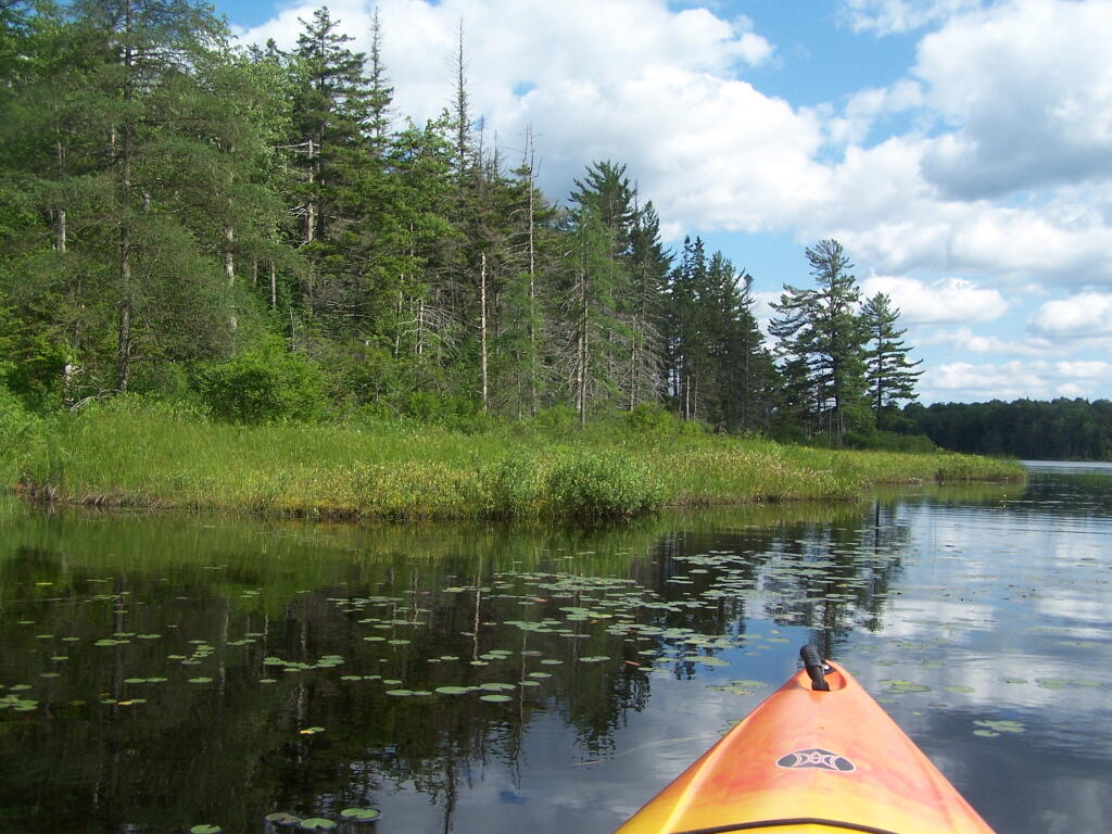
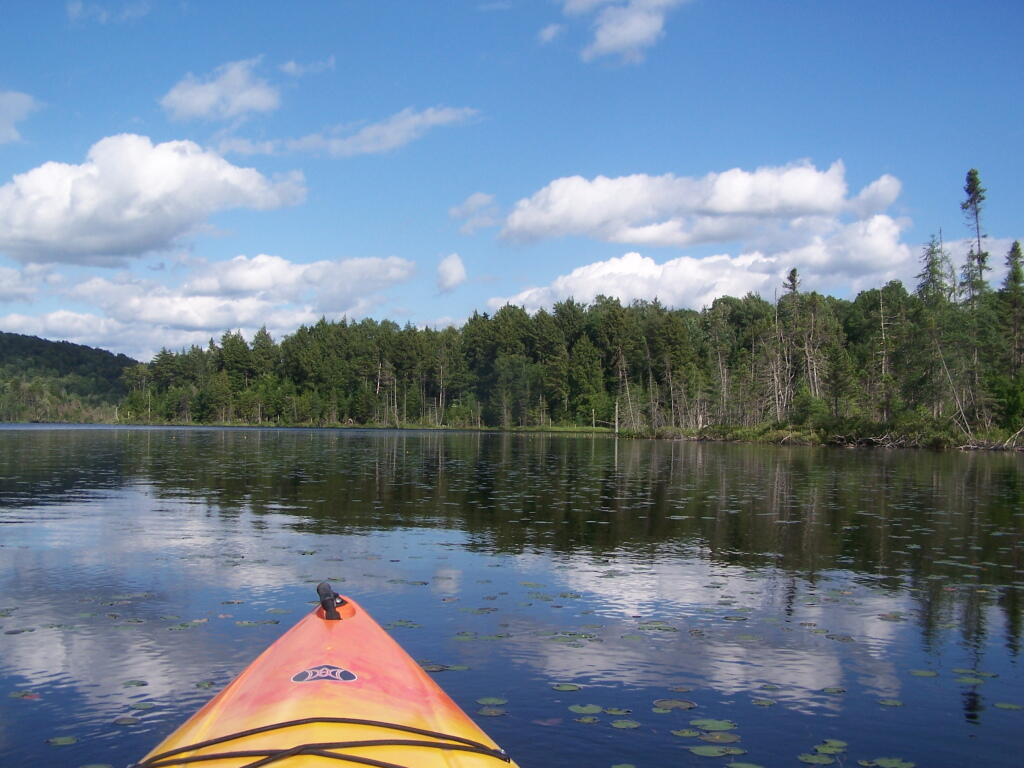
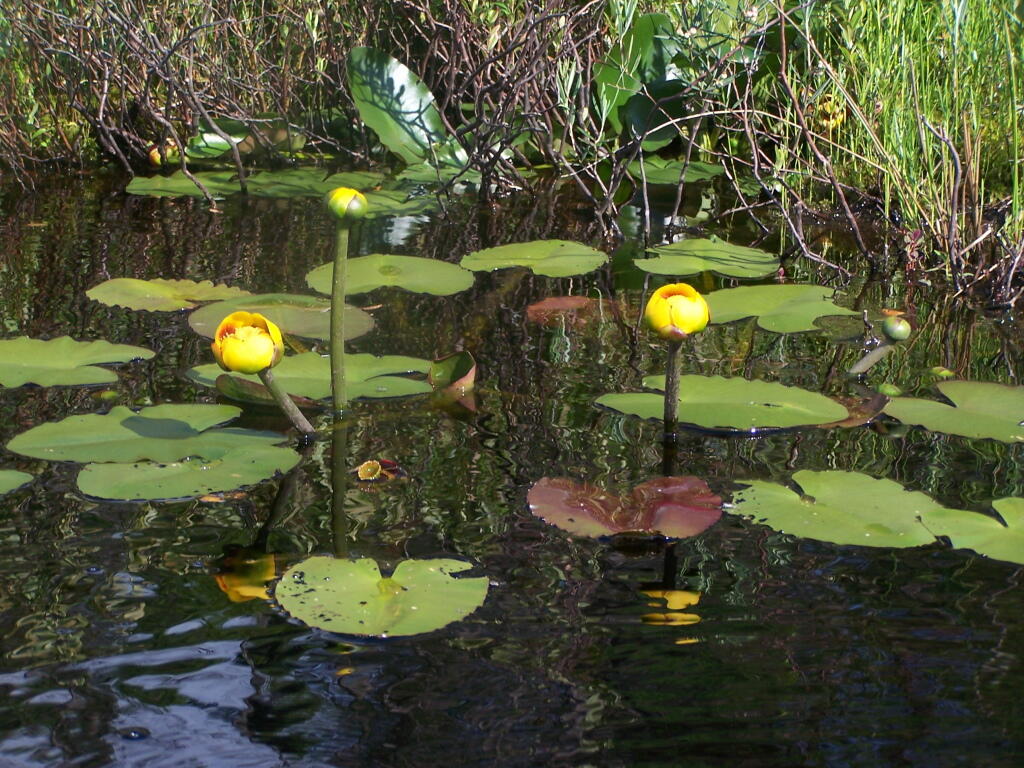
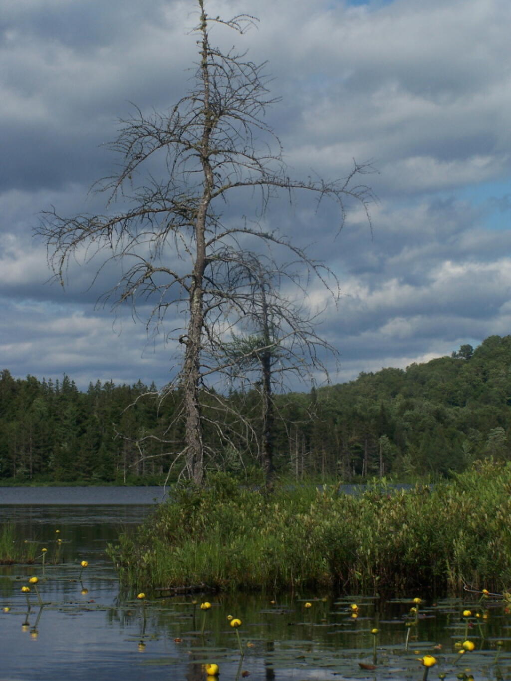
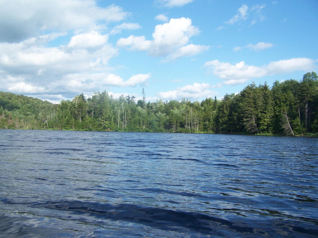
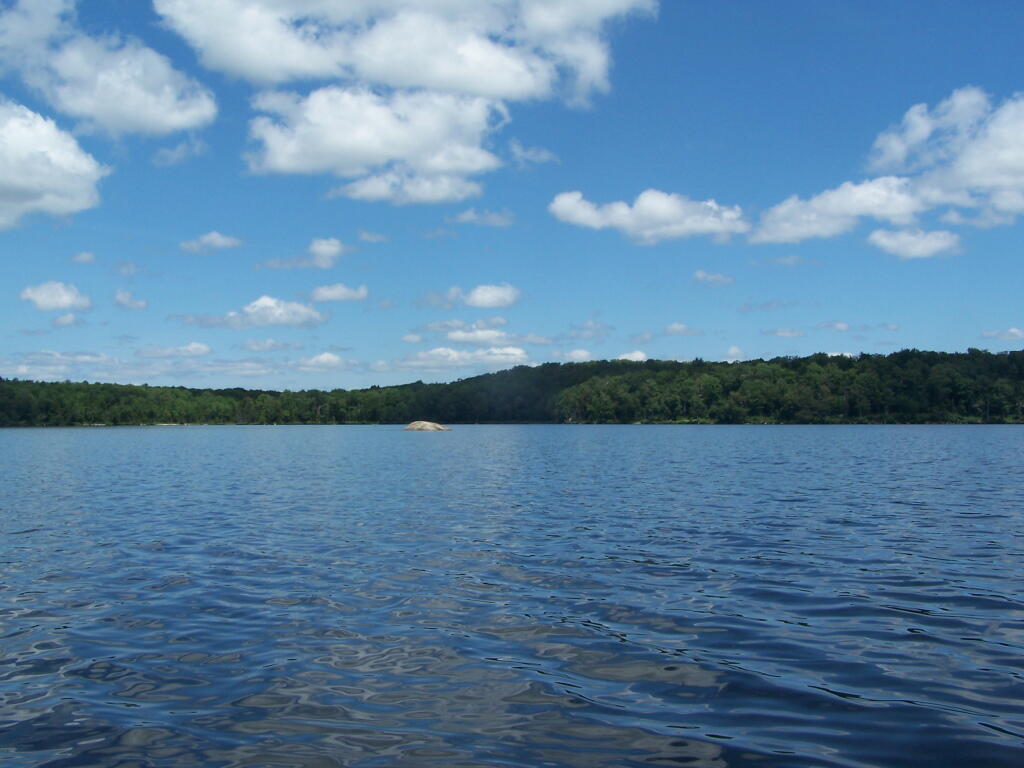
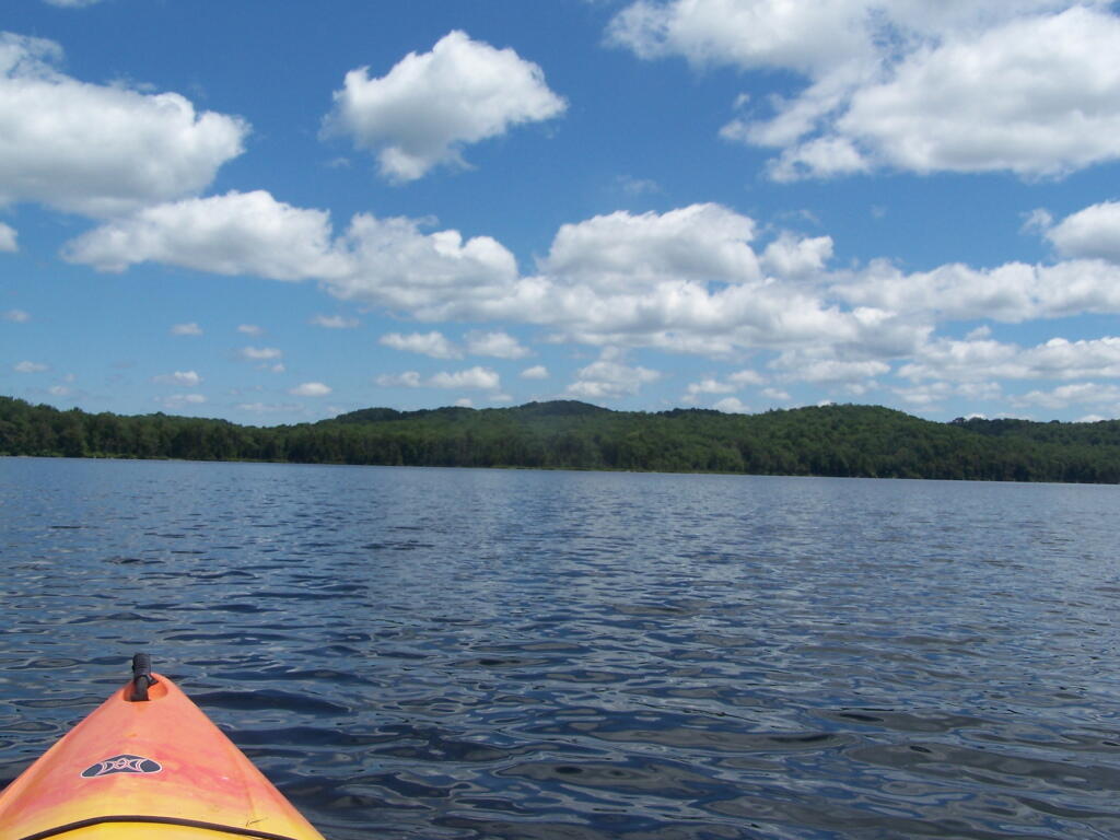
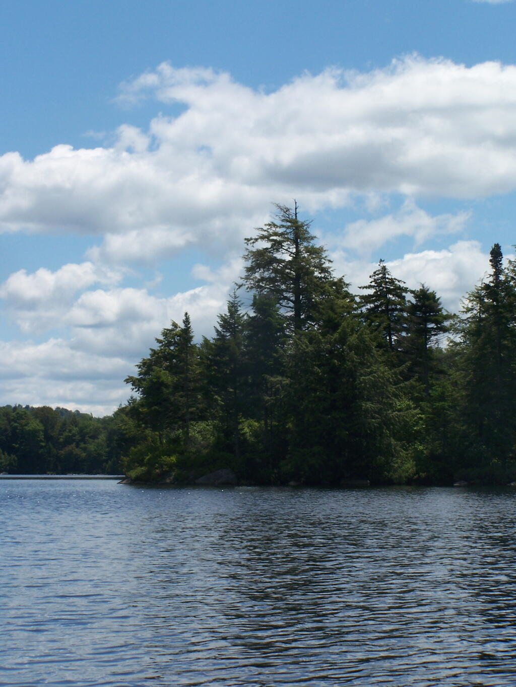
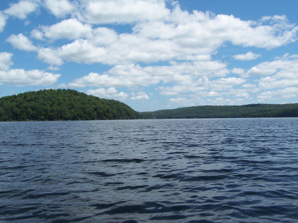
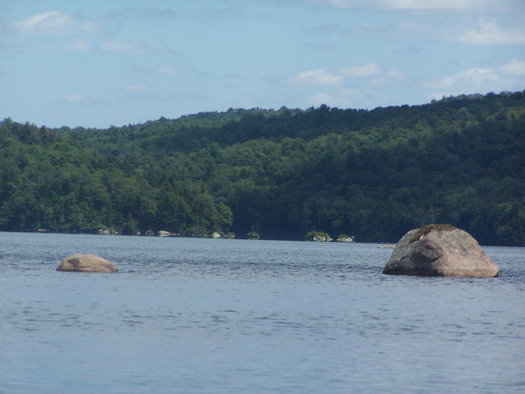
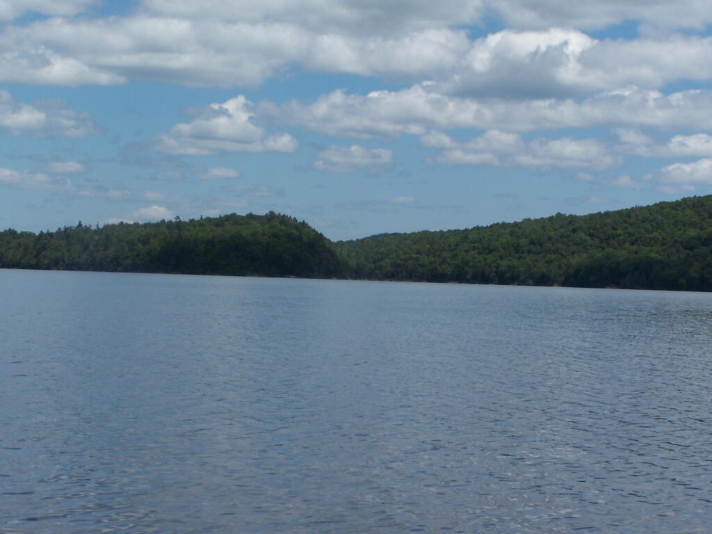
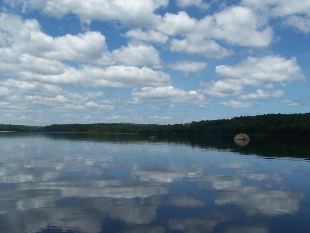
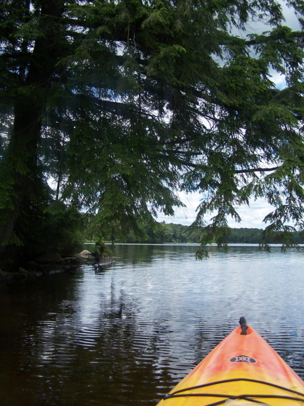
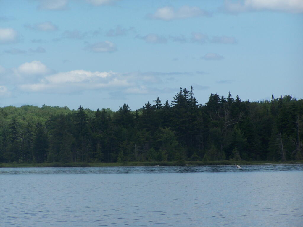
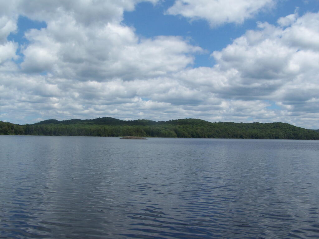
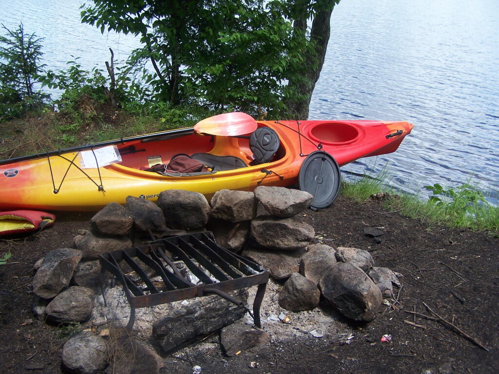
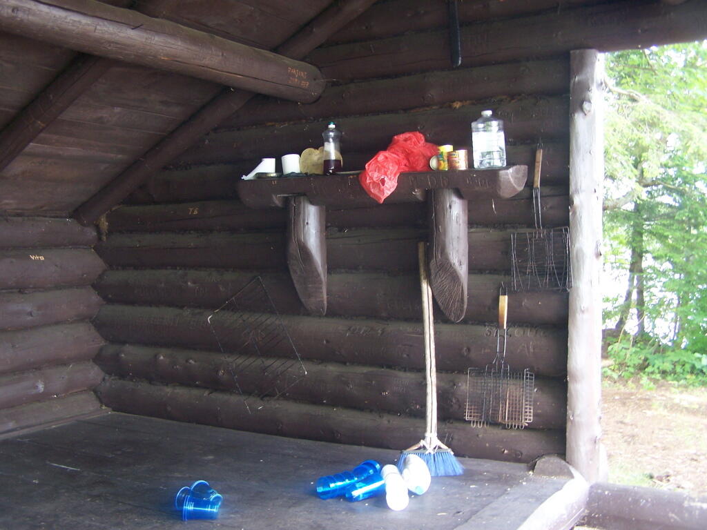
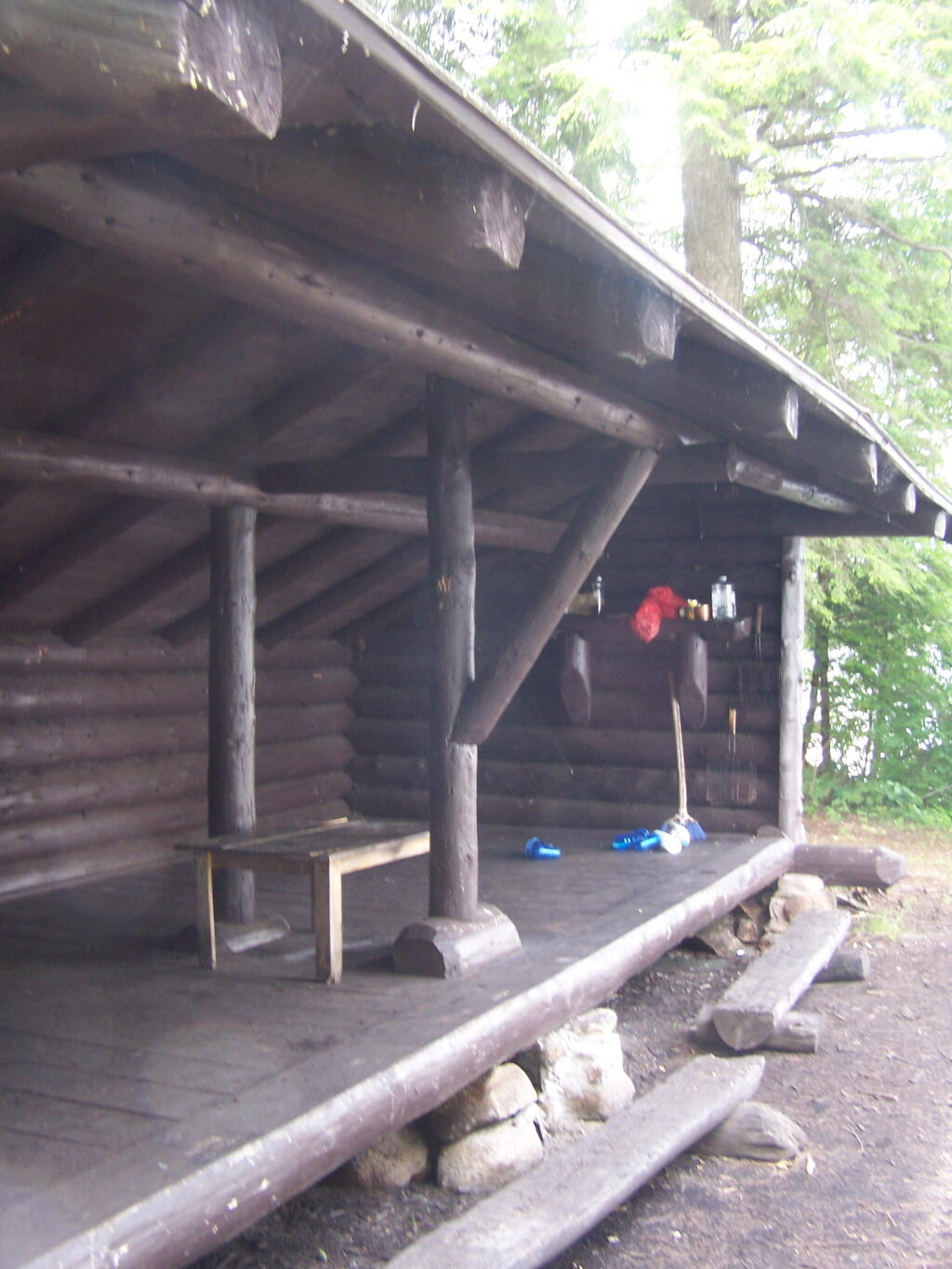
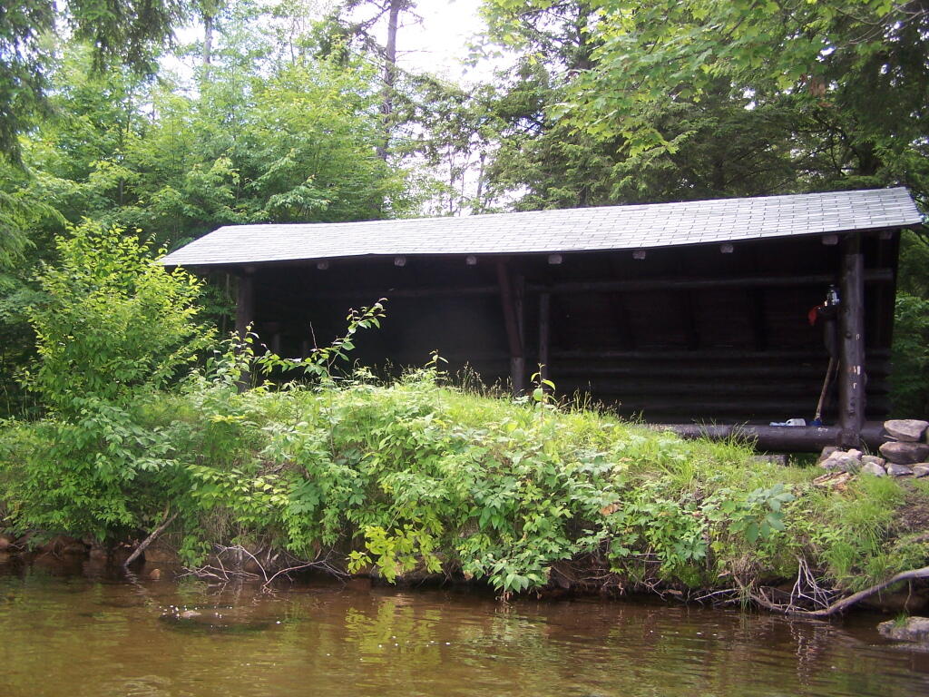
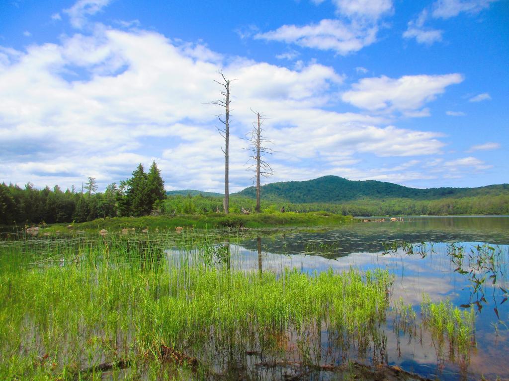
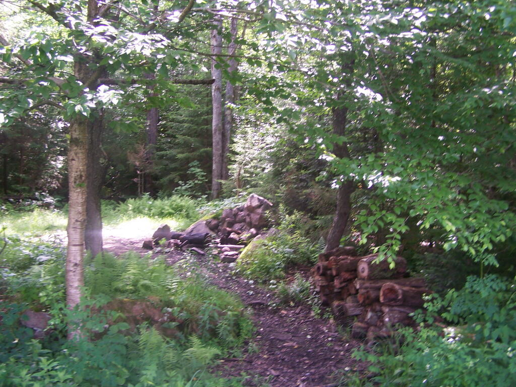
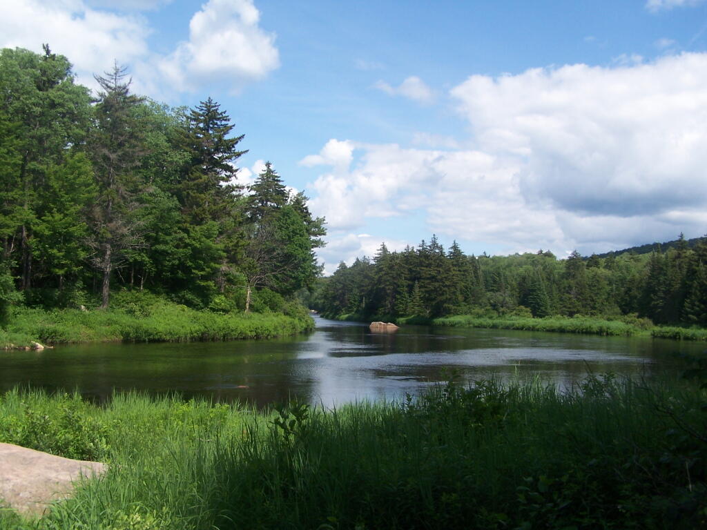
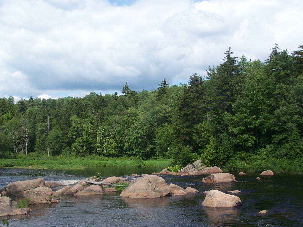
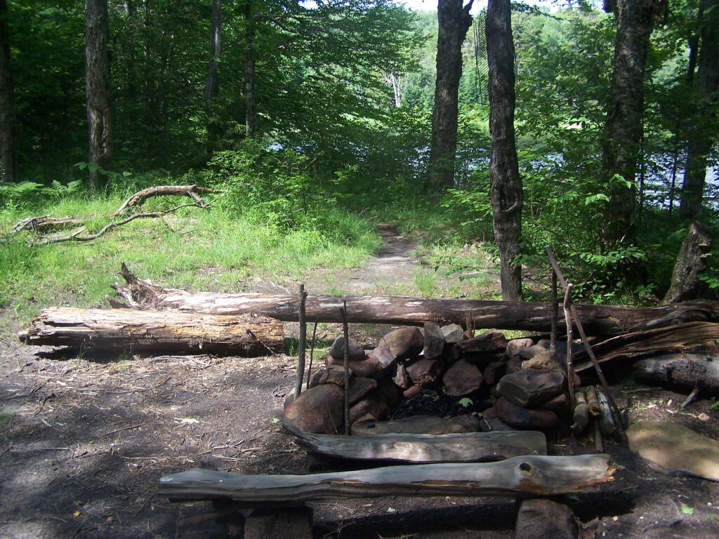
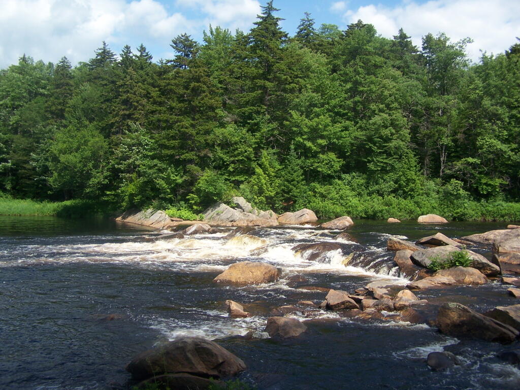
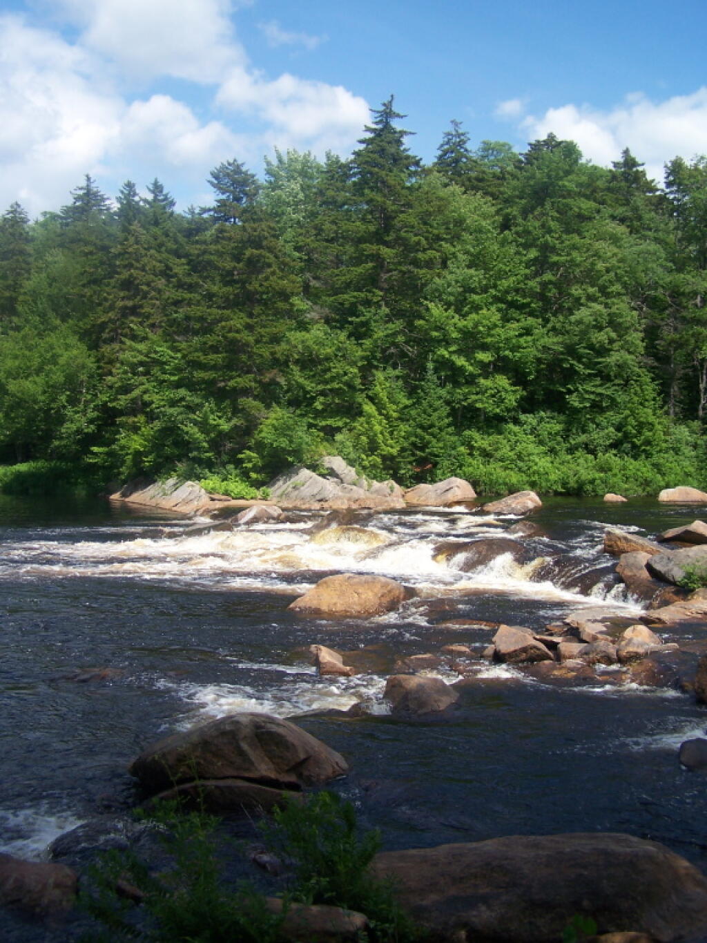
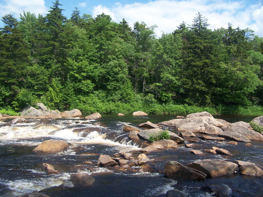
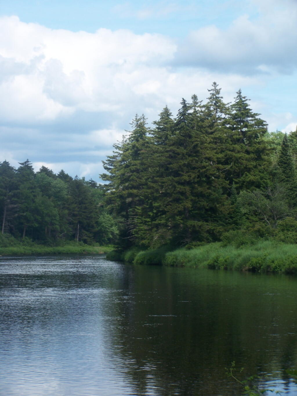
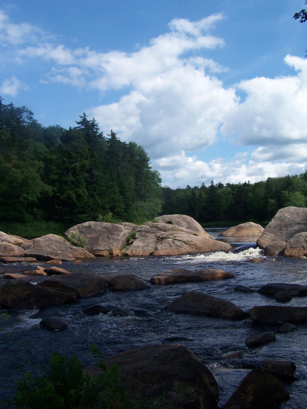
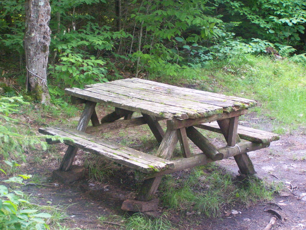
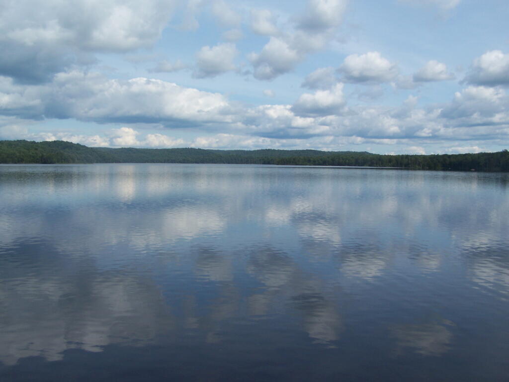
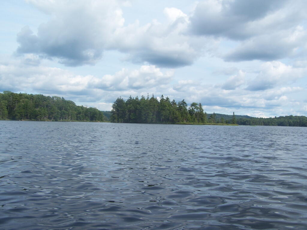
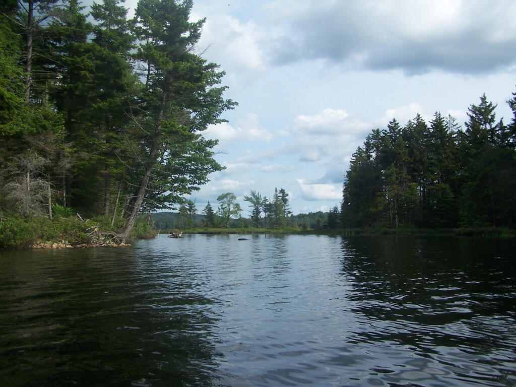
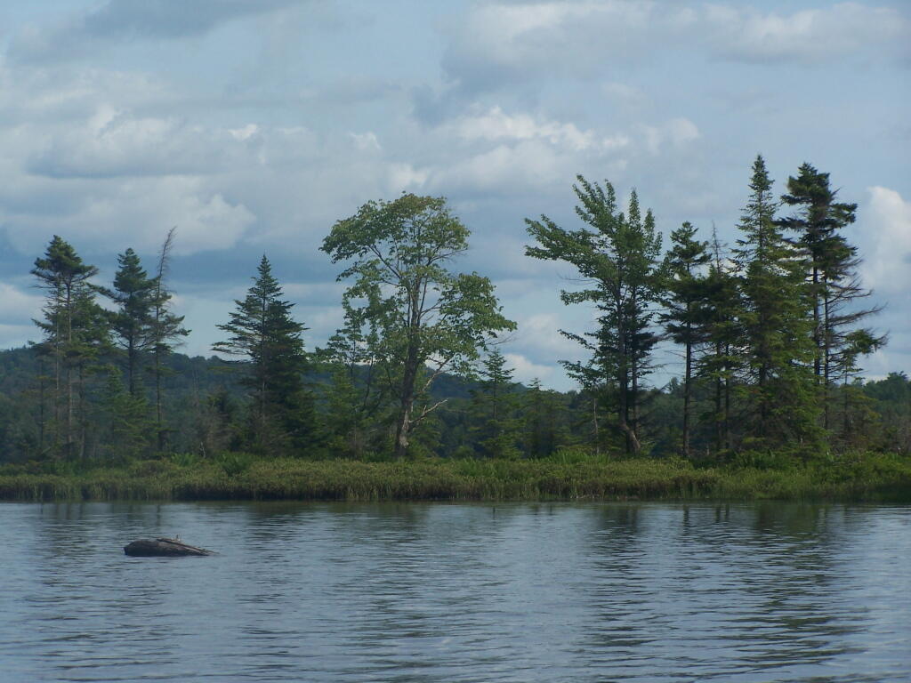
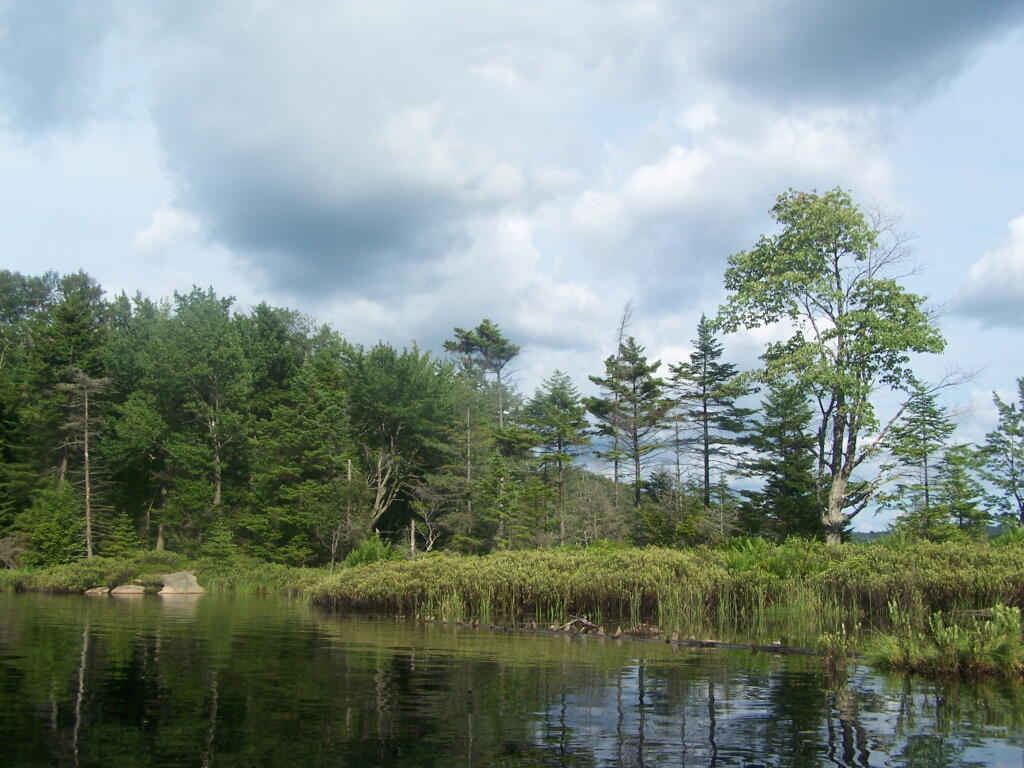
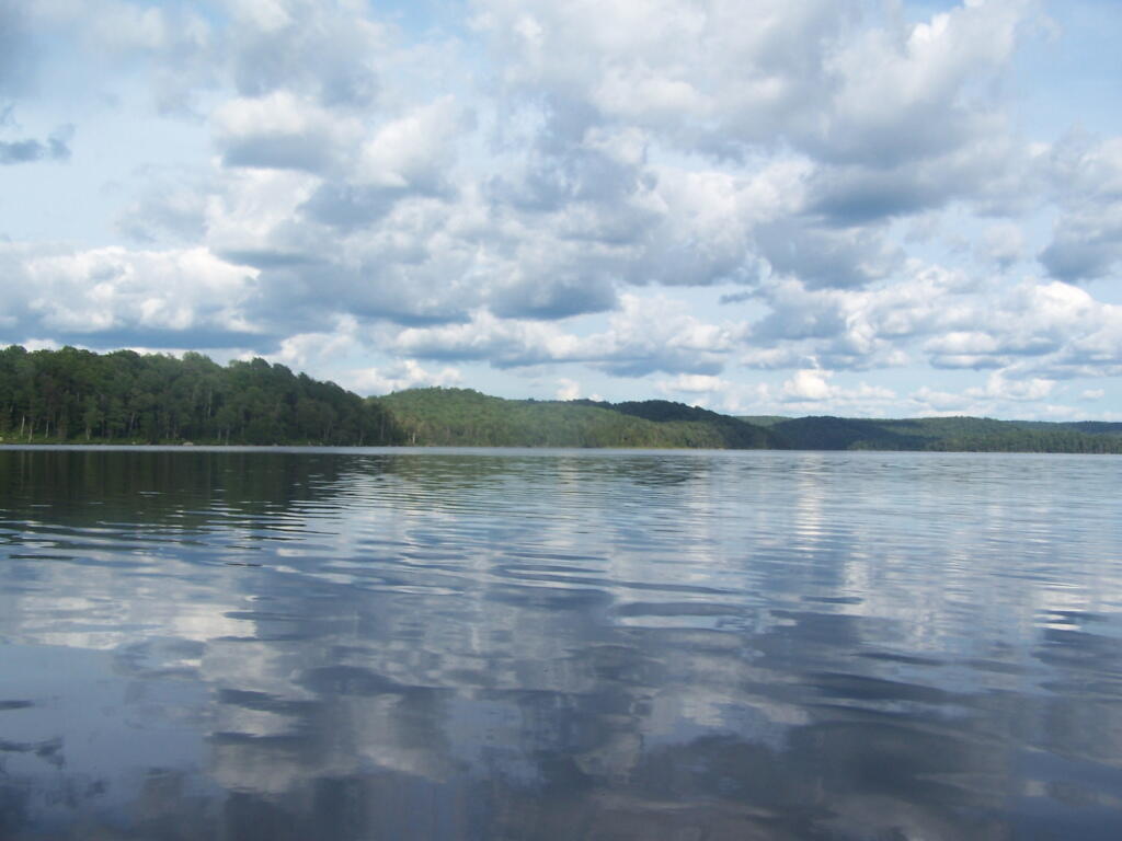
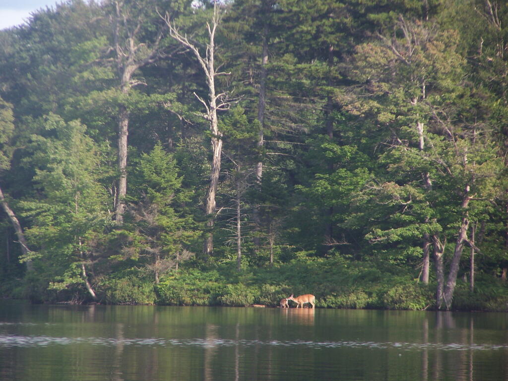
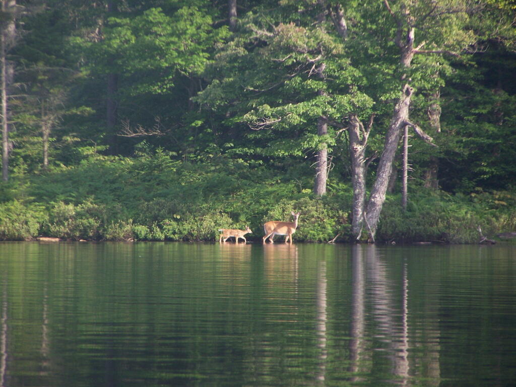
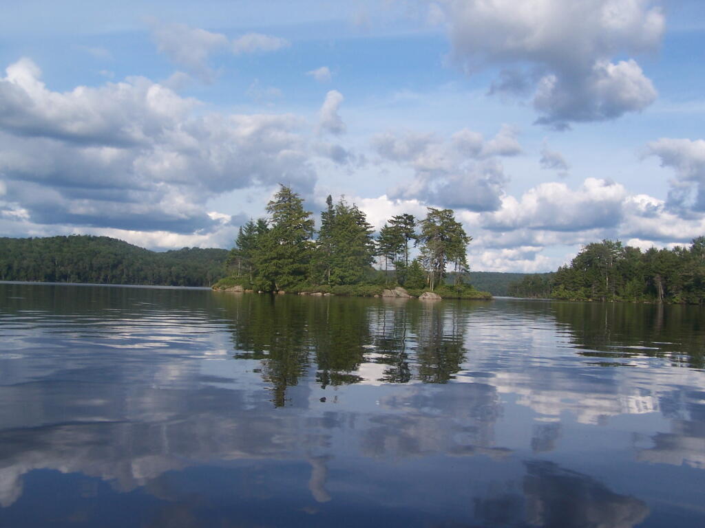
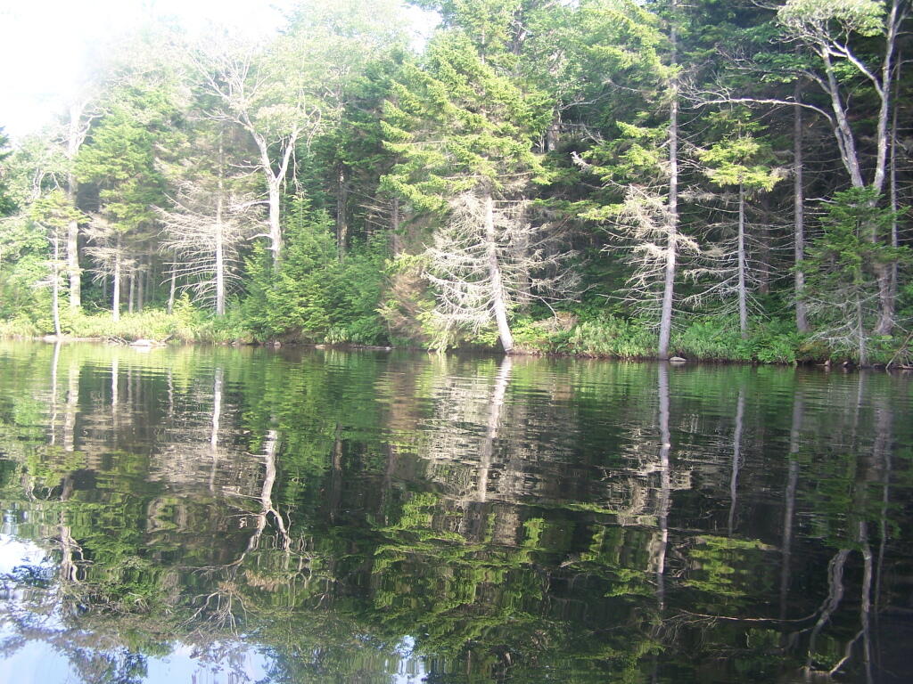
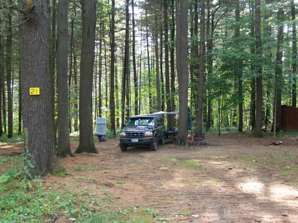
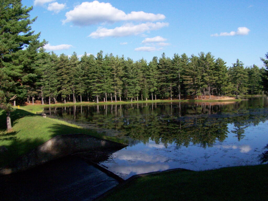
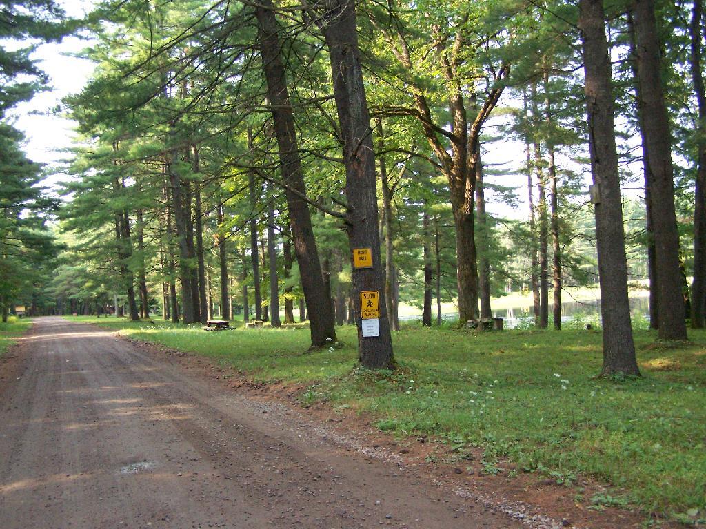
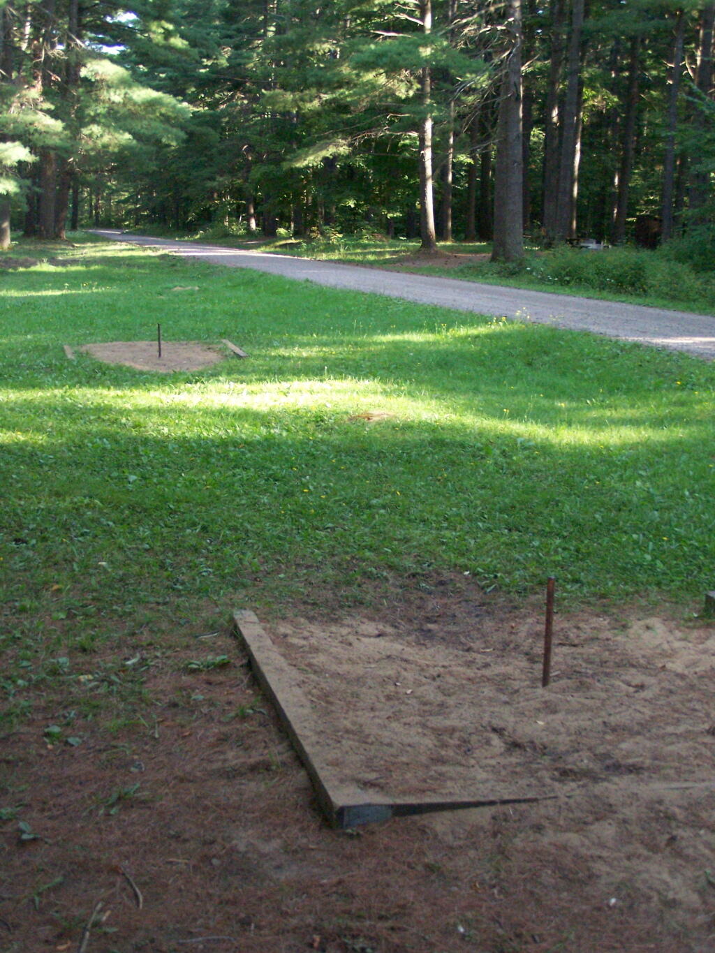
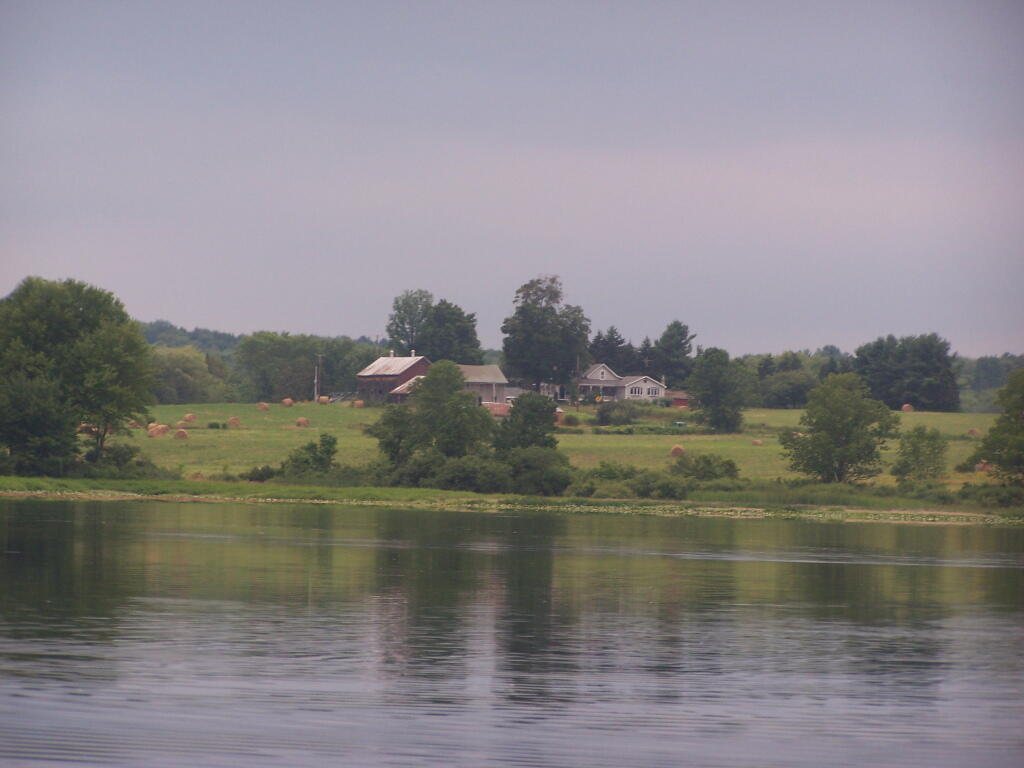
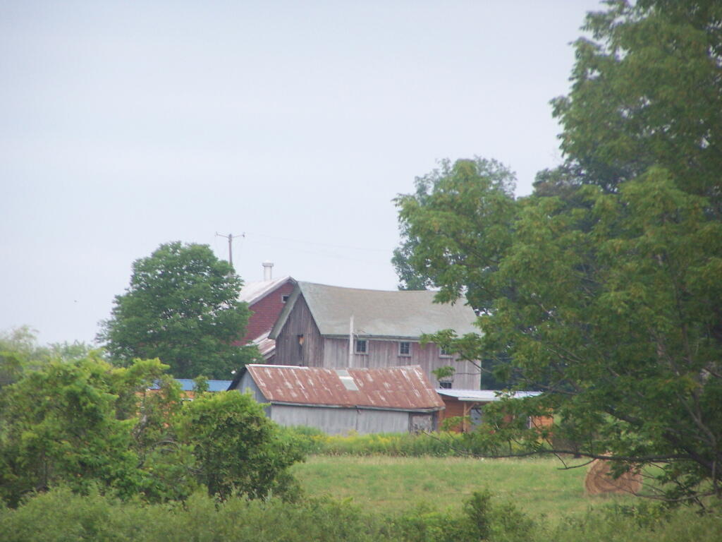
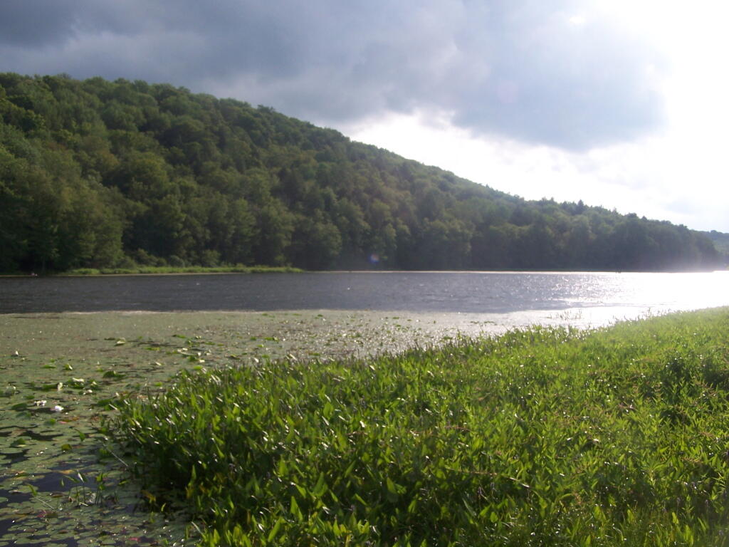
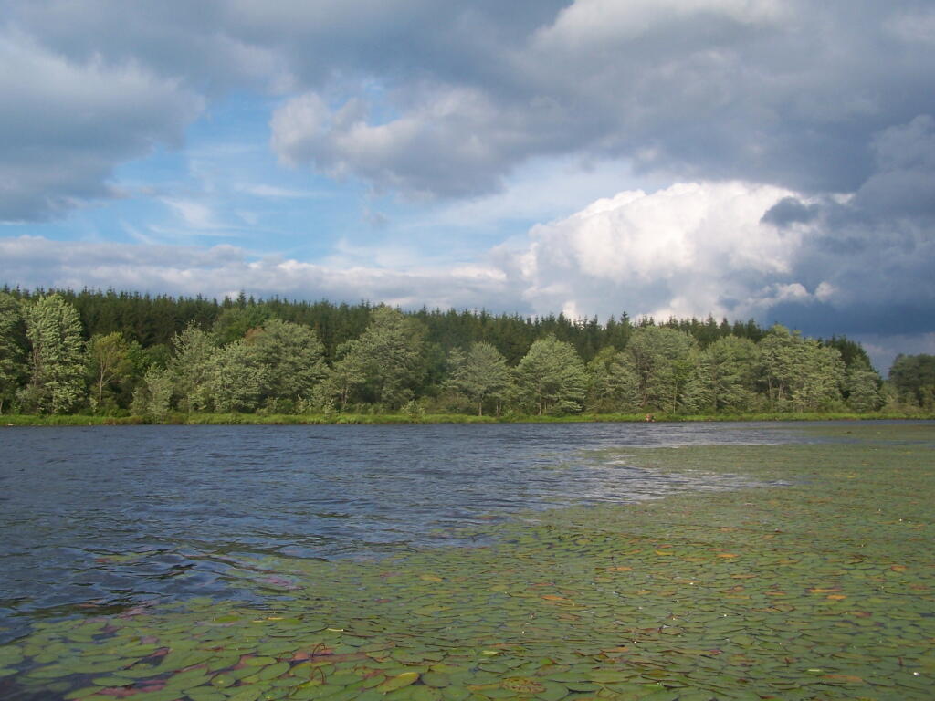
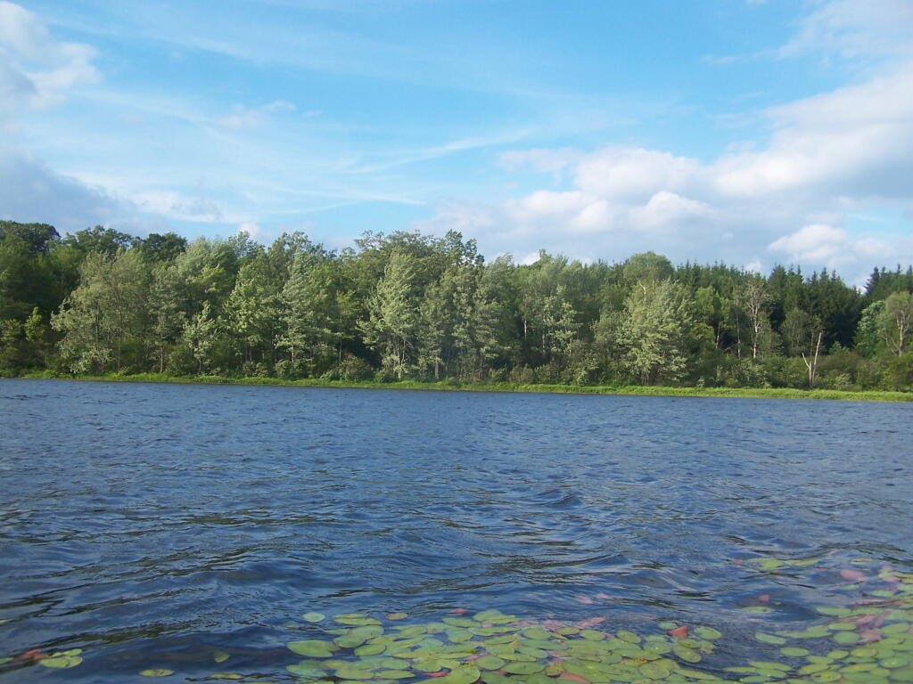
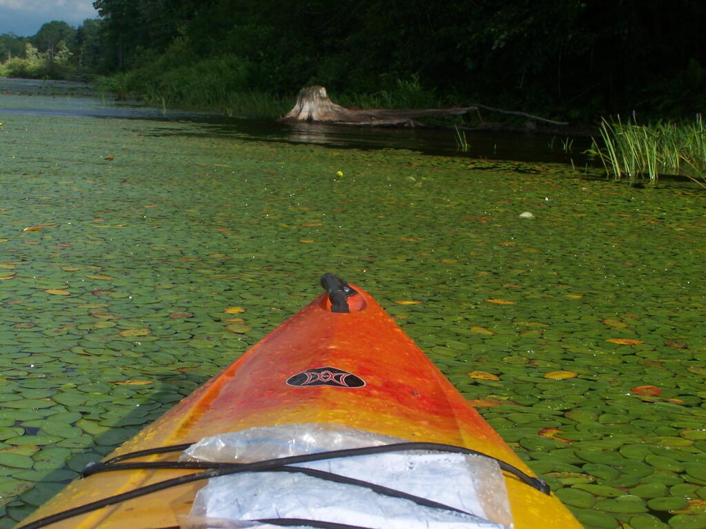
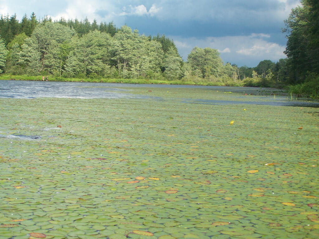
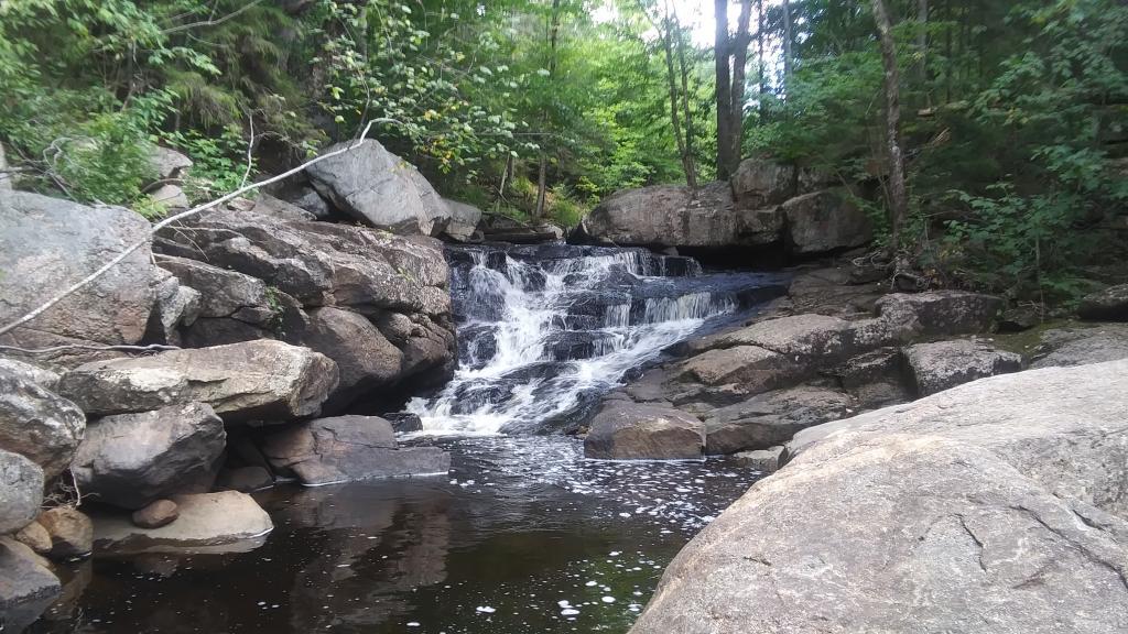
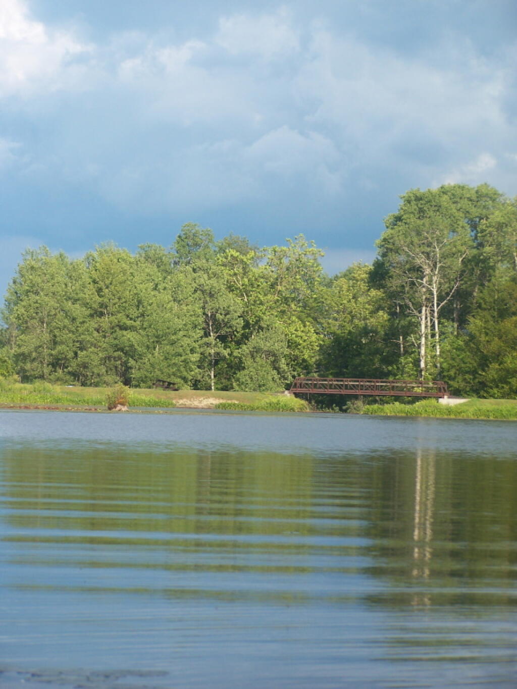
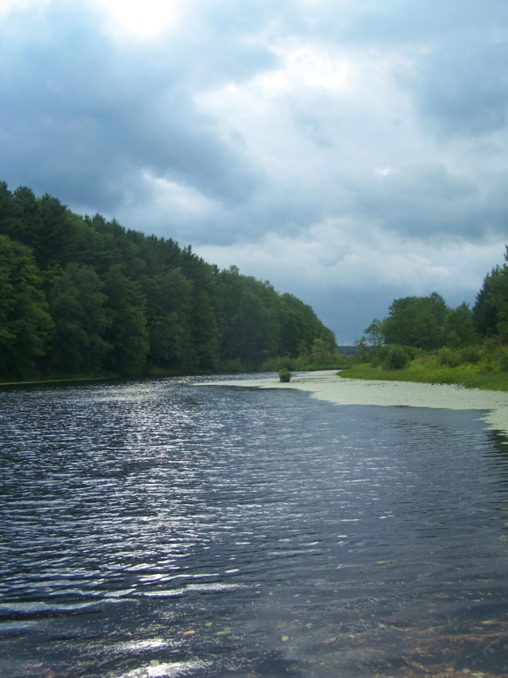
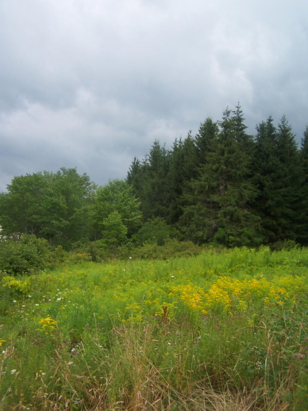
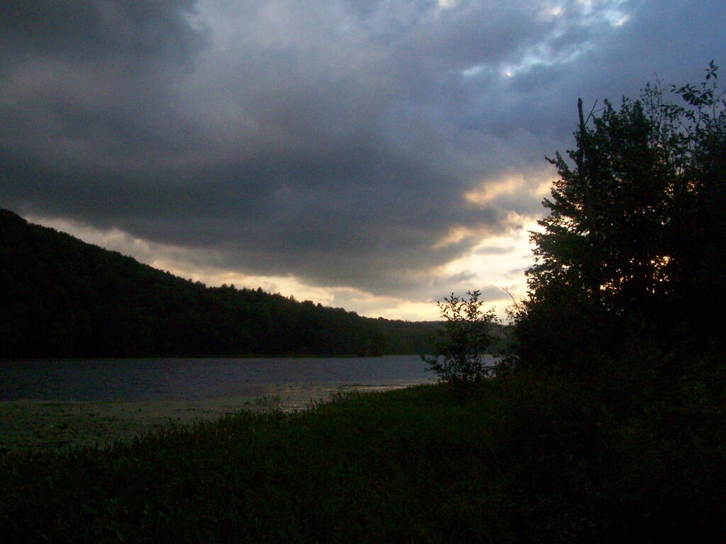
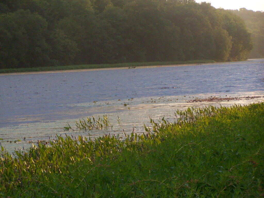
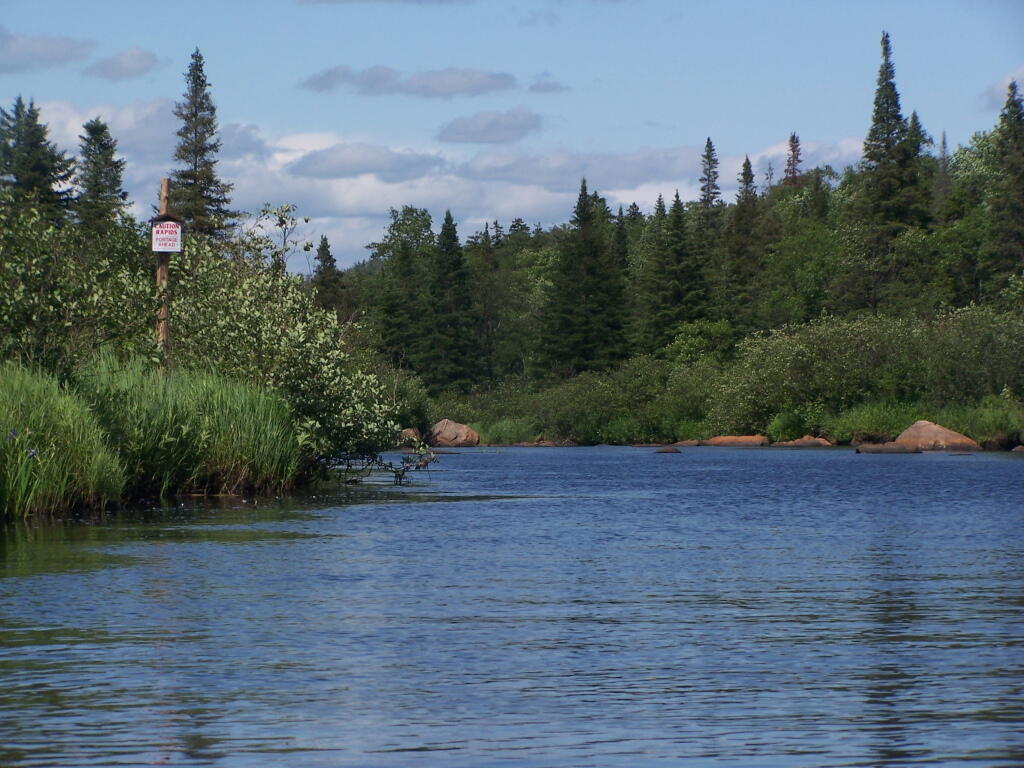
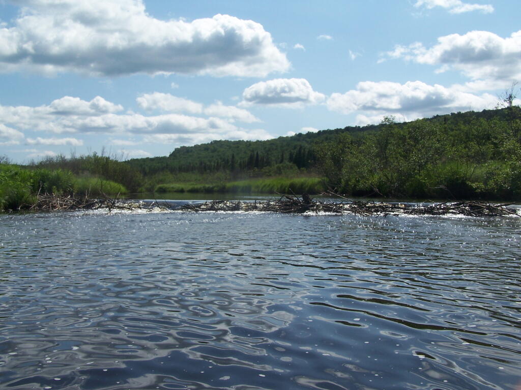
Like Moose River Plains, all of the sites are hardened with gravel, have picnic tables, and outhouses. They are a short walk from a man-made lake, consisting of the Redwater Brook (red from iron in water), which was damned up by the Civilian Conservation Corps. Swimming is allowed. There is a horseshoe pit. There is a hand pump for water, although it says “Non-Potable Water”, so boil first. Many of the sites are pretty close together (25 sites on 1/2 mile of road, only one side), with somewhat limited screening. On weekdays in summer, when I camped there, it was little used.

Campsite 21

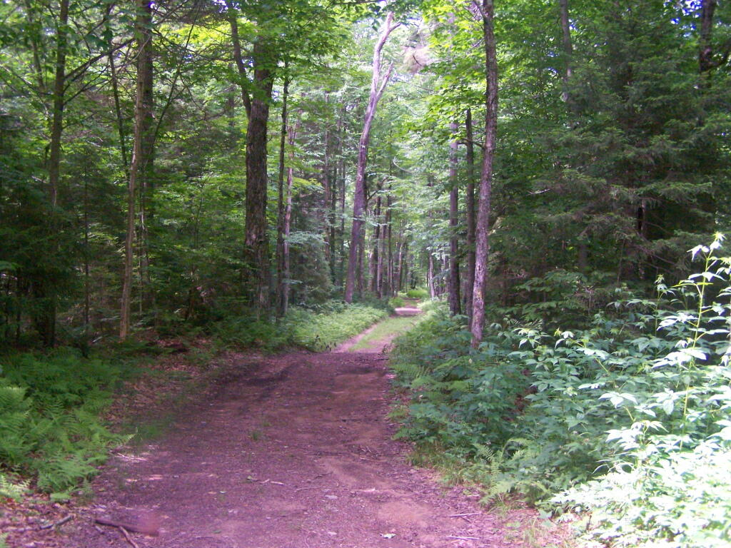
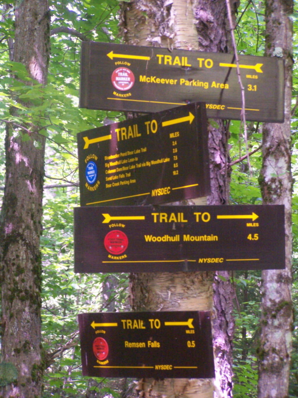
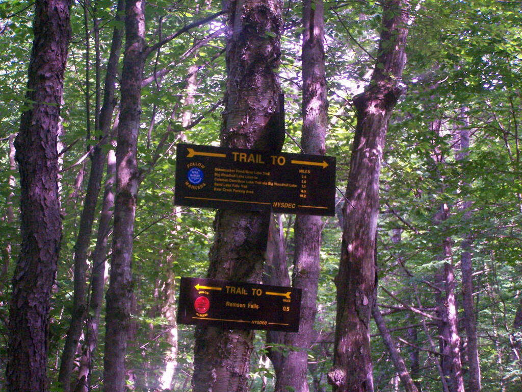
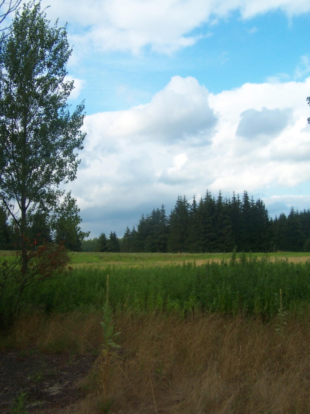
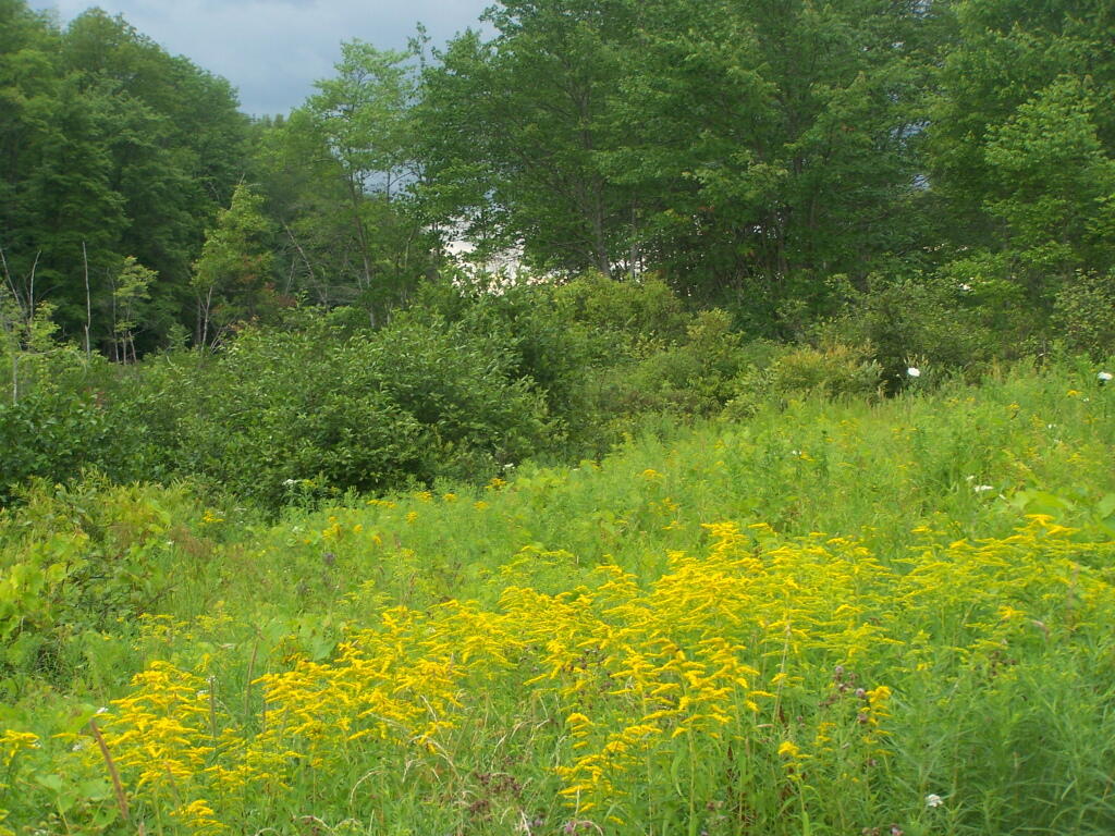
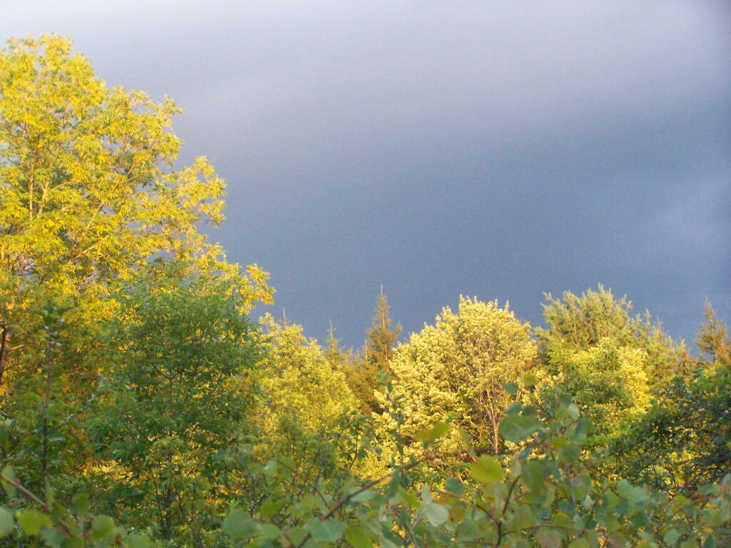
Nearby there are dozens of miles of truck trail, hiking, and horse trail to explore, and while not-officially sanctioned by the DEC are also used for riding ATVs. ATV use on roads were allowed prior to Court-case prohibiting on-road use of ATVs except to access trails.

“The Walter Pratt Memorial Park features two accessible camp sites [ed note: and 19 other sites that can accommodate trailers/RV/trucks] designed for use with camper trailers. Each site has an accessible picnic table and a shared privy. There are also two accessible picnic sites and a privy located in the day use section of the park, the picnic tables overlook the impoundment at Redwater Dam. The park is open from mid-May to October, for camping and picnicking.”

— NYSDEC Brasher/Bombay State Forest

Roadside Campsites.

Road Number of Sites
Walter Pratt Memorial Forest
At the Redwater River Dam
21
Tri-town Horse Camp (Field Camping)

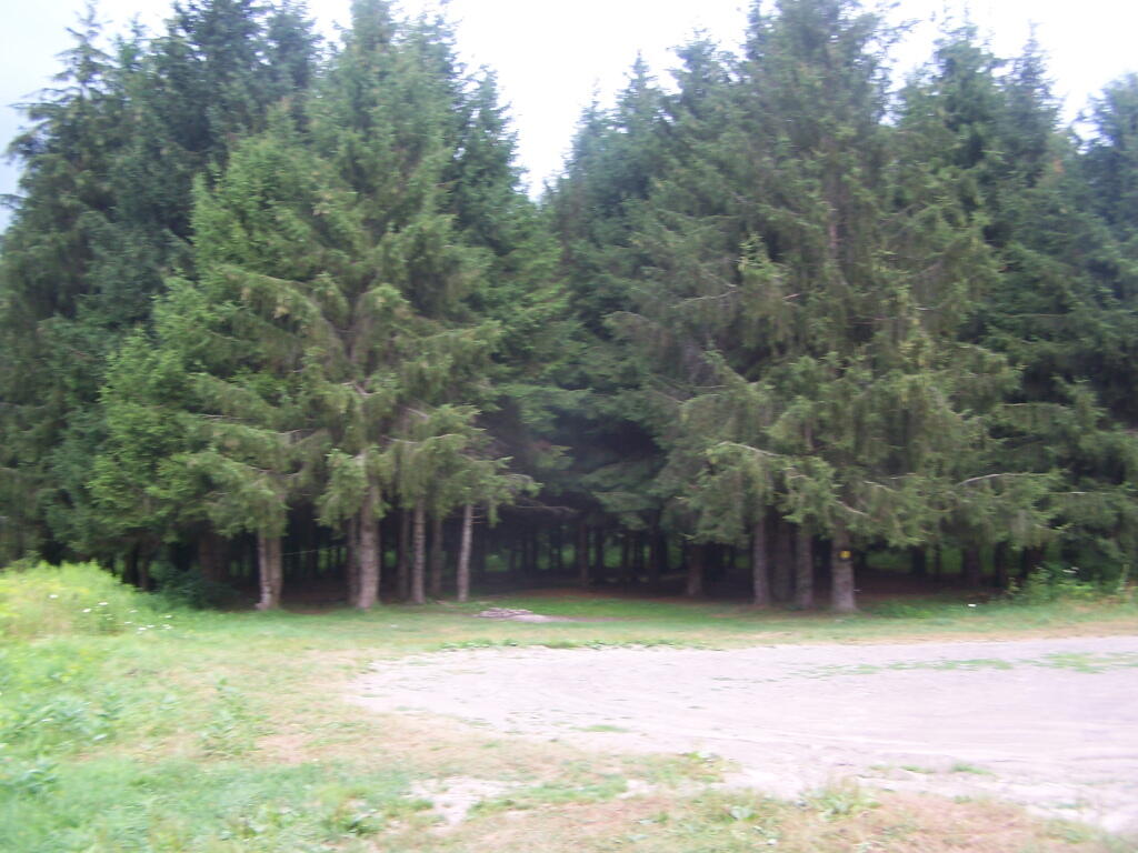
Walter Pratt Memorial Forest.

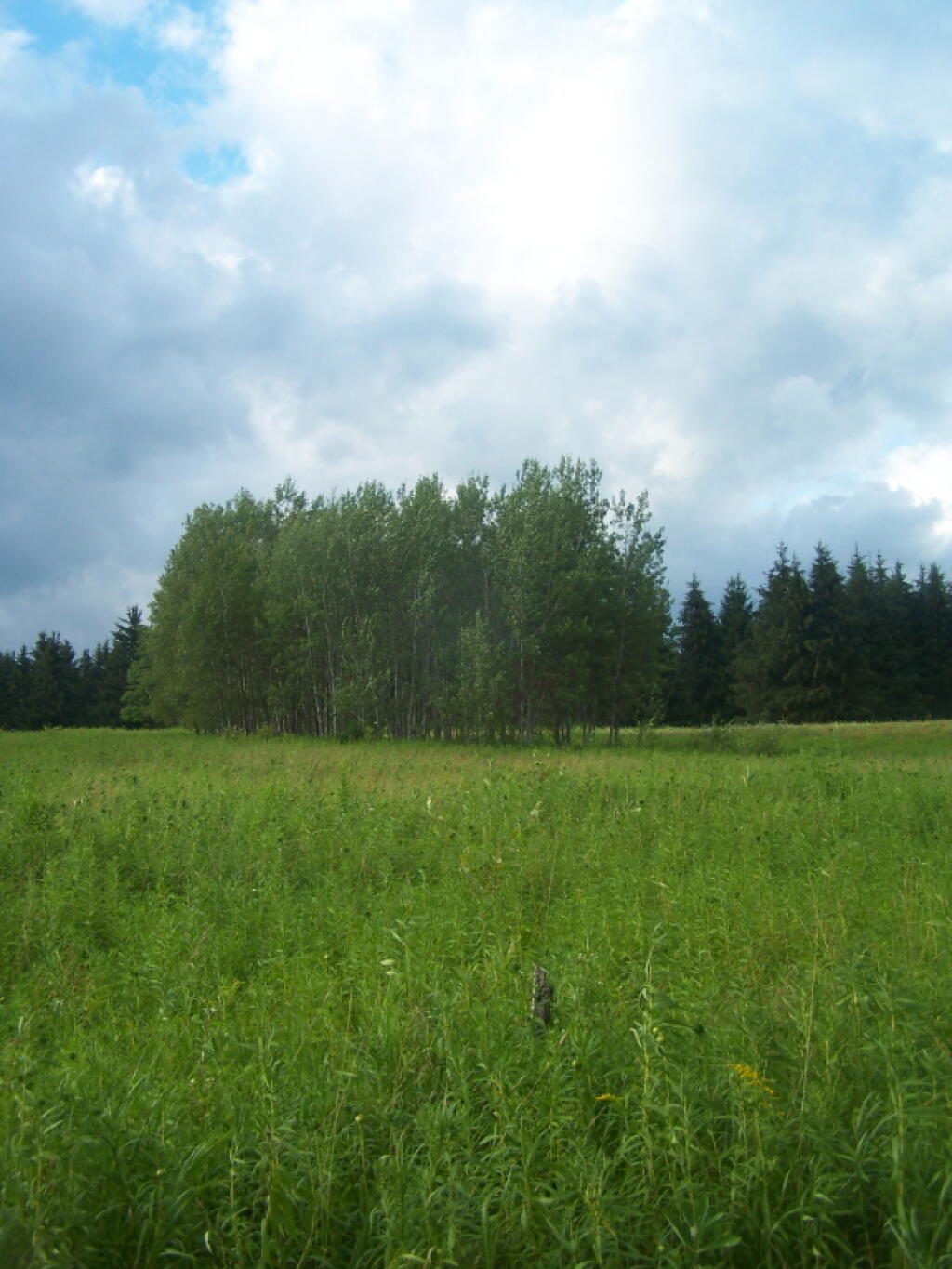
Tri-Town Horse Camp Assembly Area (Truck Trail No. 901)

More Resources…

C.C. Dam

Camping

Entering the Campground

Horseshoe Pit

Map: Rensselaerville State Forest - Hillcross Parcel
Map: Rensselaerville State Forest - Hillcross Parcel - Ortho