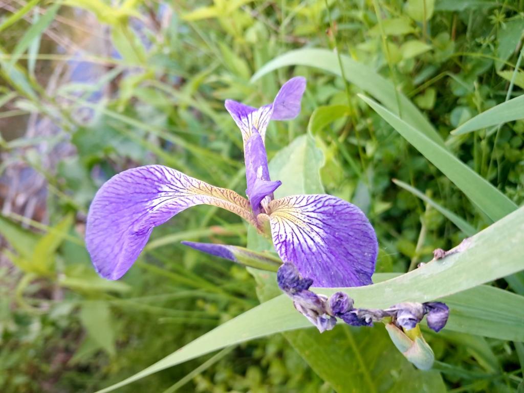
Iris

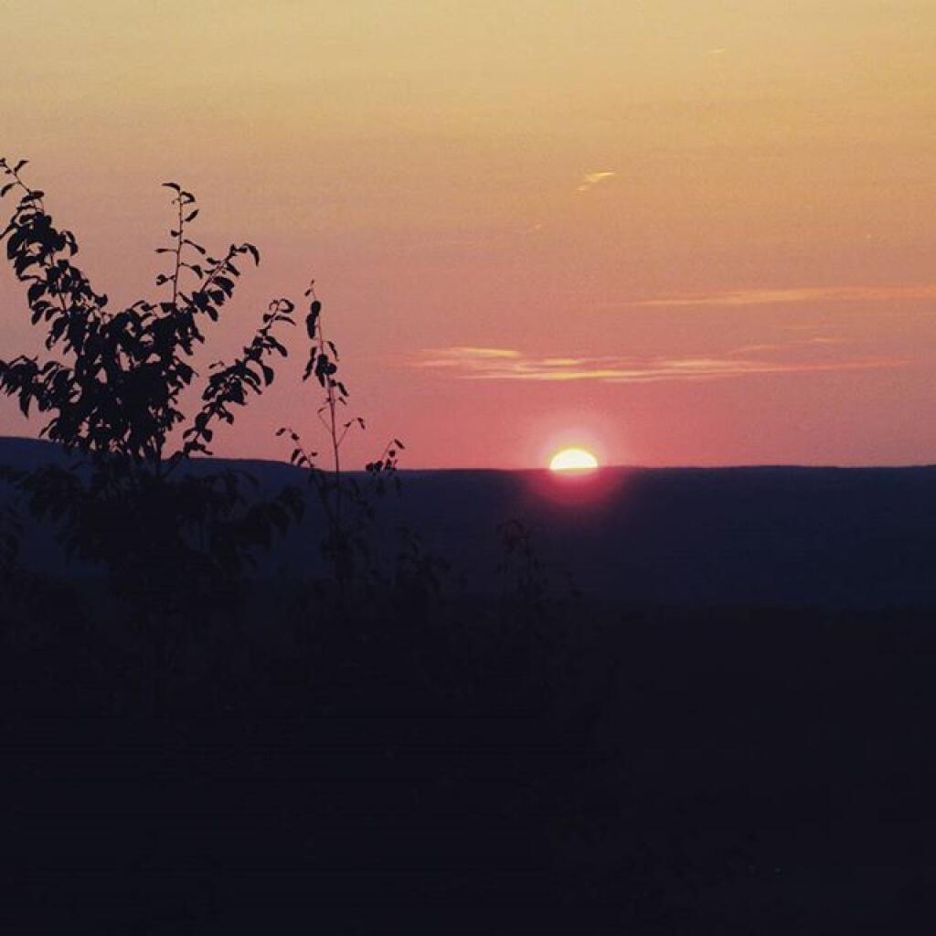

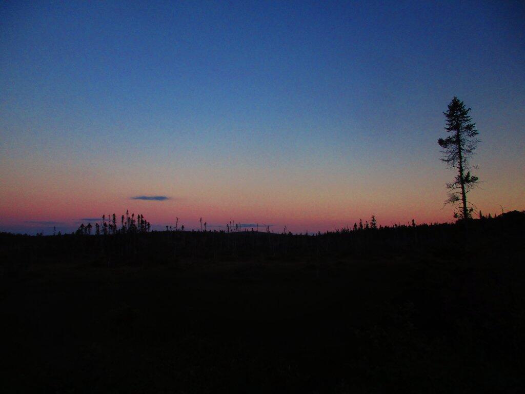
By the time I got off Lows Ledge and stopped at the Hitchens Pond Carry for a bit, it was almost 9 PM by the time I got back to my truck. I stopped and snapped this picture of the view along the way of Lows Upper Road, sometimes also called Sabbist Scout Camp Road. The road is gated, but it is maintained for DEC vehicles and the utility corridor that runs under it, and is a pleasant walk.
Wednesday June 24, 2020 — Bog River Flow — Bog River and Winding Falls Trails 🗺 — Bog River Trail 🗺