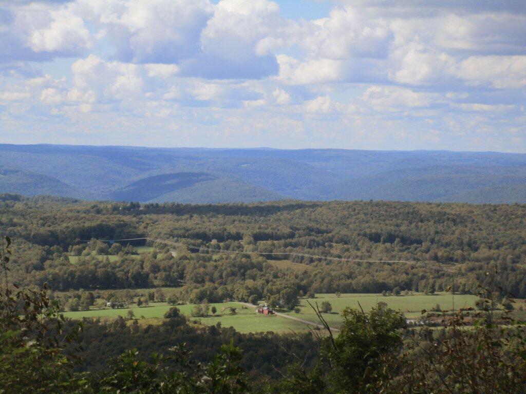
Leonard Hill State Forest
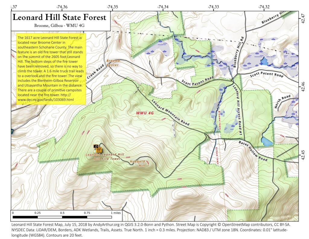
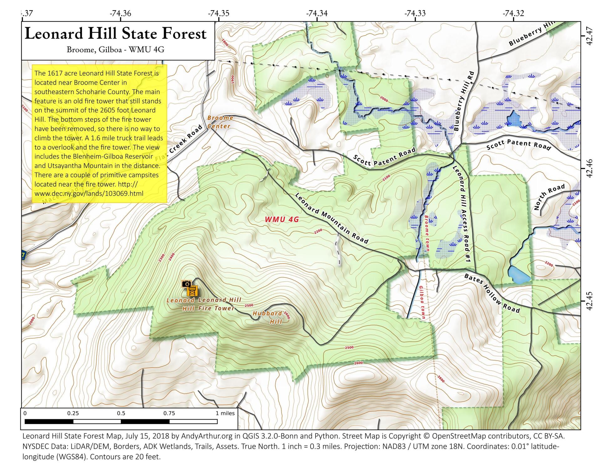
Download a High Resolution JPEG Image of the Leonard Hill State Forest or an Adobe Acrobat Printable PDF of the Leonard Hill State Forest.

Bookmark my free Interactive GPS Map for your phone:
https://andyarthur.org/ny
... shows your location as a blue dot in relationship to campsites, trails, state land. This online map requires cell service, won't work in remote country, so also bring a paper map.
Free Download of New & Historical USGS 1:24k Topograpic Maps
Interactive maps with backcountry and roadside camping: New York, Pennsylvania, West Virginia & Vermont. List of NYS DEC Lean-Tos and Firetowers.
Google Spreadsheet with Roadside, Primitive and Pay Campsites
More about Leonard Hill State Forest...
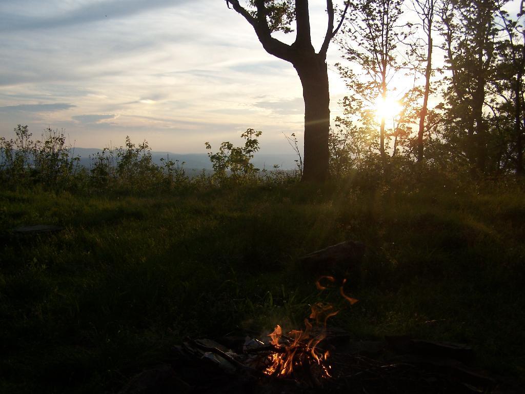
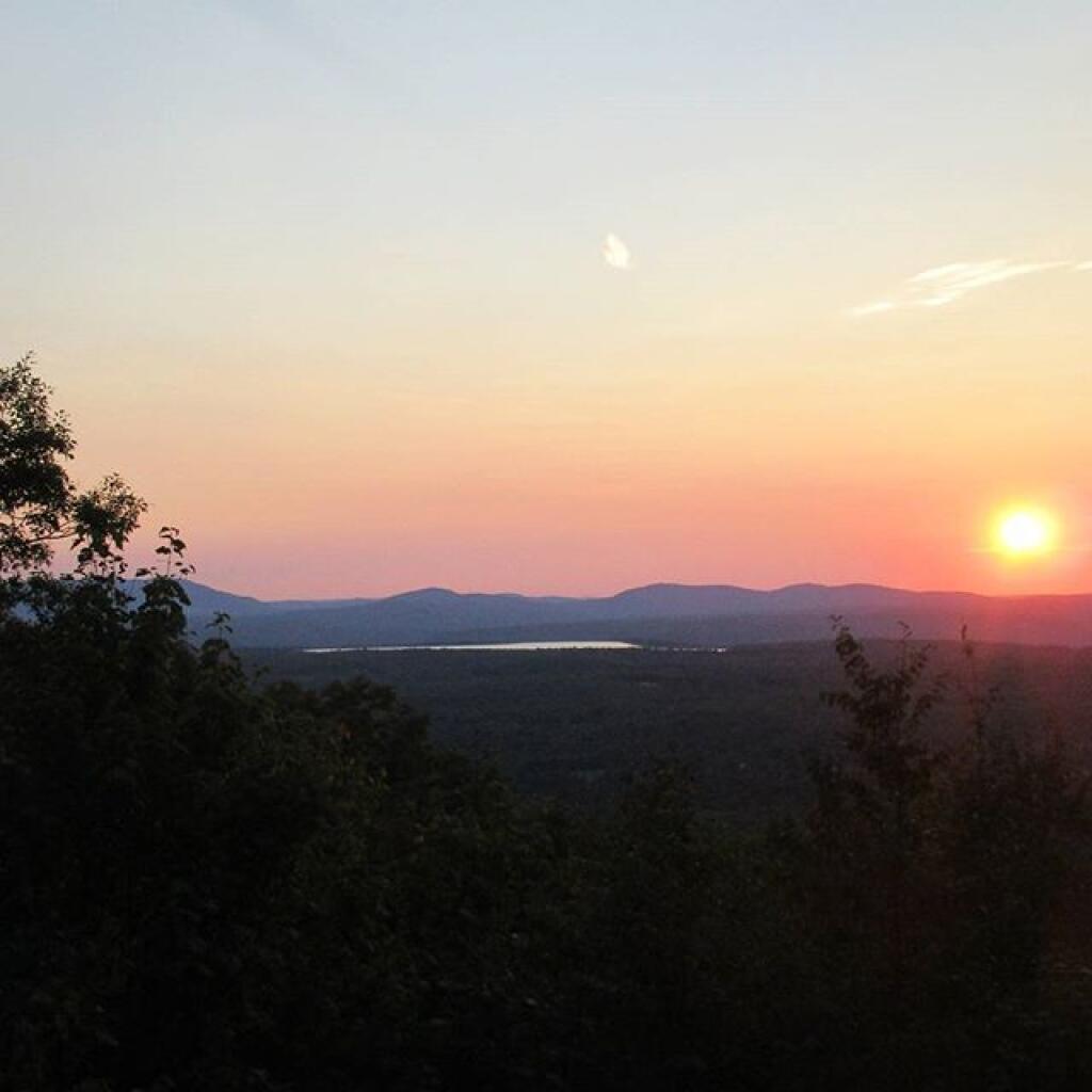
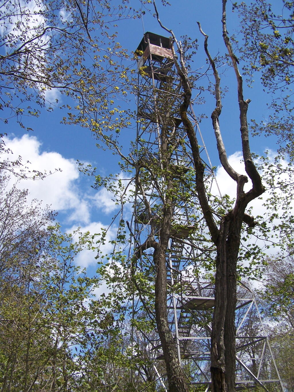
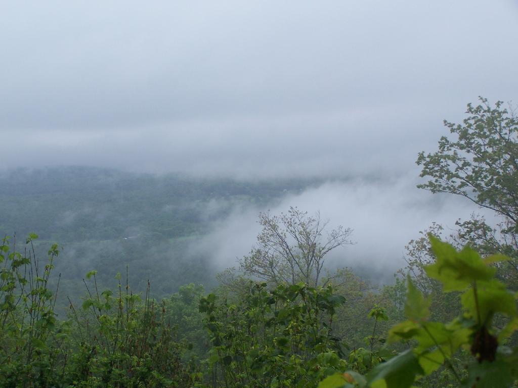
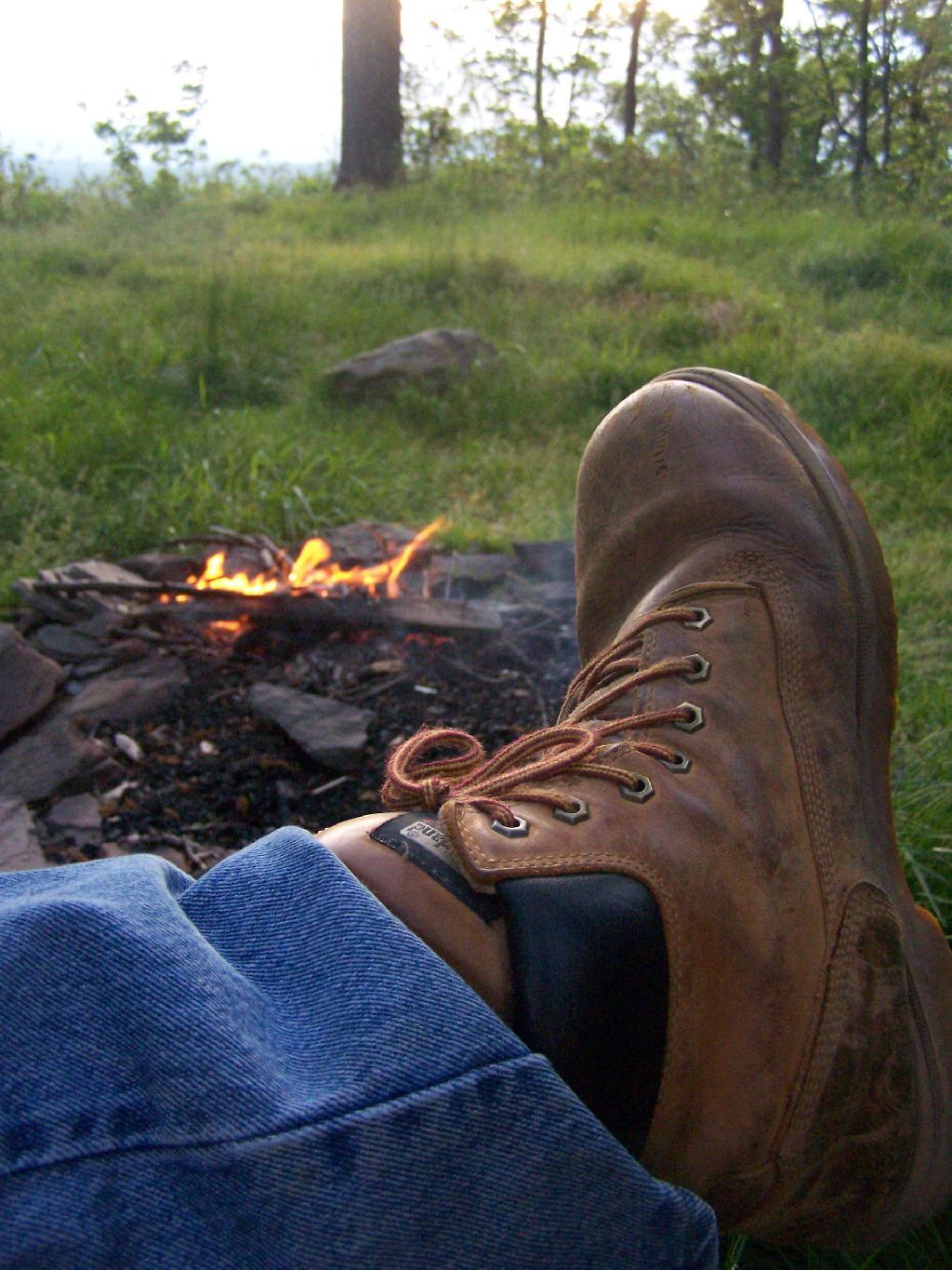
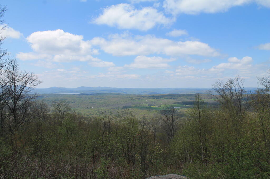
The 1617 acre Leonard Hill State Forest is located near Broome Center in southeastern Schoharie County. The main feature is an old fire tower that still stands on the summit of the 2605 foot Leonard Hill. The bottom steps of the fire tower have been removed, so there is no way to climb the tower. A 1.6 mile truck trail leads to a overlook and the fire tower. The view includes the Blenheim-Gilboa Reservoir and Utsayantha Mountain in the distance. There are a couple of primitive campsites located near the fire tower.
http://www.cnyhiking.com/LeonardHillStateForest.htm