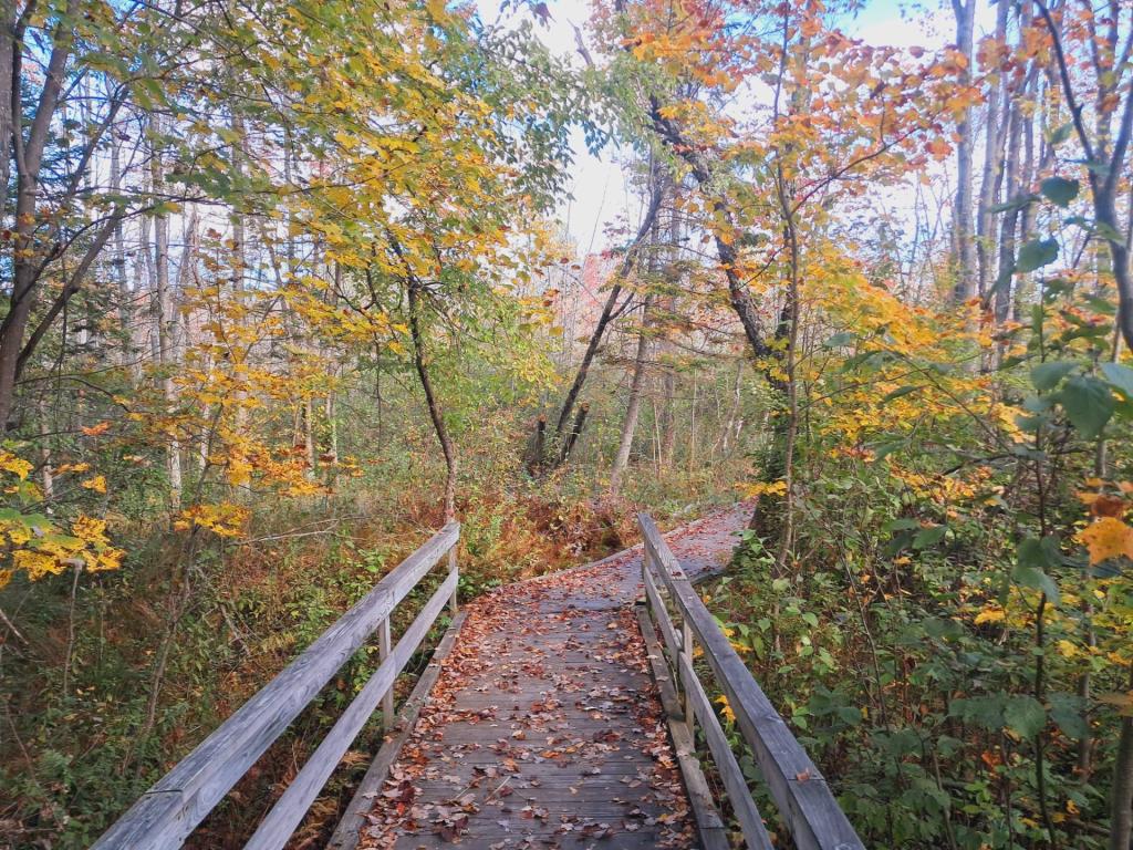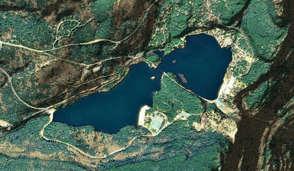
North South Lake Campground


This is beyond the forest preserve boundary, somewhat past the end of the official blazed Tenant Creek Trail, following a herd path. Not sure if this even is a public road, it doesn't appear on the SAM (state address management) map, but is on some topographic maps.
Saturday April 24, 2021 — Tenant Creek Falls — Tenant Creek Falls Trail 🗺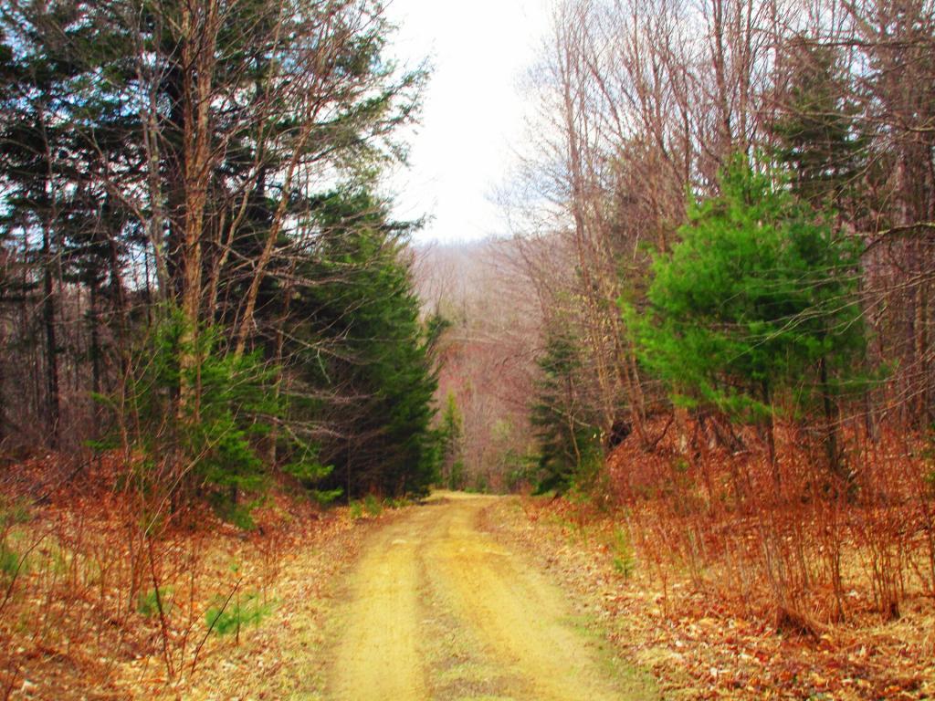

Taken from Tahawus Road, up top of the mine tailings pile where the road ends, right before getting to the gate to the mine that is post off limits.
Saturday May 21, 2011 — Tahawus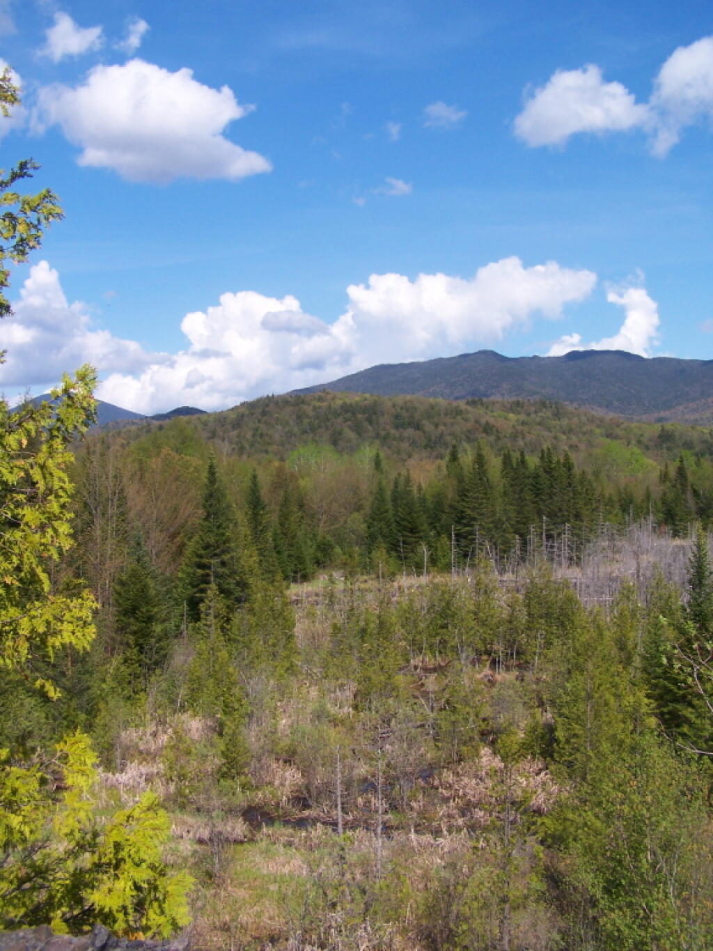

Always a nice ride but bumpy too.
Sunday April 27, 2025 — Perkins Clearing and Speculator Tree Farm Conservation Easement Lands — Jessup River Road - Perkins Clearing - Campsites and Mason Lake Access 🗺 — Kunjamunk Cave 🗺 — Old Route 8B - Austin Falls - Robbs Creek - Camping 🗺— PDF with All Maps 📚