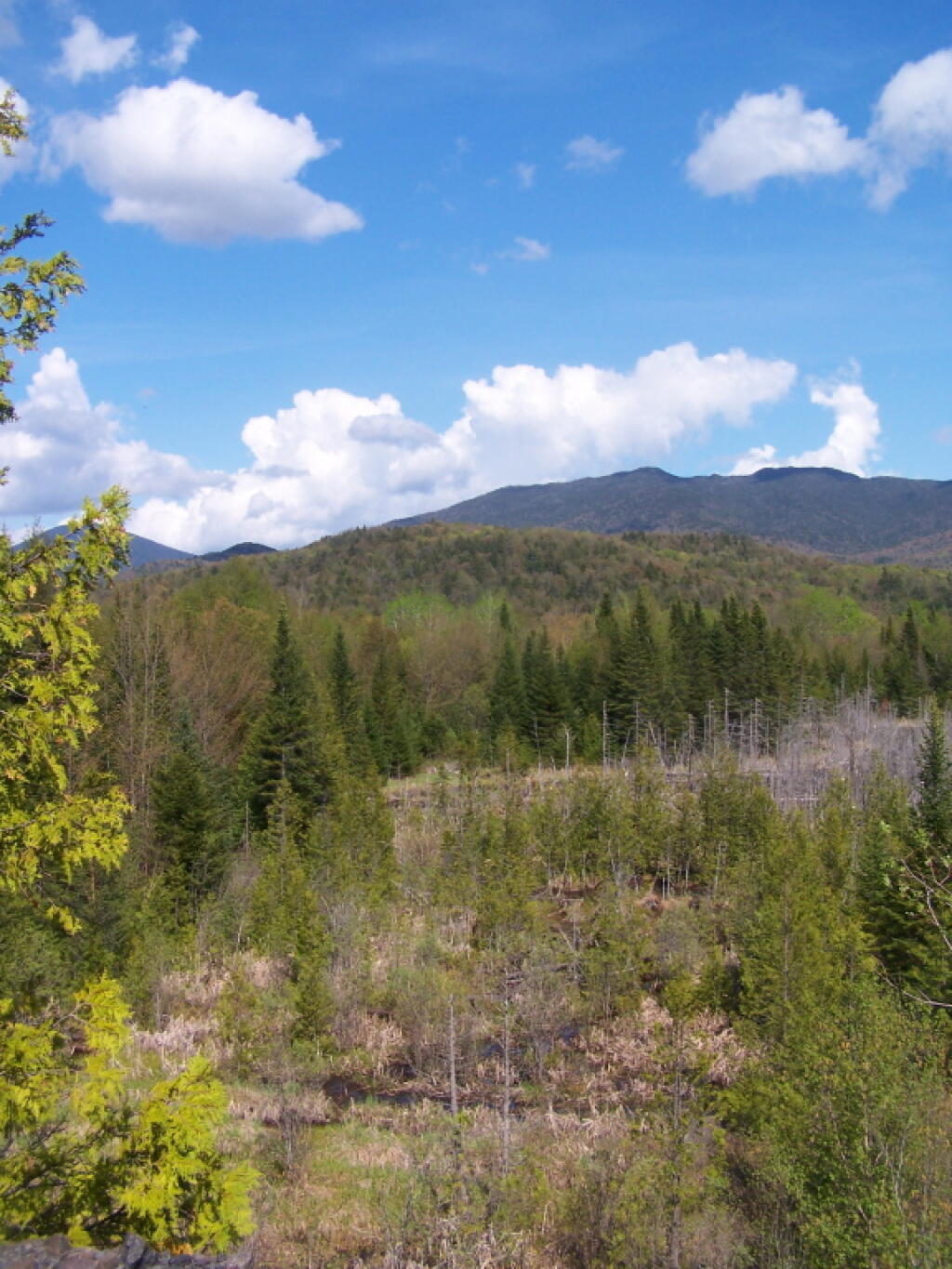
East Towards High Peaks 🖼️
Download a JPEG Image of the East Towards High Peaks.
East Towards High Peaks ...
Taken from Tahawus Road, up top of the mine tailings pile where the road ends, right before getting to the gate to the mine that is post off limits.
Taken on Saturday May 21, 2011 at Tahawus.

More about Tahawus...


