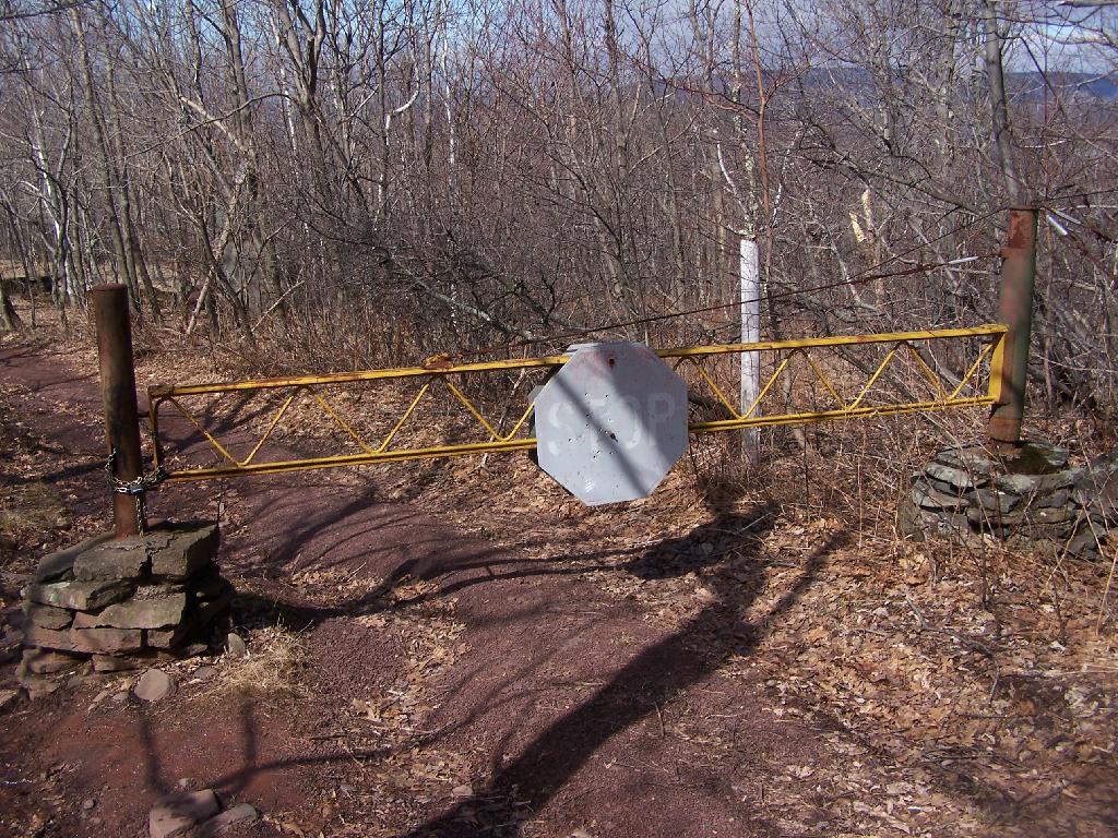
Gate on Trail to Echo Lake Andy | April 4, 2026 Sunday April 5, 2009 — Overlook Mountain — Echo Lake 🗺 — Meads Meadows Trails 🗺 — Overlook Mountain Trail 🗺— PDF with All Maps 📚
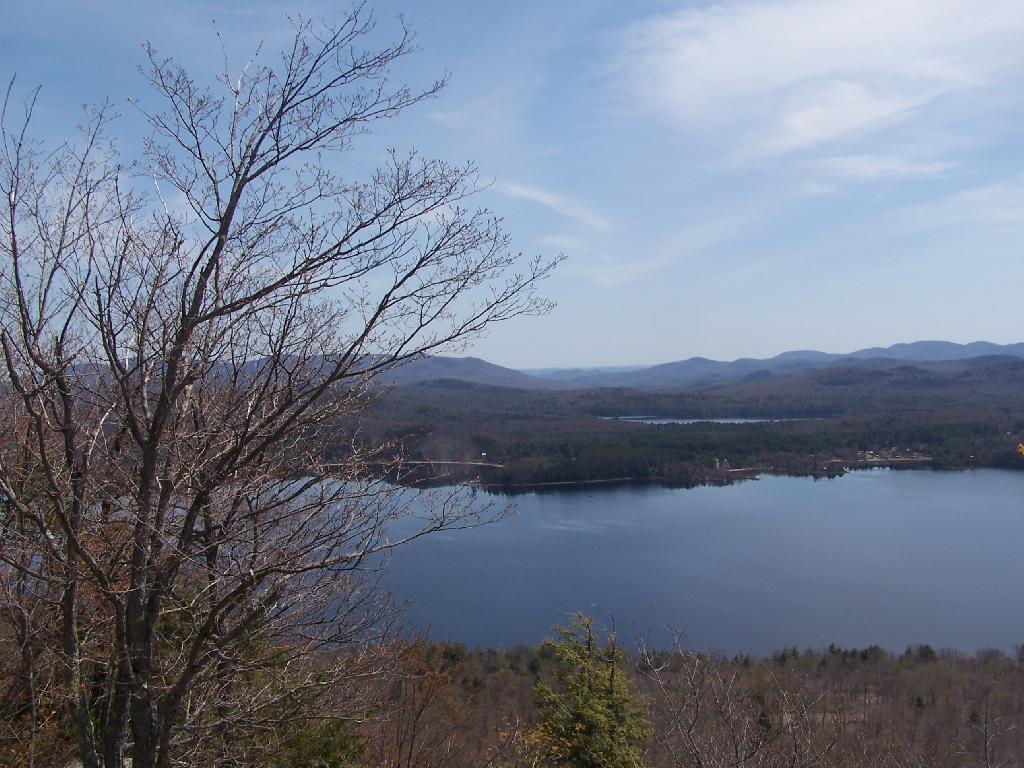
Across Crane Pond to Crane Pond Hill Andy | April 4, 2026 Friday April 13, 2012 — Crane Mountain — Crane Mountain Trail 🗺