Day: October 21, 2025💾

🖼️ Photos
Terrain Map: Mahanoy Mountain
Map: Mountain House Trail and North Mountain
Thematic Map: Percent of Town Landmass Developed

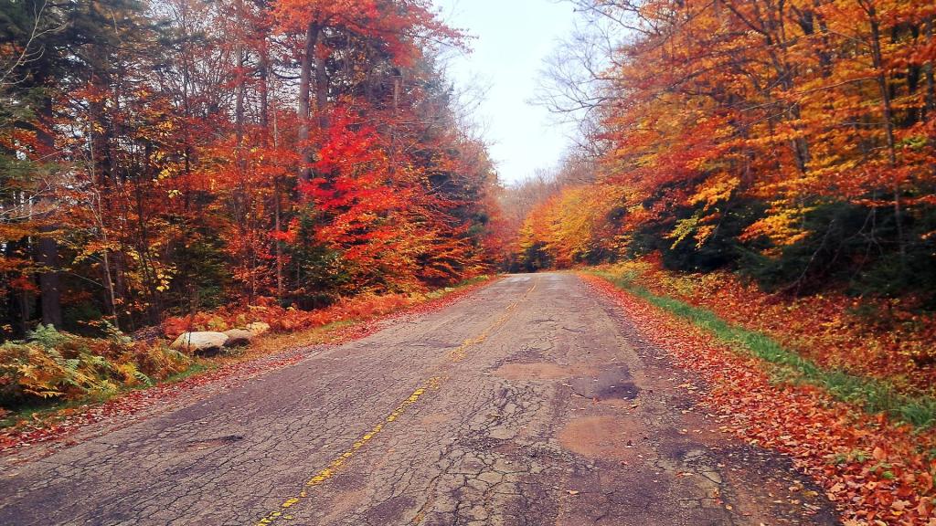
New York Route 421

NY Route 421 is widely known for its rough and uneven condition, particularly the stretch that leads toward Horseshoe Lake in the Adirondacks. This is primarily caused by recurring frost heaves during the winter months, which buckle and crack the road surface. 
Tuesday October 14, 2025 — Horseshoe Lake Wild ForestBridgebrook Pond Trail 🗺Coney Mountain Trail 🗺Goodman Mountain Trail 🗺Lows Ledge Trail 🗺Otter Brook Road at Horseshoe Lake Wild Forest 🗺Winding Falls Trail - Bog River Ski Trail - Bog River Falls 🗺PDF with All Maps 📚
Terrain Map: Light Pollution New York March 2024