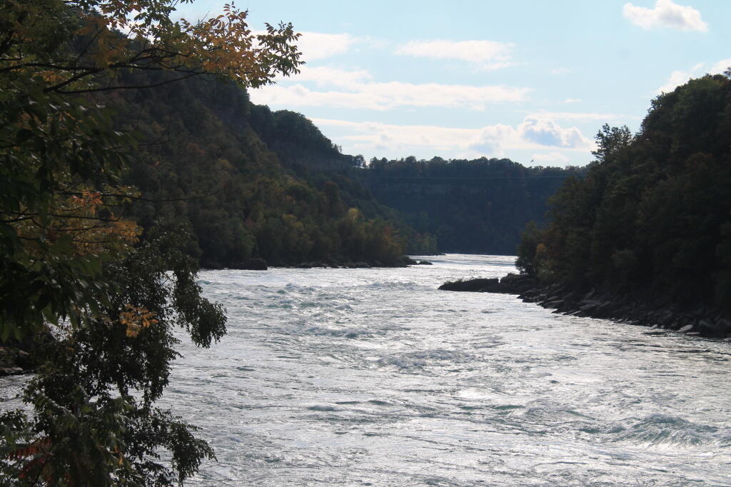
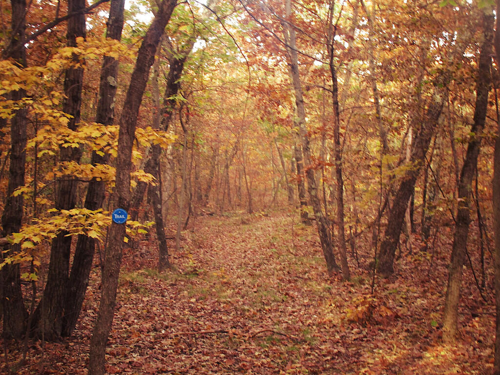
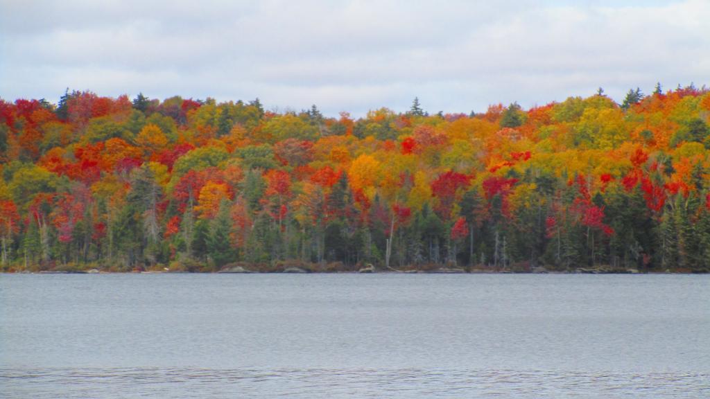
Day: September 26, 2023💾

🗺️ Maps 🖼️ Photos 📽️ Videos
Map: Empire State Topography
SVGZ Graphic: Final USGS DRG Topographic Map Update
SVGZ Graphic: Highest Named Points in Each County

Unburned Sections Look Fairly Typical

When you hike along the blue trail to the summit, past the section of the hill that hasn't been burned, the forest canopy is fairly common for other high hills in the area, such as Copeland Hill (Holt Preserve) and Wolf Hill (Kehler Preserve).

Sunday September 29, 2019 — NotesAlma Pond 🗺Dobbins Memorial State Forest 🗺Little John Wildlife Management Area 🗺Otter Lake 🗺South Hill State Forest (Oneida 23) 🗺Summer Hill State Forest 🗺West Parishville State Forest 🗺PDF with All Maps 📚
Map: Average Yearly Temperature
Map: Hewitt State Forest